Flat, The

Settlement in Gloucestershire Forest of Dean

England

Flat, The

The Severn at Bollow Bank, 1 A fine wooden garden construction belonging to the property off camera to the left.
The Severn at Bollow Bank, 1 Credit: Jonathan Billinger

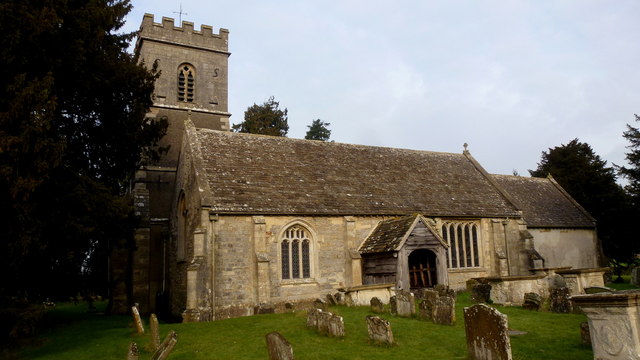
Flat, The is a small village located in the county of Gloucestershire, England. Situated in the picturesque Cotswolds region, this charming village offers a tranquil and idyllic setting for its residents and visitors alike.

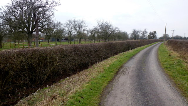
With a population of around 500 people, The Flat maintains a close-knit community atmosphere. The village is characterized by its quintessential English countryside scenery, featuring rolling green hills, meandering streams, and traditional stone cottages. The area is particularly renowned for its stunning natural beauty and is a popular destination for outdoor enthusiasts, offering numerous walking and cycling trails.

Despite its small size, The Flat is well-equipped with essential amenities. The village boasts a local pub, The Flat Arms, which serves as a social hub and offers a warm and welcoming atmosphere. Additionally, there is a village shop that caters to the basic needs of the residents.

The Flat is also conveniently located in close proximity to larger towns and cities. Cheltenham, known for its famous horse racing festival, is just a short drive away. The city of Gloucester, with its historic cathedral and vibrant cultural scene, is also easily accessible from The Flat.

Overall, The Flat, Gloucestershire presents a serene and picturesque setting that captures the essence of rural England. With its stunning natural surroundings and close-knit community, it offers a peaceful and charming lifestyle for its residents and a delightful escape for visitors seeking a taste of traditional English countryside living.

If you have any feedback on the listing, please let us know in the comments section below.
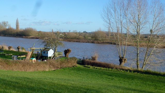
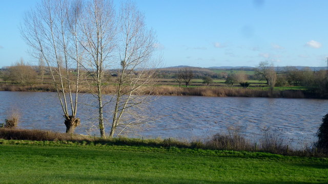
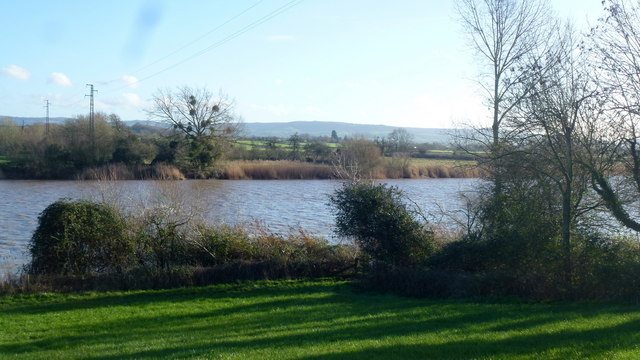
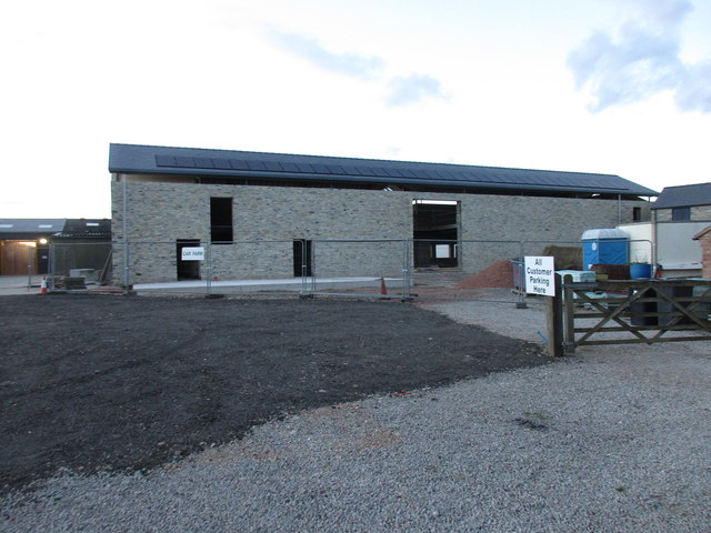
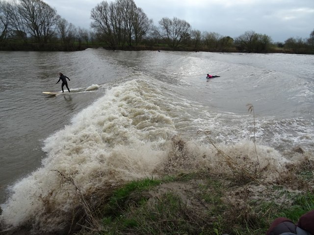
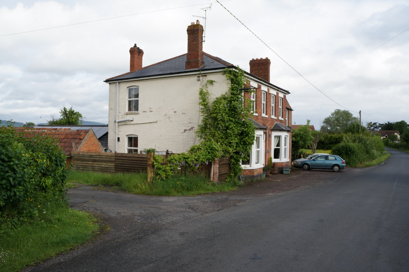
Flat, The Images

Images are sourced within 2km of 51.833047/-2.3642092 or Grid Reference SO7515. Thanks to Geograph Open Source API. All images are credited.

The Severn at Bollow Bank, 1 A fine wooden garden construction belonging to the property off camera to the left.
The Severn at Bollow Bank, 1
A fine wooden garden construction belonging to the property off camera to the left.
The Severn at Bollow Bank, 2 Looking east, straight across the big river in its tidal phase.
The Severn at Bollow Bank, 2
Looking east, straight across the big river in its tidal phase.
The Severn at Bollow Bank, 3 Beyond the river in the far distance is the Cotswold scarp.
The Severn at Bollow Bank, 3
Beyond the river in the far distance is the Cotswold scarp.
Severn and Wye Smokery, new building under construction
St. John the Baptist's church, Elmore Getting on for nine years since I last visited this spot. Unfortunately it was locked, as in 2008.
See <a href="https://www.geograph.org.uk/photo/759261">SO7614 : St. John's, view from the north-east</a> and <a href="https://www.geograph.org.uk/photo/759260">SO7614 : St. John the Baptist's church, Elmore</a>.
St. John the Baptist's church, Elmore
Getting on for nine years since I last visited this spot. Unfortunately it was locked, as in 2008. See SO7614 : St. John's, view from the north-east and SO7614 : St. John the Baptist's church, Elmore.
View from St. John's churchyard A pleasant view of rolling countryside within a big bend of the River Severn.
View from St. John's churchyard
A pleasant view of rolling countryside within a big bend of the River Severn.
St. John's noticeboard Service times and rusty drawing pins plus the first glimpse of the 2017 snowdrops.
St. John's noticeboard
Service times and rusty drawing pins plus the first glimpse of the 2017 snowdrops.
Galanthus nivalis, Common Snowdrop Seen in context by the noticeboard for St. John's.
Galanthus nivalis, Common Snowdrop
Seen in context by the noticeboard for St. John's.
Waterend Lane A dead-end lane, and the landowners around make sure you know it!
Old orchard to the left.
Waterend Lane
A dead-end lane, and the landowners around make sure you know it! Old orchard to the left.
Private track to Waterend Cottage Note the barrier; up as it happens...
Private track to Waterend Cottage
Note the barrier; up as it happens...
Lane to Castle End, Longney One of many scattered farms hereabouts.
Lane to Castle End, Longney
One of many scattered farms hereabouts.
Old Milestone by the A48, Chaxhill, Westbury on Severn Parish Carved stone post by the A48, in parish of WESTBURY ON SEVERN (FOREST OF DEAN District), 300m West of school, on grass verge, on South side of road. Elton stone, erected by the Elton (District of Huntley & Mitcheldean) turnpike trust in the 19th century. 

Inscription reads:-
7
MILES TO
GLOUCESTER
TO LONDON
112 
Carved benchmark on top.

Milestone Society National ID: GL_GLNH07.
Old Milestone by the A48, Chaxhill, Westbury on Severn Parish
Carved stone post by the A48, in parish of WESTBURY ON SEVERN (FOREST OF DEAN District), 300m West of school, on grass verge, on South side of road. Elton stone, erected by the Elton (District of Huntley & Mitcheldean) turnpike trust in the 19th century. Inscription reads:- 7 MILES TO GLOUCESTER TO LONDON 112 Carved benchmark on top. Milestone Society National ID: GL_GLNH07.
Awaiting the Severn bore Awaiting the Severn bore near Minsterworth.
Awaiting the Severn bore
Awaiting the Severn bore near Minsterworth.
Canoeist launching in preparation for the Severn bore Canoeist launching in preparation for the Severn bore near the Severn Bore Inn at Minsterworth.
Canoeist launching in preparation for the Severn bore
Canoeist launching in preparation for the Severn bore near the Severn Bore Inn at Minsterworth.
Canoeist launching in preparation for the Severn bore
Surfing the Severn bore Surfers riding a five star Severn bore near the Severn Bore Inn at Minsterworth.
Surfing the Severn bore
Surfers riding a five star Severn bore near the Severn Bore Inn at Minsterworth.
Show me another place!

Flat, The is located at Grid Ref: SO7515 (Lat: 51.833047, Lng: -2.3642092)

Administrative County: Gloucestershire

District: Forest of Dean

Police Authority: Gloucestershire

What 3 Words

///ideas.impresses.waistcoat. Near Huntley, Gloucestershire

Nearby Locations

The Flat Flat, The

Related Wikis

Walmore Common

Walmore Common (grid reference SO740162 & grid reference SO745150) is a 57.78-hectare (142.8-acre) nature reserve on the flood-plain of the River Severn...

Oakle Street

Oakle Street is a village in Gloucestershire, England. == External links == Media related to Oakle Street at Wikimedia Commons Churcham Village Website...

Oakle Street railway station

Oakle Street railway station served the village of Oakle Street, Gloucestershire, England from 1851 to 1964 on the Gloucester-Newport line. == History... ==

Grange Court railway station

Grange Court railway station was a junction station on the South Wales Railway in Gloucestershire (on the present day Gloucester to Newport Line) where...

Nearby Amenities

Located within 500m of 51.833047,-2.3642092
Bus Stop
County Primary School
Bus: yes
Naptan AtcoCode: 1600GL5055
Naptan Bearing: SW
Naptan CommonName: Walmore Hill School
Naptan Indicator: Opp
Naptan NaptanCode: gloapgpj
Naptan Street: A48
Naptan Verified: no
Public Transport: platform
Source: naptan_import
Lat/Long: 51.8295885/-2.366778
Bus Stop
County Primary School
Bus: yes
Naptan AtcoCode: 1600GL5056
Naptan Bearing: NE
Naptan CommonName: Walmore Hill School
Naptan NaptanCode: gloapgma
Naptan Street: A48
Naptan Verified: no
Public Transport: platform
Source: naptan_import
Lat/Long: 51.8293418/-2.3680385
Bus Stop
Broadway Lane
Naptan AtcoCode: 1600GLF121
Naptan Bearing: SW
Naptan CommonName: Broadway Lane
Naptan NaptanCode: gloapjpj
Naptan Street: A48
Naptan Verified: no
Source: naptan_import
Lat/Long: 51.8322637/-2.3631817
Bus Stop
Broadway Lane
Naptan AtcoCode: 1600GLF122
Naptan Bearing: NE
Naptan CommonName: Broadway Lane
Naptan Indicator: Opp
Naptan NaptanCode: gloapjpw
Naptan Street: A48
Naptan Verified: no
Source: naptan_import
Lat/Long: 51.8326996/-2.3628276
Bus Stop
Walmore Hill School
Naptan AtcoCode: 1600GLF779
Naptan Bearing: SE
Naptan CommonName: Walmore Hill School
Naptan Indicator: Opp
Naptan NaptanCode: gloapgmj
Naptan Street: Goose Ln
Naptan Verified: no
Source: naptan_import
Lat/Long: 51.8291948/-2.3674429
Bus Stop
Walmore Hill School
Naptan AtcoCode: 1600GLF780
Naptan Bearing: NW
Naptan CommonName: Walmore Hill School
Naptan Indicator: Opp
Naptan NaptanCode: gloapgmg
Naptan Street: Goose Ln
Naptan Verified: no
Source: naptan_import
Lat/Long: 51.8291098/-2.3675923
Telephone
Booth: K6
Covered: booth
Lat/Long: 51.8328188/-2.3626343
The data included in this document is from www.openstreetmap.org. The data is made available under ODbL.

Have you been to Flat, The?

Leave your review of Flat, The below (or comments, questions and feedback).