Camp, The
Settlement in Hertfordshire St. Albans
England
Camp, The
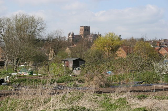
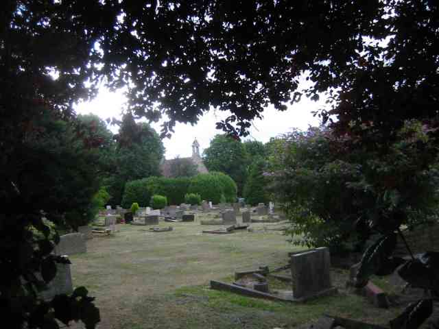
Camp, The, Hertfordshire is a historic site located in the county of Hertfordshire, England. Situated near the village of St Albans, this ancient monument holds significant cultural and archaeological importance. The Camp is an Iron Age hillfort, believed to have been constructed around 500 BC.
Covering an area of approximately 6.5 hectares, the Camp features impressive earthworks and defensive ramparts that encircle the site. These earthworks consist of deep ditches and high banks, providing evidence of the fortification's purpose as a defensive structure. The Camp's strategic location on a hilltop offers commanding views of the surrounding landscape, further enhancing its defensive capabilities.
Archaeological excavations at the Camp have revealed remnants of Iron Age pottery and other artifacts, shedding light on the lives of the people who once inhabited this hillfort. These findings suggest that the site was likely used as a settlement, possibly housing a small community during the Iron Age period.
Today, the Camp is a popular destination for visitors interested in history and archaeology. The site offers stunning panoramic views of the Hertfordshire countryside and provides an opportunity to explore the ancient earthworks. The Camp is managed by the local authorities and is open to the public, allowing visitors to immerse themselves in the rich history of this remarkable Iron Age fortification.
If you have any feedback on the listing, please let us know in the comments section below.
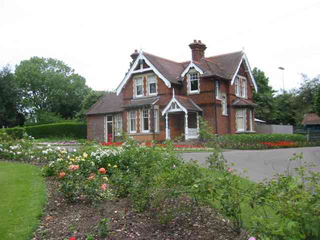
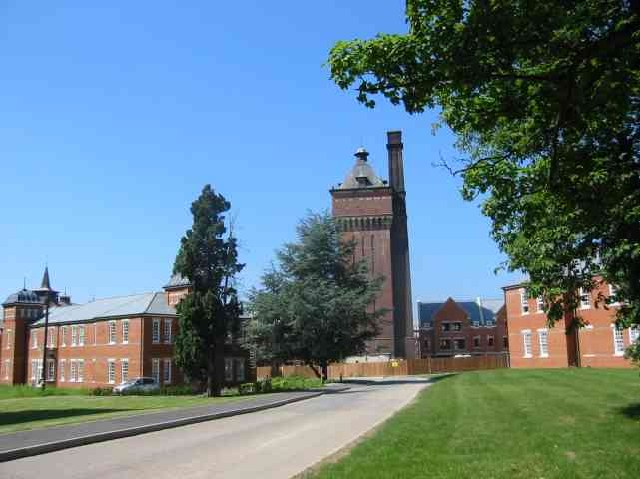
Camp, The Images
Images are sourced within 2km of 51.744063/-0.31328985 or Grid Reference TL1606. Thanks to Geograph Open Source API. All images are credited.


Camp, The is located at Grid Ref: TL1606 (Lat: 51.744063, Lng: -0.31328985)
Administrative County: Hertfordshire
District: St. Albans
Police Authority: Hertfordshire
What 3 Words
///stores.clever.fell. Near St Albans, Hertfordshire
Related Wikis
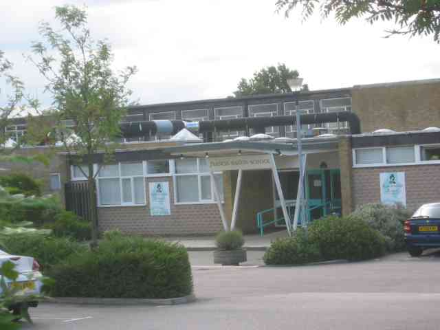
Samuel Ryder Academy
Samuel Ryder Academy (also known as SRA and formerly Francis Bacon School) is a mixed all-through school located in St Albans in South Hertfordshire, England...

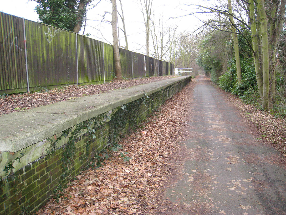
Salvation Army Halt railway station
Salvation Army Halt railway station was initially a private non-timetabled halt for the staff of Messrs Sander & Sons which had established an orchid-growing...

Campaign for Real Ale
The Campaign for Real Ale (CAMRA) is an independent voluntary consumer organisation headquartered in St Albans, England, which promotes real ale, cider...
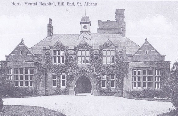
Hill End Hospital
Hill End Hospital was a mental health facility in St Albans in Hertfordshire, England. == History == The hospital, which was designed by George Thomas...
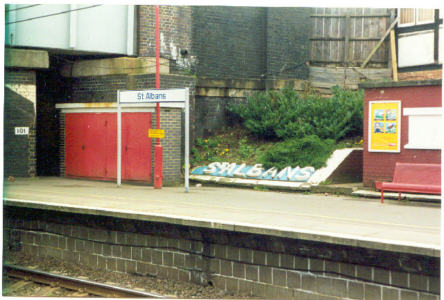
St Albans (London Road) railway station
St Albans London Road was one of three railway stations in St Albans, Hertfordshire. == History == The station was opened by the Hatfield and St Albans...
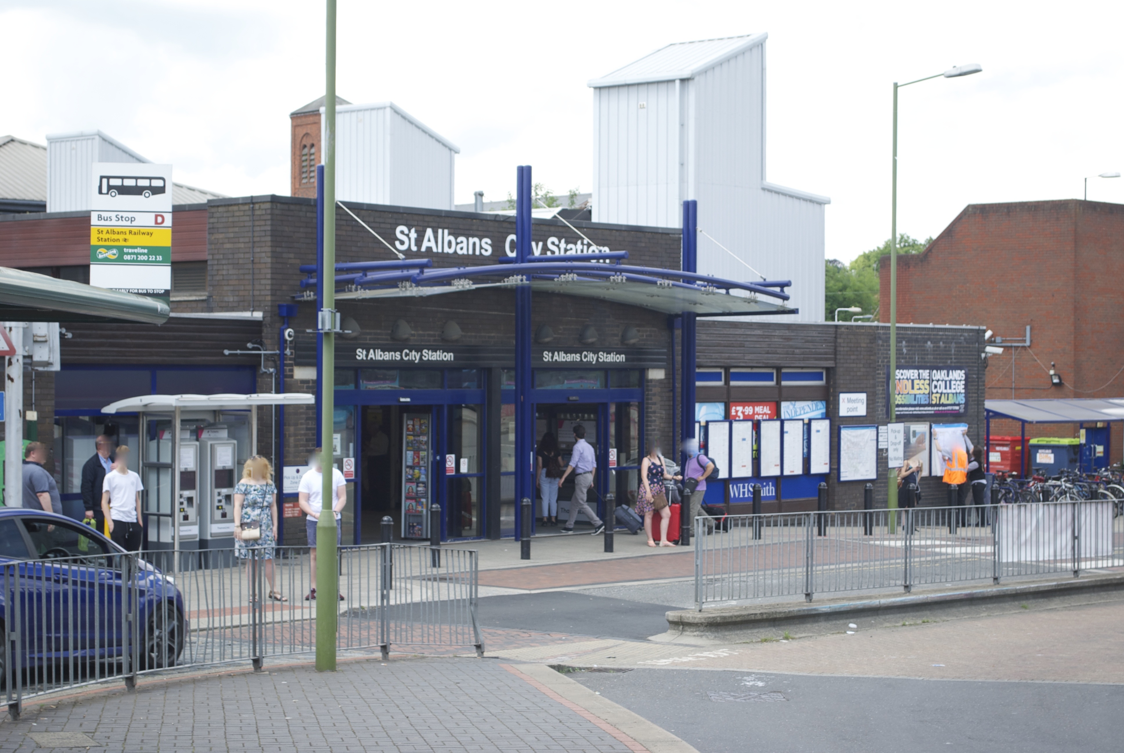
St Albans City railway station
St Albans City railway station, also known simply as St Albans, is one of two railway stations serving the city of St Albans in Hertfordshire, England...

Clarence Park (St Albans)
Clarence Park is a Victorian park used for sports and leisure in St Albans, England. It is still largely in its original form and has a rich variety of...
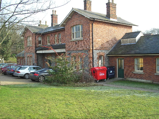
Hill End railway station
Hill End railway station was on the Great Northern Railway branch from Hatfield to St Albans in Hertfordshire, England. == History == The station, which...
Nearby Amenities
Located within 500m of 51.744063,-0.31328985Have you been to Camp, The?
Leave your review of Camp, The below (or comments, questions and feedback).