Camp, The

Settlement in Gloucestershire Stroud

England

Camp, The

Faint line of a footpath Heading eastwards from Bunnage towards Whiteway.
Faint line of a footpath Credit: Jonathan Billinger

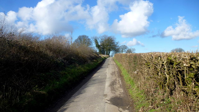
The Camp, Gloucestershire is a small village located in the southern part of England, within the Cotswolds Area of Outstanding Natural Beauty. Situated just 3 miles northwest of the town of Stroud, The Camp is nestled amidst picturesque rolling hills and lush green countryside. It is a serene and idyllic escape from the hustle and bustle of city life.

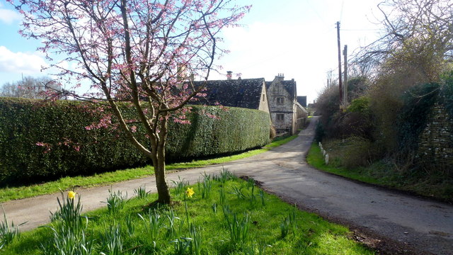
The village itself is characterized by its charming stone cottages and traditional architecture, which adds to its quaint and timeless appeal. The Camp is known for its strong sense of community, with a close-knit population that values its rural heritage. The village is home to a small but vibrant local economy, consisting of a few shops, a post office, and a cozy pub that serves as a popular meeting place for locals and visitors alike.

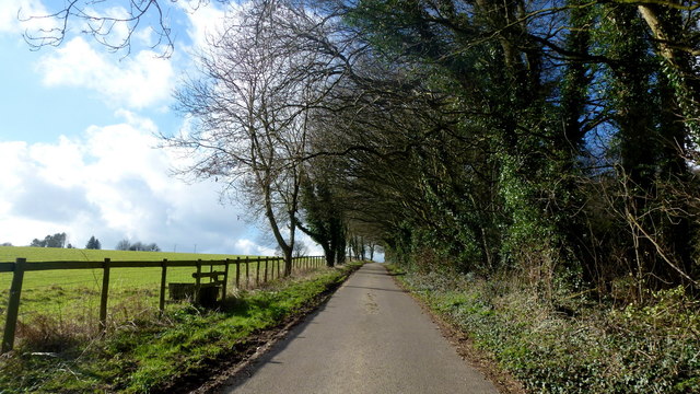
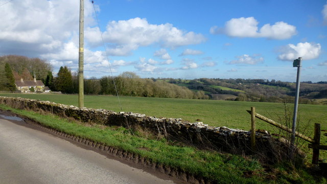
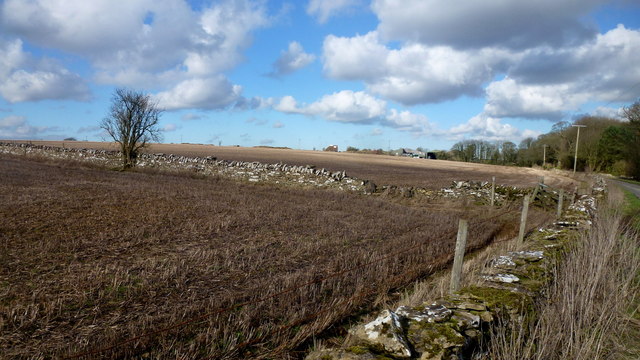
Surrounded by stunning natural beauty, The Camp offers ample opportunities for outdoor activities. The nearby rolling hills provide numerous walking and hiking trails, allowing visitors to explore the breathtaking landscapes and take in panoramic views. Additionally, the village is located in close proximity to several nature reserves and parks, providing nature enthusiasts with ample wildlife spotting opportunities.

Despite its small size, The Camp is well-connected to nearby towns and cities. The village benefits from good transport links, with regular bus services connecting it to Stroud and other neighboring towns. This makes it an ideal base for those looking to explore the wider Gloucestershire region, including the vibrant city of Gloucester and the historic town of Cheltenham.

In summary, The Camp, Gloucestershire is a charming and tranquil village that offers a peaceful retreat for both residents and visitors. With its stunning natural surroundings, strong community spirit, and convenient location, The Camp is a hidden gem in the heart of the Cotswolds.

If you have any feedback on the listing, please let us know in the comments section below.
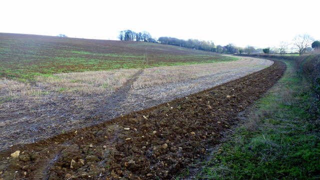
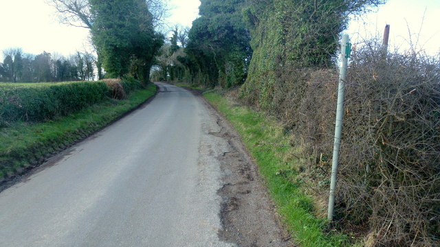
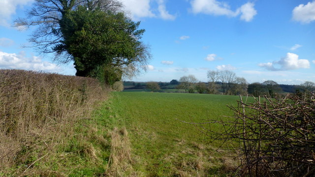
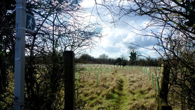
Camp, The Images

Images are sourced within 2km of 51.783152/-2.125363 or Grid Reference SO9109. Thanks to Geograph Open Source API. All images are credited.

Faint line of a footpath Heading eastwards from Bunnage towards Whiteway.
Faint line of a footpath
Heading eastwards from Bunnage towards Whiteway.
Lane to Bunnage Looking west from the footpath sign for this path; <a href="https://www.geograph.org.uk/photo/4865645">SO9009 : Faint line of a footpath</a>.
Lane to Bunnage
Looking west from the footpath sign for this path; SO9009 : Faint line of a footpath.
View to Hazle Manor Showing how waterlogged the ground is this late winter.
View to Hazle Manor
Showing how waterlogged the ground is this late winter.
The Calf Way Looking north from the crossroads near Hazle Manor.
The road leads to Birdlip and Gloucester.
Possibly an old drover's road.
The Calf Way
Looking north from the crossroads near Hazle Manor. The road leads to Birdlip and Gloucester. Possibly an old drover's road.
Substation near The Camp Viewed from the crossroads on the Calf way near Hazle Manor.
Substation near The Camp
Viewed from the crossroads on the Calf way near Hazle Manor.
Footpath east from Througham Lane Follows this field edge towards Honeycombe Farm over typical Cotswolds countryside.
Footpath east from Througham Lane
Follows this field edge towards Honeycombe Farm over typical Cotswolds countryside.
Footpath west from Througham Lane Passes through recently-planted woodland of the future.
Footpath west from Througham Lane
Passes through recently-planted woodland of the future.
Througham Lane Looking north towards The Camp.
Througham Lane
Looking north towards The Camp.
Upper Througham Farm Remnants of a pond by old farm buildings.
Upper Througham Farm
Remnants of a pond by old farm buildings.
Lanes at Througham Upper Througham Farm is to the left.
Lanes at Througham
Upper Througham Farm is to the left.
Minding his own business A ginger tom on a mid-afternoon constitutional tour around his estate.
Wild snowdrops in the bottom right of this picture.
Minding his own business
A ginger tom on a mid-afternoon constitutional tour around his estate. Wild snowdrops in the bottom right of this picture.
Througham A Cotswolds hamlet clustered around a fine stone house, Througham Court, seen ahead on the left.
The pink blossom is that of a winter-flowering cherry.
Througham
A Cotswolds hamlet clustered around a fine stone house, Througham Court, seen ahead on the left. The pink blossom is that of a winter-flowering cherry.
Dovecote gable at Througham Court An interesting historical feature on this Cotswolds building.
Dovecote gable at Througham Court
An interesting historical feature on this Cotswolds building.
Lane and stile Lane west from Througham with a short footpath heading diagonally across the field to the left.
Lane and stile
Lane west from Througham with a short footpath heading diagonally across the field to the left.
Short footpath to Througham The path leads across this field to the stile in <a href="https://www.geograph.org.uk/photo/4888965">SO9107 : Lane and stile</a>.
Short footpath to Througham
The path leads across this field to the stile in SO9107 : Lane and stile.
Cotswolds farmland Typical scene with stone walls to the west of Througham.
Cotswolds farmland
Typical scene with stone walls to the west of Througham.
Old Direction Sign - Signpost by Holbrook Cottage, Calf Way Ball finial - 3 arms; by the UC road, in parish of Bisley with Lypiatt (Stroud District), Calf Way.

To be surveyed

Milestone Society National ID: GL_SO9007
Old Direction Sign - Signpost by Holbrook Cottage, Calf Way
Ball finial - 3 arms; by the UC road, in parish of Bisley with Lypiatt (Stroud District), Calf Way. To be surveyed Milestone Society National ID: GL_SO9007
Footpath near Whiteway
Show me another place!

Camp, The is located at Grid Ref: SO9109 (Lat: 51.783152, Lng: -2.125363)

Administrative County: Gloucestershire

District: Stroud

Police Authority: Gloucestershire

What 3 Words

///lanes.surfer.ogre. Near Painswick, Gloucestershire

Nearby Locations

Camp, The The Camp

Related Wikis

Nearby Amenities

Located within 500m of 51.783152,-2.125363
The Camp
Place: hamlet
Wikidata: Q7721096
Wikipedia: en:The Camp, Gloucestershire
Lat/Long: 51.7827917/-2.1267998
The Camp Long Barrow
Archaeological Site: megalith
Historic: archaeological_site
Megalith Type: long_barrow
Source: NPE + local knowledge
Wikidata: Q17645976
Lat/Long: 51.7799607/-2.1263887
The Camp Crossroads
Naptan AtcoCode: 1600GL907
Naptan Bearing: S
Naptan BusStopType: CUS
Naptan CommonName: The Camp Crossroads
Naptan NaptanCode: glodmwap
Naptan Street: Calf Way
Naptan Verified: no
Source: naptan_import
Lat/Long: 51.7826183/-2.1267275
Bus Stop
The Camp Crossroads
Bus: yes
Naptan AtcoCode: 1600GL908
Naptan Bearing: N
Naptan CommonName: The Camp Crossroads
Naptan NaptanCode: glodmwam
Naptan Street: Calf Way
Naptan Verified: no
Public Transport: platform
Source: naptan_import
Lat/Long: 51.7826721/-2.1268581
Bus Stop
The Camp Crossroads
Bus: yes
Naptan AtcoCode: 1600GLS1151
Naptan Bearing: E
Naptan CommonName: The Camp Crossroads
Naptan NaptanCode: glogmatm
Naptan Street: Withybed Ln
Naptan Verified: no
Public Transport: platform
Source: naptan_import
Lat/Long: 51.7828335/-2.127279
Bus Stop
The Camp Crossroads
Bus: yes
Naptan AtcoCode: 1600GLS1152
Naptan Bearing: W
Naptan CommonName: The Camp Crossroads
Naptan NaptanCode: glogmatp
Naptan Street: Withybed Ln
Naptan Verified: no
Public Transport: platform
Source: naptan_import
Lat/Long: 51.7827795/-2.1272788
Wishanger Crossroads
Naptan AtcoCode: 1600GLS579
Naptan Bearing: SE
Naptan BusStopType: CUS
Naptan CommonName: Wishanger Crossroads
Naptan NaptanCode: glodmtpw
Naptan Street: Wishanger Ln
Naptan Verified: no
Source: naptan_import
Lat/Long: 51.7862926/-2.1294362
Bus Stop
Wishanger Crossroads
Bus: yes
Naptan AtcoCode: 1600GLS580
Naptan Bearing: NW
Naptan CommonName: Wishanger Crossroads
Naptan NaptanCode: glodmtwa
Naptan Street: Wishanger Ln
Naptan Verified: no
Public Transport: platform
Source: naptan_import
Lat/Long: 51.7860506/-2.1288538
Wishanger Cross
Is In: Gloucestershire, England, UK
Place: locality
Lat/Long: 51.7866315/-2.129697
Camp Cross
Is In: Gloucestershire, England, UK
Place: locality
Lat/Long: 51.7831377/-2.1275255
Wishanger
Is In: Gloucestershire, England, UK
Place: hamlet
Source: NPE
Lat/Long: 51.7832842/-2.1193264
Withy Bed Farm
Landuse: farmyard
Source: NPE
Lat/Long: 51.7845077/-2.1322891
Post Box
Collection Times: Mo-Fr 16:00; Sa 09:30; Su off
Drive Through: no
Operator: Royal Mail
Operator Wikidata: Q638098
Post Box Type: wall
Ref: GL6 82
Royal Cypher: EVIIR
Royal Cypher Wikidata: Q33102324
Source: survey
Lat/Long: 51.782642/-2.1266566
Power: pole
Lat/Long: 51.781887/-2.1306344
Power: pole
Lat/Long: 51.7862885/-2.1301283
Power: pole
Lat/Long: 51.7844265/-2.1305377
Power: pole
Lat/Long: 51.7859442/-2.1293571
Power: pole
Lat/Long: 51.7862354/-2.1301645
Power: pole
Lat/Long: 51.7853685/-2.1304756
Power: pole
Lat/Long: 51.7857722/-2.1285958
Power: pole
Lat/Long: 51.782657/-2.1306237
Power: pole
Lat/Long: 51.7856237/-2.1288519
Power: pole
Lat/Long: 51.7803306/-2.1303259
Power: pole
Lat/Long: 51.7865437/-2.1299919
Power: pole
Lat/Long: 51.7835106/-2.1306074
Power: transformer
Lat/Long: 51.786437/-2.1303308
Power: pole
Lat/Long: 51.7861098/-2.1293589
Power: pole
Lat/Long: 51.7849205/-2.1277625
Power: pole
Lat/Long: 51.7852487/-2.1273204
Power: pole
Lat/Long: 51.7862777/-2.1304273
Power: pole
Lat/Long: 51.7835156/-2.1255314
Power: pole
Lat/Long: 51.7841909/-2.1247857
Power: pole
Lat/Long: 51.7847236/-2.1260491
Power: pole
Lat/Long: 51.7800259/-2.1261228
Power: pole
Lat/Long: 51.7822529/-2.1257513
Power: pole
Lat/Long: 51.7806524/-2.1260129
Power: pole
Lat/Long: 51.7813494/-2.1259029
Power: pole
Lat/Long: 51.7827324/-2.1256642
Power: pole
Lat/Long: 51.7793274/-2.1262355
Power: pole
Lat/Long: 51.784225/-2.1266593
Power: pole
Lat/Long: 51.7826835/-2.1211823
Power: pole
Lat/Long: 51.7821558/-2.1198679
Power: transformer
Lat/Long: 51.7816198/-2.1185992
Power: pole
Lat/Long: 51.7831447/-2.1222767
Power: pole
Lat/Long: 51.7836742/-2.1235024
Direction: 10
Historic: memorial
Inscription: To commemorate the Golden Jubilee of Her Majesty Queen Elizabeth II 1952-2002 in the village of Camp
Memorial: plaque
Lat/Long: 51.7826458/-2.126597
Defibrillator
Access: yes
Booth: K6
Covered: booth
Defibrillator Location: inside disused red phone booth in The Camp
Disused Amenity: telephone
Emergency: defibrillator
Indoor: no
Man Made: telephone_box
Operator: Community Heartbeat
Ref: CHT-14-1404
Source: survey
Lat/Long: 51.7825667/-2.1262668
The data included in this document is from www.openstreetmap.org. The data is made available under ODbL.

Have you been to Camp, The?

Leave your review of Camp, The below (or comments, questions and feedback).