Bryn, The

Settlement in Monmouthshire

Wales

Bryn, The

Access bridge over A40 at Penpergwn
Access bridge over A40 at Penpergwn Credit: David Smith

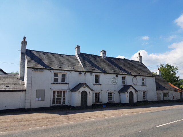
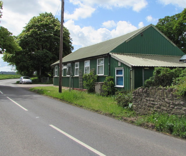
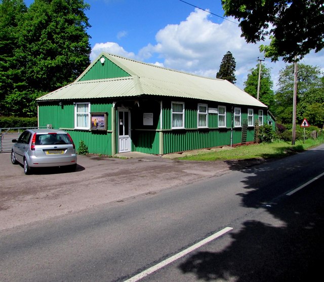
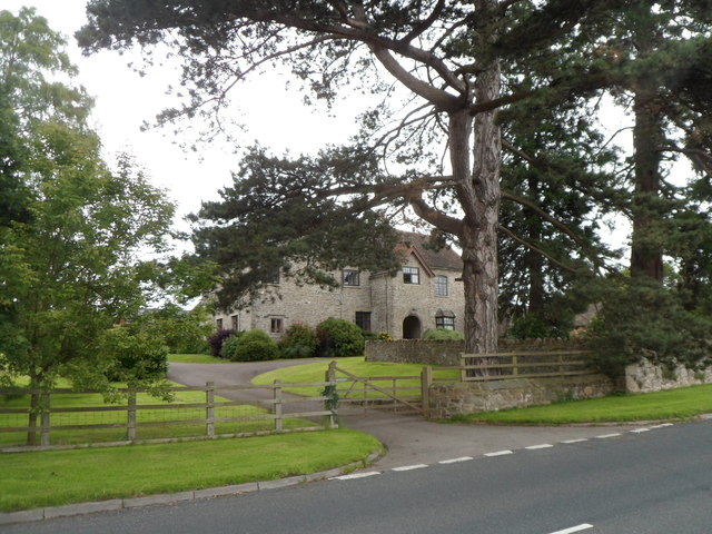
Bryn, The, Monmouthshire is a small village located in the county of Monmouthshire, Wales. Situated in the southeastern part of the country, Bryn is surrounded by picturesque landscapes and offers a peaceful and close-knit community for its residents.

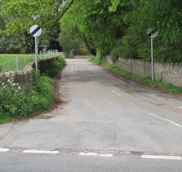
The village is nestled in the rolling hills of Monmouthshire, providing stunning views of the surrounding countryside. It is positioned near the border with England, making it easily accessible for visitors coming from both countries.

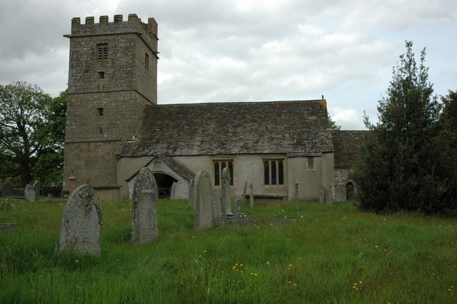
Although Bryn is relatively small in size, it boasts a rich history that is reflected in its architecture and landmarks. The village features several well-preserved historic buildings, including a charming church that dates back to the medieval period. This historical character adds to the unique charm and appeal of Bryn.

The community in Bryn is known for its friendly and welcoming nature. The locals take great pride in their village and actively participate in various community events and activities. This strong sense of community fosters a warm and inclusive atmosphere for both residents and visitors alike.

Bryn also benefits from its proximity to natural attractions and outdoor recreational opportunities. The surrounding countryside offers ample opportunities for hiking, cycling, and exploring the nearby woodlands and nature reserves.

Overall, Bryn, The, Monmouthshire is a quaint and picturesque village that offers a peaceful and friendly environment for its residents. Its rich history, beautiful landscapes, and strong sense of community make it a delightful place to visit or call home.

If you have any feedback on the listing, please let us know in the comments section below.
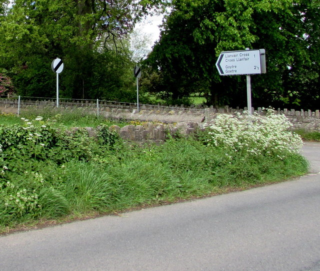
Bryn, The Images

Images are sourced within 2km of 51.775641/-2.9724945 or Grid Reference SO3309. Thanks to Geograph Open Source API. All images are credited.

Access bridge over A40 at Penpergwn
The King of Prussia, Penpergwm The King of Prussia Public House lies on the southern side of the B4598 in the village of Penpergwm. 
It is shown on the 1881 edition of the Ordnance Survey map.
Like many rural pubs it has suffered from loss of trade and has been closed for years.
It sits in front of a plant hire company who have sought permission to demolish it.
The local council are questioning some details, but it seems its fate is sealed.
The King of Prussia, Penpergwm
The King of Prussia Public House lies on the southern side of the B4598 in the village of Penpergwm. It is shown on the 1881 edition of the Ordnance Survey map. Like many rural pubs it has suffered from loss of trade and has been closed for years. It sits in front of a plant hire company who have sought permission to demolish it. The local council are questioning some details, but it seems its fate is sealed.
Pant-y-goffry A farm in the middle of nowhere! Actually, Monmouthshire.
Pant-y-goffry
A farm in the middle of nowhere! Actually, Monmouthshire.
Llanfair Kilgeddin Village Hall Corrugated metal building on the west side of the B4598 in rural Monmouthshire between Usk and Abergavenny.
<a title="https://www.geograph.org.uk/photo/5390430" href="https://www.geograph.org.uk/photo/5390430">Link</a> to another view of the hall.
Llanfair Kilgeddin Village Hall
Corrugated metal building on the west side of the B4598 in rural Monmouthshire between Usk and Abergavenny. Link to another view of the hall.
Llanfair Kilgeddin Village Hall Corrugated metal building on the west side of the B4598 in rural Monmouthshire between Usk and Abergavenny.
<a title="https://www.geograph.org.uk/photo/5390425" href="https://www.geograph.org.uk/photo/5390425">Link</a> to another view of the hall.
Llanfair Kilgeddin Village Hall
Corrugated metal building on the west side of the B4598 in rural Monmouthshire between Usk and Abergavenny. Link to another view of the hall.
Minor road west from Llanfair Kilgeddin, Monmouthshire Viewed across the B4598. A nearby sign <a title="https://www.geograph.org.uk/photo/5390440" href="https://www.geograph.org.uk/photo/5390440">Link</a> pointing this way shows Llanvair Cross 1 (mile), Goytre 2½.
The 50mph speed limit increases to the National Speed Limit ahead.
Minor road west from Llanfair Kilgeddin, Monmouthshire
Viewed across the B4598. A nearby sign Link pointing this way shows Llanvair Cross 1 (mile), Goytre 2½. The 50mph speed limit increases to the National Speed Limit ahead.
Direction and distances sign, Llanfair Kilgeddin, Monmouthshire Facing northbound traffic on the B4598 on the corner of this <a title="https://www.geograph.org.uk/photo/5390433" href="https://www.geograph.org.uk/photo/5390433">Link</a> minor road junction.
Direction and distances sign, Llanfair Kilgeddin, Monmouthshire
Facing northbound traffic on the B4598 on the corner of this Link minor road junction.
End of the National Speed Limit, Llanfair Kilgeddin, Monmouthshire The National Speed Limit on the minor road from Llanvair Cross
and Goytre drops to 50mph on the approach to the B4598 junction.
End of the National Speed Limit, Llanfair Kilgeddin, Monmouthshire
The National Speed Limit on the minor road from Llanvair Cross and Goytre drops to 50mph on the approach to the B4598 junction.
Grade II Listed Pant-y-Goitre House, Llanfair Kilgeddin, Monmouthshire Built in c1726 with later major changes. Grade II listed in 1956.
Grade II Listed Pant-y-Goitre House, Llanfair Kilgeddin, Monmouthshire
Built in c1726 with later major changes. Grade II listed in 1956.
Llanover park The parkland in the Llanover estate
Llanover park
The parkland in the Llanover estate
Hiking through the park On the Llanover Estate
Hiking through the park
On the Llanover Estate
Cottages on the Llanover Estate At Ty Uchaf
Cottages on the Llanover Estate
At Ty Uchaf
Ty Uchaf Llanover House. Grade II listed.
Ty Uchaf
Llanover House. Grade II listed.
Trees on the Llanover Estate Just north of the main house
Trees on the Llanover Estate
Just north of the main house
Footpath through the woodland On the Llanover Estate
Footpath through the woodland
On the Llanover Estate
A large oak tree On the Llanover Estate
A large oak tree
On the Llanover Estate
Hen Bersondy On the Llanover Estate
Hen Bersondy
On the Llanover Estate
St Bartholomew's Church, Llanover Grade II* listed. The nave, could in origin, be Norman, as it has a south door with the possibility of a north door opposite, now included in the Perpendicular window which is placed rather oddly in the north wall. The nave seems likely to be older than the chancel which appears in origin to be early C14. The tower is probably early C16. The porch is an addition of 1750 (dated). The church had a minor Victorian restoration of unknown date and little has been changed since. The village school was held in the tower until 1835.
St Bartholomew's Church, Llanover
Grade II* listed. The nave, could in origin, be Norman, as it has a south door with the possibility of a north door opposite, now included in the Perpendicular window which is placed rather oddly in the north wall. The nave seems likely to be older than the chancel which appears in origin to be early C14. The tower is probably early C16. The porch is an addition of 1750 (dated). The church had a minor Victorian restoration of unknown date and little has been changed since. The village school was held in the tower until 1835.
Show me another place!

Bryn, The is located at Grid Ref: SO3309 (Lat: 51.775641, Lng: -2.9724945)

Unitary Authority: Monmouthshire

Police Authority: Gwent

Also known as: Bryn

What 3 Words

///clings.compiler.cleanest. Near Llanarth, Monmouthshire

Related Wikis

St Cadoc's Church, Llangattock-juxta-Usk

The Church of St Cadoc, Llangattock-Juxta-Usk, Monmouthshire is a parish church with its datable origins in the 15th century. The church was restored in...

The Bryn

The Bryn, or Llangattock Nigh Usk (Welsh: Llangatwg Dyffryn Wysg), is a small village on the left bank of the River Usk in Monmouthshire, southeast Wales...

Penpergwm railway station

Penpergwm railway station was a former station which served the Monmouthshire, Wales, village of Penpergwm, although the community adjacent to the station...

Penpergwm

Penpergwm is a village in south Wales, situated along the A40 road, 3.9 miles (6.3 km) south-east of Abergavenny and 14 miles (23 km) west of Monmouth...

Llanover

Llanover (; Welsh: Llanofer) Welsh pronunciation: [ɬaˈnɔvɛr] is a village in the community of Goetre Fawr in Monmouthshire, Wales. == Name == The name...

St Bartholomew's Church, Llanover

The Church of St Bartholomew, Llanover, Monmouthshire is a parish church with its origins in the period following the Norman Conquest. The nave appears...

Llangattock Court

Llangattock Court, Penpergwm, Monmouthshire, Wales, is a country house of late-medieval origins. Cadw gives a date for original building of 1490-1520....
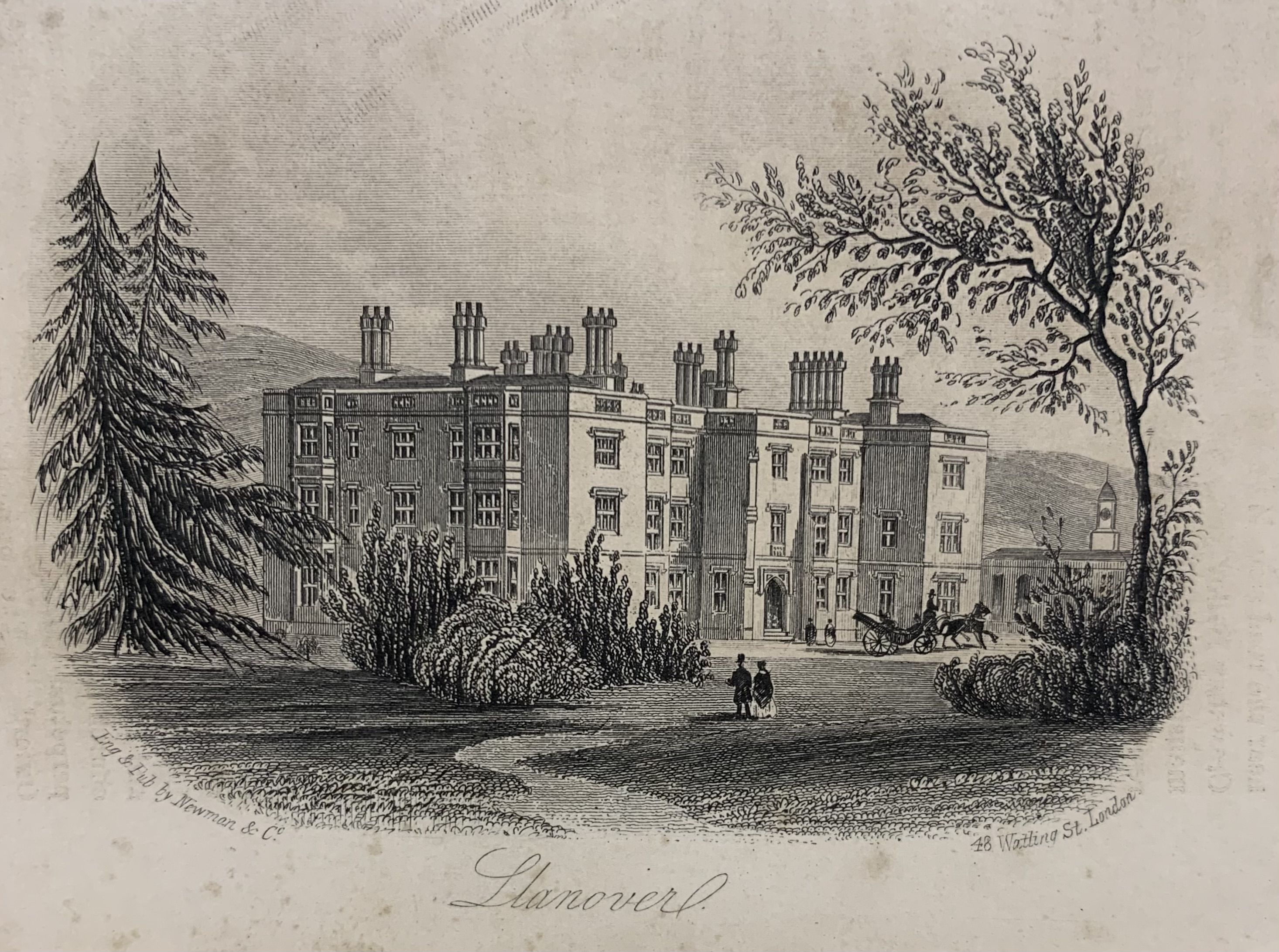
Llanover House

Llanover House, Llanover, Monmouthshire, Wales, was a country house dating from the mid-19th century. Commissioned by Augusta Waddington, and her husband...

Nearby Amenities

Located within 500m of 51.775641,-2.9724945
Barrier: cattle_grid
Lat/Long: 51.772617/-2.976118
Barrier: cattle_grid
Lat/Long: 51.774982/-2.9711746
Barrier: cattle_grid
Lat/Long: 51.7755861/-2.9681893
Barrier: stile
Source: survey;gps
Lat/Long: 51.7793668/-2.9723697
The data included in this document is from www.openstreetmap.org. The data is made available under ODbL.

Have you been to Bryn, The?

Leave your review of Bryn, The below (or comments, questions and feedback).