Blythe, The
Settlement in Staffordshire Stafford
England
Blythe, The
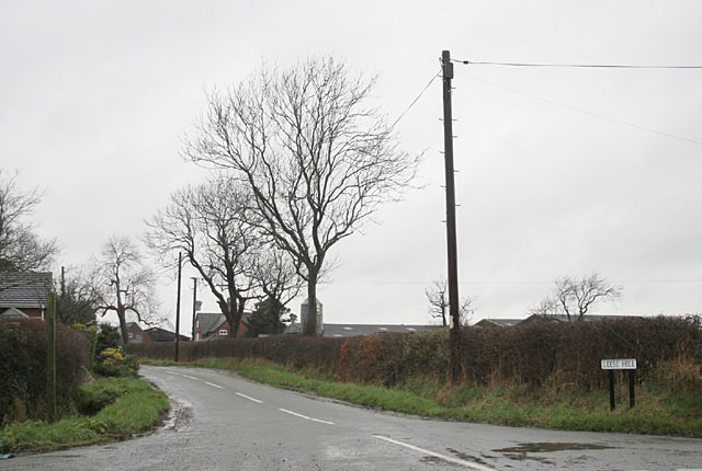
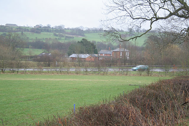
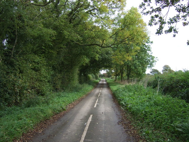
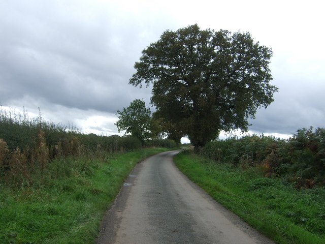
Blythe, The, Staffordshire, also known simply as Blythe, is a civil parish and village located in the county of Staffordshire, England. It lies approximately 14 miles east of the city of Stoke-on-Trent and 4 miles west of Uttoxeter. Blythe is situated in the East Staffordshire district and falls within the Staffordshire Moorlands parliamentary constituency.
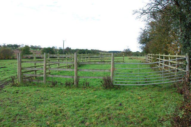
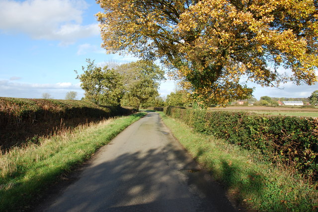
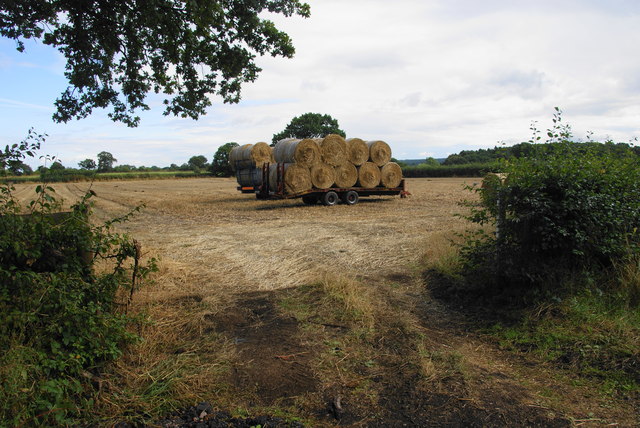
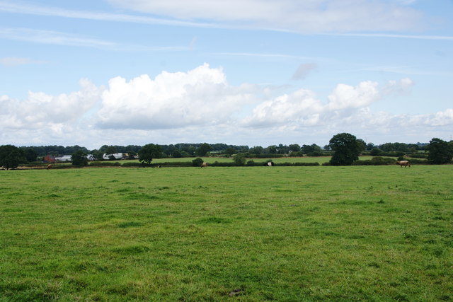
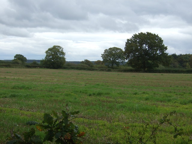
The village of Blythe is relatively small, with a population of around 1,000 residents. It is surrounded by picturesque countryside, offering a tranquil rural setting for its inhabitants. The landscape is characterized by rolling hills, meadows, and farmland, providing opportunities for outdoor activities such as walking, cycling, and horse riding.
Blythe has a rich history, with evidence of human activity in the area dating back to the Bronze Age. The village itself has a number of historic buildings, including the Church of St. Giles, which dates back to the 13th century. The church features a Norman chancel arch and contains several notable monuments and stained glass windows.
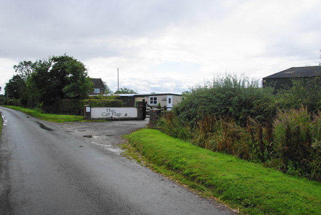
In terms of amenities, Blythe offers a range of local services to its residents. These include a primary school, a village hall, a community center, and a post office. There are also several pubs and small businesses in the village, providing opportunities for socializing and shopping locally.
Overall, Blythe, The, Staffordshire is a charming village with a close-knit community and a strong sense of history. Its idyllic location and range of amenities make it an attractive place to live for those seeking a peaceful and rural lifestyle.
If you have any feedback on the listing, please let us know in the comments section below.
Blythe, The Images
Images are sourced within 2km of 52.854543/-1.9326407 or Grid Reference SK0428. Thanks to Geograph Open Source API. All images are credited.


Blythe, The is located at Grid Ref: SK0428 (Lat: 52.854543, Lng: -1.9326407)
Administrative County: Staffordshire
District: Stafford
Police Authority: Staffordshire
What 3 Words
///rental.laws.fermented. Near Abbots Bromley, Staffordshire
Nearby Locations
Related Wikis

Grindley railway station
Grindley railway station was a former British railway station to serve the village of Grindley in Staffordshire. It was opened by the Stafford and Uttoxeter...

Kingstone, Staffordshire
Kingstone is a village and civil parish within the English county of Staffordshire. == Population == The 2011 census recorded a population of 629 in 249...

Chartley Moss
Chartley Moss is a 105.80 hectare biological Site of Special Scientific Interest in Staffordshire, notified in 1987. The area has been designated as an...

Bagot's Wood
Bagot's Wood is the largest extant piece of the ancient Needwood Forest, located near to Abbots Bromley, in Staffordshire, England. The forest derives...

Gratwich
Gratwich is a village and former civil parish, now in the parish of Kingstone, in the East Staffordshire district, in the county of Staffordshire, England...
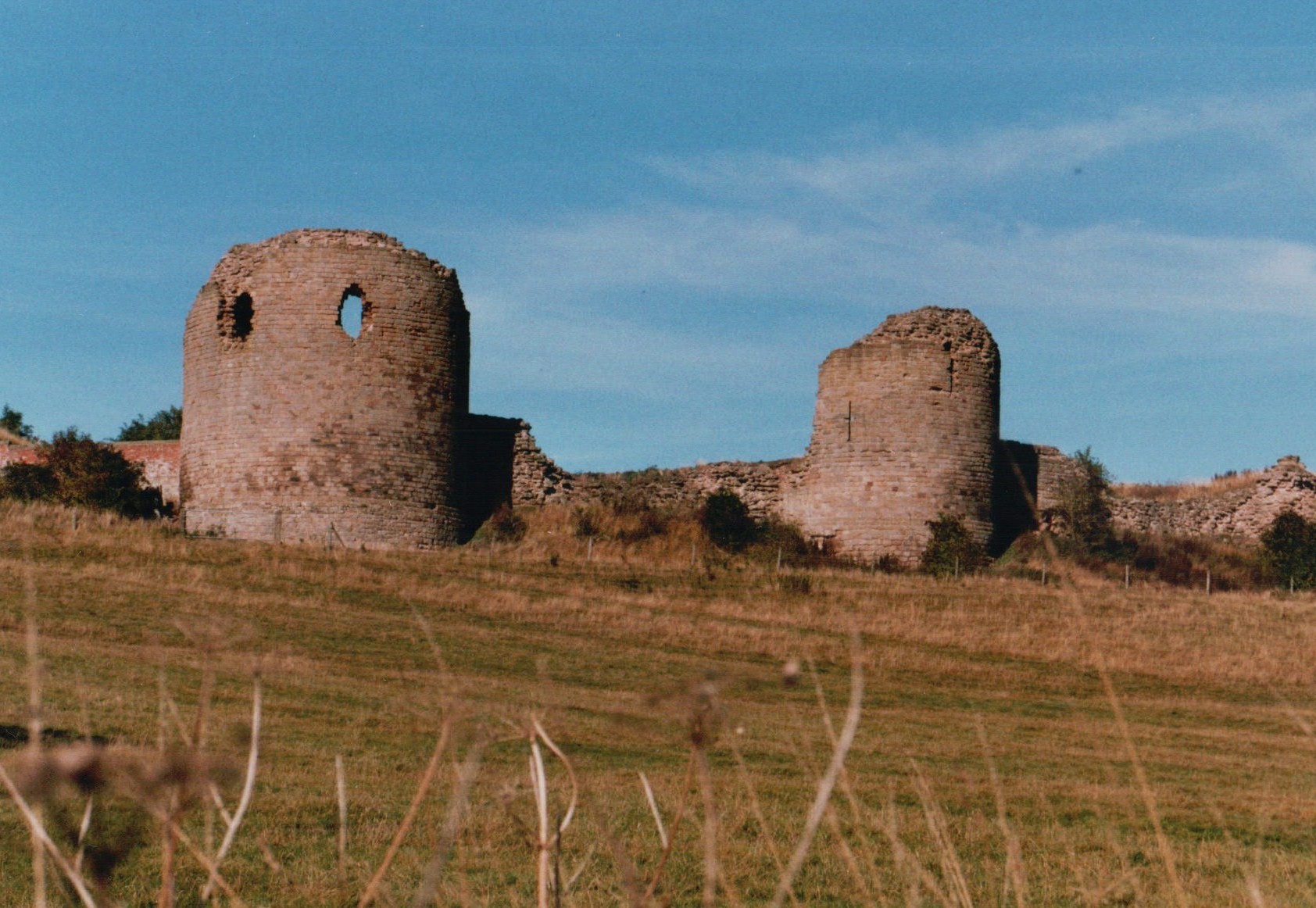
Chartley Castle
Chartley Castle lies in ruins to the north of the village of Stowe-by-Chartley in Staffordshire, between Stafford and Uttoxeter (grid reference SK010285...
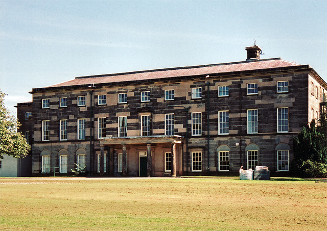
Loxley Hall
Loxley Hall is an early-19th-century country house near Uttoxeter, Staffordshire, now occupied by a Staffordshire County Council special school for boys...

Chartley railway station
Chartley railway station was a former British railway station to serve the village of Stowe-by-Chartley in Staffordshire. It was opened by the Stafford...
Nearby Amenities
Located within 500m of 52.854543,-1.9326407Have you been to Blythe, The?
Leave your review of Blythe, The below (or comments, questions and feedback).