Banks, The
Settlement in Derbyshire
England
Banks, The
The Banks, located in Derbyshire, England, is a picturesque village nestled amidst the rolling hills of the Peak District National Park. With a population of around 2,000 residents, it offers a tranquil and idyllic escape from the hustle and bustle of city life.
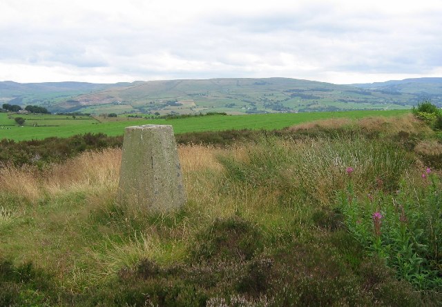
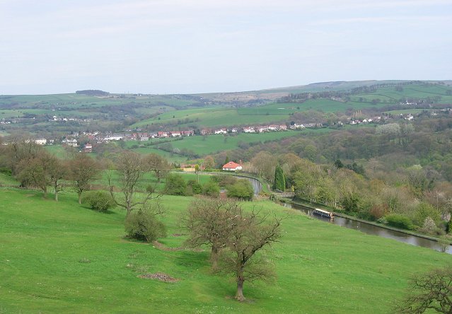
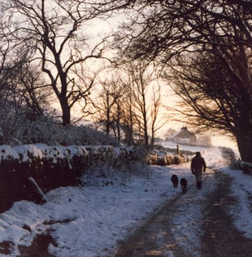
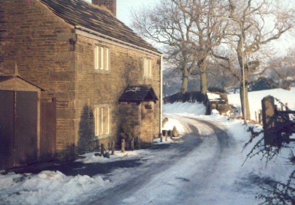
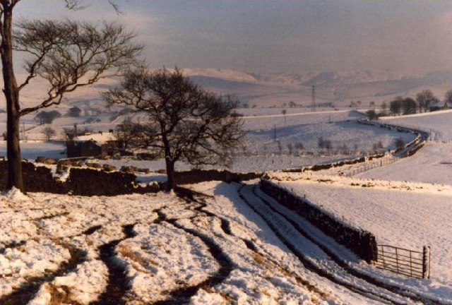
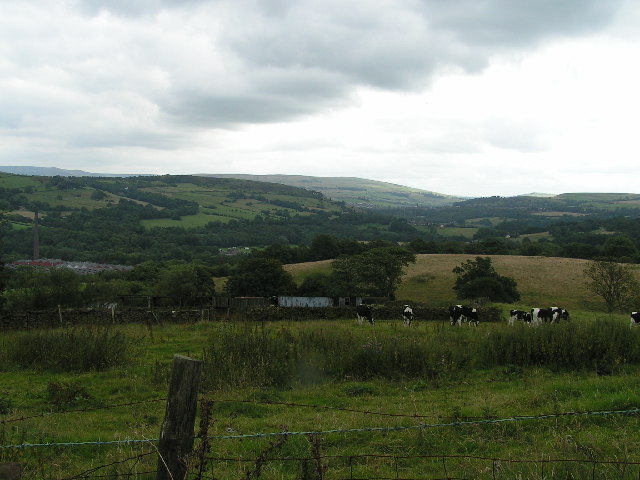
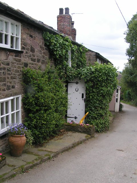
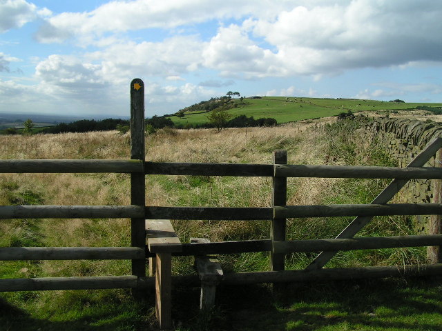
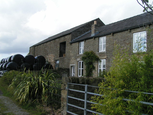
The village is characterized by its charming stone cottages and narrow, winding streets that evoke a sense of old-world charm. Surrounded by stunning natural beauty, it attracts nature enthusiasts and outdoor lovers alike. The nearby countryside offers a plethora of walking and cycling trails, with the famous Derwent Valley Heritage Way passing through the village.
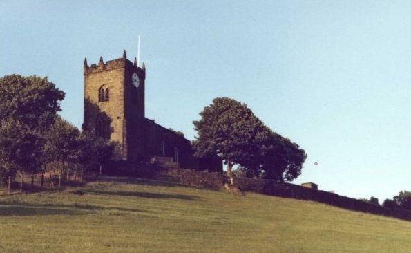
Banks is also rich in history, with several notable landmarks and attractions. The historic St. John the Baptist Church, dating back to the 12th century, stands as a testament to the village's heritage. The Banks Mill, a former corn mill, has been converted into an art gallery and studio, showcasing the work of local artists.
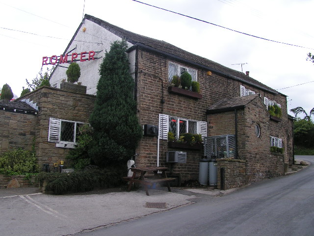
In terms of amenities, the village boasts a range of facilities, including a primary school, a post office, and a few shops and pubs. It also hosts various community events throughout the year, such as the annual Banks Summer Fair, which brings locals and visitors together.
Overall, Banks, Derbyshire, is a charming and welcoming village that offers a serene and picturesque retreat for visitors seeking a slice of rural English life. With its stunning landscapes, rich history, and strong sense of community, it is a hidden gem within the heart of the Peak District.
If you have any feedback on the listing, please let us know in the comments section below.
Banks, The Images
Images are sourced within 2km of 53.382713/-2.030787 or Grid Reference SJ9887. Thanks to Geograph Open Source API. All images are credited.

Banks, The is located at Grid Ref: SJ9887 (Lat: 53.382713, Lng: -2.030787)
Unitary Authority: Stockport
Police Authority: Greater Manchester
What 3 Words
///monitors.attracts.breathing. Near Marple, Manchester
Nearby Locations
Related Wikis
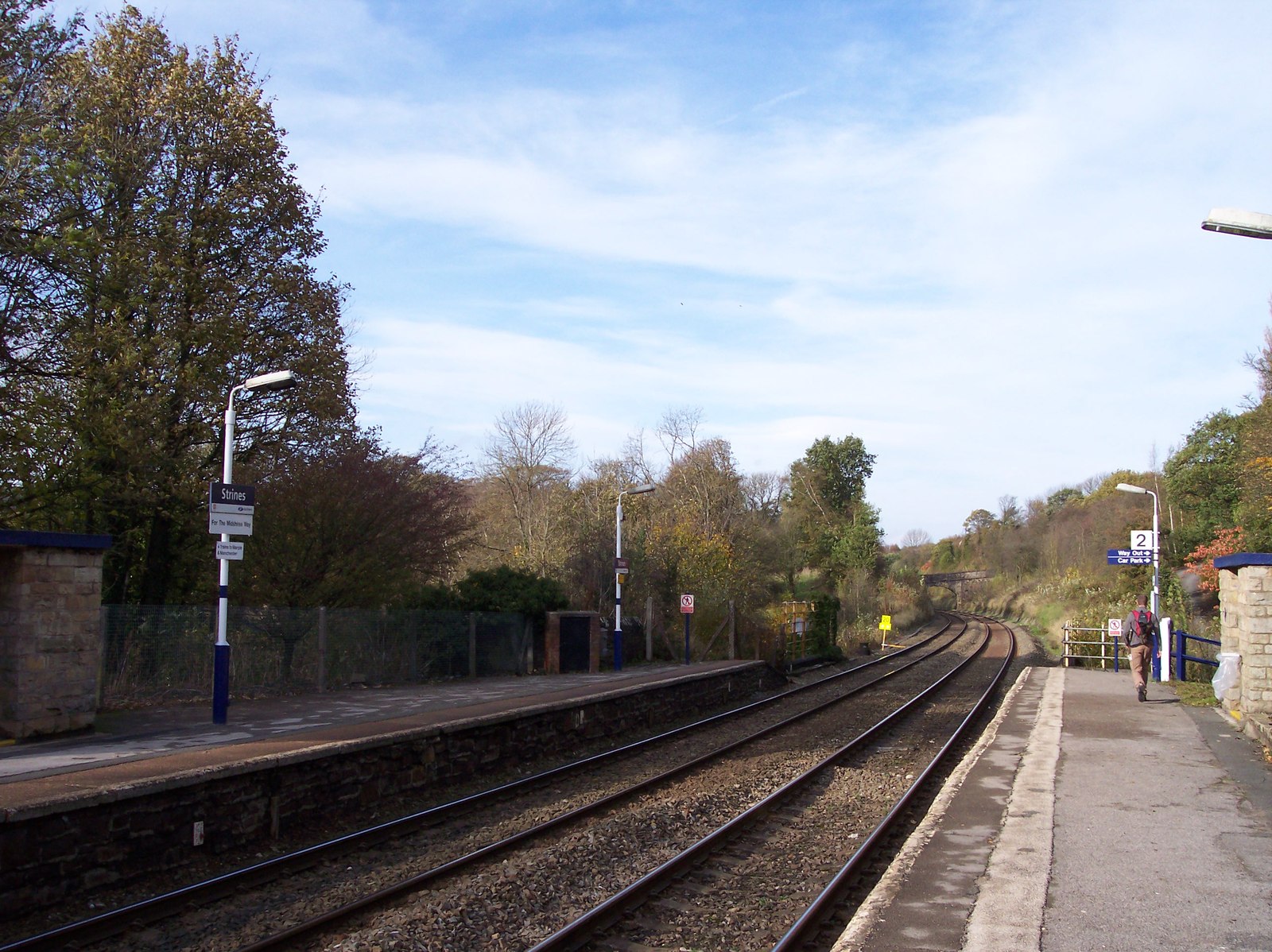
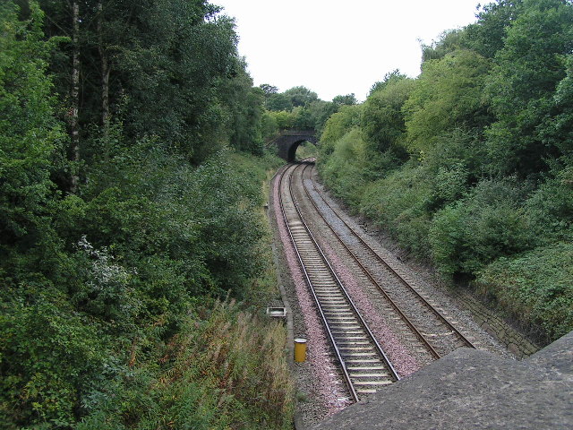
Strines railway station
Strines railway station serves the village of Strines, in the Metropolitan Borough of Stockport, on the outskirts of Greater Manchester, England. Until...
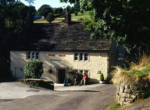
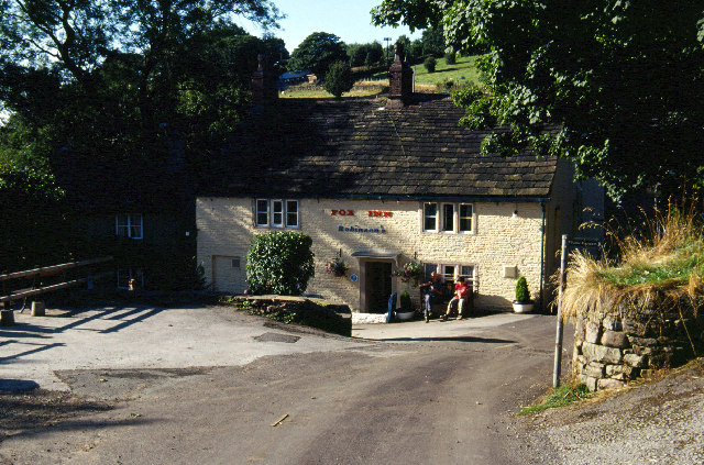
Brookbottom
Brookbottom is a hamlet about a mile outside New Mills in the High Peak borough of Derbyshire, England. It has one pub, the Fox Inn, one phone box but...

Mellor Mill
Mellor Mill, also known as Bottom's Mill, was a six-story cotton mill in Marple, Greater Manchester built by Samuel Oldknow in 1793. This was a six-storey...

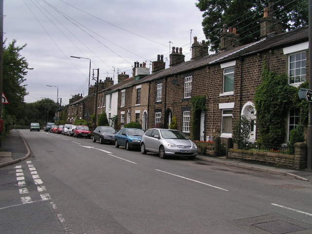
Strines
Strines is a village in Greater Manchester, in the valley of the River Goyt. It is located midway between Marple and New Mills, about six miles south-east...
Nearby Amenities
Located within 500m of 53.382713,-2.030787Have you been to Banks, The?
Leave your review of Banks, The below (or comments, questions and feedback).