Temple Ewell

Settlement in Kent Dover

England

Temple Ewell

Kepple Downe, London Road A house destined to be demolished.
Kepple Downe, London Road Credit: John Baker

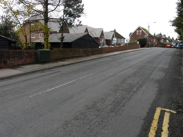
Temple Ewell is a charming village located in the county of Kent, England. Situated just two miles west of the historic seaside town of Dover, Temple Ewell is nestled within the picturesque countryside, offering stunning views of the Kent Downs.

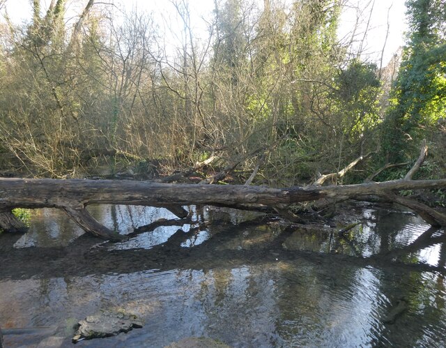
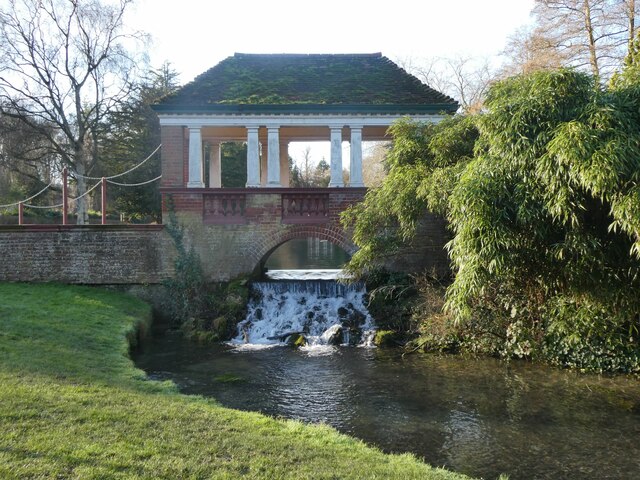
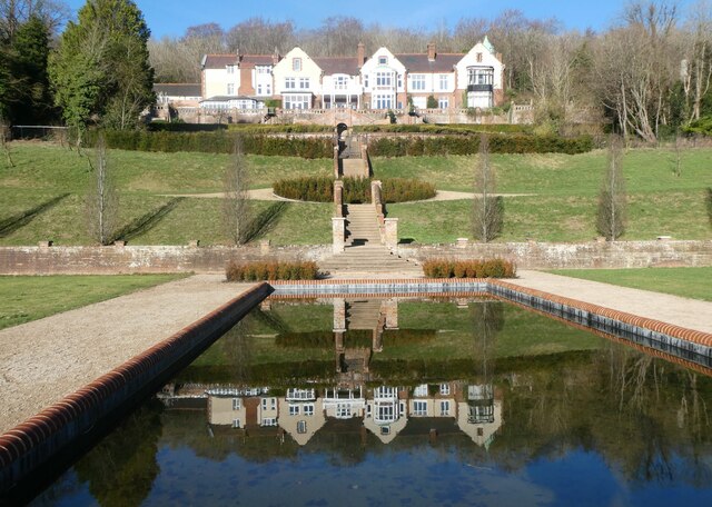
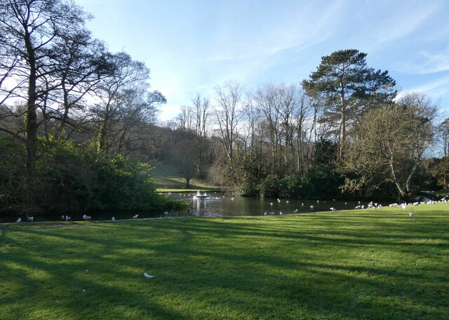
The village is known for its tranquility and natural beauty, with rolling hills and meandering streams that add to its charm. It is home to a close-knit community that takes pride in preserving its rich heritage and preserving the village's unique character.

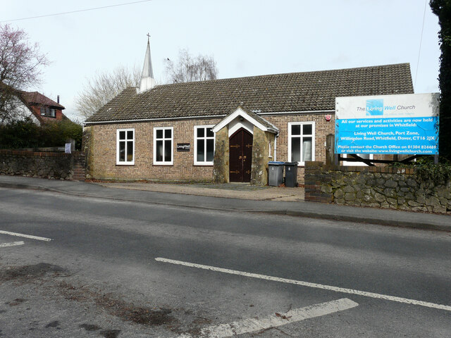
One of the main attractions in Temple Ewell is the ancient Norman church, St. Peter and St. Paul's. This historic church is a testament to the village's long and illustrious past, with its intricate architecture and stained glass windows dating back centuries.

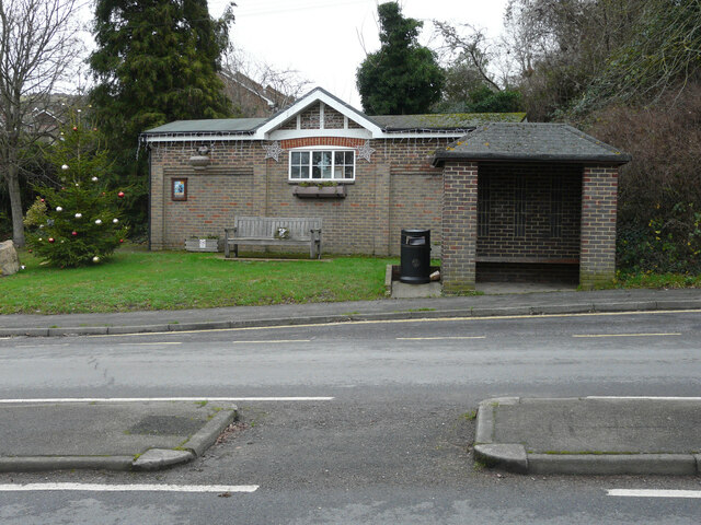
Temple Ewell also boasts a range of amenities, including a well-regarded primary school, a local pub, and a village hall that hosts various community events. The village is also close to a number of shops, restaurants, and leisure facilities in nearby Dover.

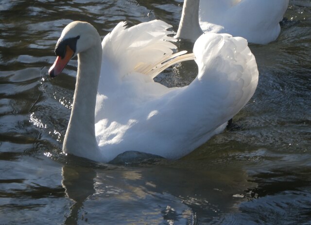
For outdoor enthusiasts, Temple Ewell offers an abundance of recreational activities. The village is surrounded by scenic walking trails, perfect for exploring the stunning countryside. Additionally, the nearby River Dour provides opportunities for fishing and boating.

In conclusion, Temple Ewell is a peaceful and idyllic village in the heart of Kent. With its rich history, natural beauty, and strong community spirit, it is a place that offers a high quality of life for its residents and attracts visitors seeking a taste of rural England.

If you have any feedback on the listing, please let us know in the comments section below.
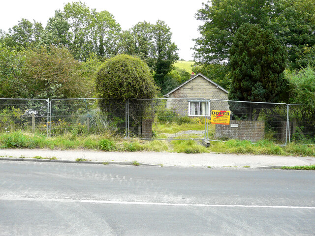
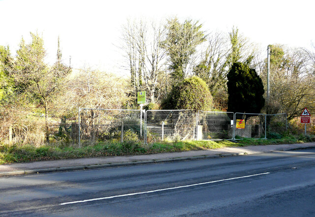
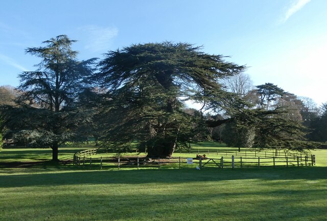
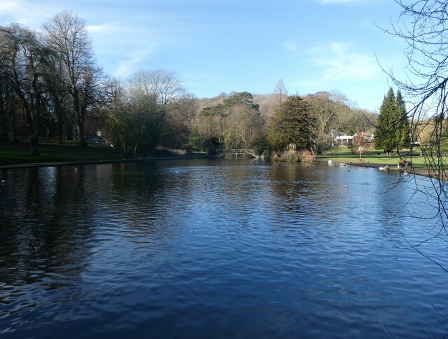
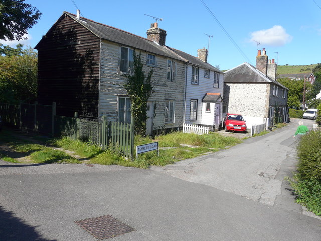
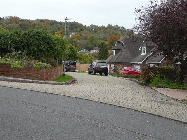
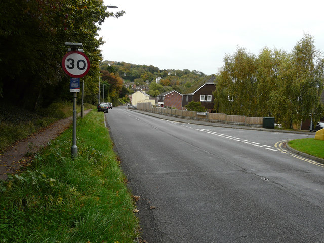
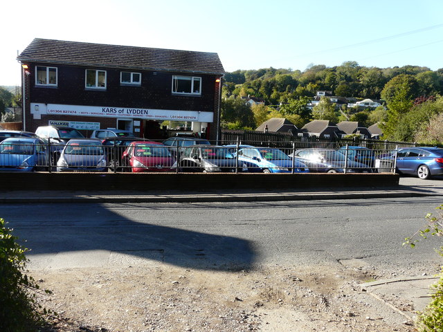
Temple Ewell Images

Images are sourced within 2km of 51.152872/1.269826 or Grid Reference TR2844. Thanks to Geograph Open Source API. All images are credited.

Kepple Downe, London Road A house destined to be demolished.
Kepple Downe, London Road
A house destined to be demolished.
Vacant plot, London Road The plot is for sale through the estate agents Thomas & partners of Dover. It was the location of <a href="https://www.geograph.org.uk/photo/6943975">TR2744 : Kepple Downe, London Road</a>, until the house was demolished.

Planning permission has been granted by Dover District Council under application number DOV/21/01728 for the “erection of a detached dwelling, solar panel to roof slope, car port, cycle store, turning area, new vehicular access, associated parking and landscaping (existing dwelling to be demolished)”.
Vacant plot, London Road
The plot is for sale through the estate agents Thomas & partners of Dover. It was the location of TR2744 : Kepple Downe, London Road, until the house was demolished. Planning permission has been granted by Dover District Council under application number DOV/21/01728 for the “erection of a detached dwelling, solar panel to roof slope, car port, cycle store, turning area, new vehicular access, associated parking and landscaping (existing dwelling to be demolished)”.
Lebanon cedar, Kearsney Abbey Cedrus libani, or Cedar of Lebanon. An ancient tree, believed to be 400 - 500 years old, that is fenced off because it is considered dangerous due to branches that fall off each year.
Lebanon cedar, Kearsney Abbey
Cedrus libani, or Cedar of Lebanon. An ancient tree, believed to be 400 - 500 years old, that is fenced off because it is considered dangerous due to branches that fall off each year.
The lake, Kearsney Abbey
Fallen tree, Kearsney Abbey Viewed from the footbridge at the south eastern end of the boating lake.
Fallen tree, Kearsney Abbey
Viewed from the footbridge at the south eastern end of the boating lake.
Russell Gardens, Kearsney Russell Gardens is Grade II Listed. It covers 10 hectares and is laid out in a formal style. They were designed by the renowned Edwardian landscape architect, Thomas H. Mawson (1861-1933). The 170m long canal pond, and Palladian-style pergola bridges and boathouse pavilion form the central architectural features of the park.
Russell Gardens, Kearsney
Russell Gardens is Grade II Listed. It covers 10 hectares and is laid out in a formal style. They were designed by the renowned Edwardian landscape architect, Thomas H. Mawson (1861-1933). The 170m long canal pond, and Palladian-style pergola bridges and boathouse pavilion form the central architectural features of the park.
Kearsney Court, Russell Gardens Kearsney Court was planned in 1899 for Alfred Leney, a brewer and drinks manufacturer. However, the project was soon sold on to Edward Percy Barlow, the owner of Wiggins Teape, a paper manufacturer. The house was completed about 1900, and at about the same time the grounds were laid out by Thomas Mawson (1861-1933). On Barlow's death in 1912 the property passed to Mr. Johnstone, a London newspaper man, and was later a nursing home and, in the Second World War, a military hospital. About 1950 the whole estate was bought by a development company; the main house was split into seven residential freeholds, and later several new houses were erected off the main drive. Part of the grounds, including the lowest third of the formal gardens, was acquired by the local authority for a park, now known as Russell Gardens.
Kearsney Court, Russell Gardens
Kearsney Court was planned in 1899 for Alfred Leney, a brewer and drinks manufacturer. However, the project was soon sold on to Edward Percy Barlow, the owner of Wiggins Teape, a paper manufacturer. The house was completed about 1900, and at about the same time the grounds were laid out by Thomas Mawson (1861-1933). On Barlow's death in 1912 the property passed to Mr. Johnstone, a London newspaper man, and was later a nursing home and, in the Second World War, a military hospital. About 1950 the whole estate was bought by a development company; the main house was split into seven residential freeholds, and later several new houses were erected off the main drive. Part of the grounds, including the lowest third of the formal gardens, was acquired by the local authority for a park, now known as Russell Gardens.
Mute swan, Kearsney Abbey On the Boating Lake. There are dozens of swans and cygnets on the lakes.
Mute swan, Kearsney Abbey
On the Boating Lake. There are dozens of swans and cygnets on the lakes.
The lake, Kearsney Abbey
Temple Ewell’s Christmas tree 2021 The tree stands near to a substantial bus stop shelter. The shelter and bus stop  are visible in the image of <a href="https://www.geograph.org.uk/photo/6748552">TR2844 : Laying a gas main</a>.
Temple Ewell’s Christmas tree 2021
The tree stands near to a substantial bus stop shelter. The shelter and bus stop are visible in the image of TR2844 : Laying a gas main.
Living Well Church, Canterbury Road Planning permission has been granted by Dover District Council under application number DOV/22/01181  for a “change of use and conversion to 2 dwellings with associated parking and landscaping”.
Living Well Church, Canterbury Road
Planning permission has been granted by Dover District Council under application number DOV/22/01181  for a “change of use and conversion to 2 dwellings with associated parking and landscaping”.
Maraval, 113, London Road, Temple Ewell Planning permission has been granted by Dover District Council under application number DOV/
22/01551 for the ”erection of single storey side/rear extensions, alterations to windows/doors, new porch roof, and external materials (existing garage, outbuilding and front extension to be demolished)”.
Maraval, 113, London Road, Temple Ewell
Planning permission has been granted by Dover District Council under application number DOV/ 22/01551 for the ”erection of single storey side/rear extensions, alterations to windows/doors, new porch roof, and external materials (existing garage, outbuilding and front extension to be demolished)”.
The Pines, Forge Lane Planning permission has been granted by Dover District Council under application number DOV/19/01536 for the “erection of single storey side extension, detached double garage, front porch, existing garage conversion, 2 dormers, 1 roof-light to front elevation, alterations to existing lean-to/garage roof, vehicular access and associated parking (existing rear extension to be demolished)”.
The Pines, Forge Lane
Planning permission has been granted by Dover District Council under application number DOV/19/01536 for the “erection of single storey side extension, detached double garage, front porch, existing garage conversion, 2 dormers, 1 roof-light to front elevation, alterations to existing lean-to/garage roof, vehicular access and associated parking (existing rear extension to be demolished)”.
34, Templar Road The exterior of the house, with its flaking paint, gives it the appearance of being uninhabited. However one of the first floor windows was slightly ajar.
34, Templar Road
The exterior of the house, with its flaking paint, gives it the appearance of being uninhabited. However one of the first floor windows was slightly ajar.
Close off Watersend This close could be the access to ten semi-detached dwellings. Planning permission has been granted by Dover District Council under application number DOV/15/00123 for the “erection of ten semi-detached dwellings and creation of vehicular access and parking spaces (existing bungalow and garage to be demolished)(amended plans)”. It has been pointed out in comments, made by objectors, that the block-paving road surface would have to be replaced with one that is more suitable for greater use, should the houses be built.
Close off Watersend
This close could be the access to ten semi-detached dwellings. Planning permission has been granted by Dover District Council under application number DOV/15/00123 for the “erection of ten semi-detached dwellings and creation of vehicular access and parking spaces (existing bungalow and garage to be demolished)(amended plans)”. It has been pointed out in comments, made by objectors, that the block-paving road surface would have to be replaced with one that is more suitable for greater use, should the houses be built.
London Road The building, opposite the parked cars, is a garage at 191, London Road. Planning permission has been granted by Dover District Council under application number DOV/15/00123 for the “erection of ten semi-detached dwellings and creation of vehicular access and parking spaces (existing bungalow and garage to be demolished)(amended plans)”. Access to the dwellings would be via Watersend (the road to the right) and the <a href="https://www.geograph.org.uk/photo/4719057">TR2844 : Close off Watersend</a>. The location of the planning application reads land at 191 and Forge Bungalow, London Road, Temple Ewell.
London Road
The building, opposite the parked cars, is a garage at 191, London Road. Planning permission has been granted by Dover District Council under application number DOV/15/00123 for the “erection of ten semi-detached dwellings and creation of vehicular access and parking spaces (existing bungalow and garage to be demolished)(amended plans)”. Access to the dwellings would be via Watersend (the road to the right) and the TR2844 : Close off Watersend. The location of the planning application reads land at 191 and Forge Bungalow, London Road, Temple Ewell.
Kars of Lydden, 191, London Road Planning permission has been granted by Dover District Council under application number DOV/15/00123 for the “erection of ten semi-detached dwellings and creation of vehicular access and parking spaces (existing bungalow and garage to be demolished)(amended plans)”. The location of the planning application reads land at 191 and Forge Bungalow, London Road, Temple Ewell. Only the chimney of Forge Bungalow can be seen, to the right of the garage, as it lies downhill from the garage.
Kars of Lydden, 191, London Road
Planning permission has been granted by Dover District Council under application number DOV/15/00123 for the “erection of ten semi-detached dwellings and creation of vehicular access and parking spaces (existing bungalow and garage to be demolished)(amended plans)”. The location of the planning application reads land at 191 and Forge Bungalow, London Road, Temple Ewell. Only the chimney of Forge Bungalow can be seen, to the right of the garage, as it lies downhill from the garage.
Hamilton Mews, London Road Compared with <a href="https://www.geograph.org.uk/photo/4524700">TR2943 : 107, London Road</a>, their construction has been completed and the houses sold.
Hamilton Mews, London Road
Compared with TR2943 : 107, London Road, their construction has been completed and the houses sold.
Show me another place!

Temple Ewell is located at Grid Ref: TR2844 (Lat: 51.152872, Lng: 1.269826)

Administrative County: Kent

District: Dover

Police Authority: Kent

What 3 Words

///news.broad.union. Near Dover, Kent

Related Wikis

Temple Ewell

Temple Ewell is a civil parish and historic village in the county of Kent, England. The village is part of the Dover district of Kent, and forms part...

Kearsney railway station

Kearsney railway station is on the Dover branch of the Chatham Main Line in England, and serves Kearsney and Temple Ewell. It is 75 miles 9 chains (120...

Malvern House Preparatory School

Malvern House Preparatory School, at Kearsney, Kent, was a preparatory school which specialised in preparing boys for entry to the Royal Naval College...

Kearsney, Kent

Kearsney is a village in Kent, England. At one time it would have been called a hamlet, there being no church there. The population of the village is included...

Nearby Amenities

Located within 500m of 51.152872,1.269826
Temple Ewell
Is In: Kent, England, UK
Is In County: Kent
Is In District: Dover
Place: village
Population: 1650
Source: NPE maps
Wikidata: Q2703021
Lat/Long: 51.1522504/1.2696217
Barrier: stile
Lat/Long: 51.1497562/1.2646665
Turning Circle
Lat/Long: 51.1528589/1.2713794
Bus Stop
Green Lane
Naptan AtcoCode: 240098278
Naptan Bearing: NE
Naptan CommonName: Green Lane
Naptan Indicator: NE-bound
Naptan Landmark: Target Firs
Naptan NaptanCode: kntgmtpa
Naptan PlusbusZoneRef: DOVERP
Naptan Street: Green Lane
Naptan Verified: no
Source: naptan_import
Lat/Long: 51.1529547/1.2725205
Bus Stop
Downhill Close
Naptan AtcoCode: 240098553
Naptan Bearing: SW
Naptan CommonName: Downhill Close
Naptan Indicator: opp
Naptan NaptanCode: kntgmtpw
Naptan PlusbusZoneRef: DOVERP
Naptan Street: Templeside
Naptan Verified: no
Source: naptan_import
Lat/Long: 51.1537246/1.2712954
Bus Stop
Temple Close
Naptan AtcoCode: 240098561
Naptan Bearing: SW
Naptan CommonName: Temple Close
Naptan Indicator: adj
Naptan NaptanCode: kntgmtwa
Naptan Street: Templeside
Naptan Verified: no
Source: naptan_import
Lat/Long: 51.1550528/1.2720474
Bus Stop
Templeside North
Naptan AtcoCode: 240098563
Naptan Bearing: W
Naptan CommonName: Templeside North
Naptan Indicator: o/s No 15
Naptan NaptanCode: kntgmtwg
Naptan PlusbusZoneRef: DOVERP
Naptan Street: Templeside
Naptan Verified: no
Source: naptan_import
Lat/Long: 51.1555451/1.2737415
Bus Stop
Target Firs
Naptan AtcoCode: 240098565
Naptan Bearing: NE
Naptan CommonName: Target Firs
Naptan Indicator: o/s No 37/39
Naptan NaptanCode: kntgmtmw
Naptan PlusbusZoneRef: DOVERP
Naptan Street: Target Firs
Naptan Verified: no
Source: naptan_import
Lat/Long: 51.1538793/1.2728368
Bus Stop
Target Firs
Naptan AtcoCode: 240098567
Naptan Bearing: NE
Naptan CommonName: Target Firs
Naptan Indicator: o/s Nos 65/67
Naptan NaptanCode: kntgmtpg
Naptan PlusbusZoneRef: DOVERP
Naptan Street: Target Firs
Naptan Verified: no
Source: naptan_import
Lat/Long: 51.1548023/1.2742467
Bus Stop
Abbey
Local Ref: N-bound
Naptan AtcoCode: 240099712
Naptan Bearing: N
Naptan BusStopType: MKD
Naptan CommonName: Abbey
Naptan Indicator: N-bound
Naptan Landmark: Convent
Naptan NaptanCode: kntgtada
Naptan RevisionNumber: 5
Naptan Status: act
Naptan Street: Lower Road
Naptan Verified: no
Public Transport: platform
Ref: kntgtada
Shelter: no
Source: naptan_import
Source Date: 2013-12-02
Lat/Long: 51.1485466/1.2695703
Bus Stop
The Fox
Flag: no
Naptan AtcoCode: 240099718
Naptan Bearing: NE
Naptan BusStopType: CUS
Naptan CommonName: The Fox
Naptan Indicator: adj
Naptan Landmark: The Fox PH
Naptan NaptanCode: kntgtajw
Naptan PlusbusZoneRef: DOVERP
Naptan Street: High Street
Naptan Verified: no
Public Transport: platform
Source: naptan_import
Lat/Long: 51.1523445/1.269181
Bus Stop
Wellington Road
Naptan AtcoCode: 2400A030840A
Naptan Bearing: NW
Naptan CommonName: Wellington Road
Naptan Indicator: opp
Naptan Landmark: Wellington Rd
Naptan NaptanCode: kntdjdgt
Naptan PlusbusZoneRef: DOVERP
Naptan Street: London Rd
Naptan Verified: no
Shelter: no
Source: naptan_import
Lat/Long: 51.1504972/1.2718679
Bus Stop
Templeside
Naptan AtcoCode: 2400A030850A
Naptan Bearing: NW
Naptan CommonName: Templeside
Naptan Indicator: opp
Naptan Landmark: Po
Naptan NaptanCode: kntdjdgw
Naptan PlusbusZoneRef: DOVERP
Naptan Street: London Rd
Naptan Verified: no
Shelter: yes
Source: naptan_import
Lat/Long: 51.1531683/1.2689961
Bus Stop
Abbey
Local Ref: S-bound
Naptan AtcoCode: 2400A031410A
Naptan Bearing: S
Naptan BusStopType: MKD
Naptan CommonName: Abbey
Naptan Indicator: S-bound
Naptan Landmark: Convent
Naptan NaptanCode: kntdjgjt
Naptan RevisionNumber: 6
Naptan ShortCommonName: Kearsney Abbey
Naptan Status: act
Naptan Street: Lower Road
Naptan Verified: no
Public Transport: platform
Ref: kntdjgjt
Shelter: no
Source: naptan_import
Source Date: 2014-07-04
Lat/Long: 51.1485427/1.2696857
Bus Stop
The Fox
Naptan AtcoCode: 2400A031420A
Naptan Bearing: SW
Naptan CommonName: The Fox
Naptan Indicator: opp
Naptan Landmark: The Fox PH
Naptan NaptanCode: kntdjgjw
Naptan PlusbusZoneRef: DOVERP
Naptan Street: High Street
Naptan Verified: no
Source: naptan_import
Lat/Long: 51.1526465/1.2693168
Bus Stop
Templeside
Naptan AtcoCode: 2400A031450A
Naptan Bearing: SE
Naptan CommonName: Templeside
Naptan Indicator: adj
Naptan Landmark: Post Office
Naptan NaptanCode: kntdjgmg
Naptan PlusbusZoneRef: DOVERP
Naptan Street: London Road
Naptan Verified: no
Shelter: yes
Source: naptan_import
Lat/Long: 51.1528331/1.2700451
Bus Stop
Wellington Road
Naptan AtcoCode: 2400A031460A
Naptan Bearing: SE
Naptan CommonName: Wellington Road
Naptan Indicator: adj
Naptan Landmark: Wellington Rd
Naptan NaptanCode: kntdjgmj
Naptan PlusbusZoneRef: DOVERP
Naptan Street: Canterbury Rd
Naptan Verified: no
Shelter: no
Source: naptan_import
Lat/Long: 51.1503162/1.272227
Post Box
Brand: Royal Mail
Brand Wikidata: Q638098
Collection Times: Mo-Fr 17:15; Sa 12:00
Operator: Royal Mail
Operator Type: private
Operator Wikidata: Q638098
Post Box Design: type_b
Post Box Type: pillar
Postal Code: CT16
Ref: CT16 105
Royal Cypher: GR
Royal Cypher Wikidata: Q33102273
Lat/Long: 51.1532632/1.2687329
Pub
The Fox
Addr City: Dover
Addr Housenumber: 14
Addr Place: Temple Ewell
Addr Postcode: CT16 3DU
Addr Street: High Street
Fhrs Id: 254364
Source Addr: FHRS Open Data
Lat/Long: 51.1525228/1.2691875
Post Box
Brand: Royal Mail
Brand Wikidata: Q638098
Collection Times: Mo-Fr 09:00; Sa 07:00
Operator: Royal Mail
Operator Wikidata: Q638098
Post Box Mounting: wall
Post Box Type: wall
Postal Code: CT16
Ref: CT16 93
Royal Cypher: VR
Royal Cypher Wikidata: Q33102356
Lat/Long: 51.1483967/1.2697353
Barrier: bollard
Lat/Long: 51.149963/1.2724964
Barrier: cycle_barrier
Lat/Long: 51.1525582/1.2702944
Old Phone: +44 1304 822070
Removed Amenity: telephone
Lat/Long: 51.1530756/1.2699937
Information: board
Tourism: information
Lat/Long: 51.1528984/1.2695387
Place Of Worship
Baptist Church
Addr City: Dover
Addr Housenumber: 123
Addr Place: Temple Ewell
Addr Postcode: CT16 3DU
Addr Street: High Street
Denomination: baptist
Fhrs Id: 254584
Religion: christian
Source Addr: FHRS Open Data
Lat/Long: 51.1528218/1.2694609
Bicycle Parking
Bicycle Parking: stands
Capacity: 10
Covered: no
Lat/Long: 51.1493023/1.2721764
Post Box
Brand: Royal Mail
Brand Wikidata: Q638098
Collection Times: Mo-Fr 09:00; Sa 07:00
Operator: Royal Mail
Operator Type: private
Operator Wikidata: Q638098
Post Box Mounting: metal_post
Post Box Type: lamp
Ref: CT16 130
Royal Cypher: EIIR
Royal Cypher Wikidata: Q33102113
Lat/Long: 51.1552902/1.2746962
Temple Ewell
Place: hamlet
Lat/Long: 51.1516321/1.2737641
Archaeological Site: tumulus
Historic: archaeological_site
Lat/Long: 51.1524136/1.2749783
Archaeological Site: tumulus
Historic: archaeological_site
Lat/Long: 51.1525785/1.2755362
Kearsney
Public Transport: stop_position
Railway: stop
Ref: 1
Train: yes
Lat/Long: 51.149684/1.2711737
Kearsney
Public Transport: stop_position
Railway: stop
Ref: 2
Train: yes
Lat/Long: 51.1488216/1.2726777
Kearsney
Naptan AtcoCode: 9100KSNY
Network: National Rail
Network Website: https://www.nationalrail.co.uk/stations/ksn/
Network Wikidata: Q26334
Operator: Southeastern
Operator Website: https://www.southeasternrailway.co.uk/travel-information/more-travel-help/station-information/stations/kearsney-kent
Operator Wikidata: Q108888230
Railway: station
Ref Crs: KSN
Source: NPE
Wikidata: Q2358908
Wikipedia: en:Kearsney railway station
Lat/Long: 51.1489301/1.2724936
Generator Method: photovoltaic
Generator Output Electricity: yes
Generator Source: solar
Generator Type: solar_photovoltaic_panel
Location: roof
Power: generator
Lat/Long: 51.153524/1.2684542
Generator Method: photovoltaic
Generator Output Electricity: yes
Generator Source: solar
Generator Type: solar_photovoltaic_panel
Location: roof
Power: generator
Lat/Long: 51.1530328/1.2651148
Generator Method: photovoltaic
Generator Output Electricity: yes
Generator Source: solar
Generator Type: solar_photovoltaic_panel
Location: roof
Power: generator
Lat/Long: 51.1524894/1.2649861
Generator Method: photovoltaic
Generator Output Electricity: yes
Generator Source: solar
Generator Type: solar_photovoltaic_panel
Location: roof
Power: generator
Lat/Long: 51.1531404/1.2663943
Generator Method: photovoltaic
Generator Output Electricity: yes
Generator Source: solar
Generator Type: solar_photovoltaic_panel
Location: roof
Power: generator
Lat/Long: 51.152666/1.2677944
Generator Method: photovoltaic
Generator Output Electricity: yes
Generator Source: solar
Generator Type: solar_photovoltaic_panel
Location: roof
Power: generator
Lat/Long: 51.1523396/1.2659329
Generator Method: photovoltaic
Generator Output Electricity: yes
Generator Source: solar
Generator Type: solar_photovoltaic_panel
Location: roof
Power: generator
Lat/Long: 51.1512965/1.2701011
Generator Method: photovoltaic
Generator Output Electricity: yes
Generator Source: solar
Generator Type: solar_photovoltaic_panel
Location: roof
Power: generator
Lat/Long: 51.1497049/1.2734465
Generator Method: photovoltaic
Generator Output Electricity: yes
Generator Source: solar
Generator Type: solar_photovoltaic_panel
Location: roof
Power: generator
Lat/Long: 51.1496809/1.273478
Generator Method: photovoltaic
Generator Output Electricity: yes
Generator Source: solar
Generator Type: solar_photovoltaic_panel
Location: roof
Power: generator
Lat/Long: 51.1497032/1.2745535
Generator Method: photovoltaic
Generator Output Electricity: yes
Generator Source: solar
Generator Type: solar_photovoltaic_panel
Location: roof
Power: generator
Lat/Long: 51.1496897/1.2746125
Generator Method: photovoltaic
Generator Output Electricity: yes
Generator Source: solar
Generator Type: solar_photovoltaic_panel
Location: roof
Power: generator
Lat/Long: 51.1501053/1.274921
Generator Method: photovoltaic
Generator Output Electricity: yes
Generator Source: solar
Generator Type: solar_photovoltaic_panel
Location: roof
Power: generator
Lat/Long: 51.1558928/1.2732929
Traffic Calming: bump
Lat/Long: 51.1501917/1.2691738
Camera Angle: 15
Camera Direction: 150
Camera Mount: pole
Camera Type: fixed
Height: 5
Man Made: surveillance
Surveillance: public
Surveillance Type: camera
Lat/Long: 51.149635/1.2719947
Power: substation
Lat/Long: 51.1531075/1.2701003
Defibrillator
Defibrillator Location: attached to building behind bus stop at junction of Temple Side and London Road, Temple Ewell
Emergency: defibrillator
Indoor: no
Lat/Long: 51.1529664/1.2700673
Generator Method: photovoltaic
Generator Output Electricity: yes
Generator Source: solar
Generator Type: solar_photovoltaic_panel
Location: roof
Power: generator
Lat/Long: 51.1504721/1.2679848
Generator Method: photovoltaic
Generator Output Electricity: yes
Generator Source: solar
Generator Type: solar_photovoltaic_panel
Location: roof
Power: generator
Lat/Long: 51.1504048/1.2679365
Generator Method: photovoltaic
Generator Output Electricity: yes
Generator Source: solar
Generator Type: solar_photovoltaic_panel
Location: roof
Power: generator
Lat/Long: 51.1535636/1.2655386
Generator Method: photovoltaic
Generator Output Electricity: yes
Generator Source: solar
Generator Type: solar_photovoltaic_panel
Location: roof
Power: generator
Lat/Long: 51.1534752/1.2642673
Generator Method: photovoltaic
Generator Output Electricity: yes
Generator Source: solar
Generator Type: solar_photovoltaic_panel
Location: roof
Power: generator
Lat/Long: 51.1525264/1.2699509
Generator Method: photovoltaic
Generator Output Electricity: yes
Generator Source: solar
Generator Type: solar_photovoltaic_panel
Location: roof
Power: generator
Lat/Long: 51.1533188/1.2699442
Generator Method: photovoltaic
Generator Output Electricity: yes
Generator Source: solar
Generator Type: solar_photovoltaic_panel
Location: roof
Power: generator
Lat/Long: 51.1546571/1.2752375
Generator Method: photovoltaic
Generator Output Electricity: yes
Generator Source: solar
Generator Type: solar_photovoltaic_panel
Location: roof
Power: generator
Lat/Long: 51.1550609/1.2724614
Generator Method: photovoltaic
Generator Output Electricity: yes
Generator Source: solar
Generator Type: solar_photovoltaic_panel
Location: roof
Power: generator
Lat/Long: 51.1549835/1.2731963
Generator Method: photovoltaic
Generator Output Electricity: yes
Generator Source: solar
Generator Type: solar_photovoltaic_panel
Location: roof
Power: generator
Lat/Long: 51.1555058/1.2736255
Generator Method: photovoltaic
Generator Output Electricity: yes
Generator Source: solar
Generator Type: solar_photovoltaic_panel
Location: roof
Power: generator
Lat/Long: 51.1554932/1.2733573
Turning Circle
Lat/Long: 51.1501314/1.2677716
Traffic Calming: bump
Lat/Long: 51.1505243/1.2682973
The data included in this document is from www.openstreetmap.org. The data is made available under ODbL.

Have you been to Temple Ewell?

Leave your review of Temple Ewell below (or comments, questions and feedback).