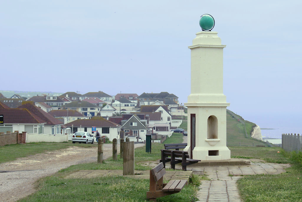
Telscombe Cliffs
Settlement in Sussex Lewes
England
Telscombe Cliffs
The requested URL returned error: 429 Too Many Requests
If you have any feedback on the listing, please let us know in the comments section below.
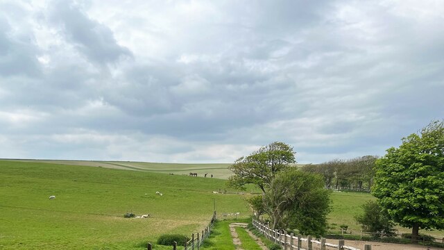
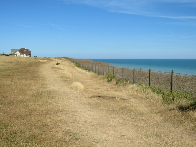
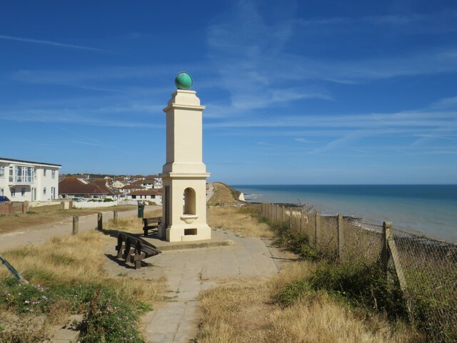
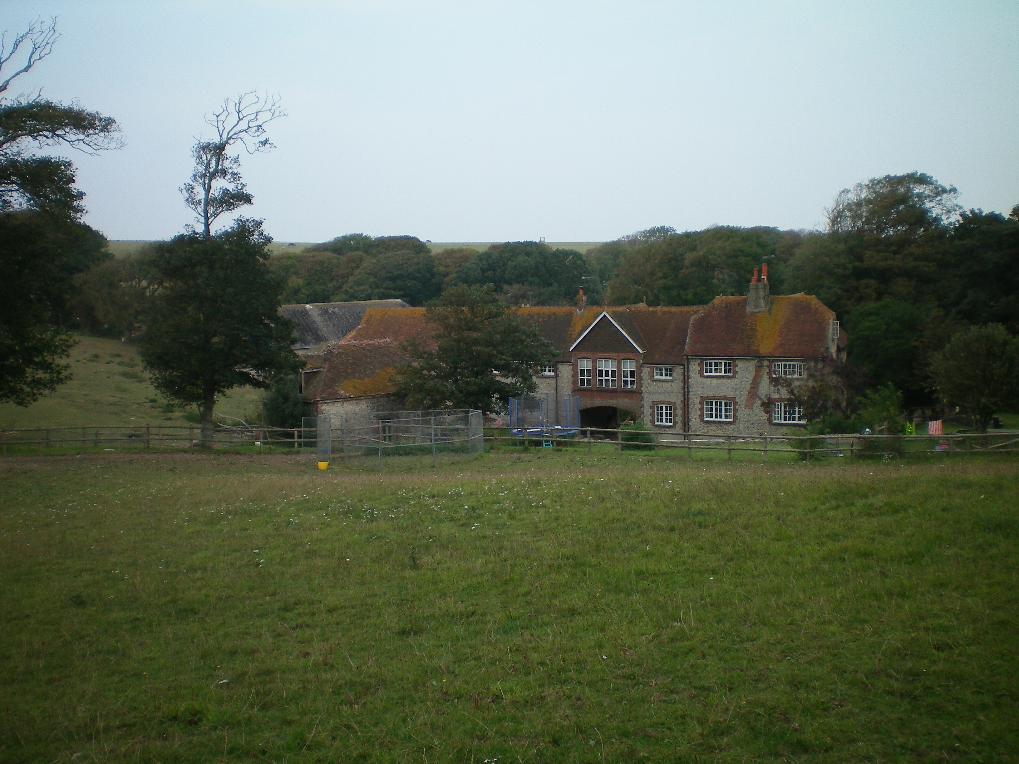
Telscombe Cliffs Images
Images are sourced within 2km of 50.799577/-0.013429 or Grid Reference TQ4001. Thanks to Geograph Open Source API. All images are credited.


Telscombe Cliffs is located at Grid Ref: TQ4001 (Lat: 50.799577, Lng: -0.013429)
Administrative County: East Sussex
District: Lewes
Police Authority: Sussex
What 3 Words
///distracts.empire.winemaker. Near Peacehaven, East Sussex
Nearby Locations
Related Wikis
Telscombe
Telscombe is a town and civil parish in the Lewes District of East Sussex, England. It consists of three distinct settlements, separated from each other...
Peacehaven
Peacehaven is a town and civil parish in the Lewes district of East Sussex, England. It is located above the chalk cliffs of the South Downs approximately...
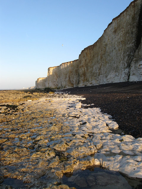
Brighton to Newhaven Cliffs
Brighton to Newhaven Cliffs is a 165.4-hectare (409-acre) biological and geological Site of Special Scientific Interest and Geological Conservation Review...

Peacehaven Community School
Peacehaven Community School is a mixed secondary school for 11 to 16-year-olds in Peacehaven, East Sussex in the United Kingdom. The school was opened...
Nearby Amenities
Located within 500m of 50.799577,-0.013429Have you been to Telscombe Cliffs?
Leave your review of Telscombe Cliffs below (or comments, questions and feedback).