Tanwood
Settlement in Worcestershire Wyre Forest
England
Tanwood
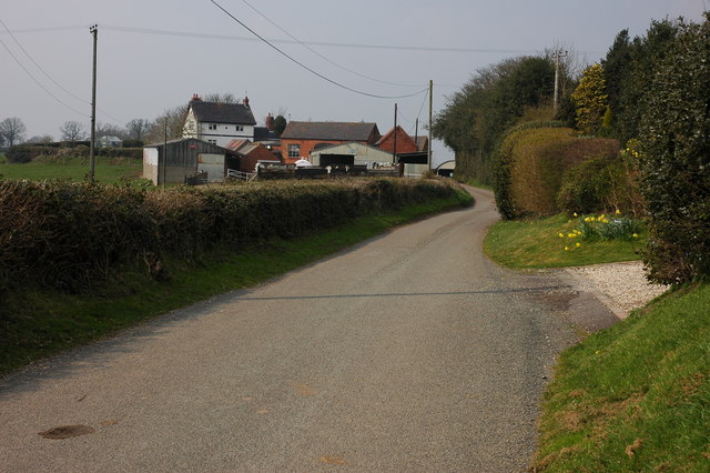
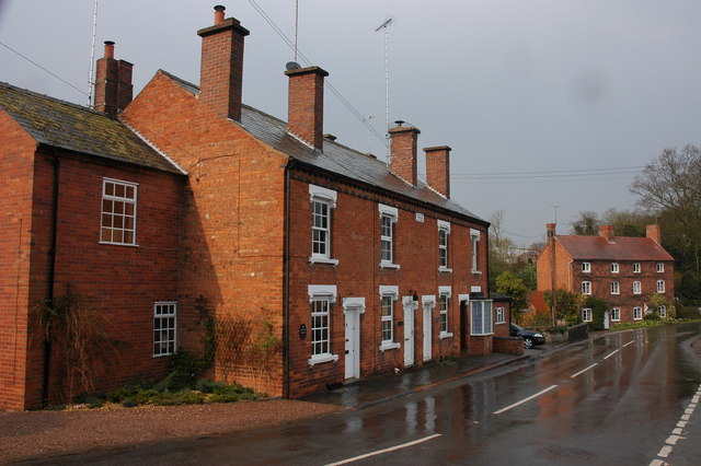
Tanwood is a small village located in the county of Worcestershire, England. Situated in the picturesque Malvern Hills district, it is surrounded by lush green fields and rolling countryside, offering residents and visitors a tranquil and idyllic setting.
The village is home to a tight-knit community, with a population of around 500 residents. The local economy is primarily based on agriculture, with many residents working in farming or related industries. The fertile soil and favorable climate of the region make it an ideal location for the cultivation of crops and rearing of livestock.
One of the notable landmarks in Tanwood is the St. Mary's Church, a beautiful medieval church dating back to the 12th century. Its stunning architecture and historical significance attract visitors from far and wide, who come to admire its intricate stained glass windows and ornate stone carvings.
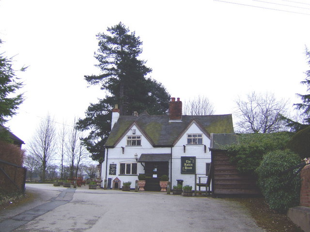
Tanwood is also well-known for its thriving local pub, The Tanwood Arms, which serves as a social hub for both residents and visitors alike. Here, one can enjoy traditional pub food and drink while soaking in the friendly atmosphere and charming rustic decor.
For those seeking outdoor activities, the surrounding countryside offers numerous walking trails and scenic spots, perfect for hikers and nature enthusiasts. The nearby Malvern Hills provide breathtaking panoramic views of the area and are a popular destination for outdoor recreation.
Overall, Tanwood is a peaceful and picturesque village, offering a close-knit community, stunning natural surroundings, and a rich historical heritage. It is a place where residents can enjoy a peaceful rural lifestyle, while still having easy access to the amenities and attractions of nearby towns.
If you have any feedback on the listing, please let us know in the comments section below.
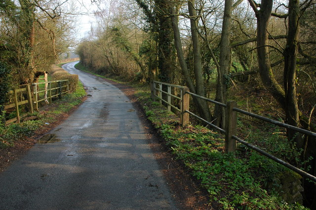
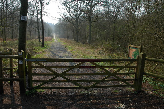
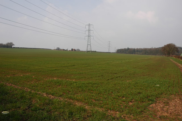
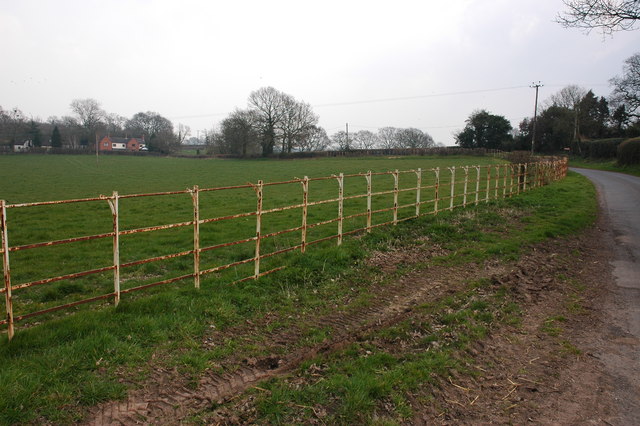
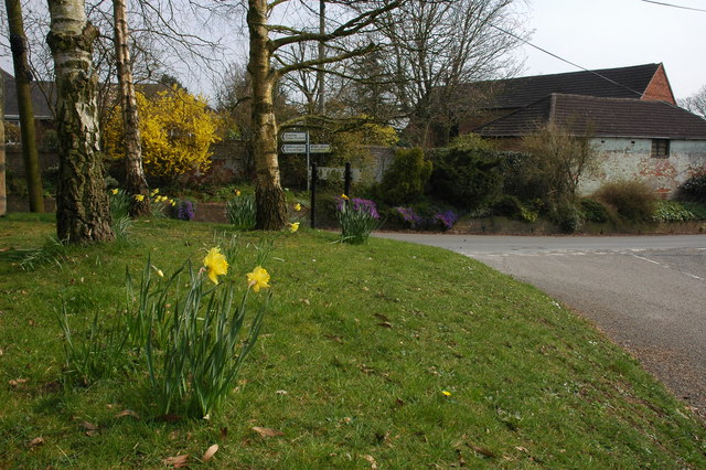
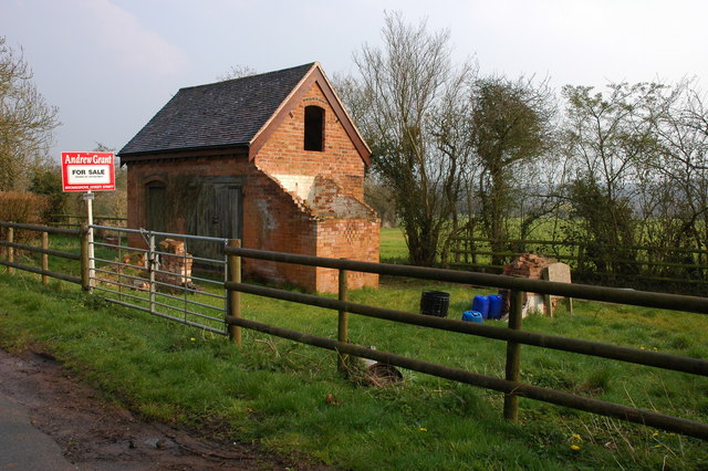
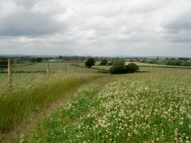
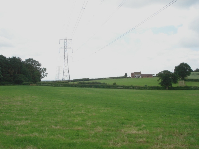
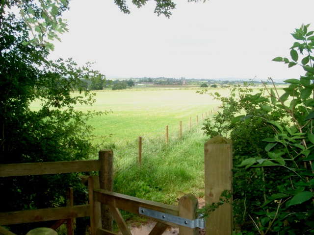
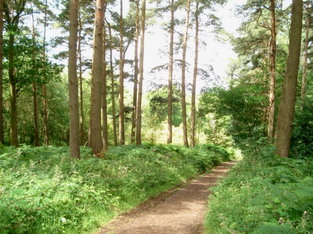
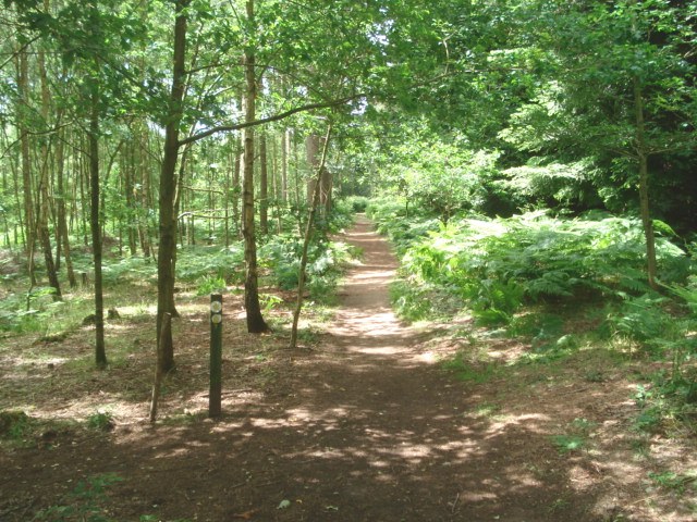
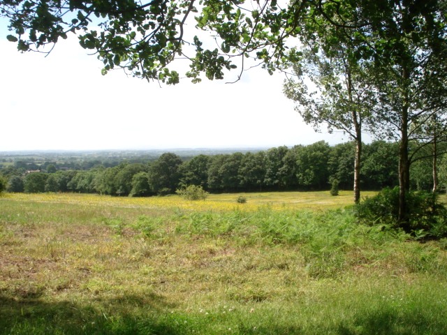
Tanwood Images
Images are sourced within 2km of 52.369423/-2.139647 or Grid Reference SO9074. Thanks to Geograph Open Source API. All images are credited.


Tanwood is located at Grid Ref: SO9074 (Lat: 52.369423, Lng: -2.139647)
Administrative County: Worcestershire
District: Wyre Forest
Police Authority: West Mercia
What 3 Words
///tasters.blocking.mows. Near Belbroughton, Worcestershire
Nearby Locations
Related Wikis

Tanwood
Tanwood is a hamlet in the English county of Worcestershire. It lies about one mile northeast of the village of Chaddesley Corbett and forms part of the...

Chaddesley Woods National Nature Reserve
Chaddesley Woods National Nature Reserve is situated near the village of Chaddesley Corbett, in Worcestershire, England. It is a reserve of the Worcestershire...
Drayton, Worcestershire
Drayton is a hamlet in Worcestershire, England which remains part of the ecclesiastical parish of Chaddesley Corbett, which from its select vestry formed...

Chaddesley Corbett
Chaddesley Corbett is a village and civil parish in the Wyre Forest District of Worcestershire, England. The Anglican and secular versions of the parish...
Nearby Amenities
Located within 500m of 52.369423,-2.139647Have you been to Tanwood?
Leave your review of Tanwood below (or comments, questions and feedback).