Tankersley
Settlement in Yorkshire
England
Tankersley

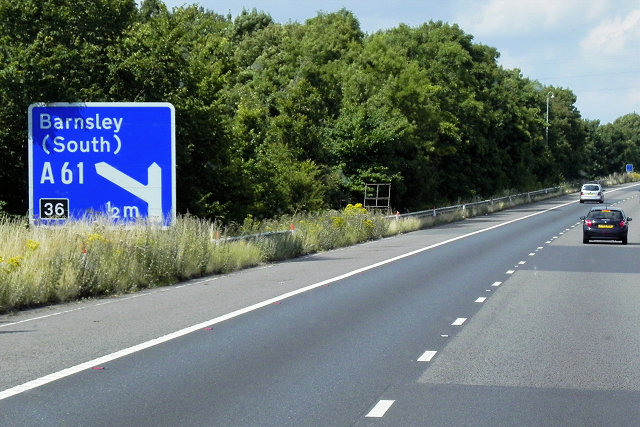
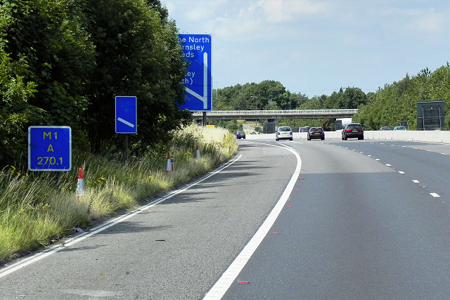
Tankersley is a small village located in the Metropolitan Borough of Barnsley, South Yorkshire, England. Situated approximately 7 miles northwest of Barnsley town center, it is nestled in the picturesque countryside of the Dearne Valley. Tankersley is conveniently positioned near the M1 motorway, providing easy access to nearby towns and cities.
Historically, Tankersley was an agricultural settlement, with evidence of human habitation dating back to the Bronze Age. Over time, it transitioned into a mining village during the Industrial Revolution, with coal mining being a prominent industry in the area. Today, the village retains its rural charm, with a mix of traditional stone-built cottages and more modern housing.
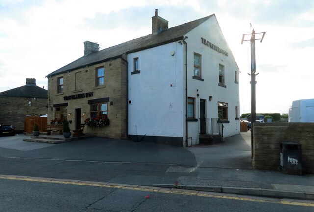
Despite its small size, Tankersley offers several amenities to its residents. The village boasts a primary school, a church, and a local pub, which serves as a hub for the community. Tankersley is also home to the Tankersley Manor Hotel, a popular venue for weddings and events, set within beautiful landscaped gardens.
For those seeking outdoor activities, Tankersley is surrounded by countryside, providing ample opportunities for walking, hiking, and cycling. Nearby attractions include the stunning Wentworth Castle Gardens and the Yorkshire Sculpture Park, both within a short drive from the village.
Overall, Tankersley offers a peaceful and idyllic setting for residents, with its rich history, natural beauty, and convenient location making it a desirable place to call home.
If you have any feedback on the listing, please let us know in the comments section below.
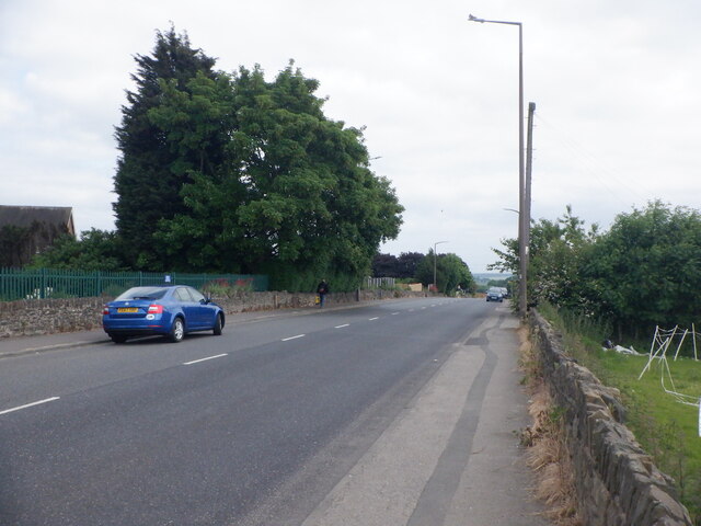
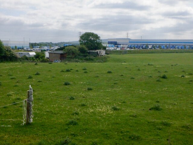
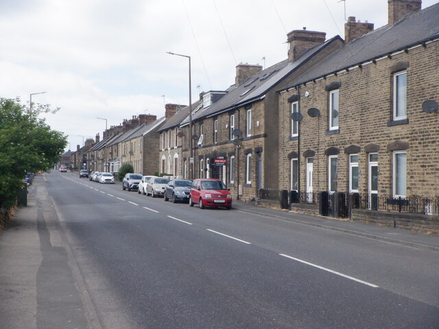
Tankersley Images
Images are sourced within 2km of 53.495637/-1.4826043 or Grid Reference SE3400. Thanks to Geograph Open Source API. All images are credited.


Tankersley is located at Grid Ref: SE3400 (Lat: 53.495637, Lng: -1.4826043)
Division: West Riding
Unitary Authority: Barnsley
Police Authority: South Yorkshire
What 3 Words
///dented.poppy.selection. Near Birdwell, South Yorkshire
Nearby Locations
Related Wikis
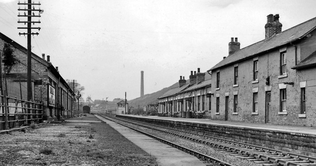
Birdwell & Hoyland Common railway station
Birdwell & Hoyland Common railway station was a railway station on the South Yorkshire Railway's Blackburn Valley line between Westwood and High Royds...

Birdwell, South Yorkshire
Birdwell is a village in the Metropolitan Borough of Barnsley in South Yorkshire, England and is located approximately 4.5 miles (7 km) south of Barnsley...

Pilley, South Yorkshire
Pilley is a village in the metropolitan borough of Barnsley in South Yorkshire, England. Pilley is situated to the south of Barnsley and to the west of...

Tankersley, South Yorkshire
Tankersley is a village and civil parish in the Metropolitan Borough of Barnsley in South Yorkshire, England. At the 2001 census it had a population of...

Westwood railway station
Westwood railway station was situated on the South Yorkshire Railway's Blackburn Valley line between Chapeltown Central and Birdwell & Hoyland Common....

High Royds railway station
High Royds, a small mining community near Barnsley in South Yorkshire is not to be confused with High Royds, near Menston in West Yorkshire, served by...
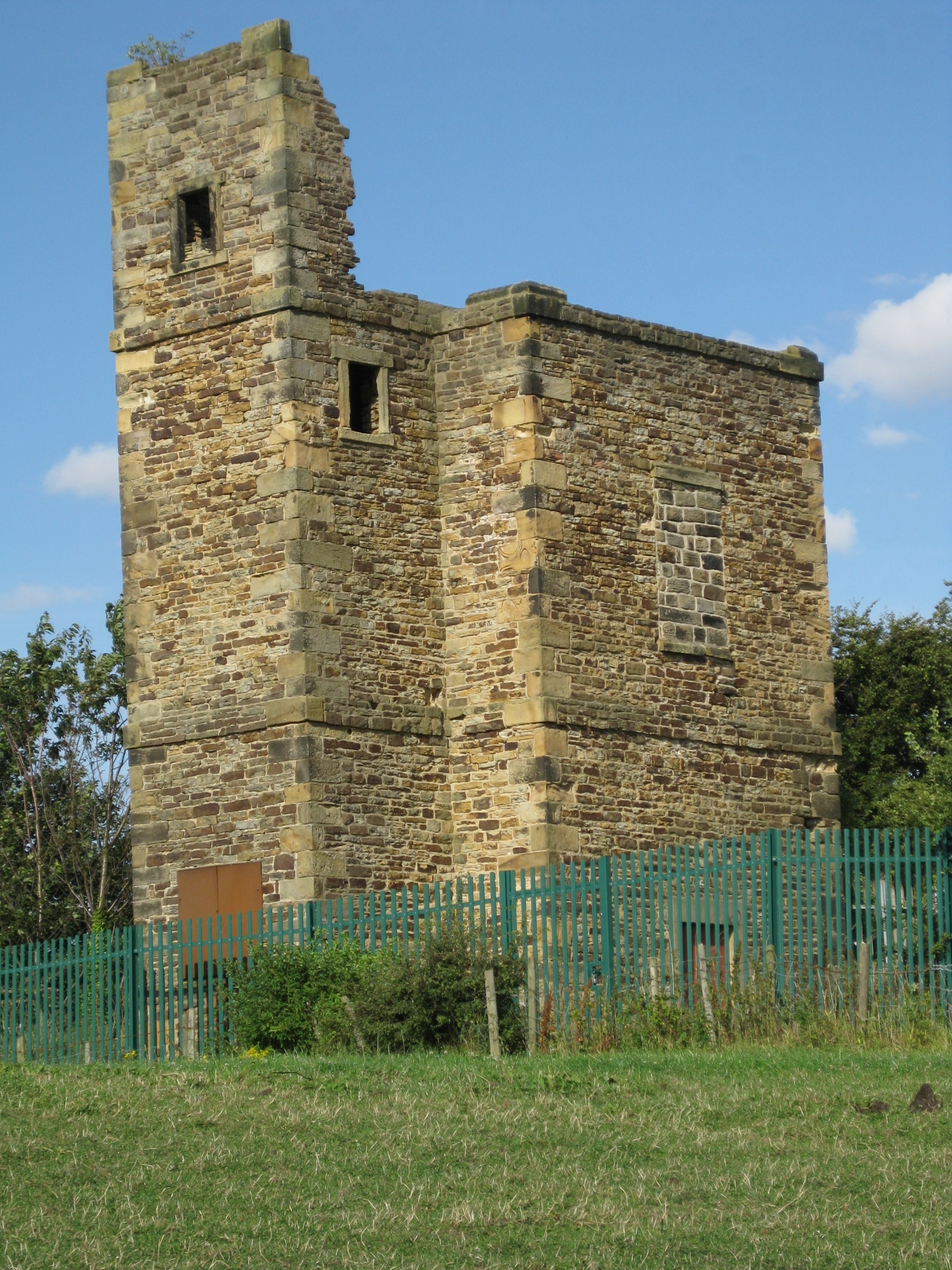
Lowe Stand
Lowe Stand is an 18th-century folly built for Thomas Watson-Wentworth, 1st Marquess of Rockingham, and likely originally intended as a hunting lodge. It...
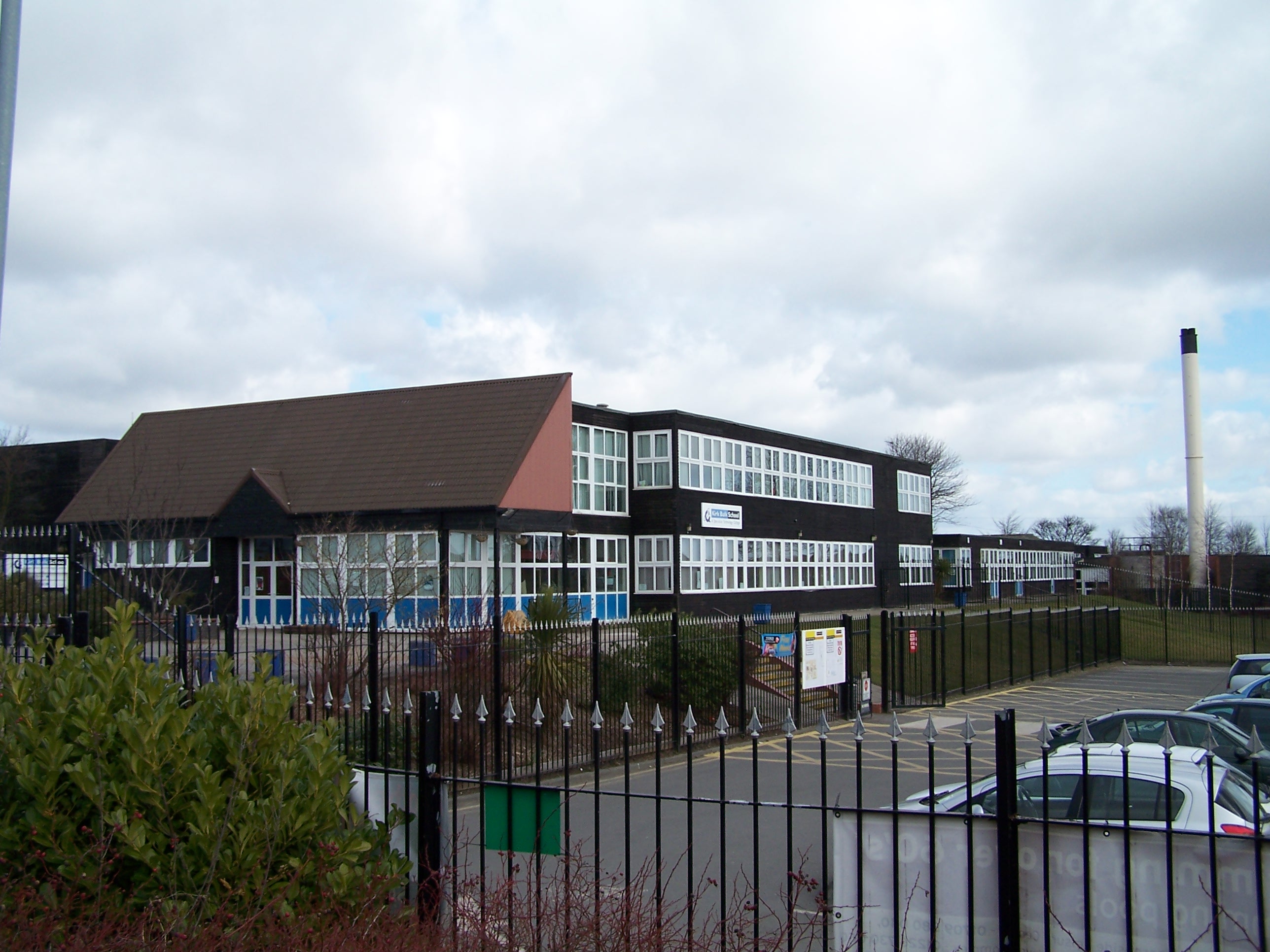
Kirk Balk Academy
Kirk Balk Academy is a secondary school located in Barnsley, South Yorkshire, England. It is part of the Northern Education Trust. The school mainly serves...
Nearby Amenities
Located within 500m of 53.495637,-1.4826043Have you been to Tankersley?
Leave your review of Tankersley below (or comments, questions and feedback).