Tangasdale

Settlement in Inverness-shire

Scotland

Tangasdale

Minor road through Borve
Minor road through Borve Credit: John Lucas

The requested URL returned error: 429 Too Many Requests

If you have any feedback on the listing, please let us know in the comments section below.
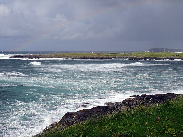
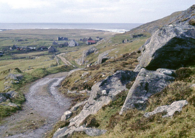
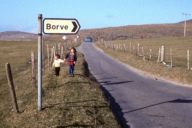
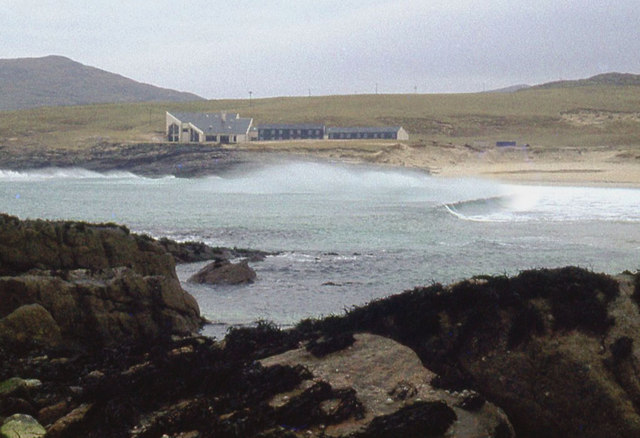
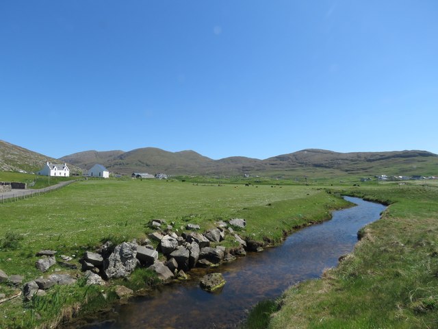
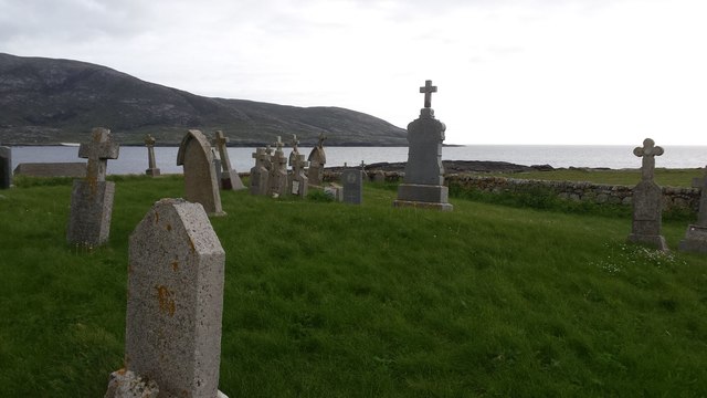
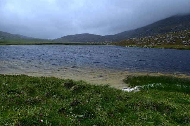
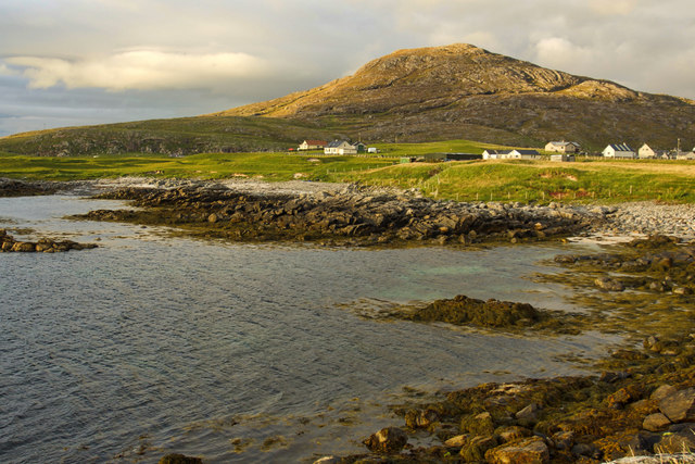
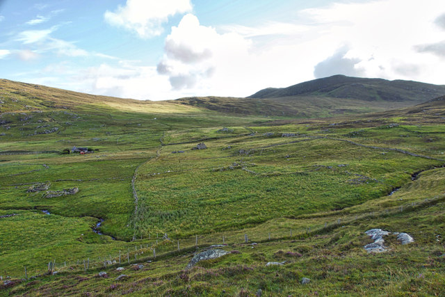
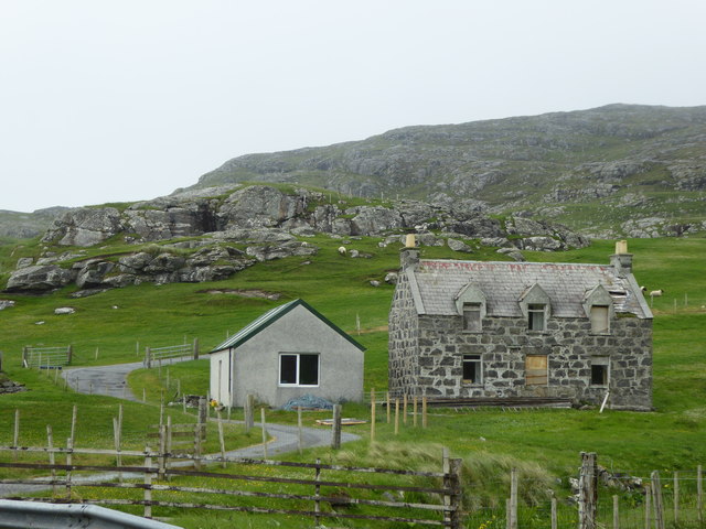
Tangasdale Images

Images are sourced within 2km of 56.969372/-7.5149947 or Grid Reference NF6500. Thanks to Geograph Open Source API. All images are credited.

Minor road through Borve
Bàgh Halaman Looking towards Àird na Greagaig.
Bàgh Halaman
Looking towards Àird na Greagaig.
Gob Bhuirgh On the west coast of Barra.
Gob Bhuirgh
On the west coast of Barra.
A track down to Borve from the hills
Home from school at Borve
New hotel at Bàgh Halaman Sheltered from an easterly gale.
New hotel at Bàgh Halaman
Sheltered from an easterly gale.
Geo at Dùn Bàn
Geo at Dùn Bàn
Abhainn Mòr at Borgh, Barra
Bagh Halaman The bay is viewed here from the Beach Hotel's garden.
Bagh Halaman
The bay is viewed here from the Beach Hotel's garden.
Burial site at Borve The cemetery sits on raised ground near to the seashore west of Borve settlement on the island of Barra.
Burial site at Borve
The cemetery sits on raised ground near to the seashore west of Borve settlement on the island of Barra.
Dùn Bàn
Dùn Bàn
Loch na Doirlinn
Loch na Doirlinn
Borve campsite
Borve campsite
Sheep at Tangasdail
Sheep at Tangasdail
Beinn Mhartainn overlooking the township of Borgh
Outer pastures of Borgh
Derelict house at Tangasdal
Show me another place!

Tangasdale is located at Grid Ref: NF6500 (Lat: 56.969372, Lng: -7.5149947)

Unitary Authority: Na h-Eileanan an Iar

Police Authority: Highlands and Islands

Also known as: Tangasdal

What 3 Words

///lilac.carting.stack. Near CastleBay, Na h-Eileanan Siar

Nearby Locations

Tangasdale

Related Wikis

Borve, Barra

Borve (Scottish Gaelic: Borgh) is a village on the west coast of the island of Barra in the Outer Hebrides, Scotland. Borve is within the parish of Barra...

Isle of Barra distillery

Isle of Barra distillery at Borve, Barra, Scotland is a planned future whisky distillery on Barra. The Barra Distillery company was founded in 2003 but...

Castlebay Community School

Castlebay Community School is a bilingual Gaelic/English school for ages 3–18 on the Scottish island of Barra.In September 2007, it hosted a major tribute...

Barrathon

The Barrathon is an annual half marathon which takes place on the Isle of Barra, which is the southernmost inhabited isle of the Outer Hebrides in Scotland...

Nearby Amenities

Located within 500m of 56.969372,-7.5149947
Passing Place
Lat/Long: 56.9730939/-7.5161439
Passing Place
Lat/Long: 56.96801/-7.5151408
Barrier: cattle_grid
Lat/Long: 56.9721497/-7.5149462
Post Box
Operator: Royal Mail
Post Box Type: lamp
Ref: HS9 11
Lat/Long: 56.9703263/-7.5165851
Barrier: cattle_grid
Lat/Long: 56.9730436/-7.515329
Tangasdal
Name En: Tangasdale
Name Gd: Tangasdal
Place: hamlet
Lat/Long: 56.970333/-7.5158548
Power: pole
Lat/Long: 56.9735012/-7.5149073
Power: pole
Lat/Long: 56.9728258/-7.5156087
Power: pole
Lat/Long: 56.9723843/-7.5160754
Power: pole
Lat/Long: 56.971695/-7.5165112
Power: pole
Lat/Long: 56.9710349/-7.516927
Power: pole
Lat/Long: 56.9703821/-7.5173521
Power: pole
Lat/Long: 56.9696672/-7.5178
Power: pole
Lat/Long: 56.9691292/-7.5171107
Power: pole
Lat/Long: 56.9685853/-7.5164388
Power: pole
Lat/Long: 56.9679668/-7.5156489
Power: pole
Lat/Long: 56.9674105/-7.5149502
Power: pole
Lat/Long: 56.9668381/-7.5142287
Power: pole
Lat/Long: 56.9663819/-7.5136681
Power: pole
Lat/Long: 56.9659374/-7.5131048
Power: pole
Lat/Long: 56.9654103/-7.5124437
Power: pole
Lat/Long: 56.9650272/-7.5130539
Booth: K6
Disused Amenity: telephone
Man Made: telephone_box
Old Phone: +44 1871 810297
Lat/Long: 56.9704476/-7.5164482
Passing Place
Lat/Long: 56.9701957/-7.5165005
Turning Circle
Turning Circle: hammer
Lat/Long: 56.9729953/-7.5139558
Passing Place
Lat/Long: 56.9711899/-7.5161786
Power: pole
Lat/Long: 56.9734918/-7.5131511
Power: pole
Lat/Long: 56.97335/-7.5138834
Power: pole
Lat/Long: 56.968686/-7.5151569
Power: pole
Lat/Long: 56.9690497/-7.5158157
Power: pole
Lat/Long: 56.9693513/-7.516388
Power: pole
Lat/Long: 56.9703435/-7.5158748
Power: pole
Lat/Long: 56.9699233/-7.5159466
Power: pole
Lat/Long: 56.9694629/-7.5158917
Barrier: cattle_grid
Lat/Long: 56.9738468/-7.5145277
Barrier: cattle_grid
Lat/Long: 56.9728535/-7.5152305
Turning Circle
Turning Circle: knuckle
Lat/Long: 56.972849/-7.5147789
The data included in this document is from www.openstreetmap.org. The data is made available under ODbL.

Have you been to Tangasdale?

Leave your review of Tangasdale below (or comments, questions and feedback).