Bonkle

Settlement in Lanarkshire

Scotland

Bonkle

Houses backing onto the disused rail track at Newmains
Houses backing onto the disused rail track at Newmains Credit: Elliott Simpson

Bonkle is a small rural village located in the county of Lanarkshire, Scotland. Situated approximately 20 miles southeast of Glasgow, it falls within the council area of North Lanarkshire. With a population of around 1,000 residents, Bonkle occupies a picturesque setting surrounded by rolling countryside.

The village is known for its rich history, dating back to ancient times. Evidence of human settlement in the area can be traced to prehistoric times, with several archaeological sites discovered nearby. Bonkle also played a significant role during the industrial revolution, primarily due to its proximity to coal mines and its agricultural resources.

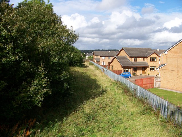
Today, Bonkle remains a close-knit community with a strong sense of local pride. The village is characterized by its charming traditional cottages and well-maintained gardens. The local primary school, Bonkle Primary, serves as an essential hub for education and community activities.

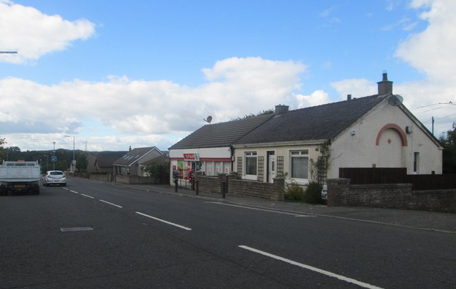
While Bonkle is predominantly residential, there are a few amenities available to its residents. These include a post office, a small convenience store, and a local pub. For more extensive shopping and entertainment options, residents can easily access nearby towns and cities such as Wishaw and Motherwell.

The surrounding countryside offers a range of outdoor activities for nature enthusiasts, including walking and cycling trails. Additionally, there are several golf courses within a short driving distance from Bonkle.

Overall, Bonkle offers a peaceful and idyllic setting for those seeking a tranquil village lifestyle within easy reach of larger urban centers.

If you have any feedback on the listing, please let us know in the comments section below.
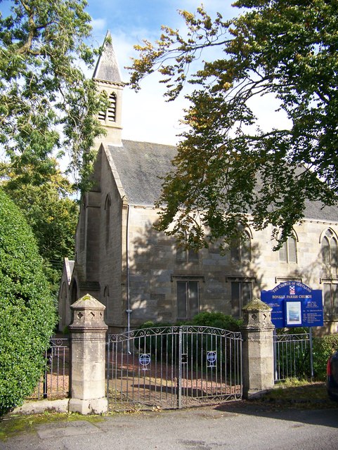
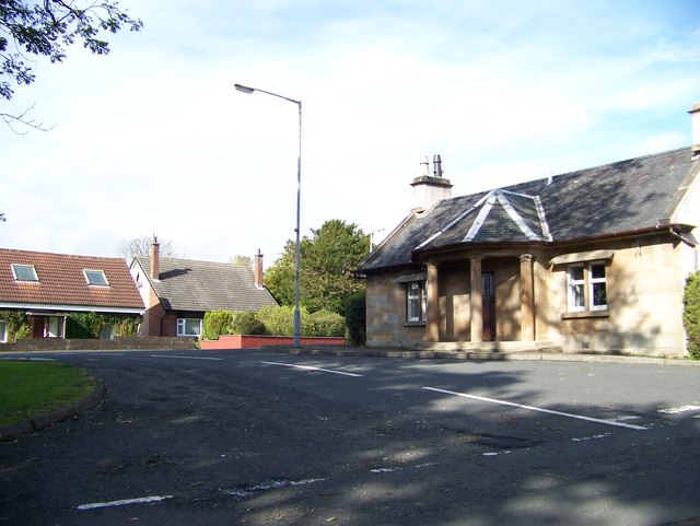
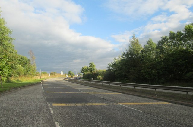
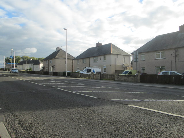
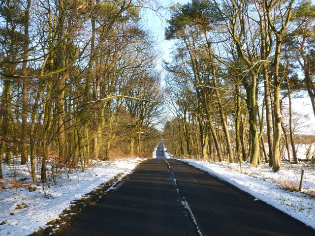
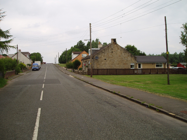
Bonkle Images

Images are sourced within 2km of 55.791936/-3.857602 or Grid Reference NS8356. Thanks to Geograph Open Source API. All images are credited.

Houses backing onto the disused rail track at Newmains
Bonkle Parish Church
A house with pillars in Bonkle I don't know if this was a gate house or a toll house
A house with pillars in Bonkle
I don't know if this was a gate house or a toll house
Cottages and shop at Allanton In North Lanarkshire.
Cottages and shop at Allanton
In North Lanarkshire.
The A71 heading south-west At Bonkle in North Lanarkshire.
The A71 heading south-west
At Bonkle in North Lanarkshire.
Lay by on the southbound A73 Nearing Newmains.
Lay by on the southbound A73
Nearing Newmains.
Housing at Newmains in North Lanarkshire At the side of the A73.
Housing at Newmains in North Lanarkshire
At the side of the A73.
Wooden Display Stall Looking rather forlorn in late autumn, this is used in summer for the display and sale of vegetables grown locally.
Wooden Display Stall
Looking rather forlorn in late autumn, this is used in summer for the display and sale of vegetables grown locally.
Line of Trees near Morningside A mature line of trees separating 2 fields.
Line of Trees near Morningside
A mature line of trees separating 2 fields.
Rural Crossroads south-east of Bonkle The 4 minor roads lead to Bonkle, Allanton, Carluke and Morningside starting clockwise from the road on the left.
Rural Crossroads south-east of Bonkle
The 4 minor roads lead to Bonkle, Allanton, Carluke and Morningside starting clockwise from the road on the left.
Former Railway Bridge east of Newmains This bridge dating from the former mining industry can only be seen properly when there are no leaves on the surrounding trees.
Former Railway Bridge east of Newmains
This bridge dating from the former mining industry can only be seen properly when there are no leaves on the surrounding trees.
Road near Hill of Murdostoun A minor road through farmland in Lanarkshire.
Road near Hill of Murdostoun
A minor road through farmland in Lanarkshire.
Foulburn Railway Bridge I'm pretty sure that the bridge nameplate wrongly calls the bridge 'Fullburn', but the nameplate is too far away to tell, and my efforts to find an online exhaustive listing of railway bridge numbers and names have been unsuccessful.
I did, however, stumble across the Railway Data Centre website. I imagine trainspotters have known about it for ages, but if anyone hasn't come across it, it's quite the thing. It turns out that all railway bridges are numbered sequentially - obviously a fair proportion of the original bridges have been demolished since, leading to gaps between numbers - between railway junctions. In other words, each stand-alone section of track has its own bridge numbers. The easiest way to find out the ELR (Engineer's Line Reference) code for a certain section of track is to type in the nearest railway station. These codes almost always appear on the bridge's nameplates too.
Once armed with the ELR you can look at a table of bridges along that section of track. Distances from the datum junction are given along with the type of bridge (beam / underline), its construction material (early steel), and a grading of its condition (58%) recorded at the date of its last official inspection (2012)  Mostly, but not in this case, the bridge name is given, and occasionally, as in this case, the date of construction is given (1869).
The gradient of the track between points along the section is also given, along with a chart - it is remarkable how flat the railways actually are. On top of this, station details are included, along with those of tunnels and level crossings, though EGS2 - the ELR code for this track section (Edinburgh to Glasgow via Shotts) - has neither.
Foulburn was a farm, situated to the left of the picture, on this side of the railway. A few traces remain but the site is now in the later stages of being turned into an official gypsy site - accordingly there are plenty of horses grazing in subdivided fields directly behind the new development.
Although an unnamed drain or burn ran South into the old farm area, there is no Foul Burn marked on any maps here past or present. Since Foul Burn - of which there are a few in Scotland - seems to have always referred to a foul smelling burn, it seems odd that people would name anything after it. But maybe back then house names were like personal names and you just had to go with the name you were given!
Foulburn Railway Bridge
I'm pretty sure that the bridge nameplate wrongly calls the bridge 'Fullburn', but the nameplate is too far away to tell, and my efforts to find an online exhaustive listing of railway bridge numbers and names have been unsuccessful. I did, however, stumble across the Railway Data Centre website. I imagine trainspotters have known about it for ages, but if anyone hasn't come across it, it's quite the thing. It turns out that all railway bridges are numbered sequentially - obviously a fair proportion of the original bridges have been demolished since, leading to gaps between numbers - between railway junctions. In other words, each stand-alone section of track has its own bridge numbers. The easiest way to find out the ELR (Engineer's Line Reference) code for a certain section of track is to type in the nearest railway station. These codes almost always appear on the bridge's nameplates too. Once armed with the ELR you can look at a table of bridges along that section of track. Distances from the datum junction are given along with the type of bridge (beam / underline), its construction material (early steel), and a grading of its condition (58%) recorded at the date of its last official inspection (2012) Mostly, but not in this case, the bridge name is given, and occasionally, as in this case, the date of construction is given (1869). The gradient of the track between points along the section is also given, along with a chart - it is remarkable how flat the railways actually are. On top of this, station details are included, along with those of tunnels and level crossings, though EGS2 - the ELR code for this track section (Edinburgh to Glasgow via Shotts) - has neither. Foulburn was a farm, situated to the left of the picture, on this side of the railway. A few traces remain but the site is now in the later stages of being turned into an official gypsy site - accordingly there are plenty of horses grazing in subdivided fields directly behind the new development. Although an unnamed drain or burn ran South into the old farm area, there is no Foul Burn marked on any maps here past or present. Since Foul Burn - of which there are a few in Scotland - seems to have always referred to a foul smelling burn, it seems odd that people would name anything after it. But maybe back then house names were like personal names and you just had to go with the name you were given!
Sheep grazing off Foulburn Road
Shank Strip  Woodland beside Foulburn Road.
Shank Strip
Woodland beside Foulburn Road.
Foulburn Road beside woodland
Railway bridge over Foulburn Road Carries the line from Glasgow Central to Edinburgh Waverley via Shotts.
Railway bridge over Foulburn Road
Carries the line from Glasgow Central to Edinburgh Waverley via Shotts.
Grazing and woodland, Newmill The twin towers of Hartwood Hospital just visible to the left. See <a href="https://www.geograph.org.uk/photo/2949878">NS8458 : The twin towers of Hartwood Hospital</a>
Grazing and woodland, Newmill
The twin towers of Hartwood Hospital just visible to the left. See NS8458 : The twin towers of Hartwood Hospital
Show me another place!

Bonkle is located at Grid Ref: NS8356 (Lat: 55.791936, Lng: -3.857602)

Unitary Authority: North Lanarkshire

Police Authority: Lanarkshire

What 3 Words

///icicles.survivor.positions. Near Newmains, North Lanarkshire

Nearby Locations

Bonkle

Related Wikis

Bonkle

Bonkle is a village 3 miles (4.8 km) north-east of Wishaw in North Lanarkshire, Scotland. It is sited on the east bank of the South Calder Water. Murdostoun...

Newmains railway station

Newmains railway station served the village of Newmains, North Lanarkshire, Scotland from 1867 to 1930 on the Cleland to Morningside Line. == History... ==

Morningside, North Lanarkshire

Morningside is a small village in North Lanarkshire, Scotland. It is located around 3⁄4 mile (1.2 km) south of Newmains, and 2+1⁄4 miles (3.6 km) east...

Newmains

Newmains is a village and former mining community on the eastern edge of Wishaw, North Lanarkshire, Scotland, 18 miles (29 km) south-east of Glasgow. Although...

Nearby Amenities

Located within 500m of 55.791936,-3.857602
Bonkle
Place: village
Wikidata: Q4942133
Wikipedia: en:Bonkle
Lat/Long: 55.79188/-3.8578078
Post Box
Collection Times: Mo-Fr 09:00; Sa 07:00
Operator: Royal Mail
Post Box Type: wall
Ref: ML2 85D
Royal Cypher: EVIIR
Royal Cypher Wikidata: Q33102324
Lat/Long: 55.7909282/-3.8591979
Power: pole
Lat/Long: 55.7958817/-3.8609422
Power: pole
Lat/Long: 55.7956536/-3.8593907
Power: pole
Lat/Long: 55.7958285/-3.8572799
Bus Stop
Bonkle, Bonkle Road after Meadowfield Place
Bus: yes
Naptan AtcoCode: 6160525
Naptan NaptanCode: 65234685
Public Transport: platform
Lat/Long: 55.790637/-3.8599033
Bus Stop
Bonkle, Bonkle Road opp Meadowfield Place
Bus: yes
Naptan AtcoCode: 6160524
Naptan NaptanCode: 65235935
Public Transport: platform
Lat/Long: 55.791028/-3.8592626
Bus Stop
Bonkle, Bonkle Road after Church Road
Bus: yes
Naptan AtcoCode: 6160523
Naptan NaptanCode: 65234243
Public Transport: platform
Lat/Long: 55.7912479/-3.8586599
Bus Stop
Bonkle, Bonkle Road at Murdostoun Road
Bus: yes
Naptan AtcoCode: 6160522
Naptan NaptanCode: 65236343
Public Transport: platform
Lat/Long: 55.7922844/-3.8578485
The data included in this document is from www.openstreetmap.org. The data is made available under ODbL.

Have you been to Bonkle?

Leave your review of Bonkle below (or comments, questions and feedback).