Synwell

Settlement in Gloucestershire Stroud

England

Synwell

Wotton-Under-Edge : Bear Street Looking along Bear Street from the road junction.
Wotton-Under-Edge : Bear Street Credit: Lewis Clarke

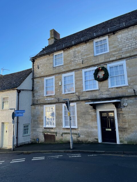
Synwell is a small village located in the county of Gloucestershire, England. Situated in the picturesque countryside, it lies approximately 5 miles southeast of the town of Wotton-under-Edge and 10 miles west of the city of Stroud. The village is nestled in the Cotswold Area of Outstanding Natural Beauty, offering residents and visitors an idyllic setting with stunning views.

Synwell has a rich history that dates back centuries. It is mentioned in the Domesday Book of 1086, indicating its ancient origins. The village is characterized by a mix of traditional stone cottages and newer, more modern properties. The local community is tight-knit, with a friendly and welcoming atmosphere.

Despite its small size, Synwell offers a range of amenities for its residents. These include a village hall, which serves as a hub for community events and gatherings, as well as a local pub that provides a welcoming space for socializing. The village also boasts a primary school, ensuring convenient access to education for local children.

The surrounding countryside provides ample opportunities for outdoor activities and exploration. Numerous walking and cycling trails crisscross the area, allowing residents and visitors to discover the beauty of the Cotswolds. Additionally, the nearby historic market towns of Wotton-under-Edge and Stroud offer a wide range of shopping, dining, and leisure facilities.

Overall, Synwell is a charming village that offers a peaceful and picturesque lifestyle within the stunning Cotswold countryside.

If you have any feedback on the listing, please let us know in the comments section below.
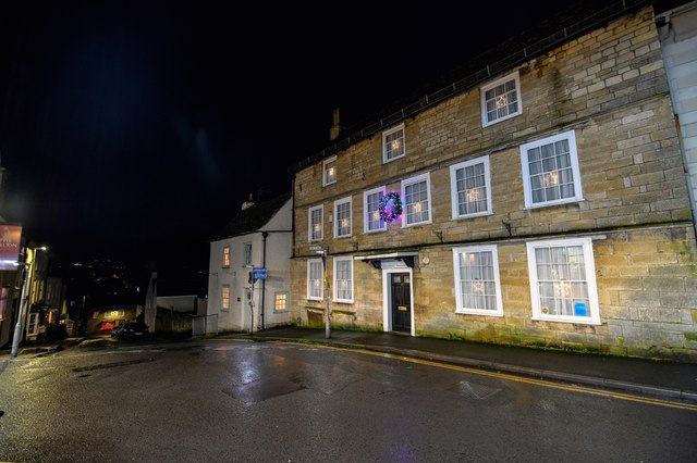
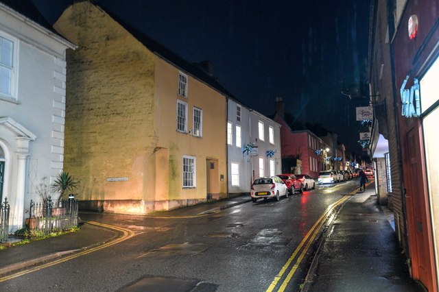
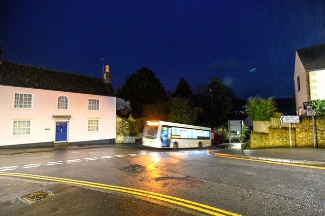
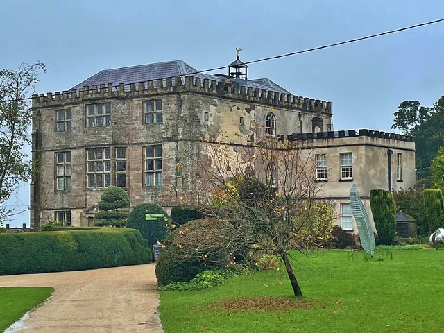
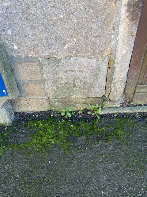
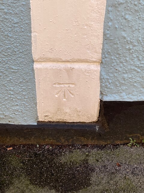
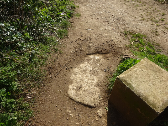
Synwell Images

Images are sourced within 2km of 51.638326/-2.339983 or Grid Reference ST7693. Thanks to Geograph Open Source API. All images are credited.

Wotton-Under-Edge : Bear Street Looking along Bear Street from the road junction.
Wotton-Under-Edge : Bear Street
Looking along Bear Street from the road junction.
Wotton-Under-Edge: Ludgate Hill Looking along Ludgate Hill.
Wotton-Under-Edge: Ludgate Hill
Looking along Ludgate Hill.
Wotton-Under-Edge : Long Street Looking along Long Street.
Wotton-Under-Edge : Long Street
Looking along Long Street.
Wotton-Under-Edge : Church Street Looking along Church Street.
Wotton-Under-Edge : Church Street
Looking along Church Street.
Wotton-Under-Edge : School Road Looking along School Road from the junction at Church Street.
Wotton-Under-Edge : School Road
Looking along School Road from the junction at Church Street.
Square Pear A sculpture by Richard Cresswell in the garden at Newark House, an exhibit in 'Sculpture in the Garden 2021'
Square Pear
A sculpture by Richard Cresswell in the garden at Newark House, an exhibit in 'Sculpture in the Garden 2021'
Cyclamen and fallen leaves In the grounds of Newark House
Cyclamen and fallen leaves
In the grounds of Newark House
Newark House A grade II listed building built as a hunting lodge by Sir Nicholas Poyntz in the mid 1500s and extended and remodelled several times over the next 400 years. It was given to National Trust in 1949.
Newark House
A grade II listed building built as a hunting lodge by Sir Nicholas Poyntz in the mid 1500s and extended and remodelled several times over the next 400 years. It was given to National Trust in 1949.
Cut Mark: Wotton-under-Edge, Long Street, Carlton House Cut bench mark on the frontage of the house.  See <a title="https://www.geograph.org.uk/photo/7070432" href="https://www.geograph.org.uk/photo/7070432">Link</a> for a wider view and <span class="nowrap"><a title="https://www.bench-marks.org.uk/bm59141" rel="nofollow ugc noopener" href="https://www.bench-marks.org.uk/bm59141">Link</a><img style="margin-left:2px;" alt="External link" title="External link - shift click to open in new window" src="https://s1.geograph.org.uk/img/external.png" width="10" height="10"/></span> for details of the mark.
Cut Mark: Wotton-under-Edge, Long Street, Carlton House
Cut bench mark on the frontage of the house. See Link for a wider view and LinkExternal link for details of the mark.
Carlton House, Long Street There is a cut bench mark on the frontage of the house.  See <a title="https://www.geograph.org.uk/photo/7070429" href="https://www.geograph.org.uk/photo/7070429">Link</a> for a wider view and <span class="nowrap"><a title="https://www.bench-marks.org.uk/bm59141" rel="nofollow ugc noopener" href="https://www.bench-marks.org.uk/bm59141">Link</a><img style="margin-left:2px;" alt="External link" title="External link - shift click to open in new window" src="https://s1.geograph.org.uk/img/external.png" width="10" height="10"/></span> for details of the mark.
Carlton House, Long Street
There is a cut bench mark on the frontage of the house. See Link for a wider view and LinkExternal link for details of the mark.
Cut Mark: Wotton-under-Edge, Orchard Street / Long Street Cut mark on the Orchard Street face of a building on the corner of Orchard Street and Long Street.  See <span class="nowrap"><a title="https://www.bench-marks.org.uk/bm102245" rel="nofollow ugc noopener" href="https://www.bench-marks.org.uk/bm102245">Link</a><img style="margin-left:2px;" alt="External link" title="External link - shift click to open in new window" src="https://s1.geograph.org.uk/img/external.png" width="10" height="10"/></span> for details of the mark.
Cut Mark: Wotton-under-Edge, Orchard Street / Long Street
Cut mark on the Orchard Street face of a building on the corner of Orchard Street and Long Street. See LinkExternal link for details of the mark.
Stone Stile, Wotton-under-Edge A stone slab from the stile, now a "Fallen Idle". On Gloucestershire bridleway CWE95 looking South, the view looking North is <a href="https://www.geograph.org.uk/photo/7127050">ST7594 : Stone Stile, Wotton-under-Edge</a>.
Stone Stile, Wotton-under-Edge
A stone slab from the stile, now a "Fallen Idle". On Gloucestershire bridleway CWE95 looking South, the view looking North is ST7594 : Stone Stile, Wotton-under-Edge.
Stone Stile, Wotton-under-Edge A stone slab from the stile, now a "Fallen Idle". On Gloucestershire bridleway CWE95 looking North, the view looking South is <a href="https://www.geograph.org.uk/photo/7127049">ST7594 : Stone Stile, Wotton-under-Edge</a>.
Stone Stile, Wotton-under-Edge
A stone slab from the stile, now a "Fallen Idle". On Gloucestershire bridleway CWE95 looking North, the view looking South is ST7594 : Stone Stile, Wotton-under-Edge.
Stone Stile, Wortley At the entrance to Wortley House on Gloucestershire footpath CWE73.
Stone Stile, Wortley
At the entrance to Wortley House on Gloucestershire footpath CWE73.
Derelict buildings
Derelict buildings
Stone Stile, Wotton under Edge A gatepost and squeeze stile on Gloucestershire footpath CWE90 looking East. It would allow people to pass but not horses or cattle. Sheep might have been able to traverse. There was originally a gate at this point. The alternative view looking NW is <a href="https://www.geograph.org.uk/photo/7349021">ST7593 : Stone Stile, Wotton under Edge</a>.
Stone Stile, Wotton under Edge
A gatepost and squeeze stile on Gloucestershire footpath CWE90 looking East. It would allow people to pass but not horses or cattle. Sheep might have been able to traverse. There was originally a gate at this point. The alternative view looking NW is ST7593 : Stone Stile, Wotton under Edge.
Stone Stile, Wotton under Edge A gatepost and squeeze stile on Gloucestershire footpath CWE90 looking NW. It would allow people to pass but not horses or cattle. Sheep might have been able to traverse. There was originally a gate at this point. The alternative view looking East is <a href="https://www.geograph.org.uk/photo/7349020">ST7593 : Stone Stile, Wotton under Edge</a>.
Stone Stile, Wotton under Edge
A gatepost and squeeze stile on Gloucestershire footpath CWE90 looking NW. It would allow people to pass but not horses or cattle. Sheep might have been able to traverse. There was originally a gate at this point. The alternative view looking East is ST7593 : Stone Stile, Wotton under Edge.
Crinkle-crankle wall at Newark Park A description is contained in the collection <a title="https://www.geograph.org.uk/gallery/crinkle_crankle_or_serpentine_walls_15374" href="https://www.geograph.org.uk/gallery/crinkle_crankle_or_serpentine_walls_15374">Link</a>
Crinkle-crankle wall at Newark Park
A description is contained in the collection Link
Show me another place!

Synwell is located at Grid Ref: ST7693 (Lat: 51.638326, Lng: -2.339983)

Administrative County: Gloucestershire

District: Stroud

Police Authority: Gloucestershire

What 3 Words

///limes.burden.tidying. Near Wotton-under-Edge, Gloucestershire

Related Wikis

Ancient Ram Inn

The Ancient Ram Inn is a Grade II* listed building and a former pub located in Wotton-under-Edge, a market town within the Stroud district of Gloucestershire...

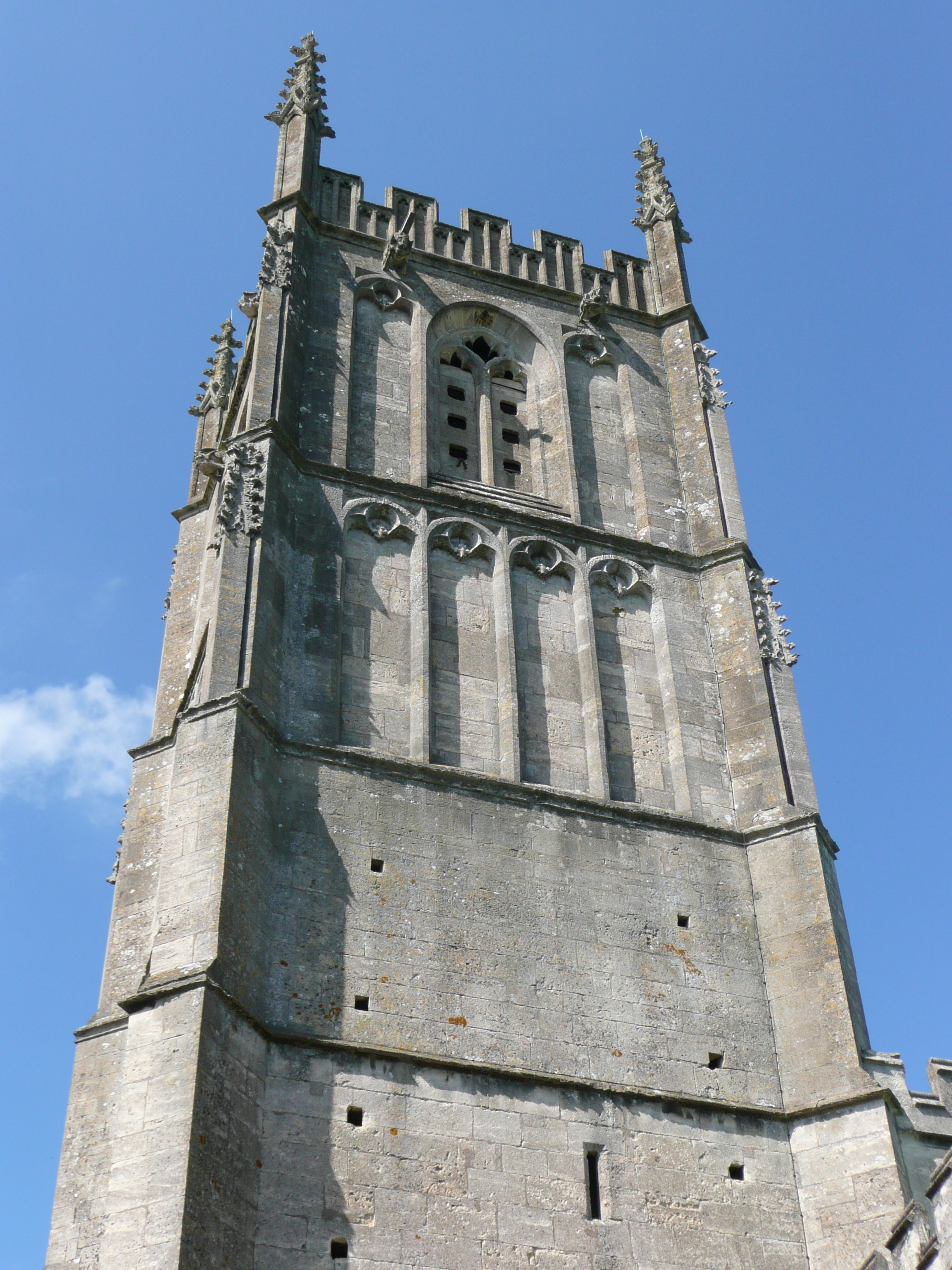
St Mary the Virgin, Wotton-under-Edge

One of the oldest churches in its area, St Mary's was consecrated on 19 August 1283 by Bishop of Worcester, Godfrey Giffard. It is believed that most of...

Coombe, Gloucestershire

Coombe is a settlement in the English county of Gloucestershire. It is adjacent to the town of Wotton-under-Edge. The town name can also be found spelled...

Wotton-under-Edge

Wotton-under-Edge is a market town and civil parish in the Stroud district of Gloucestershire, England. Near the southern fringe of the Cotswolds, the...

Wotton under Edge Friary

Wotton under Edge Friary was a friary of the Crutched Friars in Wotton-under-Edge, Gloucestershire, England. It was founded in 1347. == References ==

Coombe Hill (Cotswolds)

Coombe Hill (grid reference ST765942) is a 15.4-hectare (38-acre) biological Site of Special Scientific Interest in Gloucestershire, notified in 1994.The...

Wotton-under-Edge Town Hall

Wotton-under-Edge Town Hall is a municipal building in Market Street, Wotton-under-Edge, Gloucestershire, England. The structure, which operates as a community...
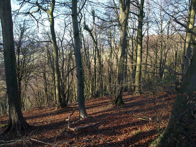
Wotton Hill

Wotton Hill (grid reference ST753942) is a hill on the edge of the Cotswold Hills in Gloucestershire, England, 0.5 miles (0.80 km) north of Wotton-under...

Nearby Amenities

Located within 500m of 51.638326,-2.339983
Direction: both
Traffic Calming: hump
Lat/Long: 51.6365168/-2.3448237
Post Box
Collection Times: Mo-Fr 09:00, Sa 07:00
Post Box Type: wall
Ref: GL12 22D
Royal Cypher: EIIR
Royal Cypher Wikidata: Q33102113
Lat/Long: 51.6375385/-2.3441645
Traffic Calming: rumble_strip
Lat/Long: 51.637083/-2.3465852
Crossing: informal
Lat/Long: 51.6419727/-2.3422362
Bus Stop
Full Moon
Bench: yes
Bin: no
Bus: yes
Naptan AtcoCode: 1600GL4616
Naptan Bearing: N
Naptan CommonName: Full Moon
Naptan NaptanCode: gloapwmp
Naptan Street: Mount Pleasant
Naptan Verified: no
Public Transport: platform
Shelter: yes
Source: naptan_import
Tactile Paving: no
Lat/Long: 51.6371944/-2.3446904
Bus Stop
Full Moon
Bench: no
Bin: no
Bus: yes
Naptan AtcoCode: 1600GLS1121
Naptan Bearing: SE
Naptan CommonName: Full Moon
Naptan NaptanCode: gloapwta
Naptan Street: The Green
Naptan Verified: no
Public Transport: platform
Shelter: no
Source: naptan_import
Tactile Paving: no
Lat/Long: 51.6373637/-2.3434717
Place Of Worship
Oliver Memorial Chapel, Synwell
Religion: christian
Wheelchair: no
Lat/Long: 51.6373013/-2.343156
Noexit: yes
Lat/Long: 51.6367737/-2.3414563
Barrier: stile
Stile: squeezer
Lat/Long: 51.6365398/-2.3456167
Bench
Backrest: yes
Lat/Long: 51.6383152/-2.3465147
Bench
Backrest: yes
Lat/Long: 51.6388912/-2.3460905
Bench
Backrest: yes
Lat/Long: 51.6393064/-2.3457743
Barrier: kissing_gate
Bicycle: no
Foot: yes
Lat/Long: 51.6425679/-2.3423587
Direction: both
Traffic Calming: hump
Lat/Long: 51.63596/-2.3452444
Grit Bin
Lat/Long: 51.6376786/-2.3461836
Street Lamp
Lat/Long: 51.6397284/-2.3465245
Street Lamp
Lat/Long: 51.6396206/-2.3459693
Street Lamp
Lat/Long: 51.6383405/-2.3470978
Street Lamp
Lat/Long: 51.63878/-2.3465936
Street Lamp
Lat/Long: 51.6389132/-2.3464715
Street Lamp
Lat/Long: 51.6392394/-2.3461215
Give Way
Direction: forward
Lat/Long: 51.6374666/-2.3445444
Noexit: yes
Lat/Long: 51.6352225/-2.3424494
Street Lamp
Lat/Long: 51.6350511/-2.3440562
Street Lamp
Ref: 4
Lat/Long: 51.6353649/-2.3436432
Material: wood
Power: pole
Lat/Long: 51.6411268/-2.3362795
Material: wood
Power: pole
Lat/Long: 51.6418199/-2.3407377
Material: wood
Power: pole
Lat/Long: 51.6414183/-2.3417745
Material: wood
Power: pole
Lat/Long: 51.6413394/-2.3399586
Power: pole
Lat/Long: 51.6403934/-2.3431937
Fixme: line incomplete - no pole here
Lat/Long: 51.639849/-2.3439251
Material: wood
Power: pole
Lat/Long: 51.6410251/-2.3423193
Material: wood
Power: pole
Transformer: distribution
Lat/Long: 51.6404005/-2.3385133
Material: wood
Power: pole
Lat/Long: 51.6406947/-2.3389582
Material: wood
Power: pole
Lat/Long: 51.6417244/-2.337286
Power: pole
Lat/Long: 51.6405602/-2.3342431
Material: wood
Power: pole
Lat/Long: 51.6422514/-2.3396253
Addr Street: Coombe Road
Material: wood
Power: pole
Lat/Long: 51.6426076/-2.338718
Material: wood
Power: pole
Lat/Long: 51.6421367/-2.3379205
Material: wood
Power: pole
Lat/Long: 51.6426648/-2.3416774
Material: wood
Power: pole
Transformer: distribution
Lat/Long: 51.6419054/-2.3441245
Material: wood
Power: pole
Lat/Long: 51.64095/-2.3440449
Leisure: fitness_station
Sport: fitness
Lat/Long: 51.6393048/-2.3428456
Covered: no
Leisure: picnic_table
Material: wood
Lat/Long: 51.6420637/-2.3420608
Covered: no
Leisure: picnic_table
Material: wood
Lat/Long: 51.6420599/-2.3419967
Barrier: kissing_gate
Wheelchair: yes
Lat/Long: 51.6419824/-2.3421992
Barrier: stile
Stile: stepover
Wheelchair: no
Lat/Long: 51.642036/-2.3413799
Barrier: bollard
Bollard: fixed
Lat/Long: 51.6374817/-2.3441776
Waste Basket
Lat/Long: 51.6376827/-2.3460875
Waste Basket
Lat/Long: 51.6374652/-2.3442284
Waste Basket
Lat/Long: 51.6418314/-2.3419078
Waste Basket
Lat/Long: 51.6406864/-2.345152
Waste Basket
Waste: dog_excrement
Lat/Long: 51.6391457/-2.3459121
Waste Basket
Lat/Long: 51.638933/-2.3460671
Grit Bin
Lat/Long: 51.6421147/-2.3428437
Bench
Backrest: yes
Lat/Long: 51.6361707/-2.3463432
Bench
Backrest: yes
Lat/Long: 51.6366122/-2.3459063
Power: substation
Lat/Long: 51.6387094/-2.3458215
Direction: both
Traffic Calming: hump
Lat/Long: 51.637161/-2.3446009
Information: guidepost
Tourism: information
Lat/Long: 51.641864/-2.3419898
Street Lamp
Obstacle Wheelchair: no
Support: pole
Lat/Long: 51.6421655/-2.3432203
Grit Bin
Seasonal: no
Lat/Long: 51.6417533/-2.3370379
Street Lamp
Obstacle Wheelchair: no
Support: pole
Lat/Long: 51.6418215/-2.3370462
Defibrillator
Access: yes
Defibrillator Location: Yellow box outside house number 33
Emergency: defibrillator
Opening Hours: 24/7
Wheelchair: limited
Lat/Long: 51.6387565/-2.3456807
The data included in this document is from www.openstreetmap.org. The data is made available under ODbL.

Have you been to Synwell?

Leave your review of Synwell below (or comments, questions and feedback).