Bolventor

Settlement in Cornwall

England

Bolventor

Minzies Downs Tin Streamwork <span class="nowrap"><a title="https://earlytin.wordpress.com/surveys/minzies-down-alluvial-streamwork/" rel="nofollow ugc noopener" href="https://earlytin.wordpress.com/surveys/minzies-down-alluvial-streamwork/">Link</a><img style="margin-left:2px;" alt="External link" title="External link - shift click to open in new window" src="https://s1.geograph.org.uk/img/external.png" width="10" height="10"/></span>
Minzies Downs Tin Streamwork Credit: Sandy Gerrard

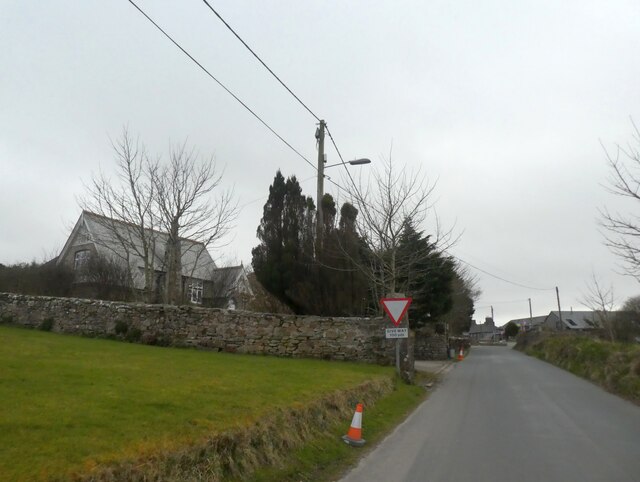
Bolventor is a small village located in the county of Cornwall, southwest England. Situated on the eastern edge of Bodmin Moor, it is known for its picturesque surroundings and its unique charm. With a population of around 200 residents, Bolventor offers a peaceful and tranquil atmosphere.

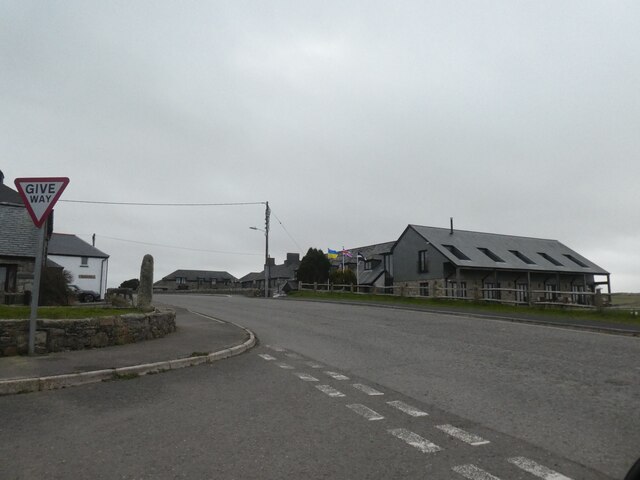
The village is famous for being the setting of Sir Arthur Conan Doyle's novel "The Hound of the Baskervilles," and the Jamaica Inn, a historic coaching inn that dates back to the 18th century. The inn, which serves as a popular tourist attraction, offers visitors a glimpse into Cornwall's smuggling history and provides accommodation, food, and a museum.

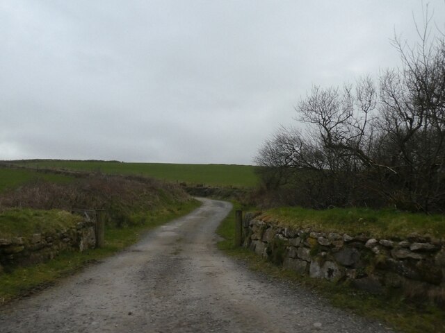
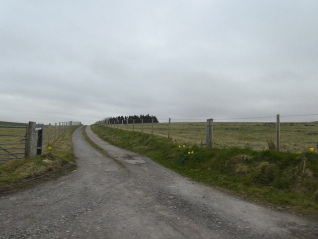
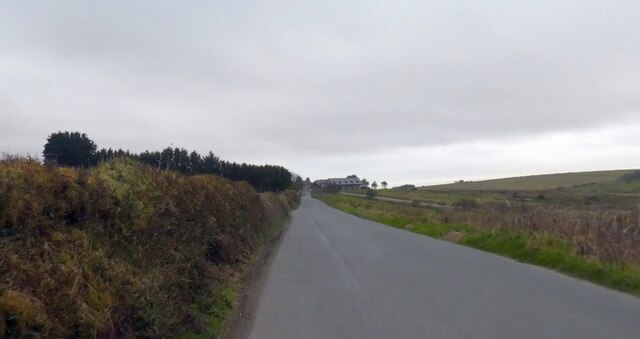
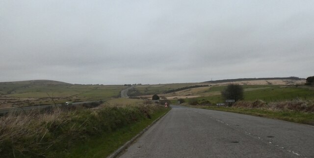
Bolventor is surrounded by the rugged beauty of Bodmin Moor, a vast expanse of moorland known for its rich history and diverse wildlife. The area offers numerous walking and hiking trails, allowing visitors to explore the unique landscape and discover ancient stone circles, Bronze Age settlements, and Neolithic burial sites.

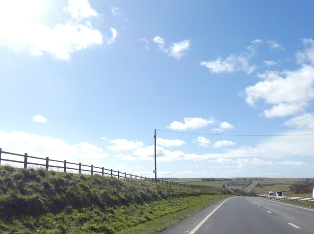
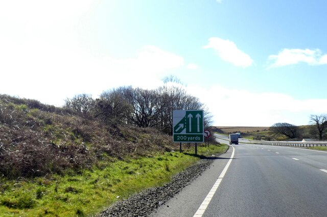
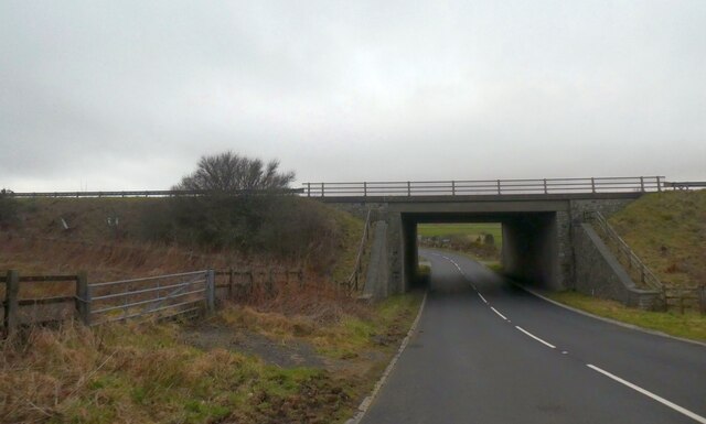
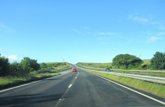
Despite its small size, Bolventor boasts a sense of community and offers a range of amenities for residents and visitors alike. These include a local pub, a village hall, and a small primary school. The village's close proximity to the A30, a major road connecting Cornwall to the rest of the country, also provides easy access to nearby towns and attractions.

Overall, Bolventor offers a peaceful retreat for those seeking to immerse themselves in Cornwall's natural beauty and rich history.

If you have any feedback on the listing, please let us know in the comments section below.

Bolventor Images

Images are sourced within 2km of 50.561745/-4.564275 or Grid Reference SX1876. Thanks to Geograph Open Source API. All images are credited.

Minzies Downs Tin Streamwork <span class="nowrap"><a title="https://earlytin.wordpress.com/surveys/minzies-down-alluvial-streamwork/" rel="nofollow ugc noopener" href="https://earlytin.wordpress.com/surveys/minzies-down-alluvial-streamwork/">Link</a><img style="margin-left:2px;" alt="External link" title="External link - shift click to open in new window" src="https://s1.geograph.org.uk/img/external.png" width="10" height="10"/></span>
Minzies Downs Tin Streamwork
Minzies Downs Tin Streamwork Jamaica Inn can be seen in the background along with the original A30 <span class="nowrap"><a title="https://earlytin.wordpress.com/surveys/minzies-down-alluvial-streamwork/" rel="nofollow ugc noopener" href="https://earlytin.wordpress.com/surveys/minzies-down-alluvial-streamwork/">Link</a><img style="margin-left:2px;" alt="External link" title="External link - shift click to open in new window" src="https://s1.geograph.org.uk/img/external.png" width="10" height="10"/></span>
Minzies Downs Tin Streamwork
Jamaica Inn can be seen in the background along with the original A30 LinkExternal link
Old Boundary Marker beside the Redgate to Bolventor road Parish Boundary Marker on the west side of the minor road from Redgate to Bolventor, approximately 100 metres south of the lane leading to the farmhouse called Littleworth.

This stone is unmarked but appears to be indicating the boundary of St Neot and Altarnun parishes. No other similar stones have been located in the valley of the River Fowey between Bolventor and Redgate. Shown on the Ordnance Survey 6" maps dated 1882 and 1907, and on the Ordnance Survey 25" maps dated 1882 and 1907.

Milestone Society National ID: CW_NEOALT01pb
Old Boundary Marker beside the Redgate to Bolventor road
Parish Boundary Marker on the west side of the minor road from Redgate to Bolventor, approximately 100 metres south of the lane leading to the farmhouse called Littleworth. This stone is unmarked but appears to be indicating the boundary of St Neot and Altarnun parishes. No other similar stones have been located in the valley of the River Fowey between Bolventor and Redgate. Shown on the Ordnance Survey 6" maps dated 1882 and 1907, and on the Ordnance Survey 25" maps dated 1882 and 1907. Milestone Society National ID: CW_NEOALT01pb
A30 on Webbs Down The A30 is 284 miles long, from central London to Land's End, historically known as the Great South West Road. The M3 and A303 now are the preferred route for most travellers. Only part of the road is still a trunk road.
Wikipedia: <span class="nowrap"><a title="http://en.wikipedia.org/wiki/A30_road" rel="nofollow ugc noopener" href="http://en.wikipedia.org/wiki/A30_road">Link</a><img style="margin-left:2px;" alt="External link" title="External link - shift click to open in new window" src="https://s1.geograph.org.uk/img/external.png" width="10" height="10"/></span>
A30 on Webbs Down
The A30 is 284 miles long, from central London to Land's End, historically known as the Great South West Road. The M3 and A303 now are the preferred route for most travellers. Only part of the road is still a trunk road. Wikipedia: LinkExternal link
A30 on Bodmn Moor, near Jamaica Inn The A30 is 284 miles long, from central London to Land's End, historically known as the Great South West Road. The M3 and A303 now are the preferred route for most travellers. Only part of the road is still a trunk road.
Wikipedia: <span class="nowrap"><a title="http://en.wikipedia.org/wiki/A30_road" rel="nofollow ugc noopener" href="http://en.wikipedia.org/wiki/A30_road">Link</a><img style="margin-left:2px;" alt="External link" title="External link - shift click to open in new window" src="https://s1.geograph.org.uk/img/external.png" width="10" height="10"/></span>
A30 on Bodmn Moor, near Jamaica Inn
The A30 is 284 miles long, from central London to Land's End, historically known as the Great South West Road. The M3 and A303 now are the preferred route for most travellers. Only part of the road is still a trunk road. Wikipedia: LinkExternal link
Access road on Dozmaryhill
Track to Dozmary Pool
Road to Littleworth on Dozmary Downs
Road to Dozmary Downs
Road to Todda Park Depending on which map you choose, this could be Toddy Park or, on older maps, Toddapark
Road to Todda Park
Depending on which map you choose, this could be Toddy Park or, on older maps, Toddapark
Road to Jamaica Inn and Bolventor from the south-east
Entering Bolventor from the south-east
Jamaica Inn
Jamaica Inn
Slip road to A30 from Jamaica Inn
Underpass bemeath A30; for link to eastbound A30 The A30 is 284 miles long, from central London to Land's End, historically known as the Great South West Road. The M3 and A303 now are the preferred route for most travellers. Only part of the road is still a trunk road.
Wikipedia: <span class="nowrap"><a title="http://en.wikipedia.org/wiki/A30_road" rel="nofollow ugc noopener" href="http://en.wikipedia.org/wiki/A30_road">Link</a><img style="margin-left:2px;" alt="External link" title="External link - shift click to open in new window" src="https://s1.geograph.org.uk/img/external.png" width="10" height="10"/></span>
Underpass bemeath A30; for link to eastbound A30
The A30 is 284 miles long, from central London to Land's End, historically known as the Great South West Road. The M3 and A303 now are the preferred route for most travellers. Only part of the road is still a trunk road. Wikipedia: LinkExternal link
The A30 west at turn for Jamaica Inn
The A30 west at Jamaica Inn
The A30 west on Bodmin Moor
Show me another place!

Bolventor is located at Grid Ref: SX1876 (Lat: 50.561745, Lng: -4.564275)

Unitary Authority: Cornwall

Police Authority: Devon and Cornwall

What 3 Words

///mimic.overused.dash. Near Trewen, Cornwall

Nearby Locations

Bolventor

Related Wikis

Bolventor

Bolventor (Cornish: Bedhasbold) is a hamlet on Bodmin Moor in Cornwall, England, United Kingdom. It is situated in Altarnun civil parish between Launceston...
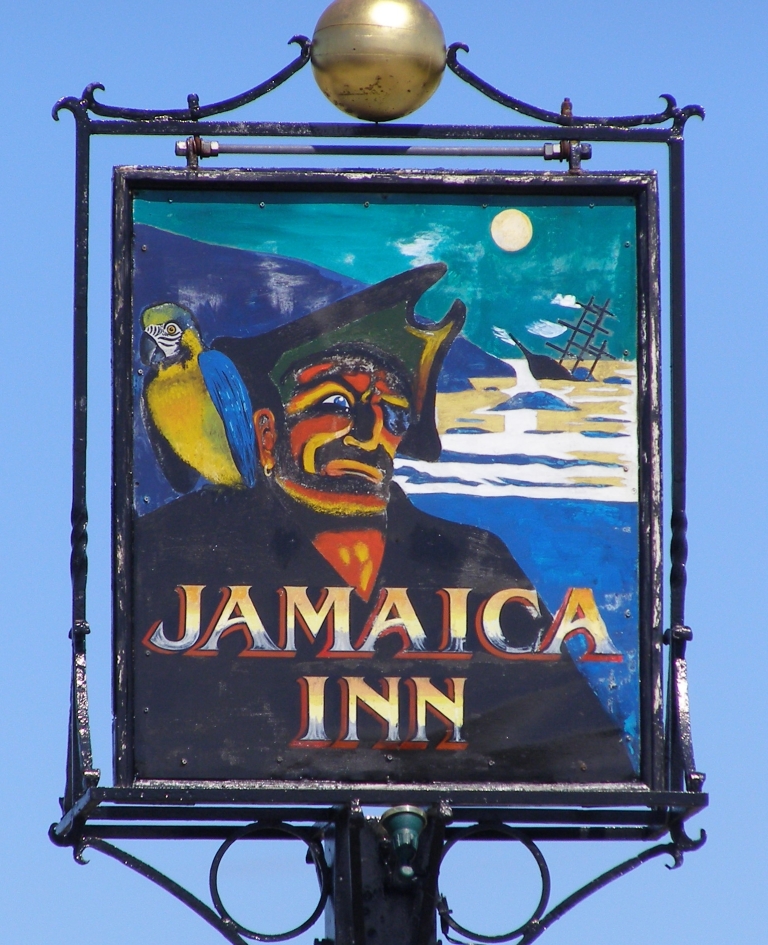
Jamaica Inn

The Jamaica Inn is a traditional inn on Bodmin Moor in Cornwall in the UK, which was built as a coaching inn in 1750, and has a historical association...

Palmersbridge

Palmersbridge is a hamlet on the A30 main road northeast of Bolventor in Cornwall, England, UK. == References ==

Holy Trinity Church, Bolventor

Holy Trinity Church is a former Church of England church in Bolventor, Cornwall, England, UK. It was built in 1846–48 and served as the parish church of...

Nearby Amenities

Located within 500m of 50.561745,-4.564275
Pub
Jamaica Inn
Website: https://www.jamaicainn.co.uk/
Wikidata: Q1328052
Lat/Long: 50.5623382/-4.5667291
Bolventor
Is In: Cornwall, England, UK
Name Kw: Bedheshardh
Place: hamlet
Wikidata: Q4940290
Lat/Long: 50.5621717/-4.5653774
Bus Stop
Jamaica Inn
Bus: yes
Naptan AtcoCode: 0800COC31771
Naptan Bearing: SW
Naptan CommonName: Jamaica Inn
Naptan Indicator: Opp
Naptan NaptanCode: cordpawg
Naptan Street: Unclassified
Naptan Verified: no
Public Transport: platform
Source: naptan_import
Lat/Long: 50.5620666/-4.5663474
Shop: gift
Source: Bing
Lat/Long: 50.5624683/-4.5663596
Jamaica Inn's Daphne du Maurier & Smuggling Museum
Addr City: Bolventord
Addr Housename: Jamaica Inn
Museum: history
Opening Hours: 08:00-21:00
Operator: Jamaica Inn
Tourism: museum
Website: https://www.jamaicainn.co.uk/cornwall-museum
Lat/Long: 50.5621516/-4.5667137
War Memorial
Historic: memorial
Image: https://www.flickr.com/photos/33766294@N03/22166760515
Memorial: war_memorial
Lat/Long: 50.5620795/-4.5661993
Barrier: yes
Lat/Long: 50.561351/-4.5654851
Historic: wreck
Seamark Type: wreck
Lat/Long: 50.5626946/-4.5667666
Telephone
Booth: K6
Covered: booth
Man Made: telephone_box
Lat/Long: 50.5622546/-4.5670863
Post Box
Operator: Royal Mail
Operator Wikidata: Q638098
Post Box Type: pillar
Royal Cypher: EIIR
Royal Cypher Wikidata: Q33102113
Lat/Long: 50.5622494/-4.5670997
The data included in this document is from www.openstreetmap.org. The data is made available under ODbL.

Have you been to Bolventor?

Leave your review of Bolventor below (or comments, questions and feedback).