Sutton Marsh

Settlement in Herefordshire

England

Sutton Marsh

The  Cross Keys Inn On the A465 at Cross Keys
The Cross Keys Inn Credit: Eirian Evans

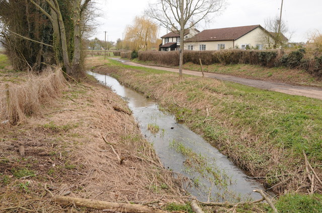
Sutton Marsh is a picturesque village located in the county of Herefordshire, England. Situated in the western part of the county, it sits on the banks of the River Wye, surrounded by lush greenery and rolling hills. The village is part of the Wye Valley Area of Outstanding Natural Beauty, renowned for its stunning landscapes and diverse flora and fauna.

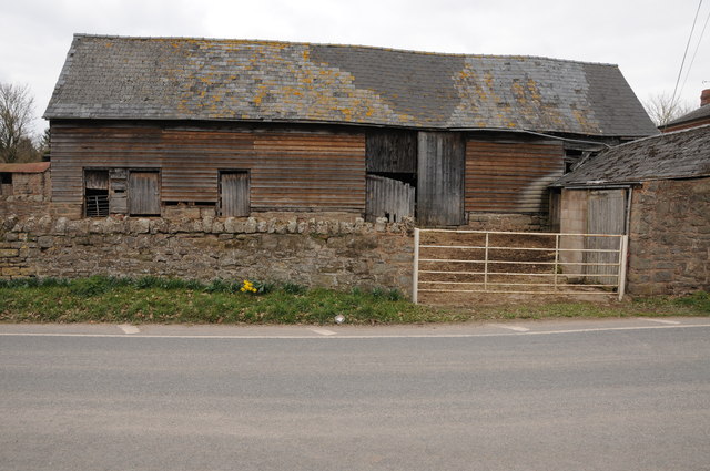
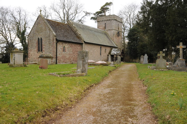
Sutton Marsh boasts a rich history, with evidence of human settlement dating back to the prehistoric era. The village is home to several historic buildings, including St. Mary's Church, a medieval structure that showcases architectural elements from different periods. The church is a notable landmark, attracting visitors for its beautiful stained glass windows and peaceful atmosphere.

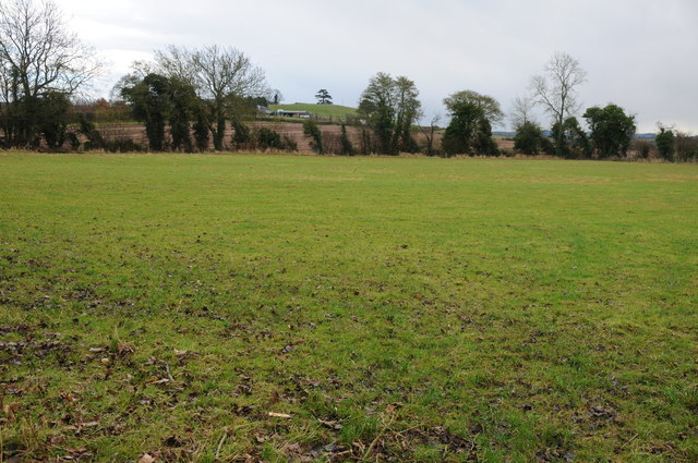
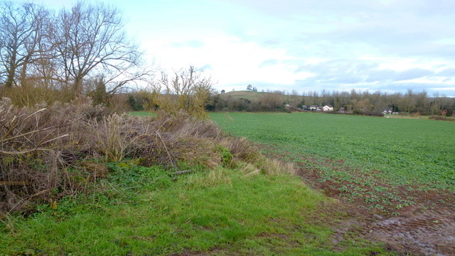
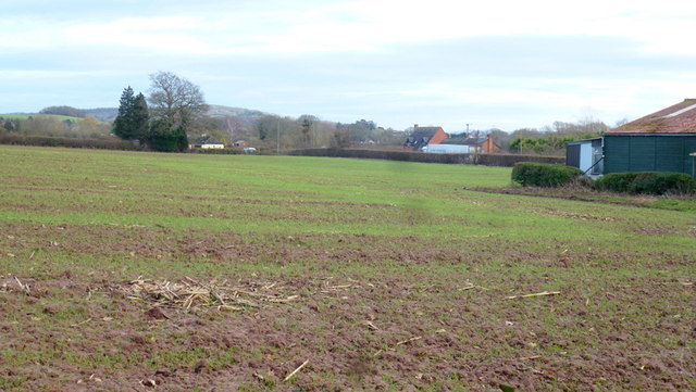
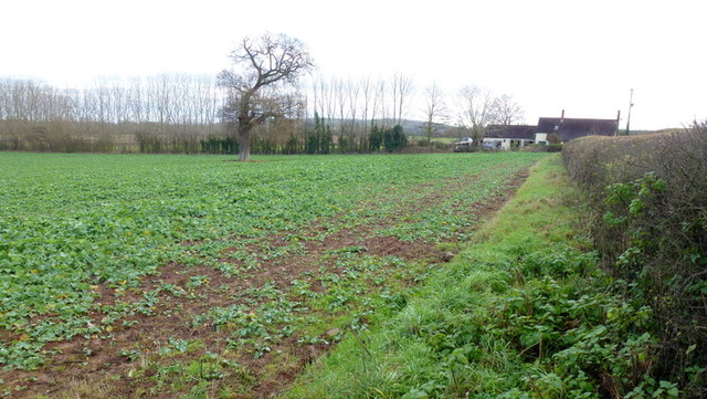
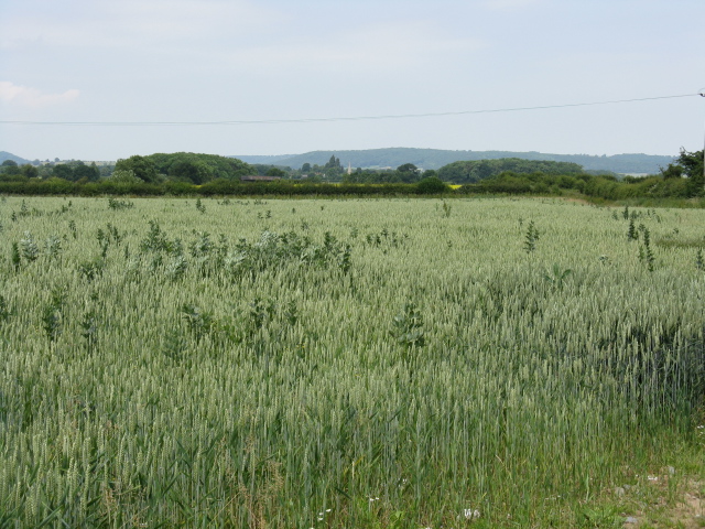
The village is known for its agricultural heritage, with many farms and fields dotting the surrounding countryside. The fertile land supports a variety of crops, including fruit orchards, grains, and vegetable gardens. Sutton Marsh is particularly famous for its apple orchards, which produce high-quality cider apples that are used by local cider makers.

The village offers a tranquil and idyllic setting for residents and visitors alike, with numerous walking trails and footpaths that allow exploration of the surrounding natural beauty. The nearby River Wye provides opportunities for leisure activities such as fishing, boating, and picnicking along its banks.

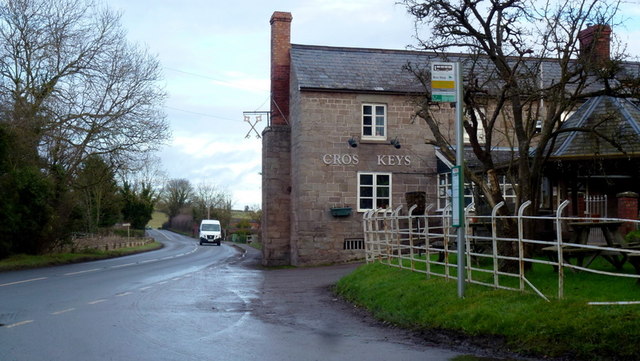
Sutton Marsh is a close-knit community, with a small population that fosters a friendly and welcoming atmosphere. The village is well-connected to larger towns and cities in the region, making it an attractive place to live for those seeking a peaceful rural lifestyle without sacrificing convenience.

If you have any feedback on the listing, please let us know in the comments section below.
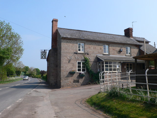
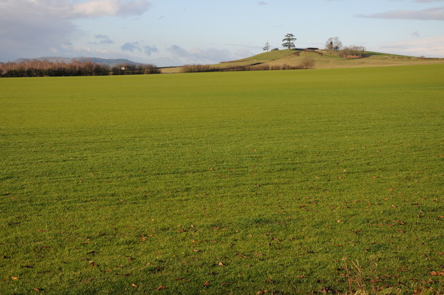
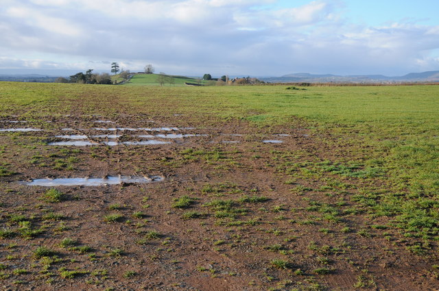
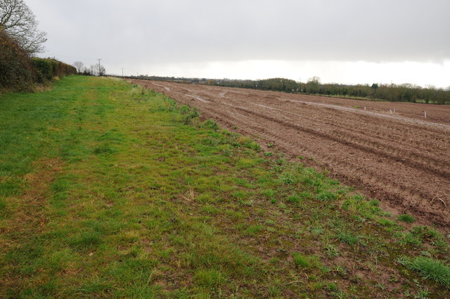
Sutton Marsh Images

Images are sourced within 2km of 52.095592/-2.6639413 or Grid Reference SO5444. Thanks to Geograph Open Source API. All images are credited.

The  Cross Keys Inn On the A465 at Cross Keys
The Cross Keys Inn
On the A465 at Cross Keys
View to Thing Hill View across a field north of Withington, the field has the appearance of a turf field.  The hill in the middle distance on the right has the curious name of Thing Hill.
View to Thing Hill
View across a field north of Withington, the field has the appearance of a turf field. The hill in the middle distance on the right has the curious name of Thing Hill.
Farmland and Thing Hill View across farmland to Thing Hill.
Farmland and Thing Hill
View across farmland to Thing Hill.
Field headland Field headland and bridleway near Thing-hill Grange near Sutton St Nicholas.
Field headland
Field headland and bridleway near Thing-hill Grange near Sutton St Nicholas.
Field near Sutton St Nicholas View across a field near Sutton St Nicholas to Thing-hill Farm.
Field near Sutton St Nicholas
View across a field near Sutton St Nicholas to Thing-hill Farm.
River Lugg near Shelwick Green A swollen River Lugg pictured near Shelwick Green.
River Lugg near Shelwick Green
A swollen River Lugg pictured near Shelwick Green.
Lugg meadowland Lugg meadowland to the north of Shelwick.
Lugg meadowland
Lugg meadowland to the north of Shelwick.
Ditch and no through road Ditch and no through road at Sutton Rhea, to the south of Sutton St Nicholas.
Ditch and no through road
Ditch and no through road at Sutton Rhea, to the south of Sutton St Nicholas.
Lumber Lane, Eau Withington Lumber Lane links the A465 with the A4103.
Lumber Lane, Eau Withington
Lumber Lane links the A465 with the A4103.
Barn at Sutton St Nicholas Timber barn on a farm opposite Sutton St Nicholas church.
Barn at Sutton St Nicholas
Timber barn on a farm opposite Sutton St Nicholas church.
Sutton St Nicholas church Dedicated not surprisingly to St Nicholas.  Revisiting almost seven years to the day since my last visit <a href="https://www.geograph.org.uk/photo/146817">SO5345 : Sutton St Nicholas Church</a>
Sutton St Nicholas church
Dedicated not surprisingly to St Nicholas. Revisiting almost seven years to the day since my last visit SO5345 : Sutton St Nicholas Church
Wergins Bridge An early example of a reinforced concrete bridge and a rare example using the Kahn system of construction. Single arch bridge built in 1913 to replace an earlier bridge. The span is 50' over the River Lugg and it is 26' wide. The mass concrete aprons protect against the scour of the river bed. There is a recently erected plaque celebrating its centenary.
Wergins Bridge
An early example of a reinforced concrete bridge and a rare example using the Kahn system of construction. Single arch bridge built in 1913 to replace an earlier bridge. The span is 50' over the River Lugg and it is 26' wide. The mass concrete aprons protect against the scour of the river bed. There is a recently erected plaque celebrating its centenary.
Wergins Bridge - centenary plaque
Withington Marsh and Thing Hill View north from Veldo Lane.
Withington Marsh and Thing Hill
View north from Veldo Lane.
Withington farmland Traffic on the A4103 Worcester Road can be seen.
Withington farmland
Traffic on the A4103 Worcester Road can be seen.
Arable land, Withington Marsh A well-established crop of rape in this field.
Arable land, Withington Marsh
A well-established crop of rape in this field.
The Cros' Keys Inn, Withington Marsh Alongside the not-so-busy A465 Bromyard road.
In 2011 the pub had a missing 'O'! <a href="https://www.geograph.org.uk/photo/2748120">SO5544 : The  Cross Keys Inn</a>
The Cros' Keys Inn, Withington Marsh
Alongside the not-so-busy A465 Bromyard road. In 2011 the pub had a missing 'O'! SO5544 : The Cross Keys Inn
Bridleway onto Sutton Marsh Part of the Lugg floodplain.
Bridleway onto Sutton Marsh
Part of the Lugg floodplain.
Show me another place!

Sutton Marsh is located at Grid Ref: SO5444 (Lat: 52.095592, Lng: -2.6639413)

Unitary Authority: County of Herefordshire

Police Authority: West Mercia

What 3 Words

///machinery.prune.clutches. Near Sutton, Herefordshire

Related Wikis

Preston Wynne

Preston Wynne is a small village and civil parish in Herefordshire, England. Civil parish population at the 2011 census was 172. Preston Wynne is 5 miles...

Sutton, Herefordshire

Sutton is a civil parish in Herefordshire, England, about 3 miles (5 km) north-east from the county town and city of Hereford. The major settlement is...
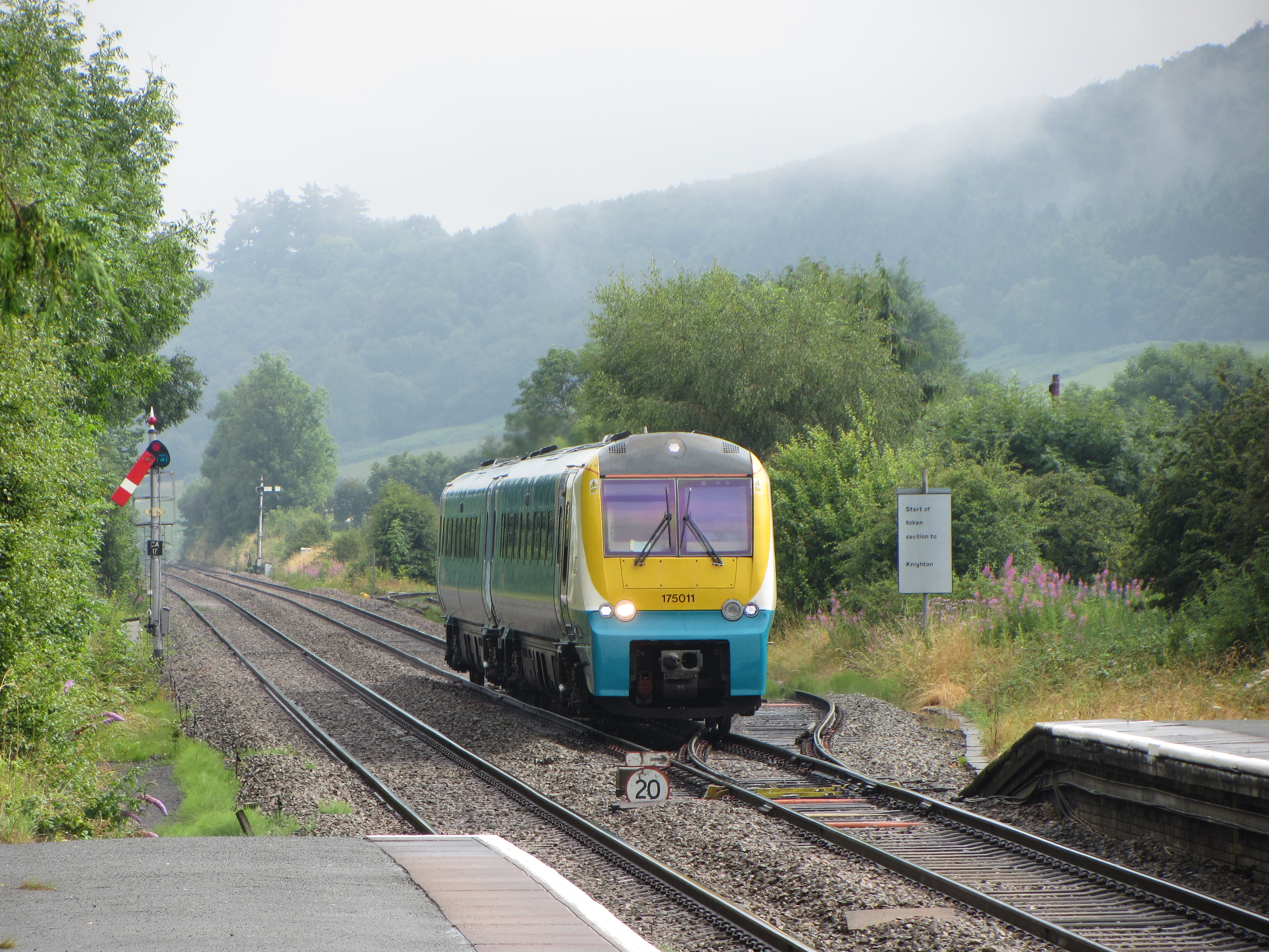
Welsh Marches line

The Welsh Marches line (Welsh: Llinell y Mers), known historically as the North and West Route, is the railway line running from Newport in south-east...

Withington, Herefordshire

Withington is a village and civil parish in Herefordshire, England, about 5 miles (8 km) north-east of Hereford at grid reference SO563431. == History... ==

Sutton Camera

Sutton Camera was a priory in Herefordshire, England at grid reference SO52654582. == References ==

Withington railway station (Herefordshire)

Withington railway station was a station in Withington, Herefordshire, England. The station was opened in 1861 and closed in 1961 == References == ��2...

Lower Lyde

Lower Lyde is a small village in Herefordshire, around 3 miles (5 km) north of Hereford city centre. It forms part of the Pipe and Lyde civil parish....

Sutton Walls Hill Fort

Sutton Walls Hillfort is an elongated ovoid Iron Age Hill fort located four miles north of the city of Hereford, England. It was added to the Sites and...

Nearby Amenities

Located within 500m of 52.095592,-2.6639413
Sutton Marsh
Place: locality
Lat/Long: 52.0942338/-2.6639902
The data included in this document is from www.openstreetmap.org. The data is made available under ODbL.

Have you been to Sutton Marsh?

Leave your review of Sutton Marsh below (or comments, questions and feedback).