Bolton Muir
Settlement in East Lothian
Scotland
Bolton Muir
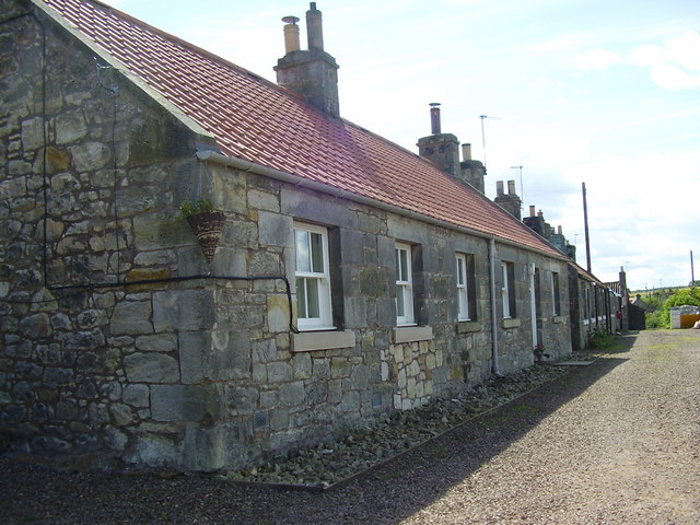
Bolton Muir is a small village located in East Lothian, Scotland. Situated approximately 10 miles east of Edinburgh, it is nestled amidst the picturesque countryside of the region. With a population of around 500 residents, Bolton Muir exudes a peaceful and close-knit community atmosphere.
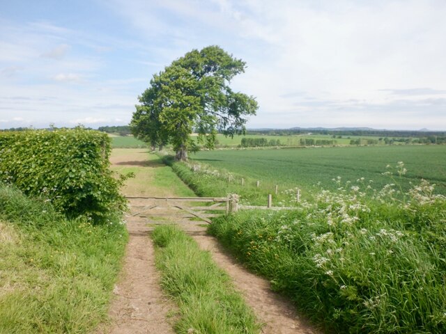
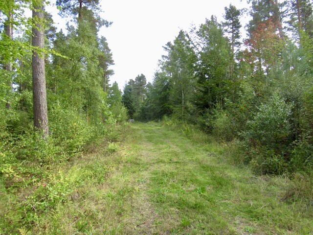
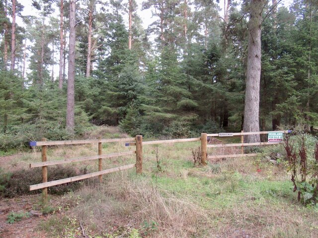
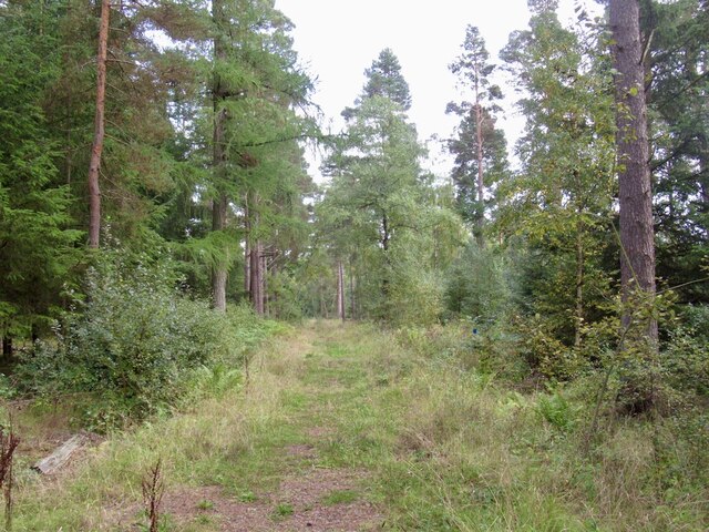
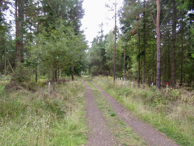
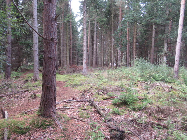
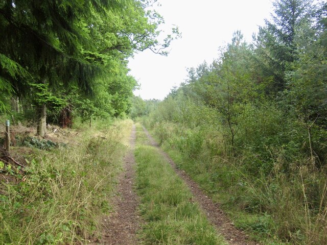
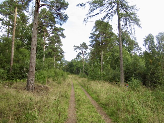
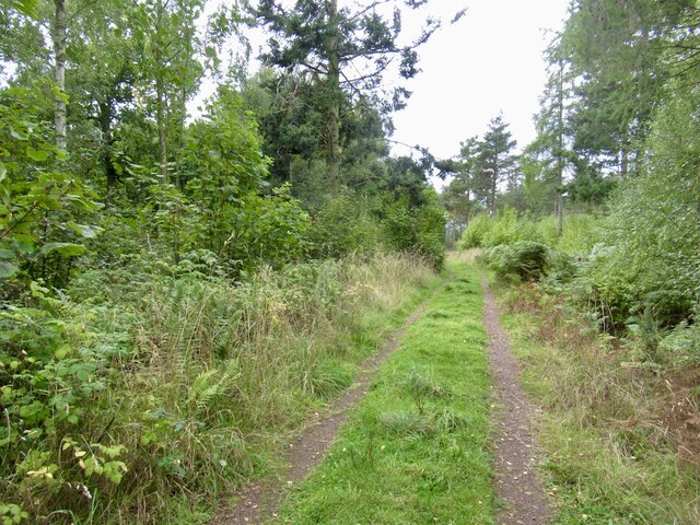
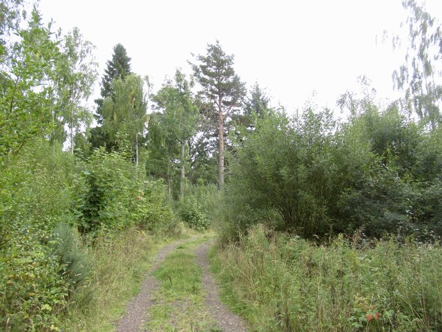
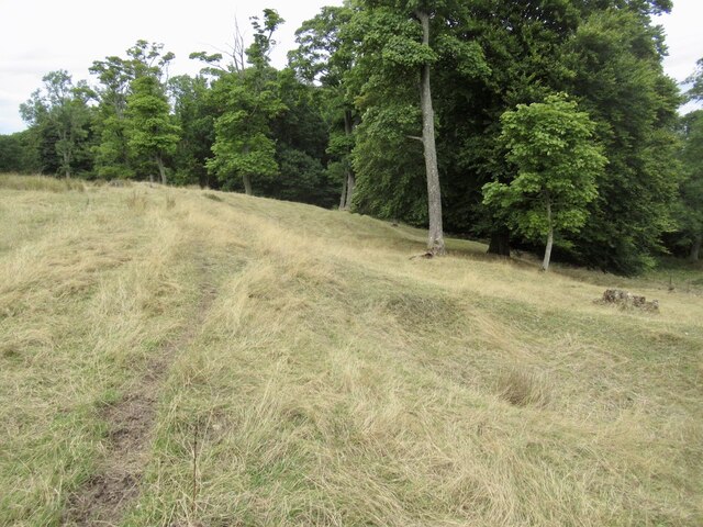
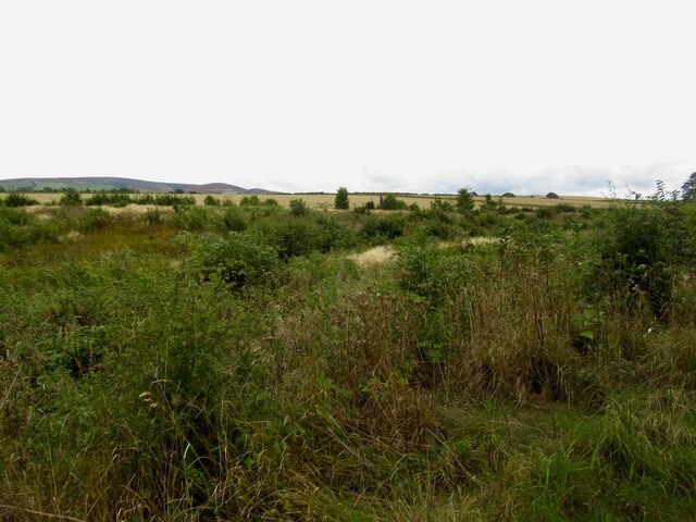
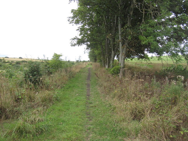
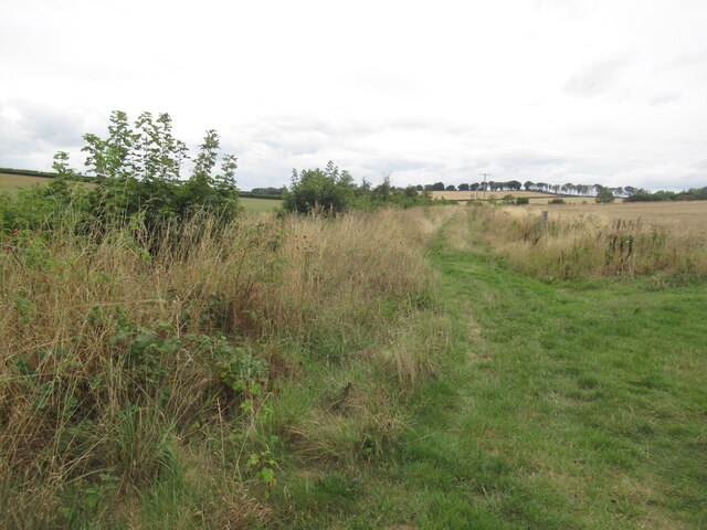
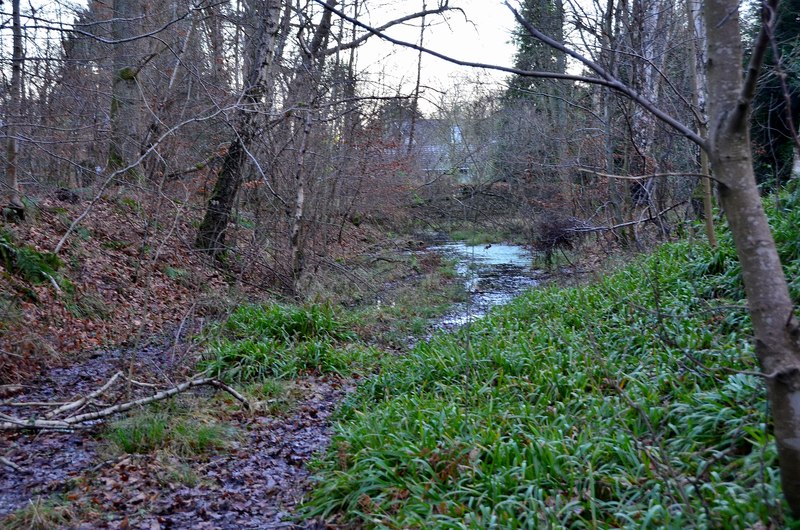
Surrounded by rolling hills and lush green fields, the village offers stunning natural beauty and a tranquil environment. It is known for its scenic walking trails and outdoor recreational opportunities, attracting nature enthusiasts and hikers. The nearby Bolton Reservoir is a popular spot for fishing and birdwatching.
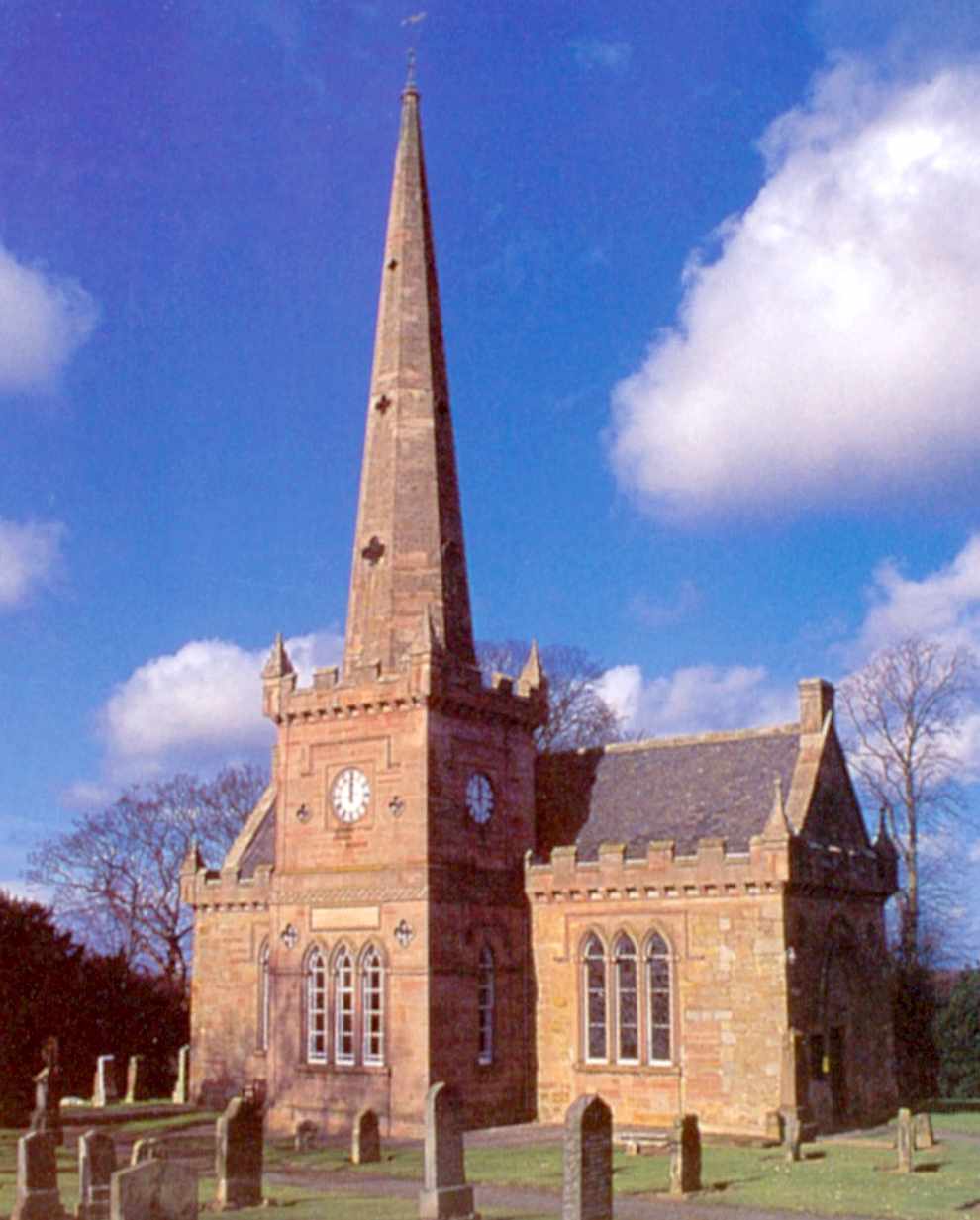
Bolton Muir boasts a rich history, with several historic landmarks and sites of interest. The village is home to a 15th-century church, St. Kentigern's, which stands as a testament to the area's long-standing religious heritage. Additionally, remnants of ancient settlements and burial mounds have been discovered in the surrounding area, providing insight into the village's historical significance.
Despite its small size, Bolton Muir offers essential amenities to its residents. The village has a local primary school, ensuring educational opportunities for young children. Additionally, a community center hosts various events and activities, fostering a sense of community engagement.
Transportation in Bolton Muir primarily relies on private vehicles, as the village is not served by a railway station. However, its proximity to the A1 road provides easy access to nearby towns and cities. Overall, Bolton Muir is a charming village that offers a peaceful retreat from the bustling urban areas, showcasing the natural beauty and historical heritage of East Lothian.
If you have any feedback on the listing, please let us know in the comments section below.
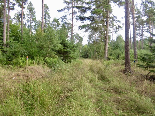
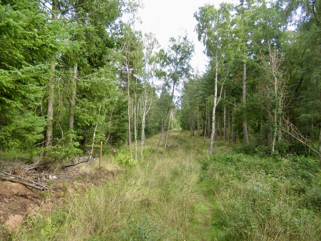
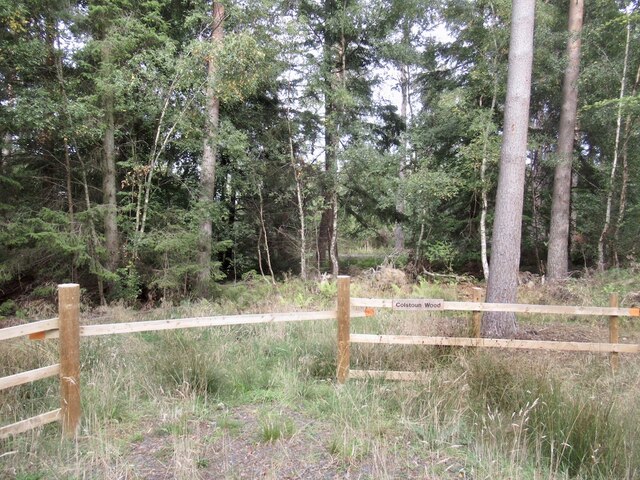
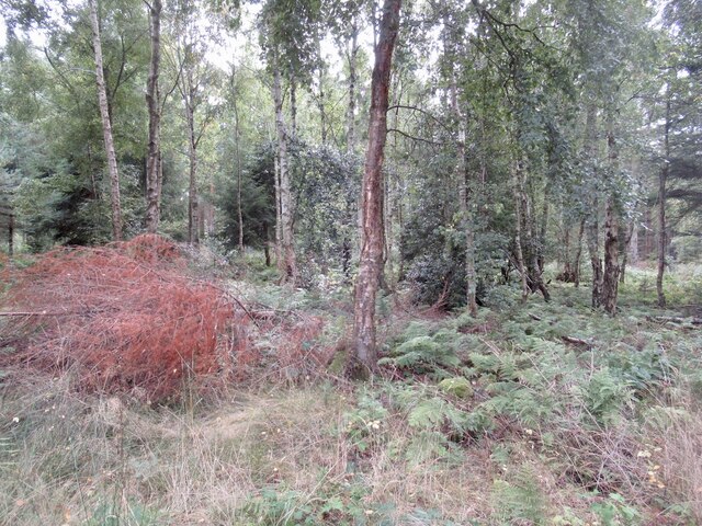
Bolton Muir Images
Images are sourced within 2km of 55.902504/-2.8012438 or Grid Reference NT5068. Thanks to Geograph Open Source API. All images are credited.
Bolton Muir is located at Grid Ref: NT5068 (Lat: 55.902504, Lng: -2.8012438)
Unitary Authority: East Lothian
Police Authority: The Lothians and Scottish Borders
What 3 Words
///braved.encoding.open. Near Pencaitland, East Lothian
Nearby Locations
Related Wikis

Bolton, East Lothian
Bolton is a hamlet and the third smallest parish in East Lothian, Scotland. It lies approximately 2 miles (3.2 km) south of Haddington and 20 miles (32...

Bolton Parish Church, East Lothian
Bolton Parish Church is a church in Bolton, East Lothian, Scotland. It is part of the Church of Scotland and (along with Yester Church Saltoun Parish Church...
Saltoun Parish Church
Saltoun Parish Church is a church in East Saltoun, East Lothian, Scotland. It is part of the Church of Scotland, and (along with Yester Church and Bolton...
Gifford railway station
Gifford railway station served the village of Gifford, East Lothian, Scotland, from 1901 to 1933 on the Macmerry Branch. == History == The station was...

East Saltoun and West Saltoun
East Saltoun and West Saltoun are separate villages in East Lothian, Scotland, about 5 miles (8.0 kilometres) south-west of Haddington and 20 miles (32...

Herdmanston House
Herdmanston House was a castle and later tower house located in the parish of Saltoun, East Lothian in Scotland.The lands of Herdmanston were held by the...

Gifford Town Hall
Gifford Town Hall is a municipal building in The Square, Gifford, East Lothian, Scotland. The structure, which is used as a community events venue, is...
Samuelston
Samuelston (Scots: Sammelstoun) is a small town just outside of Haddington, East Lothian. It has a population of 957. George Ker, laird of Samuelston,...
Nearby Amenities
Located within 500m of 55.902504,-2.8012438Have you been to Bolton Muir?
Leave your review of Bolton Muir below (or comments, questions and feedback).