Sutton Crosses
Settlement in Lincolnshire South Holland
England
Sutton Crosses

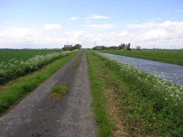
Sutton Crosses is a small village located in the county of Lincolnshire, England. Situated approximately 5 miles northeast of the town of Spilsby, the village is nestled amidst picturesque countryside, offering residents and visitors a tranquil and idyllic setting.
The name "Sutton Crosses" is derived from the presence of two ancient stone crosses that stand at the junction of two roads in the village. These crosses, believed to date back to the medieval period, are of significant historical and architectural interest. They serve as a reminder of the village's rich heritage and provide a focal point for locals and tourists alike.
The village itself is characterized by its charming rustic cottages and traditional architecture, giving it a quintessentially English countryside feel. The surrounding landscape is predominantly agricultural, with lush fields and rolling hills stretching as far as the eye can see.
Despite its small size, Sutton Crosses boasts a close-knit community that takes great pride in its village. The residents actively participate in local events and initiatives, fostering a strong sense of community spirit.
A notable landmark in the vicinity of Sutton Crosses is the Lincolnshire Wolds, an Area of Outstanding Natural Beauty. This stunning landscape offers ample opportunities for outdoor enthusiasts, with numerous walking and cycling trails to explore.
Overall, Sutton Crosses is a charming village steeped in history and surrounded by scenic beauty. It provides a peaceful retreat for those seeking a break from the hustle and bustle of modern life, while also offering a gateway to the natural wonders of Lincolnshire.
If you have any feedback on the listing, please let us know in the comments section below.
Sutton Crosses Images
Images are sourced within 2km of 52.766408/0.121764 or Grid Reference TF4320. Thanks to Geograph Open Source API. All images are credited.


Sutton Crosses is located at Grid Ref: TF4320 (Lat: 52.766408, Lng: 0.121764)
Division: Parts of Holland
Administrative County: Lincolnshire
District: South Holland
Police Authority: Lincolnshire
What 3 Words
///allies.unafraid.riches. Near Sutton Bridge, Lincolnshire
Nearby Locations
Related Wikis

Low Fulney
Low Fulney is a hamlet in the South Holland district of Lincolnshire, England. It is in the Spalding St. Paul's ward of the South Holland District Council...

Long Sutton railway station
Long Sutton railway station was a station in Long Sutton, Lincolnshire, England. It was part of the Midland and Great Northern Joint Railway which closed...

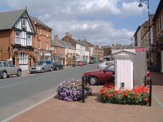
Long Sutton, Lincolnshire
Long Sutton is a market town in the South Holland district of Lincolnshire, England. It lies in The Fens, close to the Wash, 13 miles (21 km) east of Spalding...
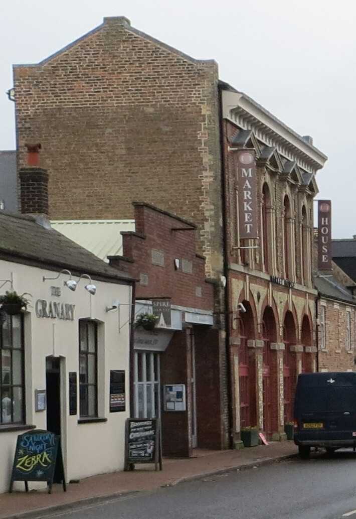
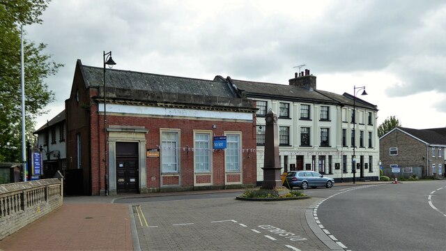
Long Sutton Market House
Long Sutton Market House, also known as Long Sutton Market House and Corn Exchange, is a commercial building in Market Street in Long Sutton, Lincolnshire...

Tydd St Mary
Tydd St Mary is a village and civil parish in the South Holland district of Lincolnshire, England, about 9 miles (14 km) east of the town of Spalding and...

Little Sutton, Lincolnshire
Little Sutton is a small civil parish, containing a few farms and a few houses, lying between the much larger parishes of Long Sutton and Sutton Bridge...
University Academy Long Sutton
University Academy Long Sutton (formerly The Peele Community College) is a co-educational secondary school located in Long Sutton in the English county...

Gedney Broadgate
Gedney Broadgate is a hamlet in the civil parish of Gedney and the South Holland district of Lincolnshire, England. It is situated west from the A17 road...
Nearby Amenities
Located within 500m of 52.766408,0.121764Hidden by hedge and faces E so can only be seen when traveling W along the spur from Roman Bank to Gimmels Gate.
40m W of phone box./Gimmels Gate (spur)
Have you been to Sutton Crosses?
Leave your review of Sutton Crosses below (or comments, questions and feedback).