Sutton Corner

Settlement in Lincolnshire South Holland

England

Sutton Corner

Lutton church
Lutton church Credit: Guy Erwood

Sutton Corner is a small village located in the county of Lincolnshire, in the East Midlands region of England. Situated approximately 7 miles south of the market town of Grantham, Sutton Corner is nestled in a rural setting surrounded by picturesque countryside.

The village is home to a close-knit community, with a population of around 500 residents. The majority of the houses in Sutton Corner are traditional stone cottages, which add to the village's charm and character. The village is known for its well-maintained gardens and floral displays, which contribute to its vibrant and welcoming atmosphere.

Sutton Corner boasts a few essential amenities, including a local pub, a village hall, and a small convenience store, providing residents with the basic necessities. However, for more extensive shopping or entertainment options, residents can easily access nearby towns and cities.

The village is also conveniently located near several natural attractions, such as the Belton House and Park, a stunning Grade I listed country house and estate, just a short drive away. Additionally, the Lincolnshire Wolds, an Area of Outstanding Natural Beauty, is within reach, offering opportunities for outdoor activities and exploration.

Sutton Corner benefits from excellent transport links, with the A1 road passing nearby, providing easy access to major cities such as Nottingham and Peterborough. The village is also served by regular bus services, connecting residents to neighboring towns and villages.

Overall, Sutton Corner offers a tranquil and idyllic place to reside, combining the beauty of the countryside with the convenience of nearby amenities and transport connections.

If you have any feedback on the listing, please let us know in the comments section below.

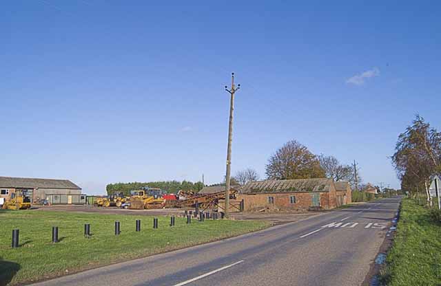
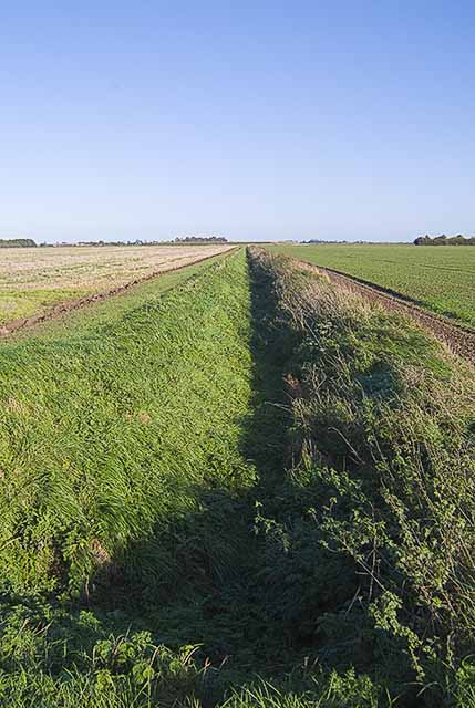
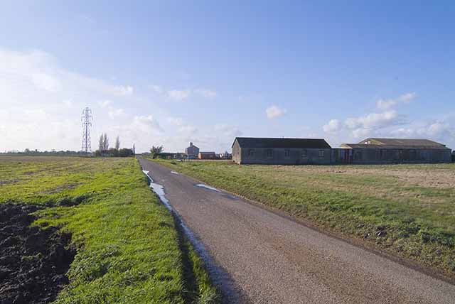
Sutton Corner Images

Images are sourced within 2km of 52.8223/0.1295 or Grid Reference TF4327. Thanks to Geograph Open Source API. All images are credited.

Lutton church
Lutton church
Tilsons Farm
Tilsons Farm
Drainage ditch
Drainage ditch
Middle Drove
Middle Drove
Lutton Church
Lutton Church
Pylon, South Drove, Lutton Gowts. One of the many pylons supporting power lines across Lutton Gowts. A 'gowt' was a go-out, or sluice.
Pylon, South Drove, Lutton Gowts.
One of the many pylons supporting power lines across Lutton Gowts. A 'gowt' was a go-out, or sluice.
Road Near Lutton Grange Farm A large lorry approaches.
Road Near Lutton Grange Farm
A large lorry approaches.
Country Roads This lorry really kicked up the dust as he passed by.
Country Roads
This lorry really kicked up the dust as he passed by.
A Large Lorry Approaches Demonstrating clearly why these roads are known as "single track".
A Large Lorry Approaches
Demonstrating clearly why these roads are known as "single track".
Dear Love Gate, near Sutton Corner House at the corner of Dear Love Gate.  Even houses needs a little "T.L.C.".
Dear Love Gate, near Sutton Corner
House at the corner of Dear Love Gate. Even houses needs a little "T.L.C.".
Three in a Row Three similar houses overlooking the ploughed field near the greenhouses.  The turbines from the Gedney Marsh Wind Farm <a href="https://www.geograph.org.uk/gridref/TF4228">TF4228</a> can be seen in the distance.
Three in a Row
Three similar houses overlooking the ploughed field near the greenhouses. The turbines from the Gedney Marsh Wind Farm TF4228 can be seen in the distance.
Greenhouses Near Sutton Corner A common sight in these parts.
Greenhouses Near Sutton Corner
A common sight in these parts.
Road Towards Gedney Dyke
View From Green Dike Gedney Marsh Wind Farm on the horizon <a href="https://www.geograph.org.uk/gridref/TF4228">TF4228</a>.
View From Green Dike
Gedney Marsh Wind Farm on the horizon TF4228.
Track And Drain Another farm track to add to the many I have uploaded. The Fens are so featureless.
Track And Drain
Another farm track to add to the many I have uploaded. The Fens are so featureless.
Wild rose, fenland road Looking south towards Red House Farm on a fine June morning.
Wild rose, fenland road
Looking south towards Red House Farm on a fine June morning.
White House Farm The gable end of the house can just be seen in this view from the Durham's Road junction of the B1359.
White House Farm
The gable end of the house can just be seen in this view from the Durham's Road junction of the B1359.
Sign post on the B1359 The road to the left also leads to RAF Holbeach bombing range.
Sign post on the B1359
The road to the left also leads to RAF Holbeach bombing range.
Show me another place!

Sutton Corner is located at Grid Ref: TF4327 (Lat: 52.8223, Lng: 0.1295)

Division: Parts of Holland

Administrative County: Lincolnshire

District: South Holland

Police Authority: Lincolnshire

What 3 Words

///outbid.brownish.succumbs. Near Fleet, Lincolnshire

Nearby Locations

Sutton Corner

Related Wikis

Lutton, Lincolnshire

Lutton (sometimes Lutton-Bourne) is a village and civil parish in the South Holland district of Lincolnshire, England. The population of the civil parish...

Gedney Dyke

Gedney Dyke is a village in the civil parish of Gedney and the South Holland district of Lincolnshire, England. It is 40 miles (64 km) south-east from...

University Academy Long Sutton

University Academy Long Sutton (formerly The Peele Community College) is a co-educational secondary school located in Long Sutton in the English county...

Gedney Drove End

Gedney Drove End is a village in the civil parish of Gedney and the South Holland district of Lincolnshire, England. It is 40 miles (64 km) south-east...

Nearby Amenities

Located within 500m of 52.8223,0.1295
Bus Stop
Crown Cottages
Bus: yes
Naptan AtcoCode: 270000009636
Naptan Bearing: SE
Naptan CommonName: Crown Cottages
Naptan Indicator: adj
Naptan Landmark: Crown Cottages
Naptan NaptanCode: linjdmgw
Naptan Street: Roman Bank
Naptan Verified: no
Public Transport: platform
Source: naptan_import
Lat/Long: 52.8225988/0.1294568
Bus Stop
Crown Cottages
Bus: yes
Naptan AtcoCode: 270000010571
Naptan Bearing: NW
Naptan CommonName: Crown Cottages
Naptan Indicator: opp
Naptan Landmark: Crown Cottages
Naptan NaptanCode: linjmwpg
Naptan Street: Roman Bank
Naptan Verified: no
Public Transport: platform
Source: naptan_import
Lat/Long: 52.8228834/0.1291293
Bus Stop
Middle Drove Farm
Bus: yes
Naptan AtcoCode: 270000010572
Naptan Bearing: W
Naptan CommonName: Middle Drove Farm
Naptan Indicator: opp
Naptan Landmark: Middle Drove Farm
Naptan NaptanCode: linjmwpj
Naptan Street: Middle Drove
Naptan Verified: no
Public Transport: platform
Source: naptan_import
Lat/Long: 52.8245022/0.1245922
Bus Stop
Middle Drove Farm
Bus: yes
Naptan AtcoCode: 2700LLBM3923
Naptan Bearing: E
Naptan CommonName: Middle Drove Farm
Naptan Indicator: adj
Naptan Landmark: Middle Drove Farm
Naptan NaptanCode: lindgpga
Naptan Street: Middle Drove
Naptan Verified: no
Public Transport: platform
Source: naptan_import
Lat/Long: 52.8245844/0.124522
Power: tower
Lat/Long: 52.819966/0.1239773
Power: tower
Lat/Long: 52.8188313/0.1285585
The data included in this document is from www.openstreetmap.org. The data is made available under ODbL.

Have you been to Sutton Corner?

Leave your review of Sutton Corner below (or comments, questions and feedback).