Summertown
Settlement in Oxfordshire Oxford
England
Summertown
Summertown is a vibrant residential suburb located in the city of Oxford, Oxfordshire, England. Situated about two miles north of Oxford's city center, Summertown offers a peaceful and picturesque environment while still providing easy access to the amenities of a bustling city.
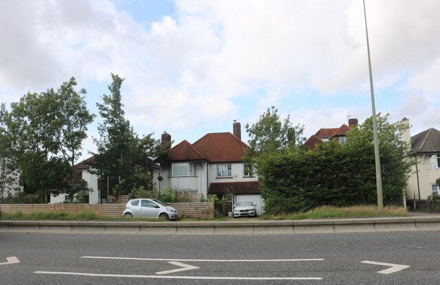
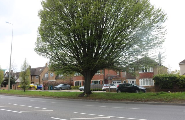
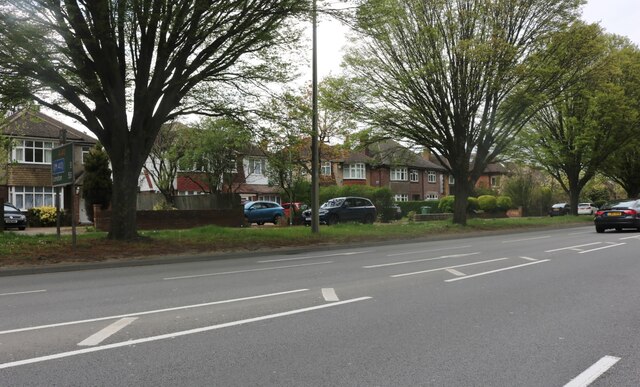
Known for its leafy streets and charming architecture, Summertown is a popular residential area for professionals, families, and students attending the nearby University of Oxford. The area features a mix of traditional Victorian and Edwardian houses, as well as modern apartments and townhouses.
Summertown offers a wide range of amenities and services, including a diverse selection of shops, boutiques, cafes, restaurants, and pubs. The area's main shopping street, Banbury Road, is lined with boutiques, bookstores, and supermarkets, providing residents with all the essentials within walking distance.
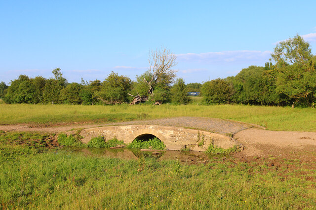
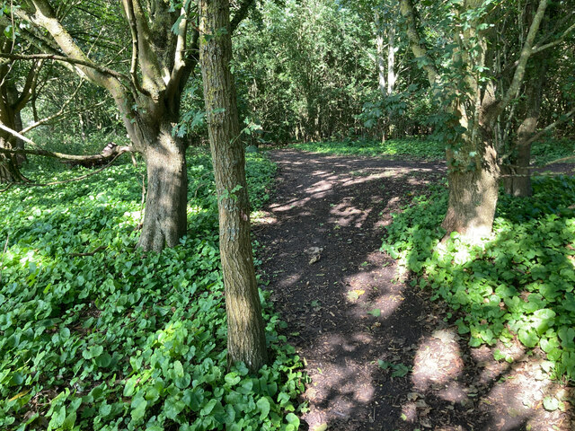
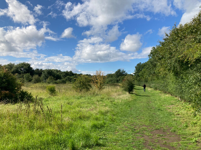
Nature lovers will appreciate Summertown's proximity to the stunning Port Meadow, a vast expanse of open grassland along the River Thames. This idyllic spot offers picturesque views, perfect for leisurely walks, picnics, or even a spot of birdwatching.
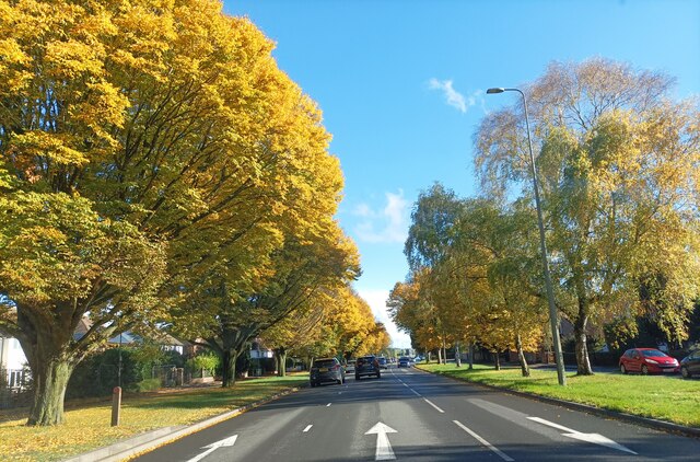
Summertown also benefits from excellent transport links, with regular bus services connecting the area to Oxford city center and other parts of the county. The nearby A40 road provides easy access to the wider Oxfordshire region and beyond.
In summary, Summertown offers a delightful blend of tranquility and convenience, making it an attractive place to live for those seeking a peaceful yet well-connected neighborhood in the heart of Oxfordshire.
If you have any feedback on the listing, please let us know in the comments section below.
Summertown Images
Images are sourced within 2km of 51.776371/-1.256406 or Grid Reference SP5108. Thanks to Geograph Open Source API. All images are credited.


Summertown is located at Grid Ref: SP5108 (Lat: 51.776371, Lng: -1.256406)
Administrative County: Oxfordshire
District: Oxford
Police Authority: Thames Valley
What 3 Words
///hint.pace.branch. Near Oxford, Oxfordshire
Nearby Locations
Related Wikis
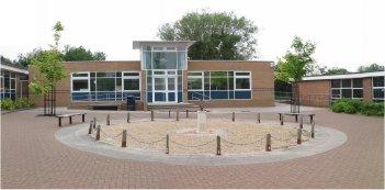
Cherwell School
The Cherwell School is a secondary school with academy status on the Marston Ferry Road in Oxford, England. The current school site was built in 1963 as...
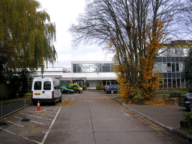
Oxford High School, England
Oxford High School is a private day school for girls in Oxford, England. It was founded by the Girls' Day School Trust in 1875, making it the city's oldest...
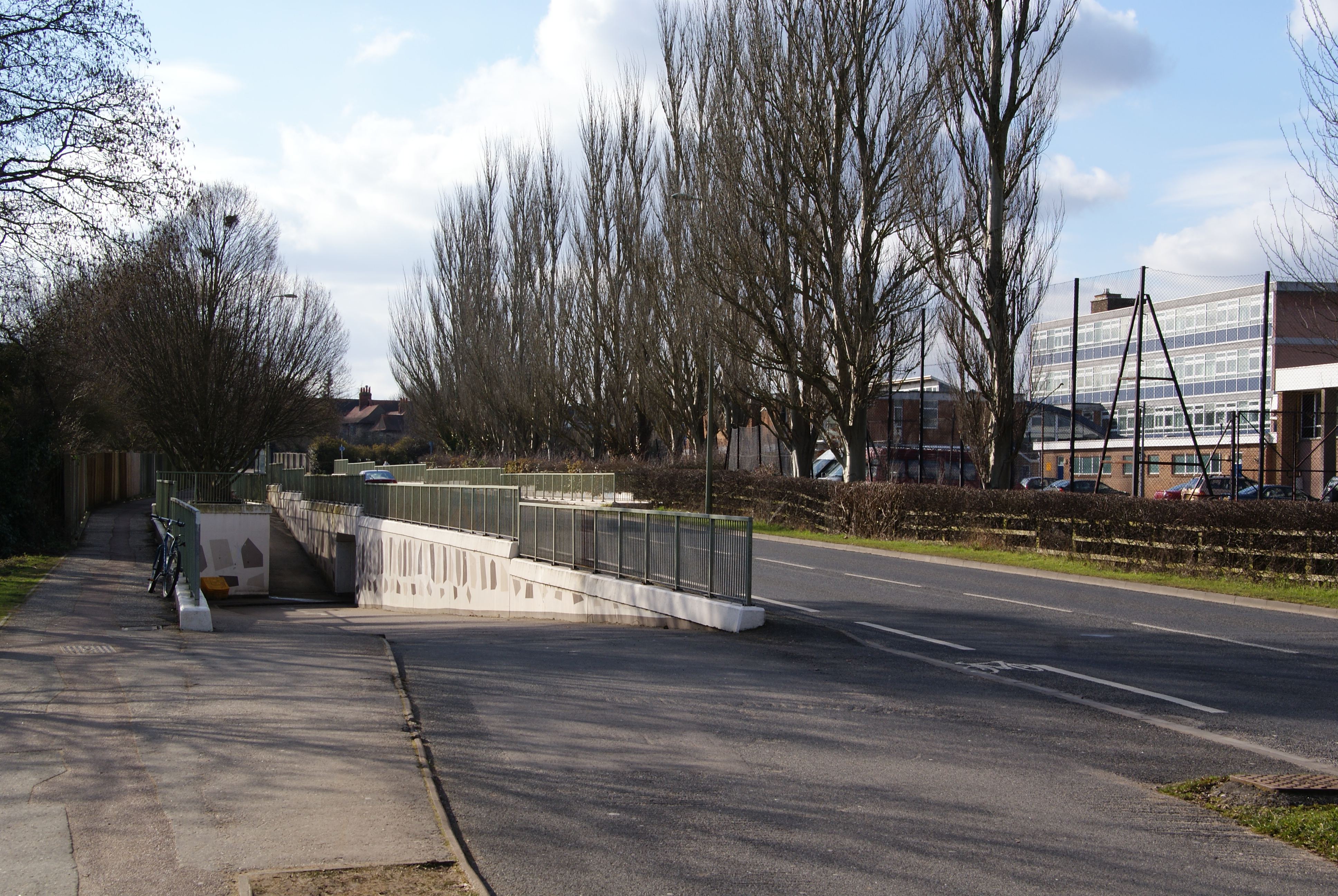
Marston Ferry Road
Marston Ferry Road is a link road in north Oxford, England. It is named after the ferry that used to cross the River Cherwell at the village of Marston...

Summer Fields School
Summer Fields is a fee-paying boys' independent day and boarding preparatory school in Summertown, Oxford. It was originally called Summerfield and used...
Nearby Amenities
Located within 500m of 51.776371,-1.256406Have you been to Summertown?
Leave your review of Summertown below (or comments, questions and feedback).