Stud Green

Settlement in Berkshire

England

Stud Green

Footbridge over the M4 on the approach to junction 8/9
Footbridge over the M4 on the approach to junction 8/9 Credit: Rob Purvis

Stud Green is a small village located in the county of Berkshire, in southern England. Situated approximately 10 miles west of the bustling town of Reading, Stud Green is known for its picturesque countryside and tranquil atmosphere. It is nestled amidst lush green fields and rolling hills, providing a peaceful escape from the nearby urban areas.

The village itself is relatively small, with a population of around 500 residents. It predominantly consists of traditional cottages and farmhouses, giving it a charming and rustic feel. The architecture in Stud Green is a mix of old and new, with some buildings dating back several centuries.

Stud Green is surrounded by a variety of natural attractions, making it a popular destination for outdoor enthusiasts. It is situated near the beautiful River Kennet, which offers opportunities for fishing and boating. The nearby countryside also provides ample space for hiking, cycling, and horseback riding.

Despite its rural setting, Stud Green is well-connected to the wider region. The village is just a short drive away from the M4 motorway, providing easy access to larger towns and cities. Additionally, the nearby town of Newbury offers a range of amenities, including shops, restaurants, and leisure facilities.

Overall, Stud Green offers a peaceful and idyllic setting for those seeking a slower pace of life. Its natural beauty and convenient location make it a desirable place to live for both locals and those looking to escape the hustle and bustle of city living.

If you have any feedback on the listing, please let us know in the comments section below.
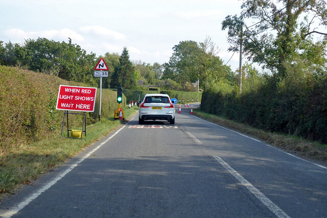
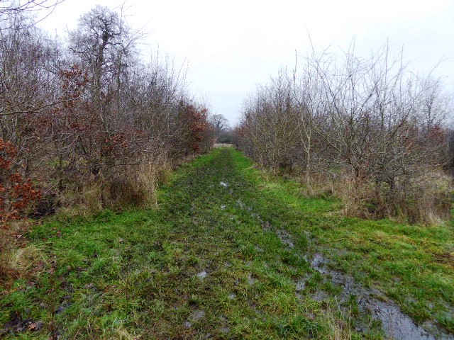
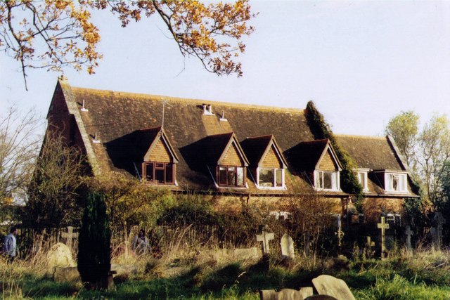
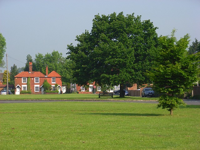
Stud Green Images

Images are sourced within 2km of 51.489593/-0.728865 or Grid Reference SU8877. Thanks to Geograph Open Source API. All images are credited.

Footbridge over the M4 on the approach to junction 8/9
Junction 8/9 on the eastbound M4
On the eastbound M4 at the A330 bridge
Footbridge crossing the A404(M)
Road works on B3024, Forest Green Towards Windsor.
Road works on B3024, Forest Green
Towards Windsor.
Mid section of Ockwells Road
Touchen End Farm: early February 2022
The Holyport Interchange Junction 8/9 on the M4, where it links with the A404(M) and the A308(M), viewed from a plane approaching Heathrow Airport.
The Holyport Interchange
Junction 8/9 on the M4, where it links with the A404(M) and the A308(M), viewed from a plane approaching Heathrow Airport.
Holyport : M4 Motorway Approaching Holyport Interchange.
Holyport : M4 Motorway
Approaching Holyport Interchange.
Cox Green : M4 Motorway Looking along the M4 Motorway eastbound.
Cox Green : M4 Motorway
Looking along the M4 Motorway eastbound.
J9a, A404(M) The A404(M) is 2 miles long and is called the Maidenhead bypass, and is one of two motorways to meet the M4 at the double numbered J8/9.
J9a, A404(M)
The A404(M) is 2 miles long and is called the Maidenhead bypass, and is one of two motorways to meet the M4 at the double numbered J8/9.
A404(M) approaching J8 The A404(M) is 2 miles long and is called the Maidenhead bypass, and is one of two motorways to meet the M4 at the double numbered J8/9.
A404(M) approaching J8
The A404(M) is 2 miles long and is called the Maidenhead bypass, and is one of two motorways to meet the M4 at the double numbered J8/9.
Footbridge over the M4 The M4 is 190 miles long and runs from London to South Wales. Major centres close to the motorway include Reading, Swindon, Bristol, Newport, Cardiff and Swansea. The motorway was constructed between 1961 and 1996. The M4 originally crossed the first Severn Road Bridge. It has now been diverted to use the Second Severn Crossing and the motorway over the older bridge has been renumbered as M48.
Wikipedia: <span class="nowrap"><a title="http://en.wikipedia.org/wiki/M4_motorway" rel="nofollow ugc noopener" href="http://en.wikipedia.org/wiki/M4_motorway">Link</a><img style="margin-left:2px;" alt="External link" title="External link - shift click to open in new window" src="https://s1.geograph.org.uk/img/external.png" width="10" height="10"/></span>
Footbridge over the M4
The M4 is 190 miles long and runs from London to South Wales. Major centres close to the motorway include Reading, Swindon, Bristol, Newport, Cardiff and Swansea. The motorway was constructed between 1961 and 1996. The M4 originally crossed the first Severn Road Bridge. It has now been diverted to use the Second Severn Crossing and the motorway over the older bridge has been renumbered as M48. Wikipedia: LinkExternal link
M4, westbound The M4 is 190 miles long and runs from London to South Wales. Major centres close to the motorway include Reading, Swindon, Bristol, Newport, Cardiff and Swansea. The motorway was constructed between 1961 and 1996. The M4 originally crossed the first Severn Road Bridge. It has now been diverted to use the Second Severn Crossing and the motorway over the older bridge has been renumbered as M48.
Wikipedia: <span class="nowrap"><a title="http://en.wikipedia.org/wiki/M4_motorway" rel="nofollow ugc noopener" href="http://en.wikipedia.org/wiki/M4_motorway">Link</a><img style="margin-left:2px;" alt="External link" title="External link - shift click to open in new window" src="https://s1.geograph.org.uk/img/external.png" width="10" height="10"/></span>
M4, westbound
The M4 is 190 miles long and runs from London to South Wales. Major centres close to the motorway include Reading, Swindon, Bristol, Newport, Cardiff and Swansea. The motorway was constructed between 1961 and 1996. The M4 originally crossed the first Severn Road Bridge. It has now been diverted to use the Second Severn Crossing and the motorway over the older bridge has been renumbered as M48. Wikipedia: LinkExternal link
M4 footbridge The M4 is 190 miles long and runs from London to South Wales. Major centres close to the motorway include Reading, Swindon, Bristol, Newport, Cardiff and Swansea. The motorway was constructed between 1961 and 1996. The M4 originally crossed the first Severn Road Bridge. It has now been diverted to use the Second Severn Crossing and the motorway over the older bridge has been renumbered as M48.
Wikipedia: <span class="nowrap"><a title="http://en.wikipedia.org/wiki/M4_motorway" rel="nofollow ugc noopener" href="http://en.wikipedia.org/wiki/M4_motorway">Link</a><img style="margin-left:2px;" alt="External link" title="External link - shift click to open in new window" src="https://s1.geograph.org.uk/img/external.png" width="10" height="10"/></span>
M4 footbridge
The M4 is 190 miles long and runs from London to South Wales. Major centres close to the motorway include Reading, Swindon, Bristol, Newport, Cardiff and Swansea. The motorway was constructed between 1961 and 1996. The M4 originally crossed the first Severn Road Bridge. It has now been diverted to use the Second Severn Crossing and the motorway over the older bridge has been renumbered as M48. Wikipedia: LinkExternal link
Ockwells Park Fields
A404(M) Footbridge
A404(M) Footbridge
End of Ockwells Road - Cox Green
Show me another place!

Stud Green is located at Grid Ref: SU8877 (Lat: 51.489593, Lng: -0.728865)

Unitary Authority: Windsor and Maidenhead

Police Authority: Thames Valley

What 3 Words

///fake.badge.staple. Near White Waltham, Berkshire

Nearby Locations

Stud Green

Related Wikis

Holyport Real Tennis Club

The Holyport Real Tennis Club, formerly the Royal County of Berkshire Real Tennis Club, operates the real tennis court at Holyport, Berkshire, England...

Ockwells Park

Ockwells Park is a park, part of which is a local nature reserve, in Cox Green, Berkshire, England. The nature reserve is owned by the Royal Borough of...

Touchen End

Touchen End, formerly written Touchen-end, is a village in the civil parish of Bray in the English county of Berkshire. It is situated about 3 miles (4...

Holyport

Holyport (pronounced Hollyport) is a suburban village in the civil parish of Bray (where at the 2011 Census the population was included), about 2 mi (3...

Nearby Amenities

Located within 500m of 51.489593,-0.728865
Noexit: yes
Lat/Long: 51.4931307/-0.7268246
Post Box
Ref: SL6 14
Lat/Long: 51.4889228/-0.7236681
Stud Green
Place: hamlet
Lat/Long: 51.4903078/-0.7294322
The data included in this document is from www.openstreetmap.org. The data is made available under ODbL.

Have you been to Stud Green?

Leave your review of Stud Green below (or comments, questions and feedback).