Strugg's Hill

Settlement in Lincolnshire Boston

England

Strugg's Hill

Open fields
Open fields Credit: Alex McGregor

Strugg's Hill is a small village located in the county of Lincolnshire, England. Situated in the East Lindsey district, Strugg's Hill is nestled within the beautiful Lincolnshire Wolds, an Area of Outstanding Natural Beauty.

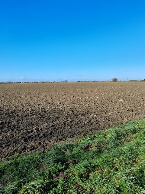
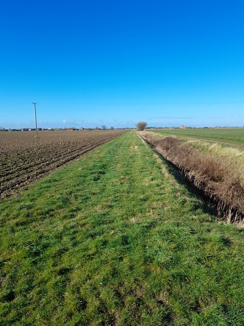
With a population of around 200 residents, Strugg's Hill is a close-knit community known for its picturesque countryside and tranquil atmosphere. The village is surrounded by rolling hills, lush green fields, and meandering streams, making it an idyllic setting for those seeking a peaceful retreat.

Strugg's Hill is primarily an agricultural village, with farming being the main occupation of its residents. The fertile land in the area allows for the cultivation of crops such as wheat, barley, and potatoes. Livestock farming, particularly sheep and cattle rearing, is also prevalent in the region.

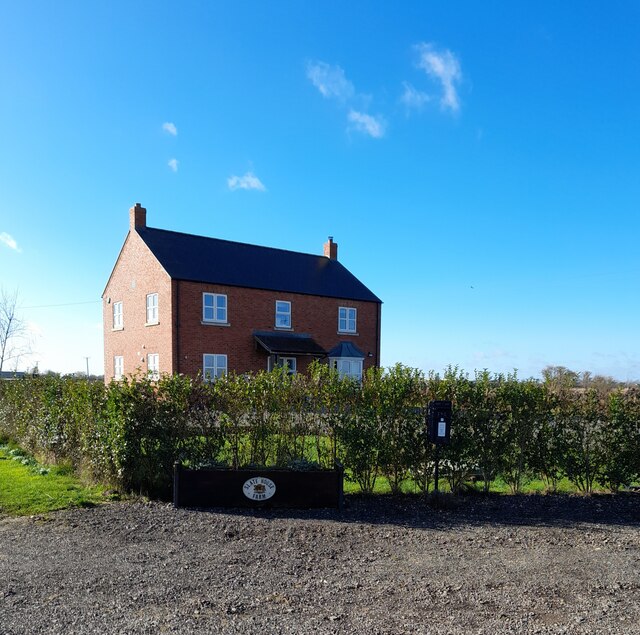
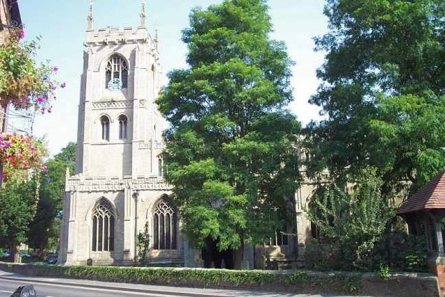
The village itself features a charming collection of traditional stone cottages, some of which date back several centuries. The local church, St. Mary's, is a notable landmark, displaying stunning architectural features and serving as a hub for the community's religious activities.

Despite its small size, Strugg's Hill benefits from a handful of amenities, including a village hall, a local pub, and a small convenience store. The surrounding countryside offers numerous walking and cycling trails, attracting outdoor enthusiasts and nature lovers alike.

Overall, Strugg's Hill offers a tranquil and picturesque retreat for residents and visitors, showcasing the natural beauty and rich agricultural heritage of Lincolnshire.

If you have any feedback on the listing, please let us know in the comments section below.

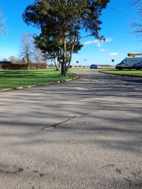
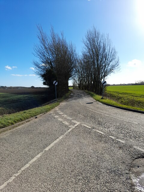
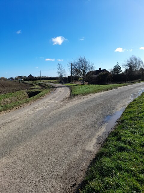
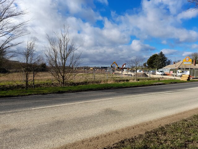
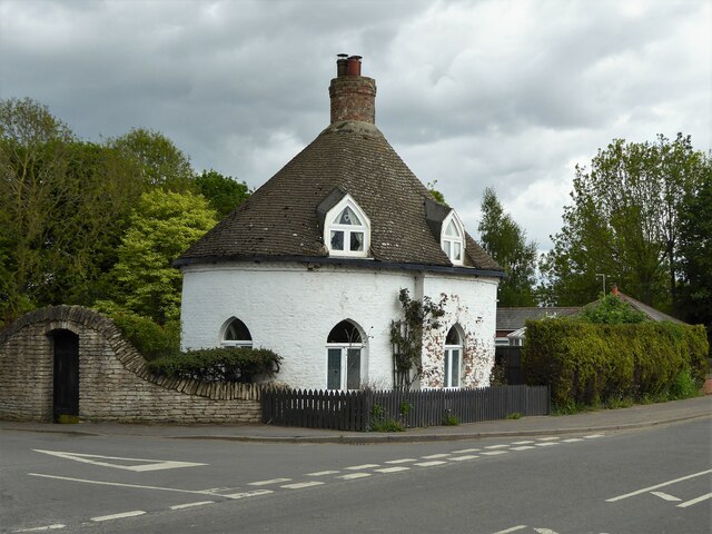
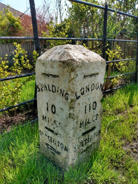
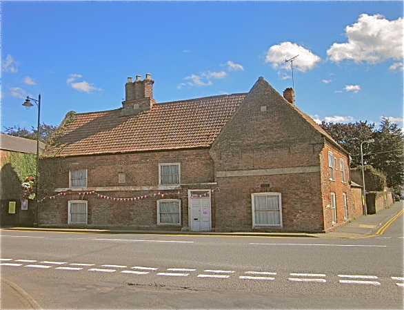
Strugg's Hill Images

Images are sourced within 2km of 52.9164/-0.0782 or Grid Reference TF2937. Thanks to Geograph Open Source API. All images are credited.

Open fields
Open fields
Field drain
Field drain
Slate House Farm
Slate House Farm
Rainwall's Lane
Rainwall's Lane
Sewage treatment site
Roper's Lane
Roper's Lane
Hall Lane
Hall Lane
Green Lane
Green Lane
Development site
Development site
The Round House A quirky former Gate Lodge on Station Road
The Round House
A quirky former Gate Lodge on Station Road
Old Milestone by B1397, Boston Road, outside The Rylands (South of Tudor Lodge) The Milestone is located on the verge on the East of the road.  Parish of Sutterton (Boston District). Carved stone post,  design, erected by the Donington turnpike trust in the 19th Century. An earlier photograph can be found here: <a title="https://www.geograph.org.uk/photo/6126414" href="https://www.geograph.org.uk/photo/6126414">Link</a> 

Inscription reads:-  
LONDON / 110 / MILES / SUTTERTON : : SPALDING / 10 / MILES / SUTTERTON : : BOSTON / 6 / MILES / SUTTERTON 

Grade II listed. List Entry Number: 1062033 <span class="nowrap"><a title="https://historicengland.org.uk/listing/the-list/list-entry/1062033" rel="nofollow ugc noopener" href="https://historicengland.org.uk/listing/the-list/list-entry/1062033">Link</a><img style="margin-left:2px;" alt="External link" title="External link - shift click to open in new window" src="https://s1.geograph.org.uk/img/external.png" width="10" height="10"/></span> 

Milestone Society National ID: LI_SPBO10
Old Milestone by B1397, Boston Road, outside The Rylands (South of Tudor Lodge)
The Milestone is located on the verge on the East of the road.  Parish of Sutterton (Boston District). Carved stone post, design, erected by the Donington turnpike trust in the 19th Century. An earlier photograph can be found here: Link  Inscription reads:- LONDON / 110 / MILES / SUTTERTON : : SPALDING / 10 / MILES / SUTTERTON : : BOSTON / 6 / MILES / SUTTERTON Grade II listed. List Entry Number: 1062033 LinkExternal link Milestone Society National ID: LI_SPBO10
Algarkirk, St Peter and St Paul's Church: Southern aspect
Algarkirk, St Peter and St Paul's Church: Tower and short spire
Algarkirk: Play area
Algarkirk, St Peter and St Paul's Church: North eastern aspect
Algarkirk Church
Algarkirk Church
St. Mary the Blessed Virgin, Sutterton
Show me another place!

Strugg's Hill is located at Grid Ref: TF2937 (Lat: 52.9164, Lng: -0.0782)

Division: Parts of Holland

Administrative County: Lincolnshire

District: Boston

Police Authority: Lincolnshire

What 3 Words

///flickers.thankful.bunny. Near Sutterton, Lincolnshire

Nearby Locations

Strugg's Hill

Related Wikis

Thomas Middlecott Academy

Thomas Middlecott Academy is a coeducational secondary school in Kirton, Lincolnshire, England.The school's curriculum includes GCSEs and BTECs, with some...

Kirton, Lincolnshire

Kirton or Kirton in Holland is an English village and civil parish in the Borough of Boston, Lincolnshire. The population of the civil parish at the 2011...

Old King's Head, Kirton

The Old King's Head, Kirton in Holland, near Boston in Lincolnshire, England is a former public house. The earlier part of it was built at the end of the...

St Mary's Church, Sutterton

St Mary's Church (or The Church of Saint Mary the Blessed Virgin) is an Anglican church and Grade I Listed building in Sutterton, Lincolnshire, England...

Nearby Amenities

Located within 500m of 52.9164,-0.0782
Power: pole
Lat/Long: 52.9166558/-0.0810585
Power: pole
Lat/Long: 52.917065/-0.0796413
Power: pole
Lat/Long: 52.9172484/-0.0742741
Power: pole
Lat/Long: 52.9173073/-0.0759518
Power: pole
Lat/Long: 52.9173793/-0.0785391
Power: pole
Lat/Long: 52.9174022/-0.0727592
Power: pole
Lat/Long: 52.9175496/-0.0712009
Power: pole
Lat/Long: 52.9160716/-0.0841416
Power: pole
Lat/Long: 52.9162516/-0.0856465
Power: pole
Lat/Long: 52.9162937/-0.0824019
Grange Farm
Place: farm
Source: Bing
Lat/Long: 52.9202091/-0.0758648
Strugg's Hill
Place: locality
Source: Bing
Lat/Long: 52.9159849/-0.0760289
Boundary House
Place: isolated_dwelling
Source: Bing
Lat/Long: 52.9193253/-0.0766032
Somerset House
Place: isolated_dwelling
Source: Bing
Lat/Long: 52.9183552/-0.0813757
Rainbow Landscaping Centre
Addr City: Boston
Addr Country: GB
Addr Postcode: PE20 1PX
Addr Street: London Road
Addr Suburb: Kirton
Fhrs Authority: Boston
Fhrs Id: 231831
Fhrs Local Authority Id: 6601
Shop: garden_centre
Lat/Long: 52.9204146/-0.0750536
The data included in this document is from www.openstreetmap.org. The data is made available under ODbL.

Have you been to Strugg's Hill?

Leave your review of Strugg's Hill below (or comments, questions and feedback).