An t-Sròn

Settlement in Argyllshire

Scotland

An t-Sròn

Rainbow over the Firth of Clyde Looking towards Strone from the ferry to Hunter's Quay.
Rainbow over the Firth of Clyde Credit: Anne Burgess

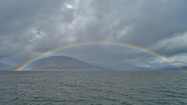
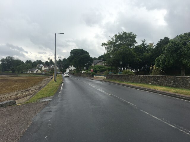
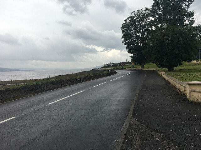
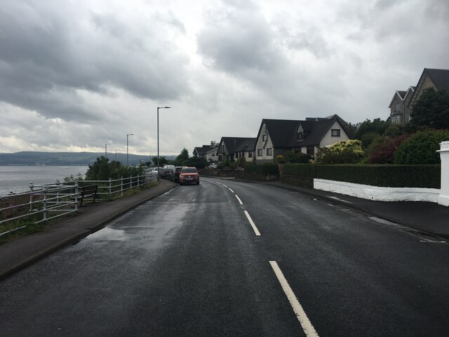
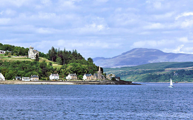
An t-Sròn, also known as Strone, is a small village located in the region of Argyllshire, Scotland. Situated on the eastern shore of Loch Long, it is surrounded by stunning natural beauty and offers magnificent views of the loch and the surrounding hills.

The village itself is comprised of a few scattered houses and cottages, giving it a quaint and peaceful atmosphere. The local community is tight-knit, with a friendly and welcoming atmosphere that is characteristic of rural Scottish villages.

An t-Sròn is well-known for its outdoor recreational activities. The surrounding area offers ample opportunities for hiking, fishing, and sailing, making it a popular destination for outdoor enthusiasts. The nearby Argyll Forest Park is a haven for wildlife and nature lovers, with its diverse range of flora and fauna.

For those interested in history, An t-Sròn is also home to several ancient monuments and historical sites. The nearby Kilmodan Standing Stones, dating back thousands of years, are a notable attraction. Additionally, the village is within easy reach of other historical sites, such as Inveraray Castle and Loch Lomond.

Although it is a small village, An t-Sròn has some basic amenities, including a local shop and a pub, where visitors can enjoy traditional Scottish cuisine and beverages. However, for more extensive amenities and services, the nearby town of Dunoon is only a short drive away.

Overall, An t-Sròn is a charming and picturesque village that offers a peaceful retreat amidst the stunning natural beauty of Argyllshire.

If you have any feedback on the listing, please let us know in the comments section below.

An t-Sròn Images

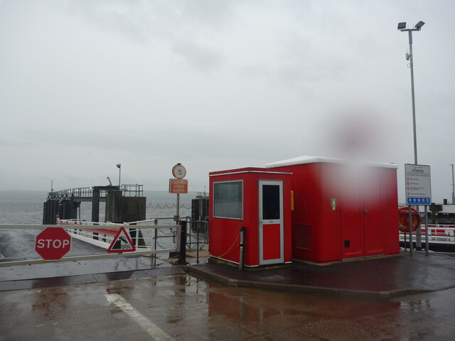
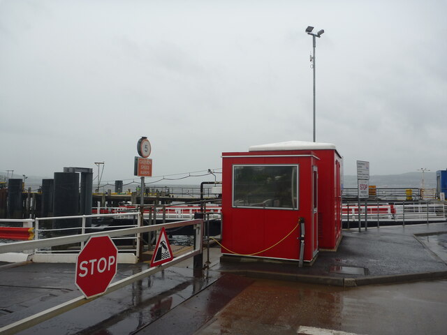
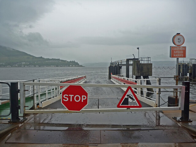
Images are sourced within 2km of 55.985896/-4.9079128 or Grid Reference NS1880. Thanks to Geograph Open Source API. All images are credited.

Rainbow over the Firth of Clyde Looking towards Strone from the ferry to Hunter's Quay.
Rainbow over the Firth of Clyde
Looking towards Strone from the ferry to Hunter's Quay.
Strone From the Hunter's Quay ferry.
Strone
From the Hunter's Quay ferry.
Blairmore Pier Looking towards Gourock from Blairmore Pier.
Blairmore Pier
Looking towards Gourock from Blairmore Pier.
A815 at Ardnadam
A815 at Ardnadam
A815 past Hunter’s Quay holiday park
A815 on the outskirts of Dunoon
Firth Of Clyde : Heatwave? What Heatwave? Waiting at Hunter's Quay for a ferry back across the Firth of Clyde. 

It's mid-July, it's summertime in the west of Scotland, rain is falling from dreich grey skies. This is normal weather for the time of year. There's no "climate emergency" here.

Our only care in the world is whether we will get to Nardini's in time for some scran on the way home.
Firth Of Clyde : Heatwave? What Heatwave?
Waiting at Hunter's Quay for a ferry back across the Firth of Clyde. It's mid-July, it's summertime in the west of Scotland, rain is falling from dreich grey skies. This is normal weather for the time of year. There's no "climate emergency" here. Our only care in the world is whether we will get to Nardini's in time for some scran on the way home.
Firth Of Clyde : Seeing red at Hunter's Quay
Firth Of Clyde : Linkspan slipway at Hunter's Quay ferry terminal Stop! 

Don't be a numpty. Don't drive your car off the end of the ramp and into the sea.
Firth Of Clyde : Linkspan slipway at Hunter's Quay ferry terminal
Stop! Don't be a numpty. Don't drive your car off the end of the ramp and into the sea.
Kilmun Pier Western Ferries  Sound of Scalpay at the pier.
Kilmun Pier
Western Ferries Sound of Scalpay at the pier.
Pier Hotel, Kilmun Renamed from the Kilmun Hotel, this is across from the Kilmun Pier.
Pier Hotel, Kilmun
Renamed from the Kilmun Hotel, this is across from the Kilmun Pier.
Blairmore Pier The Vital Spark at the recently reopened pier.
Blairmore Pier
The Vital Spark at the recently reopened pier.
War Memorial At Lazaretto Point
War Memorial
At Lazaretto Point
Argyll Hotel, Strone Has since been renamed Strone Inn
Argyll Hotel, Strone
Has since been renamed Strone Inn
Kilmun, Choille Bheag House
Strone Pier, Holy Loch In the background Cloch Lighthouse (left), Inverkip Power Station (centre) and Hunters Quay Pier (right).
Strone Pier, Holy Loch
In the background Cloch Lighthouse (left), Inverkip Power Station (centre) and Hunters Quay Pier (right).
Strone , Holy Loch Houses and Post Office
Strone , Holy Loch
Houses and Post Office
Holy Loch Looking west from Strone Post Office
Holy Loch
Looking west from Strone Post Office
Show me another place!

An t-Sròn is located at Grid Ref: NS1880 (Lat: 55.985896, Lng: -4.9079128)

Unitary Authority: Argyll and Bute

Police Authority: Argyll and West Dunbartonshire

Also known as: Strone

What 3 Words

///silly.expressed.when. Near Sandbank, Argyll & Bute

Related Wikis

Strone, Cowal

Strone (Scottish Gaelic: An t-Sròn) is a village on the Cowal peninsula in Argyll and Bute in the Scottish Highlands at the point where the north shore...

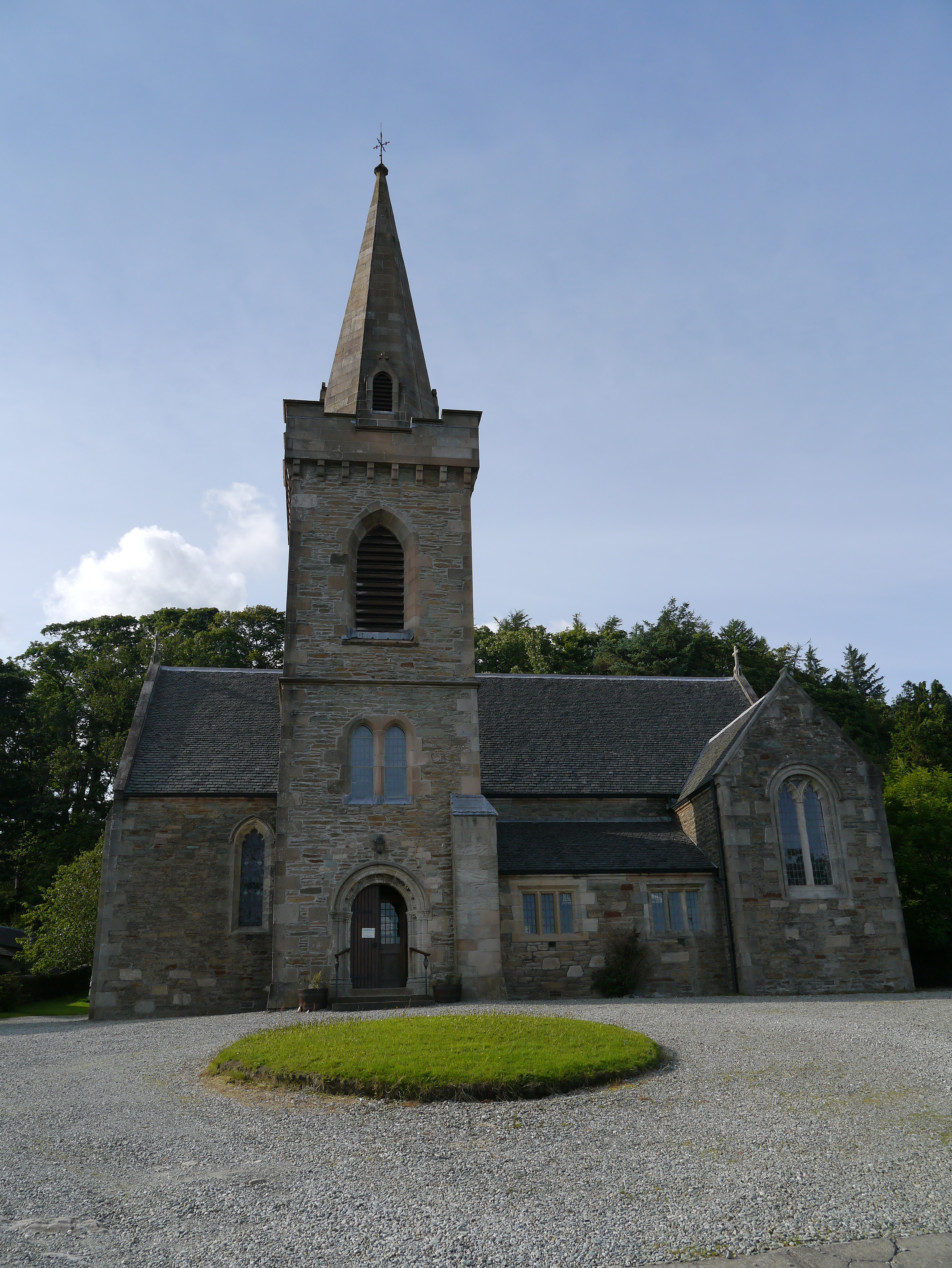
St Columba's Church, Strone

St Columba's Church (also known as Strone Church) is a Church of Scotland church building in Strone, Argyll and Bute, Scotland. The church is located on...

Hafton House

Hafton House (also known as Hafton Castle) is a Category B listed country house in Hunters Quay, Argyll and Bute, Scotland. The property is located on...

Lazaretto Point War Memorial

Erected in 1922, the Lazaretto Point War Memorial (known colloquially as the Lazaretto Memorial) is located in the Scottish village of Ardnadam in Argyll...

Nearby Amenities

Located within 500m of 55.985896,-4.9079128
Created By: almien_coastlines
Lat/Long: 55.984447/-4.906451
Created By: almien_coastlines
Lat/Long: 55.984205/-4.905525
Created By: almien_coastlines
Lat/Long: 55.984081/-4.905291
Created By: almien_coastlines
Lat/Long: 55.983576/-4.904809
Created By: almien_coastlines
Lat/Long: 55.98332/-4.904797
Created By: almien_coastlines
Lat/Long: 55.983061/-4.905012
Created By: almien_coastlines
Lat/Long: 55.983202/-4.904105
Created By: almien_coastlines
Lat/Long: 55.983216/-4.903192
Created By: almien_coastlines
Lat/Long: 55.982975/-4.902266
Snap 5 : Road
Ele: 15
Lat/Long: 55.9873989/-4.9106188
Snap 6 : Path
Ele: -2
Lat/Long: 55.9871439/-4.9096374
Snap 8 : Fork
Ele: 9
Lat/Long: 55.9860491/-4.9061957
Snap 7 : Road
Ele: -8
Lat/Long: 55.9866455/-4.907134
Snap 1 : Path uphill
Ele: 42
Lat/Long: 55.989656/-4.9083281
Strone
Name Gd: An t-Sròn
Place: village
Wikidata: Q1033190
Lat/Long: 55.985646/-4.9079833
Post Box
Post Box Type: lamp
Royal Cypher: scottish_crown
Lat/Long: 55.984685/-4.9055218
The data included in this document is from www.openstreetmap.org. The data is made available under ODbL.

Have you been to An t-Sròn?

Leave your review of An t-Sròn below (or comments, questions and feedback).