Street End
Settlement in Kent Canterbury
England
Street End
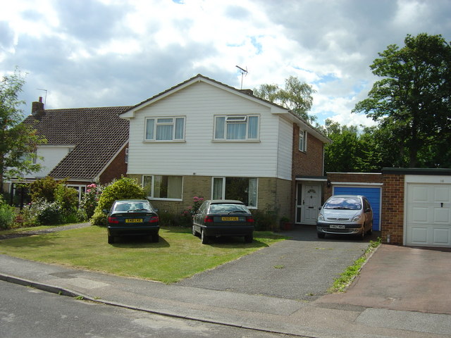
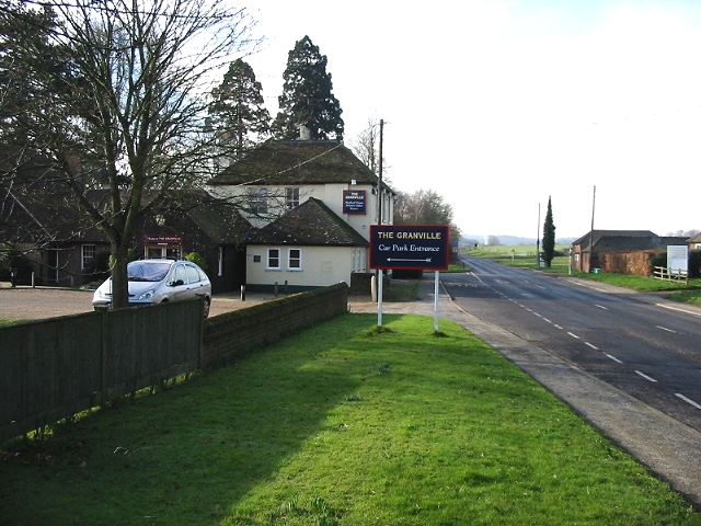
Street End is a small village located in the county of Kent, in southeastern England. Situated near the town of Sittingbourne, it is part of the Swale district. With a population of around 500 residents, Street End is a close-knit community that offers a peaceful and picturesque setting for its residents.
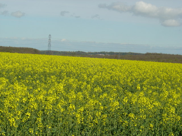
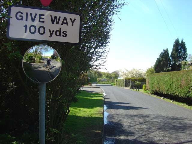
The village is characterized by its charming rural landscape, with rolling hills, green fields, and quaint cottages. It is surrounded by the beautiful Kent countryside, providing residents with ample opportunities for outdoor activities such as walking, cycling, and horse riding. The nearby Bredgar and Wormshill Light Railway is a popular attraction for both locals and visitors.
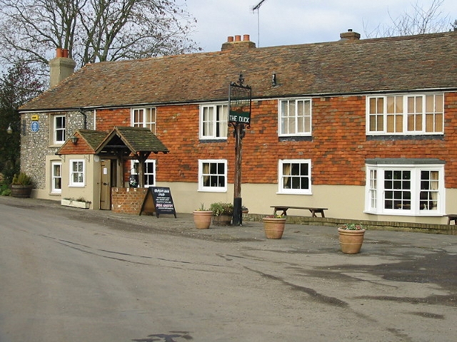
Despite its small size, Street End has a strong sense of community and a range of amenities to cater to its residents' needs. These include a village hall, a primary school, a local pub, and a community-run shop. The village also benefits from good transport links, with easy access to the nearby A249 road and the M2 motorway.
Street End enjoys a rich history, with evidence of human settlement dating back to the Roman era. The village has retained its rural charm while embracing modern developments, making it an attractive place to live for those seeking a peaceful and idyllic lifestyle in the heart of the Kentish countryside.
If you have any feedback on the listing, please let us know in the comments section below.
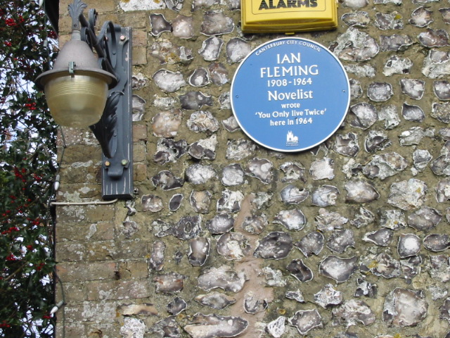
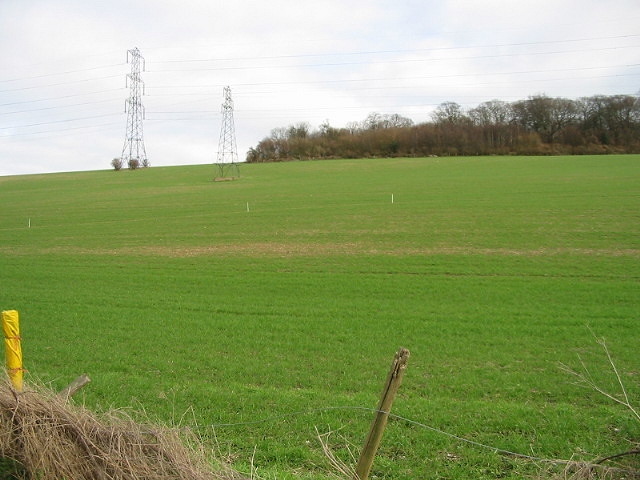
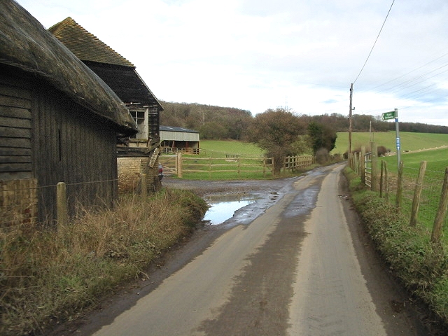
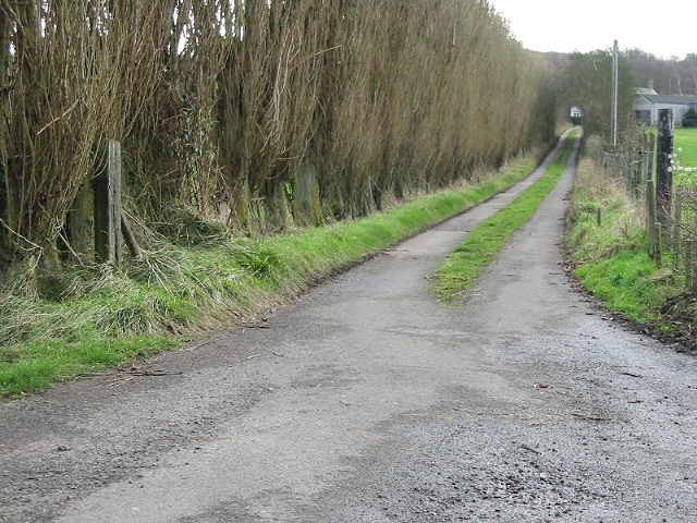
Street End Images
Images are sourced within 2km of 51.237991/1.072947 or Grid Reference TR1453. Thanks to Geograph Open Source API. All images are credited.


Street End is located at Grid Ref: TR1453 (Lat: 51.237991, Lng: 1.072947)
Administrative County: Kent
District: Canterbury
Police Authority: Kent
What 3 Words
///mulls.smelter.trending. Near Bridge, Kent
Nearby Locations
Related Wikis

Lower Hardres
Lower Hardres is a village and former civil parish, now in the parish of Lower Hardres and Nackington, in the City of Canterbury district of Kent, England...

Nackington
Nackington is an English village and former civil parish, now in the parish of Lower Hardres and Nackington, south of Canterbury in the Canterbury district...

Pett Bottom (Canterbury)
Pett Bottom is a small settlement about five miles (8 km) south of Canterbury, Kent, England. The nearest village is Lower Hardres. It is in the civil...

Petham
Petham is a rural village and civil parish in the North Downs, five miles south of Canterbury in Kent, South East England. The village church is All Saints...

Upper Hardres
Upper Hardres is a village and civil parish in the City of Canterbury, in the district of Kent, England. The name of the Hardres family is perpetuated...

Simon Langton Grammar School for Boys
Simon Langton Grammar School for Boys (also known as The Langton Grammar School for Boys and simply referred to as The Langton) is an 11–18 foundation...

St Augustine's Hospital, Chartham
St Augustine's Hospital was a psychiatric hospital in Chartham, Kent, England. It was founded as the second, or East, Kent County Asylum in 1872. In 1948...

Bridge railway station
Bridge was a station on the Elham Valley Railway. It opened in 1889 and closed to passengers in 1940 and freight in 1947. == History == The station opened...
Nearby Amenities
Located within 500m of 51.237991,1.072947Have you been to Street End?
Leave your review of Street End below (or comments, questions and feedback).