Stranog

Settlement in Kincardineshire

Scotland

Stranog

Aberdeen Western Peripheral Route The excavations here are the early stages of the construction of the Aberdeen Western Peripheral Route (AWPR).
Aberdeen Western Peripheral Route Credit: Anne Burgess

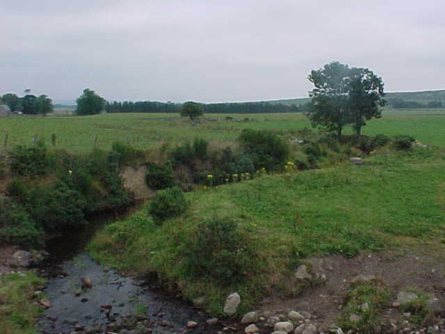
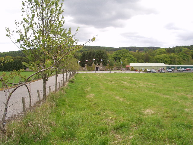
Stranog is a small village located in Kincardineshire, Scotland. It is situated approximately 10 miles southwest of Stonehaven and 25 miles south of Aberdeen. The village is nestled in a picturesque countryside setting, surrounded by rolling hills and scenic landscapes.

The history of Stranog dates back many centuries, with evidence of human settlement in the area since ancient times. The village has retained its rural charm and character, with traditional stone-built houses and a close-knit community atmosphere.

Despite its small size, Stranog offers a range of amenities for its residents. The village has a local primary school, providing education for the younger members of the community. It also boasts a community center, which serves as a gathering place for various social events and activities.

Stranog is known for its agricultural heritage, with farming playing a significant role in the local economy. The fertile land surrounding the village is used for cultivating crops and rearing livestock, contributing to the region's agricultural productivity.

For outdoor enthusiasts, Stranog offers ample opportunities for exploring the natural beauty of the surrounding area. The village is located close to the Cairngorms National Park, which is renowned for its stunning scenery and diverse wildlife. Hiking, cycling, and wildlife spotting are popular activities among both locals and visitors.

In summary, Stranog is a charming village in Kincardineshire, Scotland, known for its rural setting, agricultural heritage, and proximity to natural beauty. Its tight-knit community and range of amenities make it an attractive place to live for those seeking a peaceful countryside lifestyle.

If you have any feedback on the listing, please let us know in the comments section below.
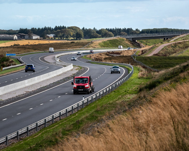
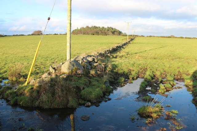
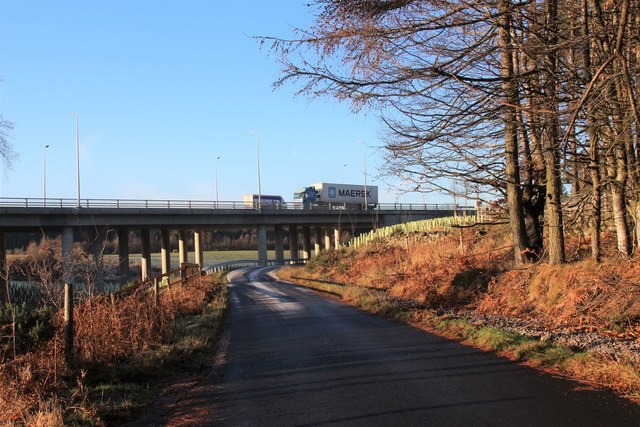
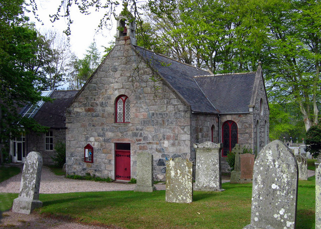
Stranog Images

Images are sourced within 2km of 57.063828/-2.2324808 or Grid Reference NO8697. Thanks to Geograph Open Source API. All images are credited.

Aberdeen Western Peripheral Route The excavations here are the early stages of the construction of the Aberdeen Western Peripheral Route (AWPR).
Aberdeen Western Peripheral Route
The excavations here are the early stages of the construction of the Aberdeen Western Peripheral Route (AWPR).
Burn of Monquich
Burn of Monquich
Minor road junction off B979 Signposted to Nether Ashentilly; closer access to Mains of Altries.
Minor road junction off B979
Signposted to Nether Ashentilly; closer access to Mains of Altries.
B979 heading north from Netherley Daffodils in bloom at access junction for Mill of Monquich.
B979 heading north from Netherley
Daffodils in bloom at access junction for Mill of Monquich.
Access lane to Mill of Monquich, Netherley Off B979.
Access lane to Mill of Monquich, Netherley
Off B979.
Alba Power factory near Netherley Hunter airframe and engines of N-315 as restored by Alba Power. See <span class="nowrap"><a title="http://www.thunder-and-lightnings.co.uk/hunter/index.php" rel="nofollow ugc noopener" href="http://www.thunder-and-lightnings.co.uk/hunter/index.php">Link</a><img style="margin-left:2px;" alt="External link" title="External link - shift click to open in new window" src="https://s1.geograph.org.uk/img/external.png" width="10" height="10"/></span> and <span class="nowrap"><a title="http://www.thunder-and-lightnings.co.uk/hunter/survivor.php?id=263" rel="nofollow ugc noopener" href="http://www.thunder-and-lightnings.co.uk/hunter/survivor.php?id=263">Link</a><img style="margin-left:2px;" alt="External link" title="External link - shift click to open in new window" src="https://s1.geograph.org.uk/img/external.png" width="10" height="10"/></span>
Alba Power factory near Netherley
Hunter airframe and engines of N-315 as restored by Alba Power. See LinkExternal link and LinkExternal link
A90 - cutting east of Stranog Hill Cutting east of Stranog Hill on the A90, Aberdeen Western Peripheral Route (AWPR)
A90 - cutting east of Stranog Hill
Cutting east of Stranog Hill on the A90, Aberdeen Western Peripheral Route (AWPR)
A90 south of the Cleanhill junction South of the Cleanhill junction on the A90, Aberdeen Western Peripheral Route (AWPR)
A90 south of the Cleanhill junction
South of the Cleanhill junction on the A90, Aberdeen Western Peripheral Route (AWPR)
A90 near Crossley The A90, Aberdeen Western Peripheral Route (AWPR) near Crossley
A90 near Crossley
The A90, Aberdeen Western Peripheral Route (AWPR) near Crossley
A90 near Crossley The A90, Aberdeen Western Peripheral Route (AWPR), near Crossley
A90 near Crossley
The A90, Aberdeen Western Peripheral Route (AWPR), near Crossley
The A90 near Rothnick The A90, Aberdeen Western Peripheral Route (AWPR), near Rothnick
The A90 near Rothnick
The A90, Aberdeen Western Peripheral Route (AWPR), near Rothnick
Wooded farmland at Standingstones, Maryculter
Drystone field boundaries at Mains of Altries
Drystane dyke near Mains of Altries
Pine wood at the entry to Mains of Altries
Access road to Mains of Altries The drystone dyke is well covered by moss due to its northern aspect and the tree shade.
Access road to Mains of Altries
The drystone dyke is well covered by moss due to its northern aspect and the tree shade.
Aberdeen Western Peripheral Route
East Croft It won't be many years until this view is obliterated by the shrubs that have been planted beside the road. The closest buildings are at East Croft, and the further away ones are at Crossley.
East Croft
It won't be many years until this view is obliterated by the shrubs that have been planted beside the road. The closest buildings are at East Croft, and the further away ones are at Crossley.
Show me another place!

Stranog is located at Grid Ref: NO8697 (Lat: 57.063828, Lng: -2.2324808)

Unitary Authority: Aberdeenshire

Police Authority: North East

What 3 Words

///intervene.likewise.mammoth. Near Peterculter, Aberdeen

Nearby Locations

Stranog

Related Wikis

Cairnie Burn

Cairnie Burn is a stream that rises in the Mounth, or eastern range of the Grampian Mountains, north of Netherley, Aberdeenshire, Scotland. Cairnie Burn...

Oldman Wood

Oldman Wood is a publicly owned forest in Kincardineshire, Scotland. Crynoch Burn, a tributary of the River Dee, flows through the Oldman Wood. == References ==

Maryculter

Maryculter () or Kirkton of Maryculter is a village in the Lower Deeside area of Aberdeenshire, Scotland. The River Dee separates it from the town of...

The Den and the Glen

The Den and the Glen (formerly known as Storybook Glen) is a children's park in Maryculter, Scotland, opened in 1984, near the city of Aberdeen. It is...

Nearby Amenities

Located within 500m of 57.063828,-2.2324808
Stranog
Place: locality
Lat/Long: 57.0643147/-2.2279083
Power: pole
Lat/Long: 57.065791/-2.2257918
Power: pole
Lat/Long: 57.0655481/-2.2268764
Power: pole
Lat/Long: 57.0652968/-2.2279877
Power: pole
Lat/Long: 57.064811/-2.227701
Power: pole
Lat/Long: 57.065466/-2.2280543
Power: pole
Lat/Long: 57.0659384/-2.2283188
Power: pole
Lat/Long: 57.0664229/-2.2285722
Power: pole
Lat/Long: 57.0679466/-2.2300701
Power: pole
Lat/Long: 57.0624136/-2.2386889
Power: pole
Lat/Long: 57.0630299/-2.2392801
Power: pole
Lat/Long: 57.0636679/-2.2398924
Power: pole
Lat/Long: 57.0618892/-2.2397946
Power: pole
Lat/Long: 57.0628897/-2.237611
Power: pole
Lat/Long: 57.0633924/-2.2365242
Power: pole
Lat/Long: 57.0636824/-2.2351907
Power: pole
Lat/Long: 57.0640449/-2.2336127
Power: pole
Lat/Long: 57.0643615/-2.2322126
Power: pole
Lat/Long: 57.0646648/-2.230818
Power: pole
Lat/Long: 57.0649875/-2.2293578
Power: pole
Lat/Long: 57.0635326/-2.2331749
Power: pole
Lat/Long: 57.0629006/-2.2326749
Power: pole
Lat/Long: 57.0623012/-2.2321792
Power: pole
Lat/Long: 57.0617006/-2.2316792
Power: pole
Lat/Long: 57.061117/-2.2311991
Power: pole
Lat/Long: 57.0609139/-2.2308058
Power: pole
Lat/Long: 57.0607158/-2.2304657
Power: pole
Lat/Long: 57.060178/-2.2295123
Power: pole
Lat/Long: 57.059664/-2.2338581
Power: pole
Lat/Long: 57.0602181/-2.232521
Power: pole
Lat/Long: 57.0615783/-2.2291897
Power: pole
Lat/Long: 57.0621199/-2.2278527
Power: pole
Lat/Long: 57.0623279/-2.2263929
Power: pole
Lat/Long: 57.0621922/-2.2249955
The data included in this document is from www.openstreetmap.org. The data is made available under ODbL.

Have you been to Stranog?

Leave your review of Stranog below (or comments, questions and feedback).