Stowgate

Settlement in Lincolnshire South Holland

England

Stowgate

Cycle Route 12 on Corporation Bank About half way between Peakirk and Crowland (ahead)
Cycle Route 12 on Corporation Bank Credit: Tim Heaton

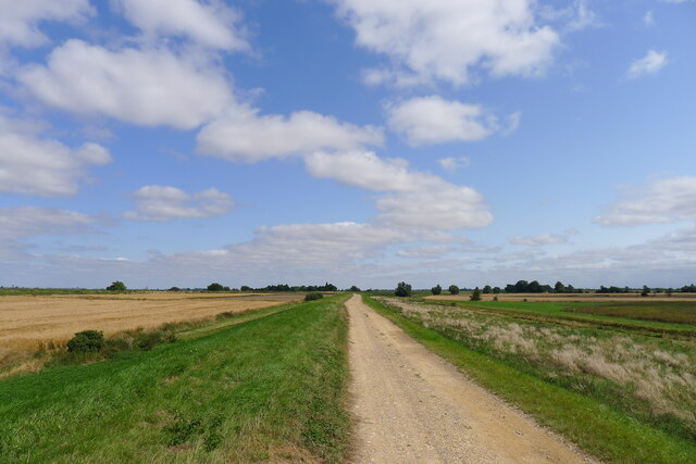
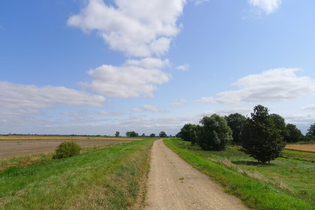
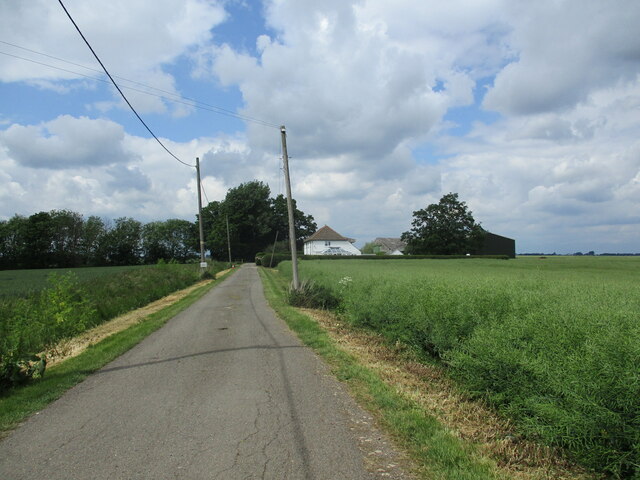
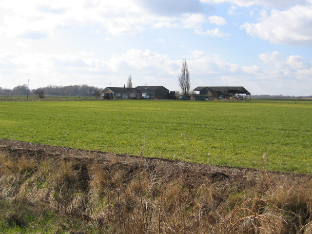
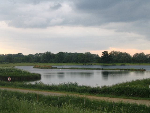
Stowgate is a small village located in the county of Lincolnshire, England. Situated near the town of Spalding, it lies on the eastern side of the county, close to the border with Norfolk. The village is nestled in a picturesque countryside setting, characterized by rolling green fields, meandering rivers, and charming rural landscapes.

With a population of around 500 residents, Stowgate is a tight-knit community that exudes a warm and friendly atmosphere. The village is known for its strong sense of community spirit, with residents actively participating in local events and initiatives. The village hall serves as a hub for various activities, including social gatherings, clubs, and classes, providing opportunities for residents to come together and engage in shared interests.

One of the notable features of Stowgate is its beautiful church, St. Mary's. Dating back to the 12th century, the church boasts stunning architecture and serves as a focal point for both religious and community events. The surrounding area offers ample opportunities for outdoor activities, such as walking, cycling, and fishing, with scenic trails and riverside spots easily accessible from the village.

While Stowgate is primarily a residential area, it benefits from its proximity to larger towns like Spalding, which provides a range of amenities including shops, supermarkets, schools, and healthcare facilities. Additionally, the village is well-connected to nearby towns and cities through a network of roads, making it a convenient location for commuters.

Overall, Stowgate offers a tranquil and idyllic setting for those seeking a peaceful village lifestyle, surrounded by natural beauty and a welcoming community.

If you have any feedback on the listing, please let us know in the comments section below.
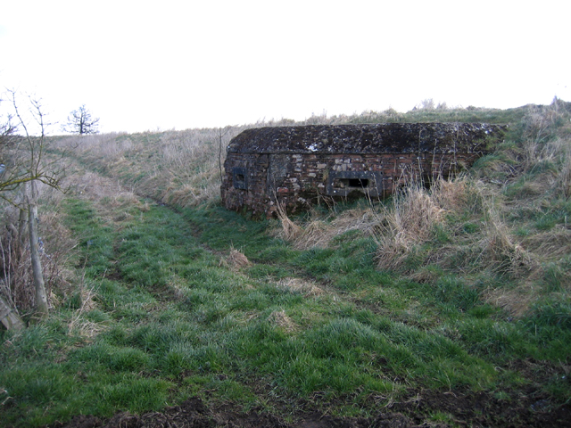
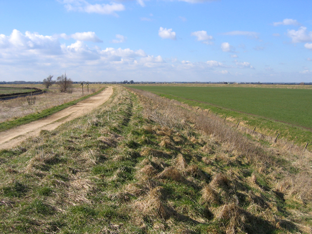
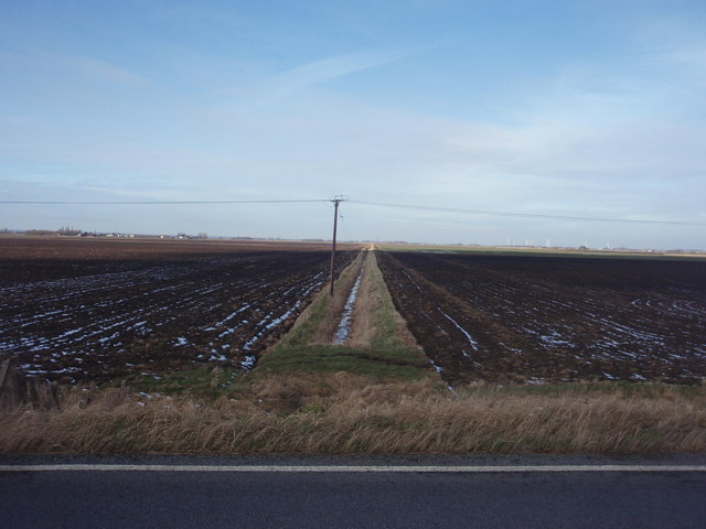
Stowgate Images

Images are sourced within 2km of 52.6768/-0.2327 or Grid Reference TF1910. Thanks to Geograph Open Source API. All images are credited.

Cycle Route 12 on Corporation Bank About half way between Peakirk and Crowland (ahead)
Cycle Route 12 on Corporation Bank
About half way between Peakirk and Crowland (ahead)
Corporation Bank leading towards Crowland The spire of Crowland Abbey church is visible on the left horizon (directly above the bush on the bank).
Corporation Bank leading towards Crowland
The spire of Crowland Abbey church is visible on the left horizon (directly above the bush on the bank).
Private Road near Stowgate This is also a public footpath.
Private Road near Stowgate
This is also a public footpath.
Willow Barn Farm, Borough Fen, Peterborough – view SW from Willow Drove.
Willow Barn Farm, Borough Fen, Peterborough
– view SW from Willow Drove.
Pill Box, Corporation Bank, Newborough, Peterborough built into the bank overlooking Crowland High Wash.
Pill Box, Corporation Bank, Newborough, Peterborough
built into the bank overlooking Crowland High Wash.
Corporation Bank, Newborough, Peterborough – view W over the Welland Washes.
Corporation Bank, Newborough, Peterborough
– view W over the Welland Washes.
Crowland Road Between this point and Four Mile Bar in <a href="https://www.geograph.org.uk/gridref/TF2515">TF2515</a> the road travels along the top of the River Welland flood bank. Wards Farm is in the centre distance.
Crowland Road
Between this point and Four Mile Bar in TF2515 the road travels along the top of the River Welland flood bank. Wards Farm is in the centre distance.
The River Welland The farmland on either side of the Welland is protected by substantial flood banks. The right hand bank is about 1 metre higher than the left which allows floodwater to flow into a storage area know as the Welland Washes. This in turn is bounded by Corporation Bank. See <a title="https://www.geograph.org.uk/photo/132935" href="https://www.geograph.org.uk/photo/132935">Link</a>
Note how high the river water level is compared to the farmland.
The River Welland
The farmland on either side of the Welland is protected by substantial flood banks. The right hand bank is about 1 metre higher than the left which allows floodwater to flow into a storage area know as the Welland Washes. This in turn is bounded by Corporation Bank. See Link Note how high the river water level is compared to the farmland.
The Welland Wash The Welland Wash is an area of land south of the River Welland, which can be flooded in an emergency to prevent risk to houses. They are used to grow crops, as they are very fertile. The Welland bank is visible and beyond it are the Deeping St. Nicholas Fen wind turbines.
The Welland Wash
The Welland Wash is an area of land south of the River Welland, which can be flooded in an emergency to prevent risk to houses. They are used to grow crops, as they are very fertile. The Welland bank is visible and beyond it are the Deeping St. Nicholas Fen wind turbines.
Drain through Crowland Common A typical fenland drain, running through Crowland Common. Viewed from the north Welland bank (Crowland Road).
Drain through Crowland Common
A typical fenland drain, running through Crowland Common. Viewed from the north Welland bank (Crowland Road).
Harvest's Over Now the cereal has been cut bales and rolls of straw stand in the fields.
Harvest's Over
Now the cereal has been cut bales and rolls of straw stand in the fields.
Baler problem fixed As we watched this baler ground to a halt and the operator had to stop the machine to fix the fault.  Now he returns to his cab.
Baler problem fixed
As we watched this baler ground to a halt and the operator had to stop the machine to fix the fault. Now he returns to his cab.
Owl Boxes South of Corporation Bank Crowland
Owl Boxes
South of Corporation Bank Crowland
Willow Drove The northern end of Willow Drove viewed from Corporation Bank
Willow Drove
The northern end of Willow Drove viewed from Corporation Bank
World War ll Pill Box Old WW2 pill box near Newborough
World War ll Pill Box
Old WW2 pill box near Newborough
The River Welland west of Crowland
Welland Bank
Welland Bank
End of road End of classified road and signpost
End of road
End of classified road and signpost
Show me another place!

Stowgate is located at Grid Ref: TF1910 (Lat: 52.6768, Lng: -0.2327)

Division: Parts of Kesteven

Administrative County: Lincolnshire

District: South Holland

Police Authority: Lincolnshire

What 3 Words

///rezoning.lottery.clipboard. Near Newborough, Cambridgeshire

Nearby Locations

Stowgate

Related Wikis

Stowgate

Stowgate is a small settlement in the South Kesteven district of Lincolnshire, England. It is situated approximately 2 miles (3 km) north-east from Deeping...

St James Deeping railway station

St James Deeping is a former railway station which served the village of Deeping St James and town of Market Deeping in Lincolnshire, England. It was on...
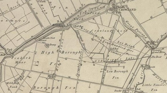
Borough Fen

Borough Fen is a civil parish in the City of Peterborough unitary authority in Cambridgeshire, England. The parish is to the north of Peterborough city...

Deeping Lakes Nature Reserve

Deeping Lakes Nature Reserve, also known as Deeping Gravel Pits is a local nature reserve with an area of over 160 acres located south-east of Deeping...

Frognall

Frognall is a small village in the South Kesteven district of Lincolnshire, England. It is situated just north-east of Deeping St James , to which it is...

Hop Pole

Hop Pole is a hamlet in the South Holland district of Lincolnshire, England. It is situated between Deeping St James and Deeping St Nicholas, and on the...

Deeping St James Priory

Deeping St James Priory was a priory in Deeping St James, Lincolnshire, England. It was a dependency of Thorney Abbey. == History == In 1139 Baldwin Fitz...

A1175 road

The A1175 road is a road in south-west Lincolnshire, England. It runs between Stamford and Spalding, along the old A16 route. == History == It was previously...

Nearby Amenities

Located within 500m of 52.6768,-0.2327
Stowgate Farm South
Historic Place: farm
Source: Bing
Lat/Long: 52.6737123/-0.2304617
Stowgate Farm
Place: farm
Source: Bing
Lat/Long: 52.6798324/-0.2346415
The data included in this document is from www.openstreetmap.org. The data is made available under ODbL.

Have you been to Stowgate?

Leave your review of Stowgate below (or comments, questions and feedback).