Bokiddick

Settlement in Cornwall

England

Bokiddick

Old Wayside Cross in Fenton Pits, Lanivet Fenton Pits Cross, a wayside cross with an old head and shaft. Set on the east side of the road in Fenton Pits in Lanivet parish. Langdon Mid Cornwall number 51. A Scheduled Monument <span class="nowrap"><a title="https://historicengland.org.uk/listing/the-list/list-entry/1012507" rel="nofollow ugc noopener" href="https://historicengland.org.uk/listing/the-list/list-entry/1012507">Link</a><img style="margin-left:2px;" alt="External link" title="External link - shift click to open in new window" src="https://s1.geograph.org.uk/img/external.png" width="10" height="10"/></span>. See also <span class="nowrap"><a title="http://www.flickr.com/photos/ocifant/1656598946" rel="nofollow ugc noopener" href="http://www.flickr.com/photos/ocifant/1656598946">Link</a><img style="margin-left:2px;" alt="External link" title="External link - shift click to open in new window" src="https://s1.geograph.org.uk/img/external.png" width="10" height="10"/></span> and <a title="https://www.geograph.org.uk/photo/155223" href="https://www.geograph.org.uk/photo/155223">Link</a>.

Milestone Society National ID: CWNC_LIV04
Old Wayside Cross in Fenton Pits, Lanivet Credit: L Nott

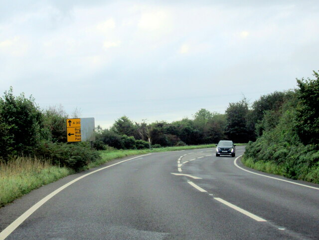
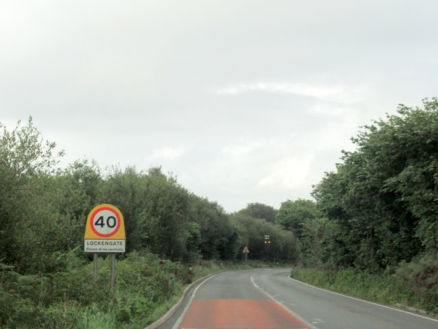
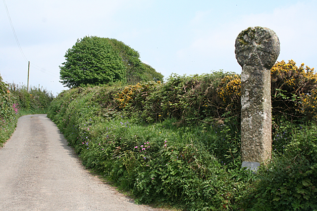
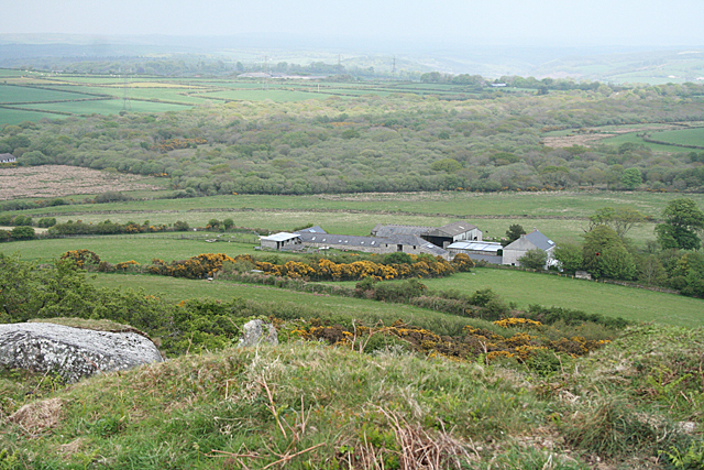
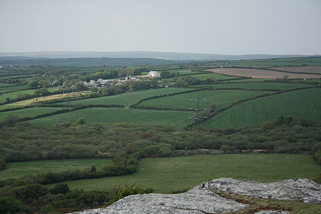
Bokiddick is a small rural hamlet located in the county of Cornwall, in the southwestern part of England. Situated approximately 5 miles northeast of the town of Bodmin, Bokiddick is nestled within the picturesque countryside of the area, surrounded by rolling hills and idyllic farmland.

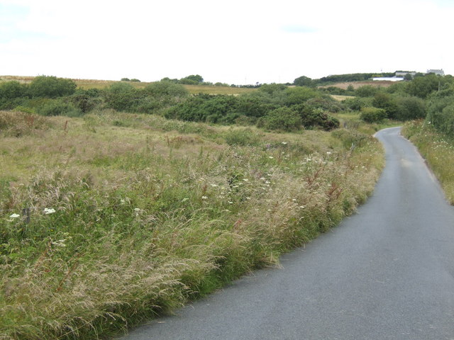
With a population of just a few hundred residents, Bokiddick offers a peaceful and tranquil atmosphere away from the hustle and bustle of larger towns and cities. The hamlet consists mainly of traditional stone-built cottages, giving it a charming and quintessentially Cornish feel.

Residents of Bokiddick enjoy the benefits of its convenient location, with easy access to nearby amenities. The town of Bodmin provides a range of services including shops, schools, and healthcare facilities, all just a short drive away. Additionally, the larger city of Truro can be reached within a 30-minute drive, offering a broader range of amenities and entertainment options.

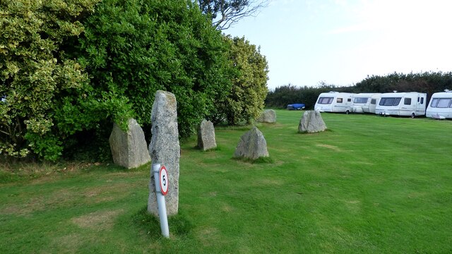
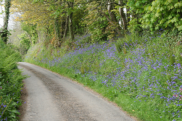
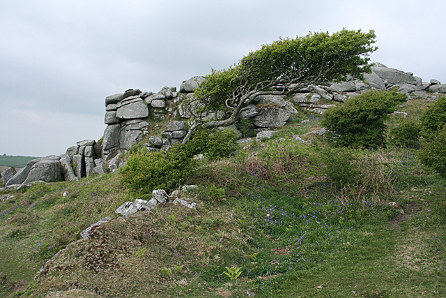
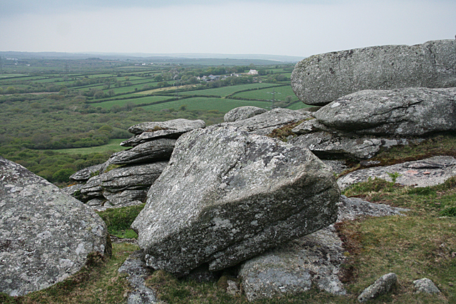
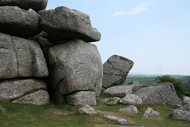
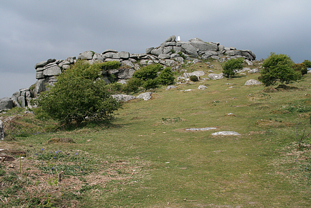
Nature enthusiasts are drawn to Bokiddick's scenic surroundings, which provide ample opportunities for outdoor activities. The nearby Bodmin Moor, an Area of Outstanding Natural Beauty, is a popular destination for hiking, cycling, and nature walks. The area is also rich in history, with ancient landmarks such as the Hurlers Stone Circles and the historic Bodmin Jail located within a few miles of Bokiddick.

Overall, Bokiddick offers a tranquil and picturesque setting for those seeking a peaceful rural lifestyle, while still benefiting from the convenience of nearby towns and amenities.

If you have any feedback on the listing, please let us know in the comments section below.
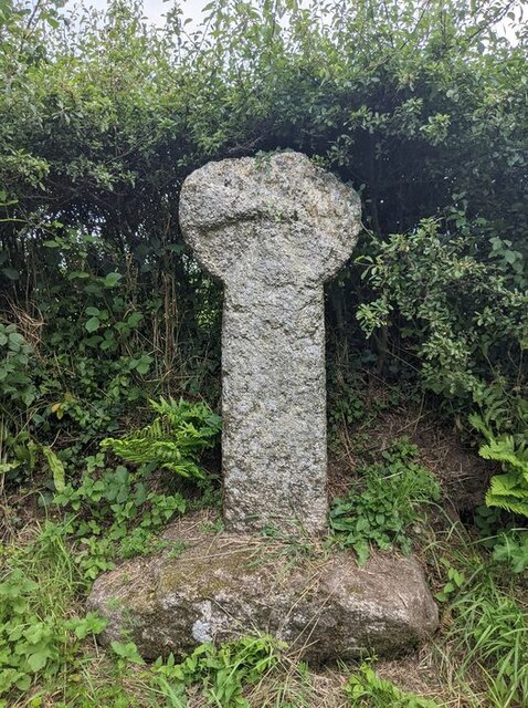
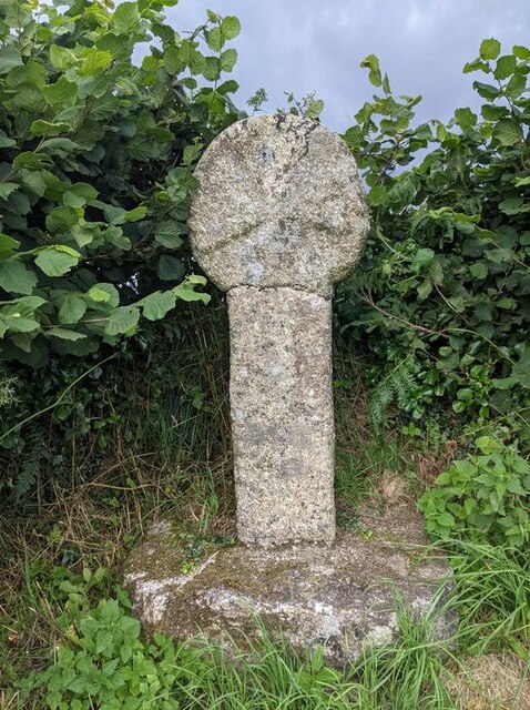
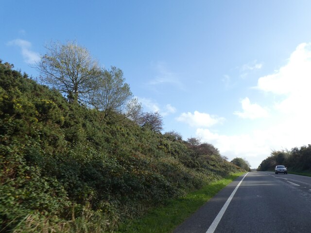
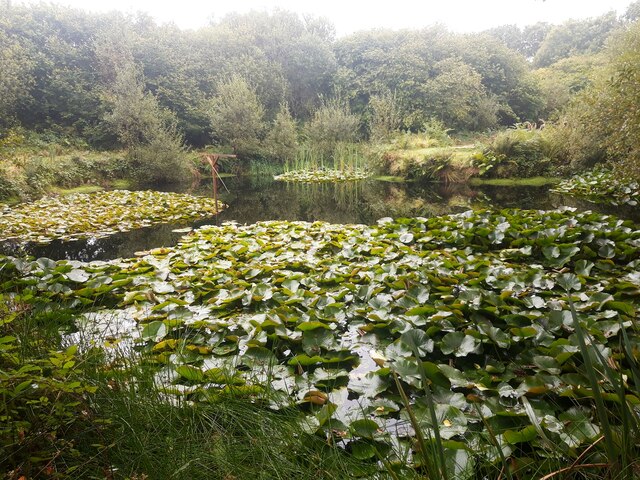
Bokiddick Images

Images are sourced within 2km of 50.426924/-4.744178 or Grid Reference SX0562. Thanks to Geograph Open Source API. All images are credited.

Old Wayside Cross in Fenton Pits, Lanivet Fenton Pits Cross, a wayside cross with an old head and shaft. Set on the east side of the road in Fenton Pits in Lanivet parish. Langdon Mid Cornwall number 51. A Scheduled Monument <span class="nowrap"><a title="https://historicengland.org.uk/listing/the-list/list-entry/1012507" rel="nofollow ugc noopener" href="https://historicengland.org.uk/listing/the-list/list-entry/1012507">Link</a><img style="margin-left:2px;" alt="External link" title="External link - shift click to open in new window" src="https://s1.geograph.org.uk/img/external.png" width="10" height="10"/></span>. See also <span class="nowrap"><a title="http://www.flickr.com/photos/ocifant/1656598946" rel="nofollow ugc noopener" href="http://www.flickr.com/photos/ocifant/1656598946">Link</a><img style="margin-left:2px;" alt="External link" title="External link - shift click to open in new window" src="https://s1.geograph.org.uk/img/external.png" width="10" height="10"/></span> and <a title="https://www.geograph.org.uk/photo/155223" href="https://www.geograph.org.uk/photo/155223">Link</a>.

Milestone Society National ID: CWNC_LIV04
Old Wayside Cross in Fenton Pits, Lanivet
Fenton Pits Cross, a wayside cross with an old head and shaft. Set on the east side of the road in Fenton Pits in Lanivet parish. Langdon Mid Cornwall number 51. A Scheduled Monument LinkExternal link. See also LinkExternal link and Link. Milestone Society National ID: CWNC_LIV04
Old Wayside Cross at St Ingunger, Lanivet St Ingunger Cross, a wayside cross with an old head and shaft. Set on the north side of a T junction, opposite a lane to Fenton Pits, in Lanivet parish. Langdon Mid Cornwall number 50. A Scheduled Monument <span class="nowrap"><a title="https://historicengland.org.uk/listing/the-list/list-entry/" rel="nofollow ugc noopener" href="https://historicengland.org.uk/listing/the-list/list-entry/">Link</a><img style="margin-left:2px;" alt="External link" title="External link - shift click to open in new window" src="https://s1.geograph.org.uk/img/external.png" width="10" height="10"/></span> 1007951. See also <span class="nowrap"><a title="http://www.flickr.com/photos/ocifant/1656595894," rel="nofollow ugc noopener" href="http://www.flickr.com/photos/ocifant/1656595894,">Link</a><img style="margin-left:2px;" alt="External link" title="External link - shift click to open in new window" src="https://s1.geograph.org.uk/img/external.png" width="10" height="10"/></span> <a title="https://www.geograph.org.uk/photo/1685630" href="https://www.geograph.org.uk/photo/1685630">Link</a> and <a title="https://www.geograph.org.uk/photo/2278867" href="https://www.geograph.org.uk/photo/2278867">Link</a>.

Milestone Society National ID: CWNC_LIV08
Old Wayside Cross at St Ingunger, Lanivet
St Ingunger Cross, a wayside cross with an old head and shaft. Set on the north side of a T junction, opposite a lane to Fenton Pits, in Lanivet parish. Langdon Mid Cornwall number 50. A Scheduled Monument LinkExternal link 1007951. See also LinkExternal link Link and Link. Milestone Society National ID: CWNC_LIV08
Scrub beside the A391 south of Innis Downs
Lily Pond at Mena Farm Campsite
Granite stones at Mena Farm Camp Site
The A30 west at Innis Downs
The A391 heading south from A30, Bodmin
The A391 at Lockengate village sign
Lanivet: ancient cross by Lesquite By the entrance to Lesquite farm
Lanivet: ancient cross by Lesquite
By the entrance to Lesquite farm
Lanivet: bluebell bank By the entrance to Fenton Farm. In the lane linking Tredinnick and Fenton Pits
Lanivet: bluebell bank
By the entrance to Fenton Farm. In the lane linking Tredinnick and Fenton Pits
Lanlivery: tree and tor On Helman Tor
Lanlivery: tree and tor
On Helman Tor
Lanlivery: Higher Trevilmick Farm seen from Helman Tor. On the edge of Red Moor Nature Reserve. In Lanlivery parish
Lanlivery: Higher Trevilmick
Farm seen from Helman Tor. On the edge of Red Moor Nature Reserve. In Lanlivery parish
Lanlivery: on Helman Tor Looking north west towards Bokiddick and Bokiddick Downs
Lanlivery: on Helman Tor
Looking north west towards Bokiddick and Bokiddick Downs
Lanlivery: Logan Stone On Helman Tor. The Logan Stone is top, centre. In Lanlivery parish
Lanlivery: Logan Stone
On Helman Tor. The Logan Stone is top, centre. In Lanlivery parish
Lanlivery: Bokiddick Seen from Helman Tor
Lanlivery: Bokiddick
Seen from Helman Tor
Lanlivery: Helman Tor The approach from the south; from the car park. The trig point on top of the tor has been painted white
Lanlivery: Helman Tor
The approach from the south; from the car park. The trig point on top of the tor has been painted white
Lanlivery: gate and stile These provide access to Helman Tor. The tor's small car park lies beyond, to the left
Lanlivery: gate and stile
These provide access to Helman Tor. The tor's small car park lies beyond, to the left
Bridge over A30 carrying minor road to Tregullon The minor road leads north to Tregullon <a href="https://www.geograph.org.uk/photo/2278714">SX0663 : Bridge over the A30</a>
Bridge over A30 carrying minor road to Tregullon
The minor road leads north to Tregullon SX0663 : Bridge over the A30
Show me another place!

Bokiddick is located at Grid Ref: SX0562 (Lat: 50.426924, Lng: -4.744178)

Unitary Authority: Cornwall

Police Authority: Devon and Cornwall

What 3 Words

///wasp.swatting.armrests. Near Bugle, Cornwall

Nearby Locations

Bokiddick Trebell Green

Related Wikis

Bokiddick

Bokiddick is a hamlet in Cornwall, England, United Kingdom. It is approximately one mile south of Lanivet at grid reference SX 051 622 and is centred on...

Breney Common

Breney Common is a nature reserve and Site of Special Scientific Interest, noted for its biological characteristics, in mid Cornwall, England, UK. It is...

Lowertown, Luxulyan

Lowertown is a hamlet in the civil parish of Luxulyan, where the population in the 2011 census was included, in Cornwall, England. Lowertown is approximately...

Mena, Cornwall

Mena is a hamlet in the parish of Lanivet in mid Cornwall, England. It should not be confused with Menna in the parish of Ladock. == References ==

Nearby Amenities

Located within 500m of 50.426924,-4.744178
Design: three-level
Power: tower
Lat/Long: 50.4247881/-4.7450857
Design: three-level
Power: tower
Lat/Long: 50.4253622/-4.740011
Bokiddick
Name Kw: Boskasek
Place: hamlet
Source: OS_OpenData_StreetView
Wikidata: Q4938777
Lat/Long: 50.4268514/-4.7450229
Give Way
Lat/Long: 50.4294378/-4.745773
The data included in this document is from www.openstreetmap.org. The data is made available under ODbL.

Have you been to Bokiddick?

Leave your review of Bokiddick below (or comments, questions and feedback).