Bohuntinville
Settlement in Inverness-shire
Scotland
Bohuntinville

Bohuntinville is a small village located in Inverness-shire, Scotland. Situated in the picturesque Scottish Highlands, Bohuntinville is known for its stunning natural beauty and tranquil atmosphere. The village is surrounded by lush green forests, rolling hills, and meandering rivers, making it a popular destination for outdoor enthusiasts and nature lovers.
Bohuntinville has a small population, with charming stone cottages and quaint shops lining its narrow streets. The village has a close-knit community, with residents often coming together for local events and gatherings. The village also has a primary school, a church, and a few small businesses that cater to the needs of the residents.
Visitors to Bohuntinville can enjoy a variety of outdoor activities, including hiking, fishing, and birdwatching. The village is also a great base for exploring the nearby Cairngorms National Park, home to diverse wildlife and stunning landscapes.
Overall, Bohuntinville offers a peaceful and idyllic retreat for those looking to escape the hustle and bustle of city life and immerse themselves in the natural beauty of the Scottish Highlands.
If you have any feedback on the listing, please let us know in the comments section below.
Bohuntinville Images
Images are sourced within 2km of 56.897345/-4.8256055 or Grid Reference NN2882. Thanks to Geograph Open Source API. All images are credited.


Bohuntinville is located at Grid Ref: NN2882 (Lat: 56.897345, Lng: -4.8256055)
Unitary Authority: Highland
Police Authority: Highlands and Islands
What 3 Words
///ribs.takers.redefined. Near Gairlochy, Highland
Nearby Locations
Related Wikis

Bohuntine
Bohuntine (Scottish Gaelic: Both Fhionndain) is a settlement located close to Roybridge, in Lochaber, within the Scottish Highlands, and is in the Highland...

Battle of Mulroy
The Battle of Mulroy (Blàr a' Mhaoil Ruaidh in Scottish Gaelic) was a Scottish clan battle fought in August 1688 in the Lochaber district of Scotland....
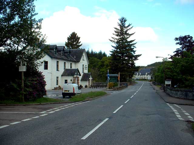
Roybridge
Roybridge (Scottish Gaelic: Drochaid Ruaidh, 'the bridge over the Roy') is a small village, that lies at the confluence of the rivers River Roy and River...
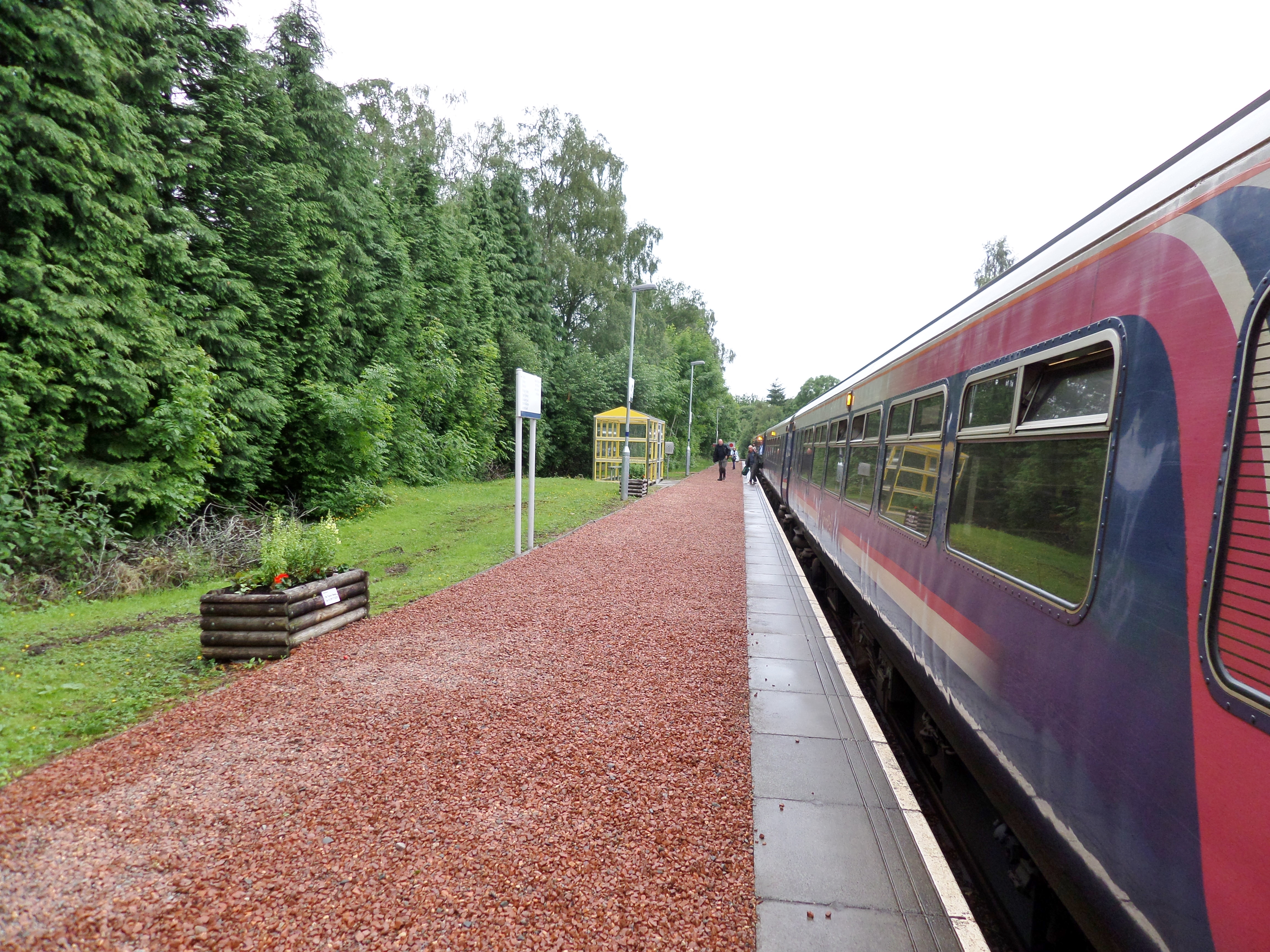
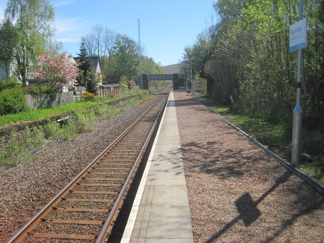
Roy Bridge railway station
Roy Bridge railway station is a railway station serving the village of Roybridge in the Highland region of Scotland. This station is on the West Highland...
Nearby Amenities
Located within 500m of 56.897345,-4.8256055Have you been to Bohuntinville?
Leave your review of Bohuntinville below (or comments, questions and feedback).