Bograxie

Settlement in Aberdeenshire

Scotland

Bograxie

Around the back of Scare hill Bennachie is a range of hills in Aberdeenshire, Scotland.It has several tops, the highest of which, Oxen Craig, has a height of 528 metres (1,732 ft). Though not particularly high, compared to other peaks within Scotland, the mountain is very prominent, owing to its isolation and the relative flatness of the surrounding terrain, and dominates the skyline from several viewpoints.
Around the back of Scare hill Credit: Ralph Greig

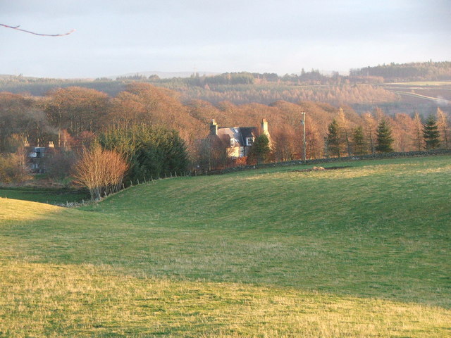
Bograxie is a small village located in Aberdeenshire, Scotland. Situated in the northeastern part of the country, it is nestled amidst picturesque countryside and rolling hills. The village is part of the larger parish of Fyvie and is approximately 10 miles northwest of the town of Turriff.

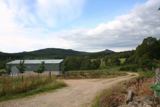
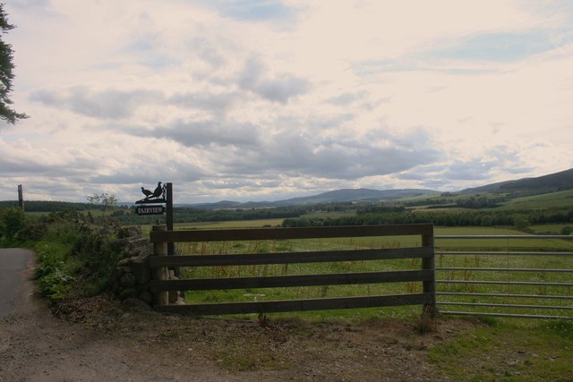
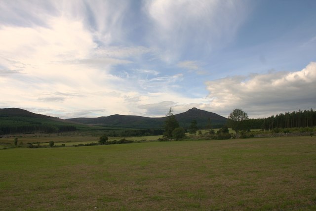
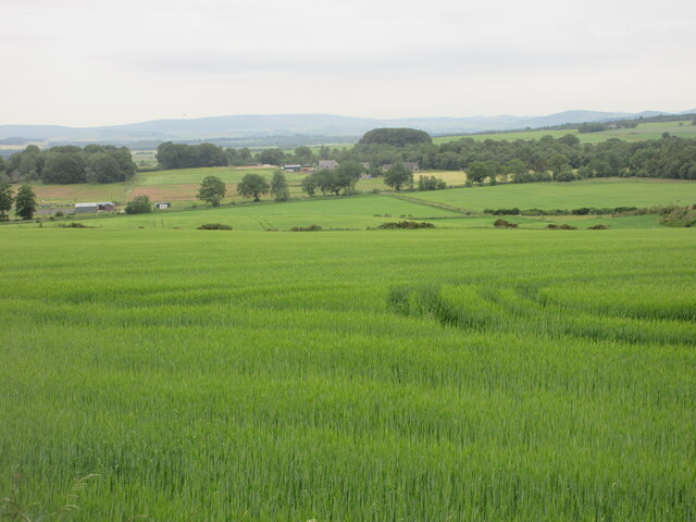
With a population of around 200 residents, Bograxie maintains a close-knit community atmosphere. The area is predominantly rural, characterized by a patchwork of farmland and scattered residential properties. The village is renowned for its tranquil and idyllic setting, making it an attractive destination for those seeking a peaceful retreat from the bustling city life.

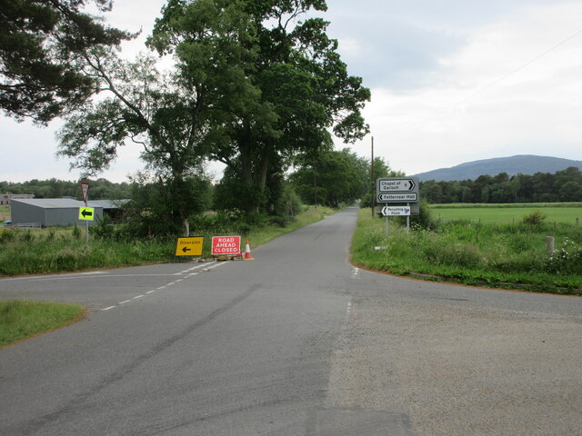
Bograxie does not have many amenities within its immediate vicinity. However, the nearby town of Turriff offers a range of services, including shops, supermarkets, schools, and healthcare facilities. Additionally, the village benefits from good transportation links, with frequent bus services connecting it to the surrounding areas.

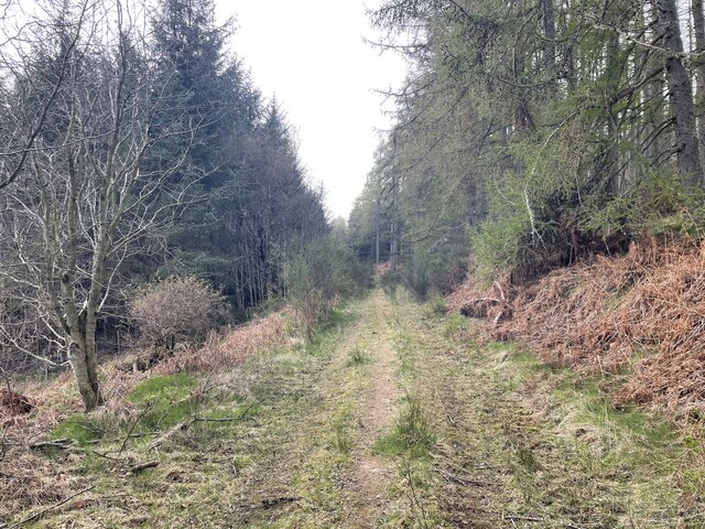
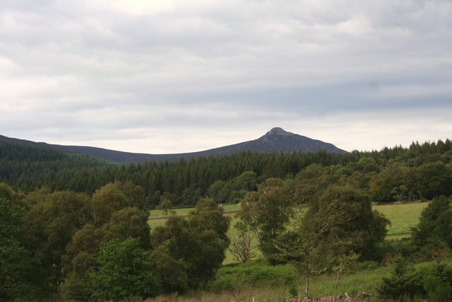
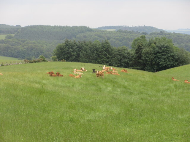
Nature enthusiasts will find plenty to explore in and around Bograxie. The Aberdeenshire countryside is teeming with wildlife, and the village's location provides an ideal starting point for outdoor activities such as hiking, cycling, and birdwatching. The beautiful Fyvie Castle, a prominent local landmark, is also just a short distance away, offering visitors a glimpse into the region's rich history and architectural heritage.

In summary, Bograxie is a charming and peaceful village in Aberdeenshire, Scotland. Its rural location, close community, and access to the stunning countryside make it an appealing place for those seeking a tranquil lifestyle and a connection with nature.

If you have any feedback on the listing, please let us know in the comments section below.

Bograxie Images

Images are sourced within 2km of 57.266333/-2.488511 or Grid Reference NJ7019. Thanks to Geograph Open Source API. All images are credited.

Around the back of Scare hill Bennachie is a range of hills in Aberdeenshire, Scotland.It has several tops, the highest of which, Oxen Craig, has a height of 528 metres (1,732 ft). Though not particularly high, compared to other peaks within Scotland, the mountain is very prominent, owing to its isolation and the relative flatness of the surrounding terrain, and dominates the skyline from several viewpoints.
Around the back of Scare hill
Bennachie is a range of hills in Aberdeenshire, Scotland.It has several tops, the highest of which, Oxen Craig, has a height of 528 metres (1,732 ft). Though not particularly high, compared to other peaks within Scotland, the mountain is very prominent, owing to its isolation and the relative flatness of the surrounding terrain, and dominates the skyline from several viewpoints.
Scottish Water stuff
Fairview Farm Fairview farm by Blairdaff.
Fairview Farm
Fairview farm by Blairdaff.
Fairview Farm Sign The roadside sign for Fairview Farm beside a field gate.
Fairview Farm Sign
The roadside sign for Fairview Farm beside a field gate.
The View at Fairview A view over farmland and woodland to Bennachie from the appropriately named Fairview.
The View at Fairview
A view over farmland and woodland to Bennachie from the appropriately named Fairview.
Trees Felled Forestry operations in a roadside clearing at Whitehill Wood.
Trees Felled
Forestry operations in a roadside clearing at Whitehill Wood.
Field Before Bennachie Farmland by Whitehill Woods with Bennachie in the distance.
Field Before Bennachie
Farmland by Whitehill Woods with Bennachie in the distance.
Douchries and Millstone Farmland to Douchries Farm with Millstone Hill behind.
Douchries and Millstone
Farmland to Douchries Farm with Millstone Hill behind.
Farmland to Scarehill Open farmland between Whitehill Wood and Scare Hill.
Farmland to Scarehill
Open farmland between Whitehill Wood and Scare Hill.
Road closed and diversion Road closed heading west near Fetternear Hall.
Road closed and diversion
Road closed heading west near Fetternear Hall.
Green field near Overton Looking south over fields and distant Aberdeenshire, near Overton.
Green field near Overton
Looking south over fields and distant Aberdeenshire, near Overton.
Resting cattle Cattle lying down in a field at West Aquhorthies.
Resting cattle
Cattle lying down in a field at West Aquhorthies.
Farm Building A farm building by the Hervie Burn perhaps once a cottage judging by the outhouses now a disused stable or barn.
Farm Building
A farm building by the Hervie Burn perhaps once a cottage judging by the outhouses now a disused stable or barn.
Mill and Bridge The disused Burnhervie Mill and the road bridge over the burn by it.
Mill and Bridge
The disused Burnhervie Mill and the road bridge over the burn by it.
Wetland by the Burn The Hervie Burn and wet bog with Aquhorthies Wood behind.
Wetland by the Burn
The Hervie Burn and wet bog with Aquhorthies Wood behind.
Wetland by Aquhorthies Wetland by the Hervie Burn with Aquhorthies Farm in the middle distance and Bennachie behind.
Wetland by Aquhorthies
Wetland by the Hervie Burn with Aquhorthies Farm in the middle distance and Bennachie behind.
Burnhervie Mill The disused mill by Burnhervie.
Burnhervie Mill
The disused mill by Burnhervie.
Mill Lade The dry mill lade at the disused Burnhervie Mill, the road bridge over the burn can be seen in the background.
Mill Lade
The dry mill lade at the disused Burnhervie Mill, the road bridge over the burn can be seen in the background.
Show me another place!

Bograxie is located at Grid Ref: NJ7019 (Lat: 57.266333, Lng: -2.488511)

Unitary Authority: Aberdeenshire

Police Authority: North East

What 3 Words

///imprints.grumble.spades. Near Kemnay, Aberdeenshire

Nearby Locations

White Hill Bograxie

Related Wikis

Related Videos

#hiking Bennachie of Mither Tap #travelblogger #hikingadventures #trail #daily #fyp #scotland #trip

Hiking with @aberdeenfrontrunners, Bennachie to Mither Tap. Bennachie is a range of hills in Aberdeenshire, Scotland.

Hiking up the Prettiest Hill in Aberdeenshire (so far)!

Millstone hill overlooking Bennachie and Pitfichie hill in Aberdeenshire. Music: Monplaiser by Brotherhood. Courtesy of https://free ...

Flying Around Bennachie

Welcome to a short flight beside Bennachie It's that hill on the horizon beside Inverurie There are four routes to get to the Peaks I ...

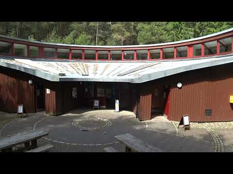
Bennachie Visitor Centre, Aberdeenshire

Take a tour round the Bennachie Visitor Centre which lies at the foot of North-East Scotland's most prominent landmark, the line of ...

Nearby Amenities

Located within 500m of 57.266333,-2.488511
Power: pole
Lat/Long: 57.2665135/-2.4957216
Power: pole
Lat/Long: 57.2664373/-2.4950765
Power: pole
Lat/Long: 57.2652093/-2.4891299
Power: pole
Lat/Long: 57.2658341/-2.4888794
Power: pole
Lat/Long: 57.2677275/-2.4873049
Power: pole
Lat/Long: 57.268628/-2.4824484
Power: pole
Lat/Long: 57.2683953/-2.4835217
Power: pole
Lat/Long: 57.2682203/-2.4844021
Power: pole
Lat/Long: 57.2680488/-2.4852381
Power: pole
Lat/Long: 57.2678534/-2.4862072
Power: pole
Lat/Long: 57.2675872/-2.4885578
Power: pole
Lat/Long: 57.2674553/-2.4897043
Power: pole
Lat/Long: 57.2673282/-2.4908042
Power: pole
Lat/Long: 57.2672023/-2.4919418
The data included in this document is from www.openstreetmap.org. The data is made available under ODbL.

Have you been to Bograxie?

Leave your review of Bograxie below (or comments, questions and feedback).