Boghall
Settlement in Midlothian
Scotland
Boghall
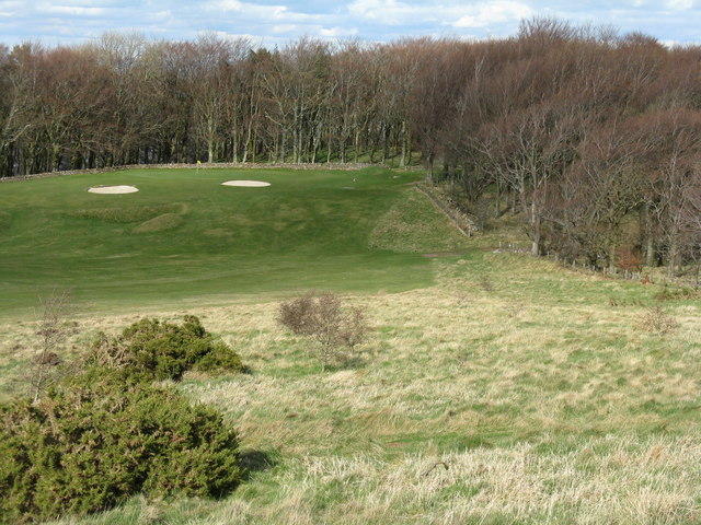
![Western Edinburgh from above Swanston Looking over Lothianburn golf course. To the left of the trees [the 'T-wood'] is the valley of the Swanston Burn, beyond which are the upper reaches of Swanston Golf Course, then Dreghorn and Redford Barracks and, even further in the distance, Corstorphine Hill and the Firth of Forth [11 km away]](https://s1.geograph.org.uk/geophotos/02/33/72/2337289_b81b7753.jpg)
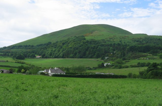
Boghall is a small village located in the county of Midlothian, Scotland. Situated approximately 2 miles northwest of Bathgate, the village is nestled in the scenic countryside, surrounded by rolling hills and lush green fields. With a population of around 500 residents, Boghall offers a tight-knit and friendly community atmosphere.
The village has a rich history, dating back to medieval times. It was originally an agricultural settlement, with farming being the primary occupation of its inhabitants. Today, while some agricultural activities still exist, Boghall has evolved into a residential area with a mix of traditional stone cottages and modern housing developments.
Despite its small size, Boghall offers a range of amenities to its residents. The village has a primary school, providing education for local children, and there are also several shops and local businesses catering to everyday needs. For recreational activities, residents can enjoy the nearby Bathgate Hills, which offer picturesque walking trails and stunning views of the surrounding landscape.
Boghall benefits from its proximity to Bathgate, which provides additional amenities and transport links. The village is well-connected to major cities such as Edinburgh and Glasgow, making it an ideal location for commuters.
In summary, Boghall is a charming village in Midlothian, Scotland, with a close-knit community, beautiful scenery, and convenient access to nearby towns. It offers a peaceful and idyllic setting for residents seeking a countryside lifestyle.
If you have any feedback on the listing, please let us know in the comments section below.
Boghall Images
Images are sourced within 2km of 55.873114/-3.2101621 or Grid Reference NT2465. Thanks to Geograph Open Source API. All images are credited.
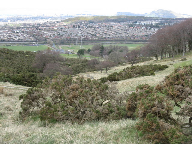
![Edinburgh from Hillend Looking northeastwards from just above the Midlothian Snowsports Centre, over Lothianburn Golf Course and Comiston to The Braid Hills, with Edinburgh Castle to the left [7km] and Salisbury Crags and Arthur&#039;s Seat to the right [7km], and the Firth of Forth, with Inchkeith island in the centre [17km].](https://s2.geograph.org.uk/geophotos/02/33/74/2337422_7b849218.jpg)


Boghall is located at Grid Ref: NT2465 (Lat: 55.873114, Lng: -3.2101621)
Unitary Authority: Midlothian
Police Authority: The Lothians and Scottish Borders
What 3 Words
///shunning.goals.innocence. Near Bilston, Midlothian
Nearby Locations
Related Wikis
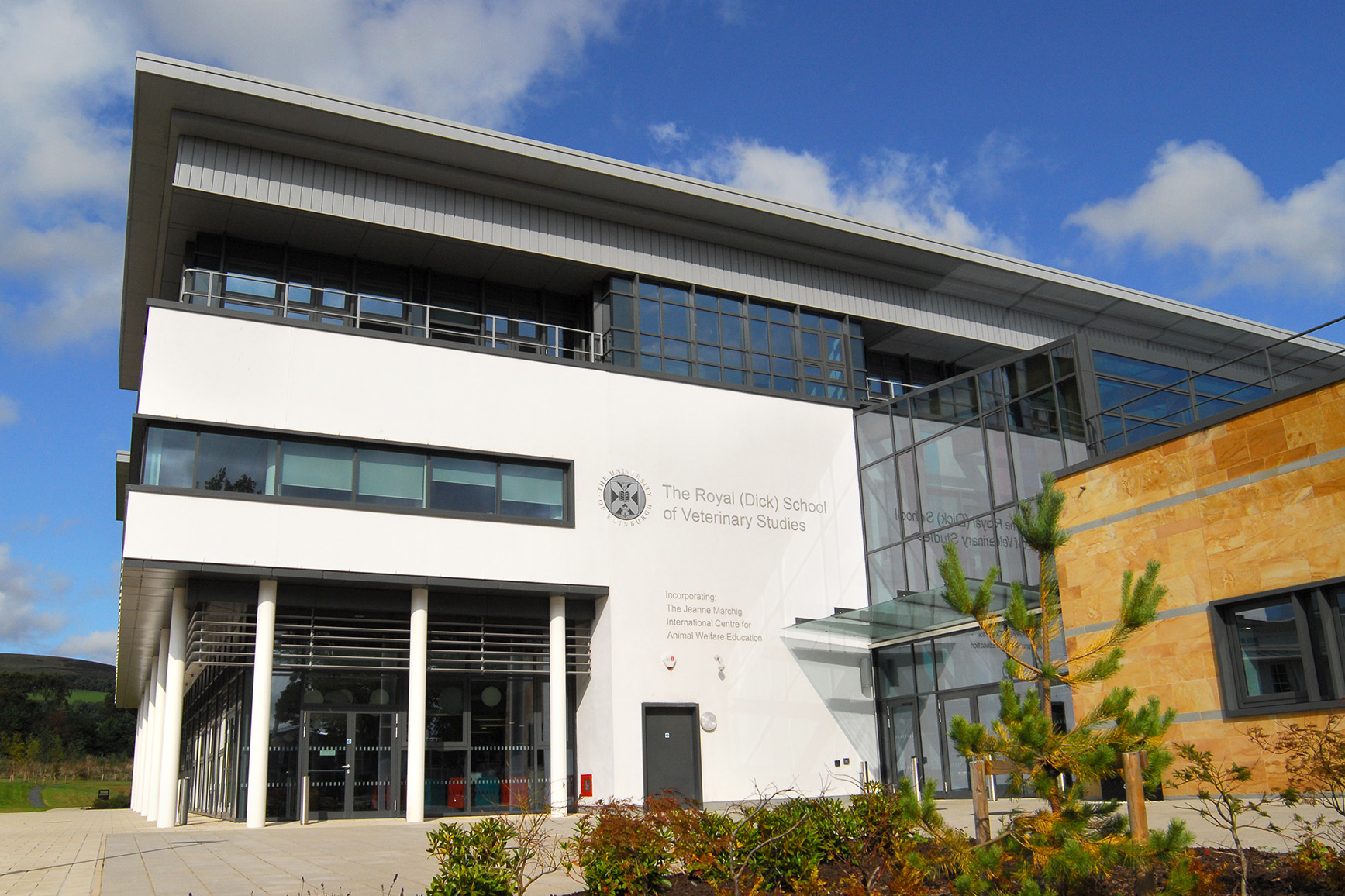
Royal (Dick) School of Veterinary Studies
The Royal (Dick) School of Veterinary Studies, commonly referred to as the Dick Vet, is the University of Edinburgh's vet school. It is part of the College...
Roslin Institute
The Roslin Institute is an animal sciences research institute at Easter Bush, Midlothian, Scotland, part of the University of Edinburgh, and is funded...

Easter Howgate
Easter Howgate is a settlement in Midlothian, Scotland, UK, on the A702, two miles north of Penicuik. The Scottish Agricultural College maintains a teaching...

Caerketton Hill
Caerketton Hill is a hill in the Pentland Hills range of Scotland. Standing at 478 m, it is at the northeast end of the approximately 25 km (16 mi) long...
Hillend, Edinburgh
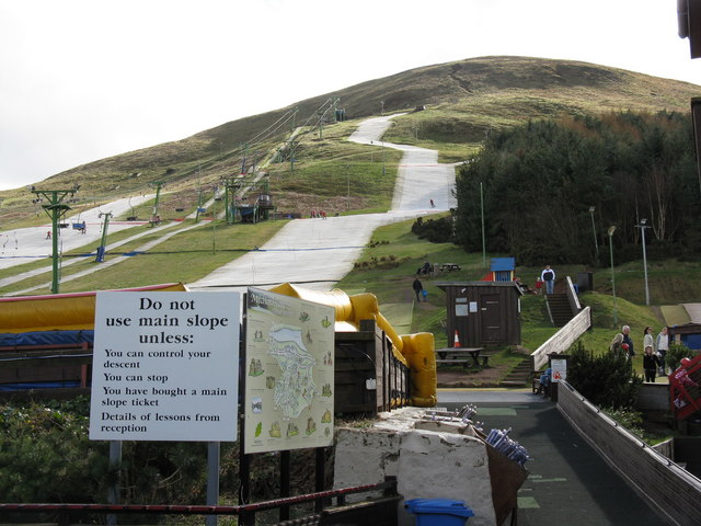
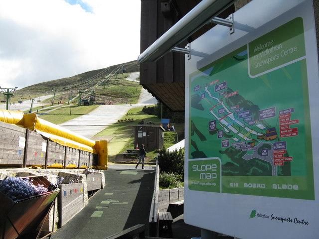
Hillend is a small hamlet in Midlothian, just outside the Scottish capital Edinburgh, best known for the Midlothian Snowsports Centre (formerly the Hillend...
BioCampus
The Biocampus is an enterprise area in Midlothian, Scotland. It is part of the larger Edinburgh Science Triangle, which includes the Edinburgh BioQuarter...

Castle Law
Castle Law is a hill south west of Fairmilehead in the Pentland Hills in Midlothian, Scotland. It is best known for the Iron Age hill fort on its slopes...
Bilston, Midlothian
Bilston is a small village in Midlothian, Scotland. It is located on the edge of Edinburgh, just south of Loanhead on the A701. The Bilston Burn Site of...
Nearby Amenities
Located within 500m of 55.873114,-3.2101621Have you been to Boghall?
Leave your review of Boghall below (or comments, questions and feedback).