Bogend

Settlement in Nottinghamshire Broxtowe

England

Bogend

Postbox on Maws Lane
Postbox on Maws Lane Credit: David Lally

Bogend is a small village located in the county of Nottinghamshire, in the East Midlands region of England. Situated approximately 6 miles east of Nottingham city center, Bogend is nestled in a picturesque countryside setting.

The village is known for its rural charm and tranquility, offering residents and visitors a peaceful escape from the bustling city life nearby. It is surrounded by rolling hills, meadows, and fields, providing ample opportunities for outdoor activities such as hiking, cycling, and horseback riding.

Bogend has a close-knit community, with a population of around 500 residents. The village features a few amenities, including a local pub, a primary school, and a village hall that serves as a community hub for various events and gatherings.

Historically, Bogend was primarily an agricultural village, with farming playing a significant role in the local economy. While the village has seen some development and modernization over the years, it has managed to retain its rustic charm and traditional character.

The village is well-connected to neighboring towns and cities, with good transport links via road and public transportation. This makes Bogend an attractive place to live for those seeking a quiet and rural lifestyle, while still having easy access to nearby urban areas.

Overall, Bogend is a peaceful and idyllic village, offering a close community spirit and a picturesque countryside setting for its residents to enjoy.

If you have any feedback on the listing, please let us know in the comments section below.
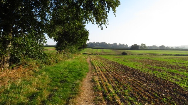
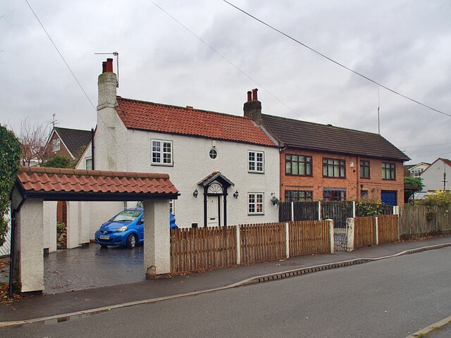
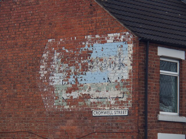
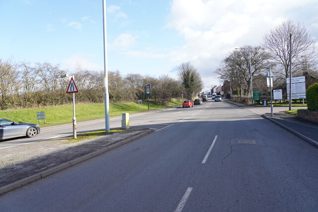
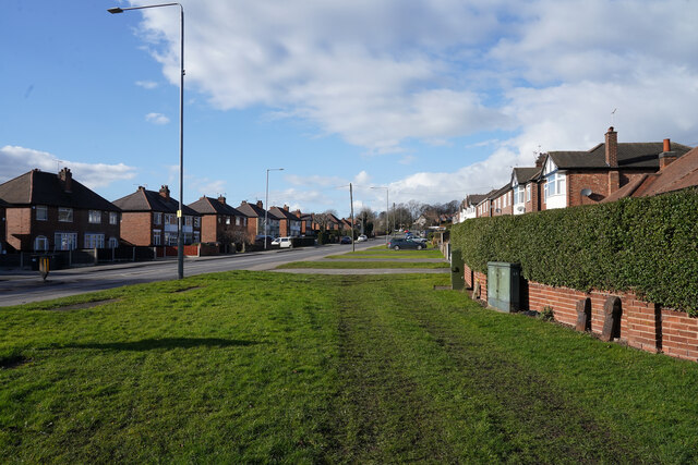
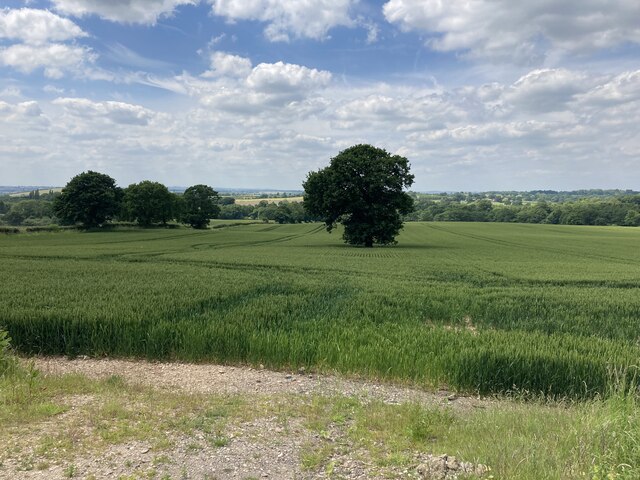
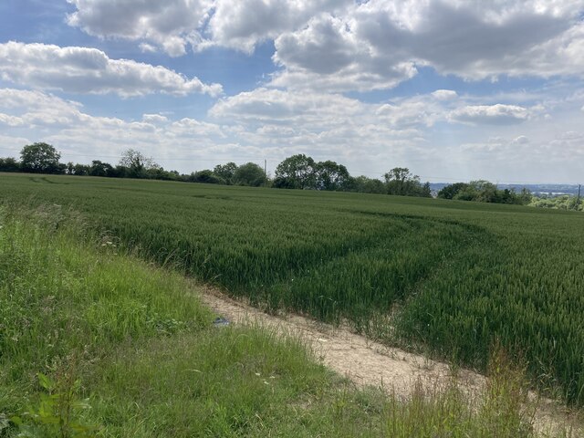
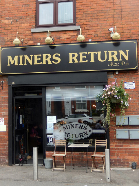
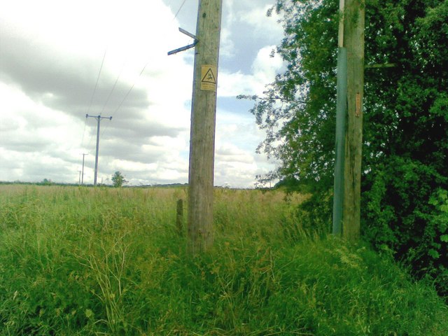
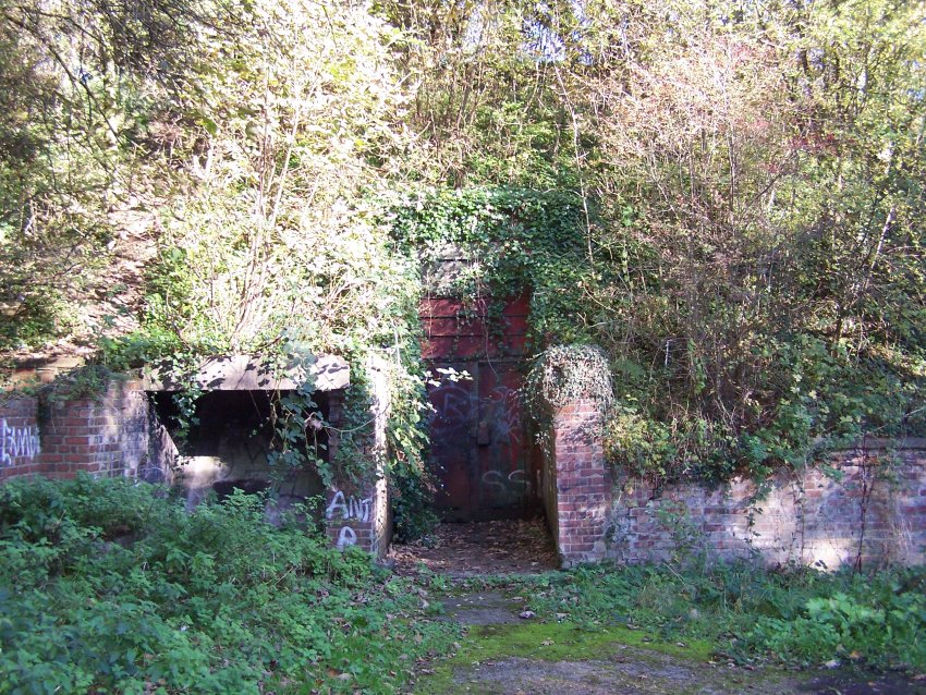
Bogend Images

Images are sourced within 2km of 53.017005/-1.262833 or Grid Reference SK4946. Thanks to Geograph Open Source API. All images are credited.

Postbox on Maws Lane
On the Robin Hood Way northwest of Kimberley
Robin Hood Way leading northeast towards Greasley
St Mary's Church, Greasley
Houses on Pinfold Road, Giltbrook
Ghost sign  Pointing the way to 'Gilbrook Dyers and Cleaners' whose premises were to the left of the sign but have now moved to Ilkeston.
Ghost sign
Pointing the way to 'Gilbrook Dyers and Cleaners' whose premises were to the left of the sign but have now moved to Ilkeston.
Giltbrook Dyers and Cleaners Ghost sign on a gable end on Cromwell Street. The sign was pointing the way to their premises but the company has moved and is now located in Ilkeston. Local knowledge from a walking colleague assisted in deciphering the wording.
For context see <a href="https://www.geograph.org.uk/photo/7045107">SK4845 : Ghost sign </a>.
Giltbrook Dyers and Cleaners
Ghost sign on a gable end on Cromwell Street. The sign was pointing the way to their premises but the company has moved and is now located in Ilkeston. Local knowledge from a walking colleague assisted in deciphering the wording. For context see SK4845 : Ghost sign .
Nottingham Road The Nottingham Road or The B6010 looking towards Newthorpe and Eastwood.
Nottingham Road
The Nottingham Road or The B6010 looking towards Newthorpe and Eastwood.
Nottingham Road Looking along the Nottingham Road from the corner of Pinfold Road. The grass verbe is very wide at this point.
Nottingham Road
Looking along the Nottingham Road from the corner of Pinfold Road. The grass verbe is very wide at this point.
Carved Tree In a tiny nature reserve.
Carved Tree
In a tiny nature reserve.
Farmland near Colliers Wood Pictured from a field entrance off New Road. Moorgreen Reservoir is located in the middle distance but out of sight here.
Farmland near Colliers Wood
Pictured from a field entrance off New Road. Moorgreen Reservoir is located in the middle distance but out of sight here.
Field of Wheat near Moorgreen Pictured from an un-gated entrance on New Road.
Field of Wheat near Moorgreen
Pictured from an un-gated entrance on New Road.
Caught & Bowled Micropub, Giltbrook There is an astonishing number of micropubs along the road from Nuthall to Langley Mill including this cricket-themed establishment in Giltbrook occupying a former newsagent's shop. Perhaps it was the loss of the Hardys and Hanson brewery in Kimberley, whose products were ubiquitous in this area, that spurred the trend.
Caught & Bowled Micropub, Giltbrook
There is an astonishing number of micropubs along the road from Nuthall to Langley Mill including this cricket-themed establishment in Giltbrook occupying a former newsagent's shop. Perhaps it was the loss of the Hardys and Hanson brewery in Kimberley, whose products were ubiquitous in this area, that spurred the trend.
Miners Return, Kimberley There can be few areas of the country so rich in micropubs as here along the old road from Nottingham to Heanor. One of them is the Miners Return sandwiched between a convenience store and a fish and chip shop on Eastwood Road at Kimberley. This was the site of Kimberley Miners' Welfare (a social club) and the mining heritage is acknowledged in the name of the pub.
Miners Return, Kimberley
There can be few areas of the country so rich in micropubs as here along the old road from Nottingham to Heanor. One of them is the Miners Return sandwiched between a convenience store and a fish and chip shop on Eastwood Road at Kimberley. This was the site of Kimberley Miners' Welfare (a social club) and the mining heritage is acknowledged in the name of the pub.
Electricity line, Eastwood
Mining memorial at Colliers Wood Park Looking east from near the car park.
See <a href="https://www.geograph.org.uk/photo/1587616">SK4848 : Mining reminders, Colliers Wood</a> and <a href="https://www.geograph.org.uk/photo/1549195">SK4847 : Pond at Colliers Wood</a>.
Mining memorial at Colliers Wood Park
Looking east from near the car park. See SK4848 : Mining reminders, Colliers Wood and SK4847 : Pond at Colliers Wood.
Collier's Wood Car Park
Collier's Wood and Footpath
Show me another place!

Bogend is located at Grid Ref: SK4946 (Lat: 53.017005, Lng: -1.262833)

Administrative County: Nottinghamshire

District: Broxtowe

Police Authority: Nottinghamshire

What 3 Words

///sponge.drawn.friends. Near Eastwood, Nottinghamshire

Related Wikis

Greasley

Greasley is a civil parish north west of Nottingham in Nottinghamshire, England. Although it is thought there was once a village called Greasley, there...

St Mary's Church, Greasley

St Mary's Church, Greasley is a parish church in the Church of England in Greasley, Nottinghamshire. The church is Grade II listed by the Department for...

Watnall

Watnall is an area in the Borough of Broxtowe in Nottinghamshire, England. It is part of Greasley civil parish, and is located one mile north of Kimberley...

Nottingham Weather Centre

The Nottingham Weather Centre (also referred to Nottingham Watnall) is a functioning observation and weather station located in Watnall, Nottinghamshire...

Newthorpe, Nottinghamshire

Newthorpe is a village in the English county of Nottinghamshire. It is in the Broxtowe Borough Council ward of Greasley (Giltbrook and Newthorpe). It forms...

RAF Watnall

RAF Watnall was the operational headquarters of No. 12 Group, RAF Fighter Command at Watnall in Nottinghamshire, England. == History == The station was...

Giltbrook

Giltbrook is a village in England situated approximately 6 miles (9.7 km) northwest of Nottingham and within close reach of junction 26 of the M1 motorway...

Watnall railway station

Watnall railway station was a station serving the village of Watnall in Nottinghamshire, England. The station opened in 1882 and closed in 1917. It was...

Related Videos

Walk through English Woodland in December

No food on this one, just a walk through some of the most beautiful woodland near to me at Moorgreen, Nottinghamshire just up ...

A SOLO HIKE UK 4K - through a medieval forest.

Decided to go for another hike as we haven't been out camping in a few weeks. It did not disappoint, what a place. even stopped ...

Grand Daughters first walking Unicorn. Thank you Sainsbury’s

Half price from Sainsbury's becomes priceless. One happy Grand Daughter.

Nearby Amenities

Located within 500m of 53.017005,-1.262833
Bus Stop
Church Road
Bus: yes
Naptan AtcoCode: 3300BR0196
Naptan Bearing: SE
Naptan CommonName: Church Road
Naptan Crossing: Church Road
Naptan Indicator: adj
Naptan NaptanCode: ntsdapwg
Naptan Notes: BW
Naptan Street: Main Road
Naptan Verified: no
Public Transport: platform
Shelter: no
Source: naptan_import
Lat/Long: 53.0176365/-1.2661436
Church Road
Naptan AtcoCode: 3300BR0507
Naptan Bearing: NW
Naptan BusStopType: CUS
Naptan CommonName: Church Road
Naptan Crossing: Church Road
Naptan Indicator: opp
Naptan NaptanCode: ntsgmtam
Naptan Notes: 3300BR0196
Naptan Street: Main Road
Naptan Verified: no
Source: naptan_import
Lat/Long: 53.0175384/-1.2662794
Bogend
Alt Name: Bog-End
Place: hamlet
Lat/Long: 53.0166707/-1.2643562
Pipeline: marker
Substance: gas
Lat/Long: 53.017791/-1.2650129
Waste Basket
Lat/Long: 53.017887/-1.2653629
Bench
Lat/Long: 53.0178934/-1.2653871
Pipeline: marker
Substance: gas
Lat/Long: 53.0168995/-1.263755
The data included in this document is from www.openstreetmap.org. The data is made available under ODbL.

Have you been to Bogend?

Leave your review of Bogend below (or comments, questions and feedback).