Stareton
Settlement in Warwickshire Warwick
England
Stareton

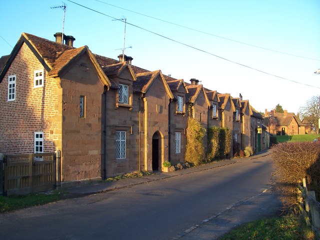
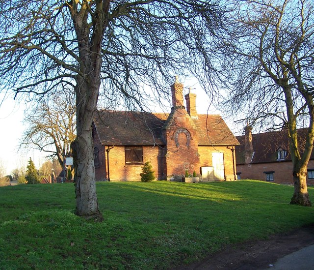
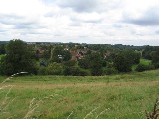
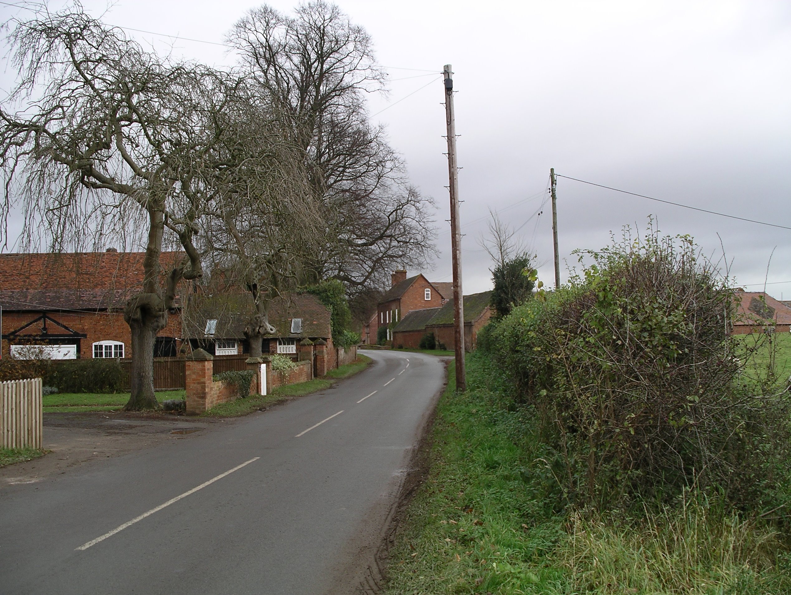
Stareton is a small village located in the county of Warwickshire, England. Situated approximately 5 miles south of the town of Kenilworth, Stareton is a rural settlement surrounded by picturesque countryside and farmland.
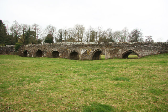
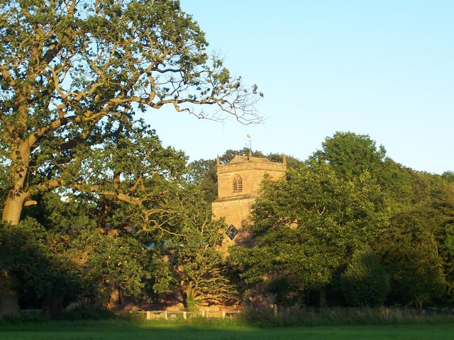
The village is known for its historic significance, dating back to the medieval times. It features a number of well-preserved buildings from different eras, including Stareton Hall, a Grade II listed country house that was built in the 18th century. The hall boasts elegant architecture and beautiful landscaped gardens, making it a popular attraction for visitors and history enthusiasts.
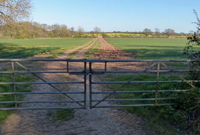
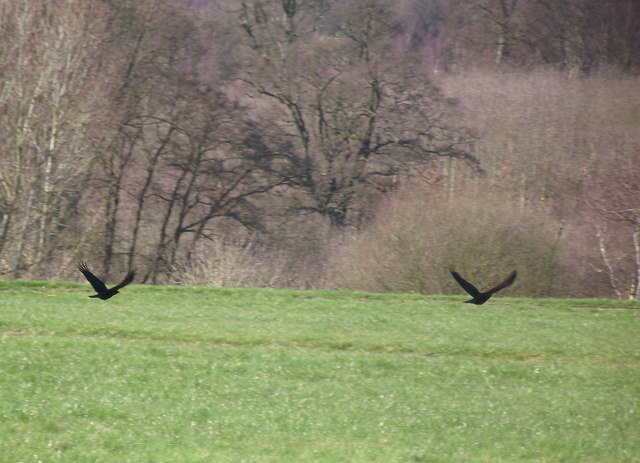
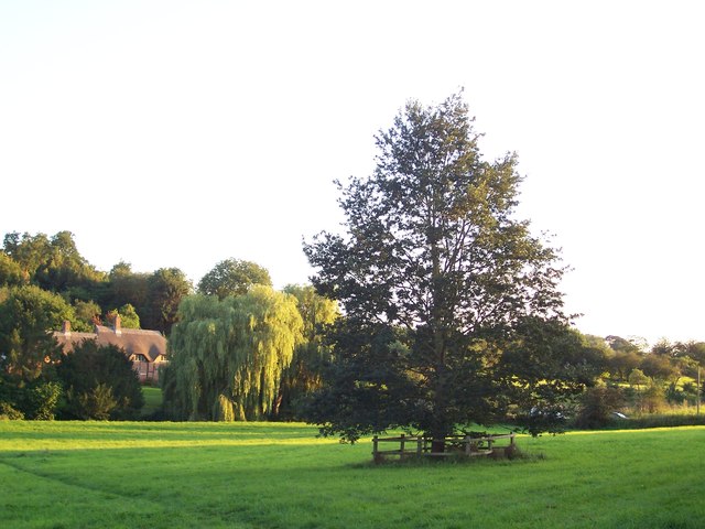
Despite its small size, Stareton offers a tranquil and peaceful atmosphere, appealing to those looking to escape the hustle and bustle of city life. The village is characterized by its idyllic surroundings and scenic views, making it a popular destination for nature lovers and hikers. There are several walking trails in the area that allow visitors to explore the stunning Warwickshire countryside.
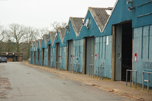
Stareton is also home to the famous Stoneleigh Park, an agricultural and events venue that hosts various exhibitions, conferences, and shows throughout the year. The park attracts a wide range of visitors, including farmers, businesses, and tourists, contributing to the local economy.
Overall, Stareton is a charming village that combines its rich history with natural beauty, offering a peaceful retreat for residents and visitors alike.
If you have any feedback on the listing, please let us know in the comments section below.
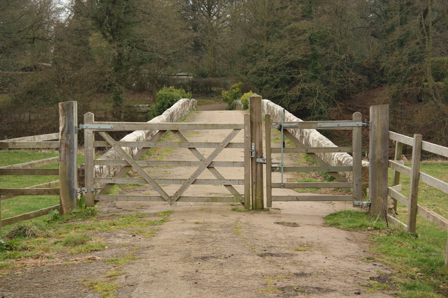
Stareton Images
Images are sourced within 2km of 52.340616/-1.508985 or Grid Reference SP3371. Thanks to Geograph Open Source API. All images are credited.


Stareton is located at Grid Ref: SP3371 (Lat: 52.340616, Lng: -1.508985)
Administrative County: Warwickshire
District: Warwick
Police Authority: Warwickshire
What 3 Words
///spill.being.cube. Near Kenilworth, Warwickshire
Nearby Locations
Related Wikis
Stareton
Stareton is a small hamlet in Warwickshire, England. The population is included within Stoneleigh parish. It is situated about half a mile from Stoneleigh...

Rare Breeds Survival Trust
The Rare Breeds Survival Trust is a conservation charity whose purpose is to secure the continued existence and viability of the native farm animal genetic...
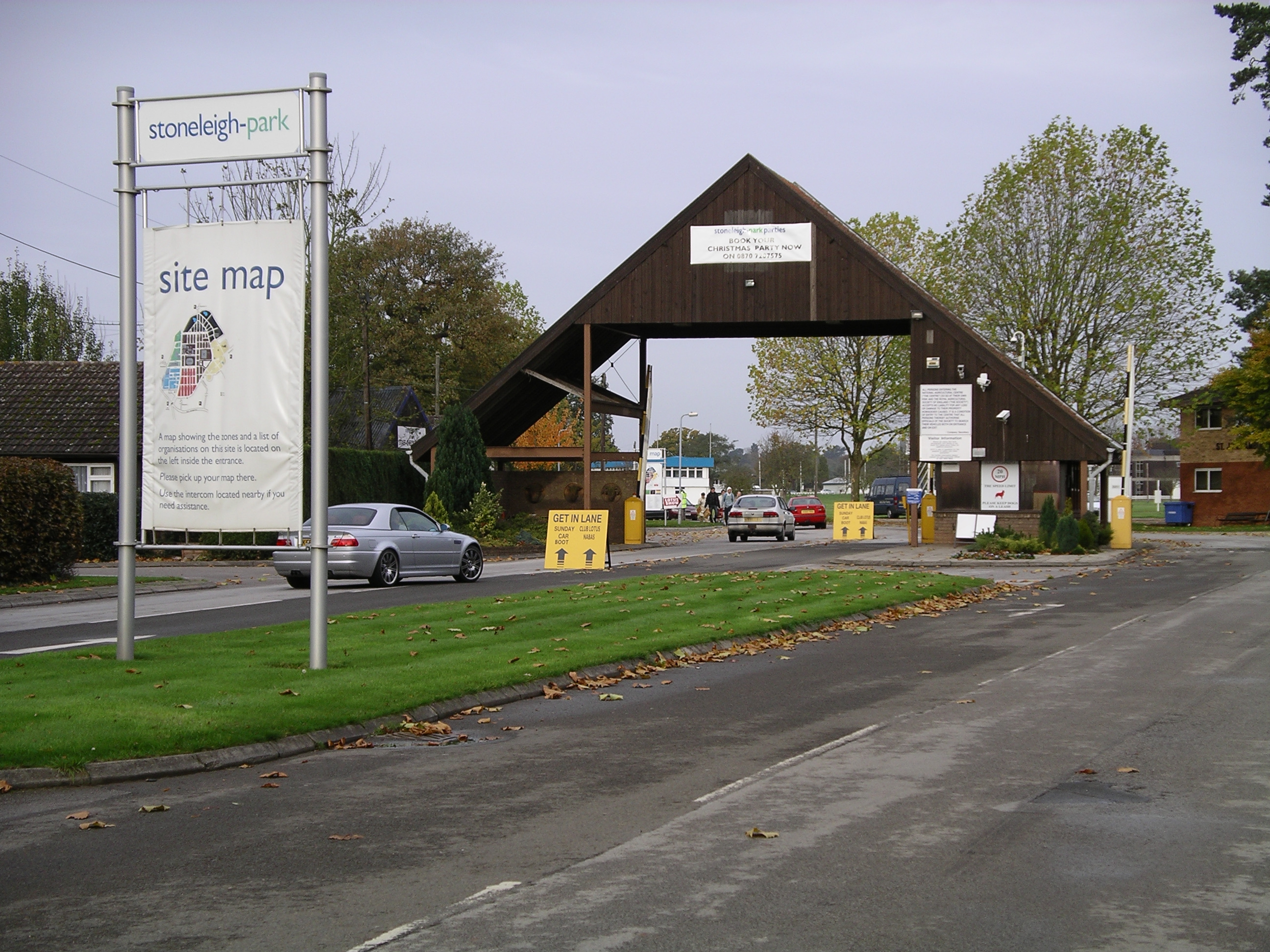
Stoneleigh Park
Stoneleigh Park, known between 1963 and 2013 as the National Agricultural Centre, is a business park located south-west of the village of Stoneleigh, Warwickshire...
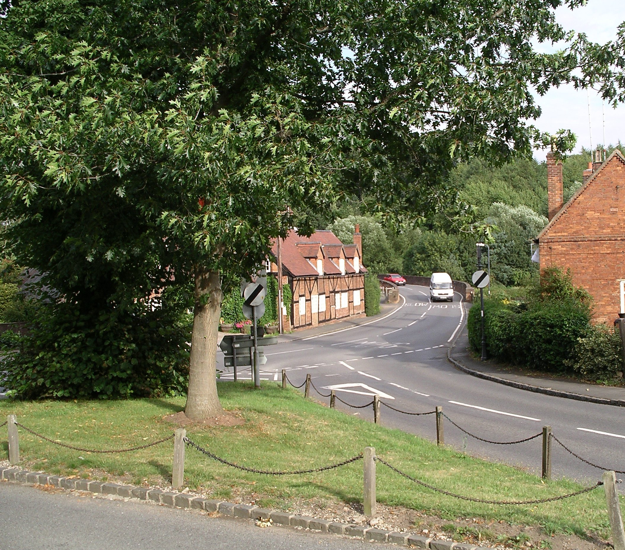
Stoneleigh, Warwickshire
Stoneleigh is a small village in Warwickshire, England, on the River Sowe, situated 4.5 miles (7.25 km) south of Coventry and 5.5 miles (9 km) north of...
Nearby Amenities
Located within 500m of 52.340616,-1.508985Have you been to Stareton?
Leave your review of Stareton below (or comments, questions and feedback).