Bodferin

Settlement in Caernarfonshire

Wales

Bodferin

Porth Oer, or Whistling Sands A view from the north end of the beach which is claimed to be one of only two places in Europe where the shape of the sand particles produces a squeaking noise when walked upon.
Porth Oer, or Whistling Sands Credit: Peter Barr

Bodferin is a small village located in the county of Caernarfonshire, Wales. Situated in the picturesque countryside, it is nestled in the foothills of the Snowdonia National Park. The village is known for its stunning natural beauty, with rolling hills, lush green meadows, and breathtaking views of the surrounding mountains.

With a population of around 200 residents, Bodferin maintains a close-knit community atmosphere. The village is characterized by its traditional Welsh architecture, with many houses built from local stone and slate roofs. It exudes a peaceful and tranquil ambiance, making it a popular destination for those seeking a quiet retreat from the hustle and bustle of city life.

Although small in size, Bodferin offers a range of amenities for its residents and visitors. The village has a local pub, which serves as a social hub and meeting place for locals. Additionally, there is a community center that hosts various events and activities throughout the year, fostering a sense of community spirit.

For outdoor enthusiasts, Bodferin is a paradise. The village provides easy access to the stunning landscapes of Snowdonia National Park, offering countless opportunities for hiking, cycling, and wildlife spotting. The nearby Afon Glaslyn river is a popular spot for fishing and kayaking.

In conclusion, Bodferin is a charming and idyllic village in Caernarfonshire, Wales. With its natural beauty, close-knit community, and proximity to the Snowdonia National Park, it is a haven for those seeking a peaceful and scenic retreat.

If you have any feedback on the listing, please let us know in the comments section below.
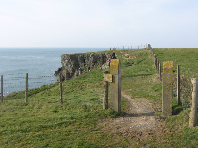
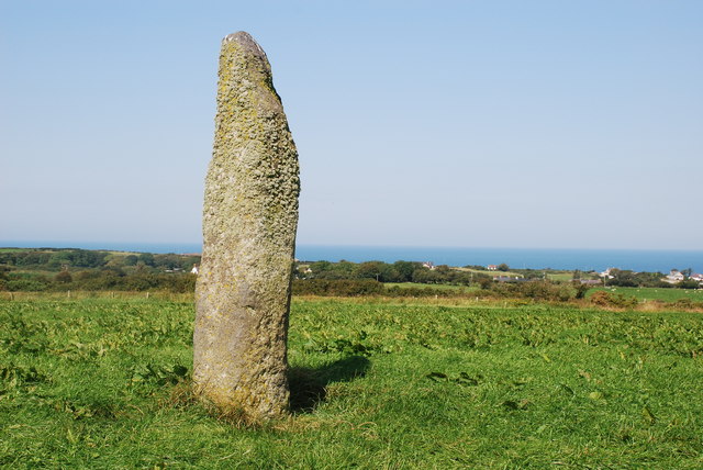
Bodferin Images

Images are sourced within 2km of 52.845668/-4.7039582 or Grid Reference SH1831. Thanks to Geograph Open Source API. All images are credited.

Porth Oer, or Whistling Sands A view from the north end of the beach which is claimed to be one of only two places in Europe where the shape of the sand particles produces a squeaking noise when walked upon.
Porth Oer, or Whistling Sands
A view from the north end of the beach which is claimed to be one of only two places in Europe where the shape of the sand particles produces a squeaking noise when walked upon.
The Site of St Merin's Church The earthworks in the field are all that is left of the church.  Ty-mawr farm is in the distance.
The Site of St Merin's Church
The earthworks in the field are all that is left of the church. Ty-mawr farm is in the distance.
Ruined Agricultural Buildings, Methlem
Field east of Rhydlios Mynydd Rhiw is seen in the distance on the left.
Field east of Rhydlios
Mynydd Rhiw is seen in the distance on the left.
Porth Oer....Whistling Sands, Llyn Peninsula, Wales Close to the village of Methlem and just under 3 miles from Aberdaron on the Llyn Peninsula, North Wales - Porth Oer is a small inlet off the Irish Sea that was once a busy port.
It is part of a National Trust estate.
Porth Oer is also known as Whistling Sands due to the unique sound it makes as you walk on the dry sand once the tide has receded. 
The sands (perfectly spherical silica crystals) really do squeak & whistle but it has to be at the right humidity and warm temperature - so don't expect it every time you visit.
The sound is produced by a combination of the unique shape of the sand particles and the pressure they are put under when stamping or sliding your feet on the sand.  This only occurs on two beaches in the whole of Europe. 
An ideal beach for surfing, body-boarding, or simply relaxing and enjoying some quiet time.  
Oh - and a coffee and maybe something to eat from the cafe by the beach (the chips are good!)  Food with a wonderful view!
Porth Oer....Whistling Sands, Llyn Peninsula, Wales
Close to the village of Methlem and just under 3 miles from Aberdaron on the Llyn Peninsula, North Wales - Porth Oer is a small inlet off the Irish Sea that was once a busy port. It is part of a National Trust estate. Porth Oer is also known as Whistling Sands due to the unique sound it makes as you walk on the dry sand once the tide has receded. The sands (perfectly spherical silica crystals) really do squeak & whistle but it has to be at the right humidity and warm temperature - so don't expect it every time you visit. The sound is produced by a combination of the unique shape of the sand particles and the pressure they are put under when stamping or sliding your feet on the sand. This only occurs on two beaches in the whole of Europe. An ideal beach for surfing, body-boarding, or simply relaxing and enjoying some quiet time. Oh - and a coffee and maybe something to eat from the cafe by the beach (the chips are good!) Food with a wonderful view!
A lane leaving Methlem
The former chapel at Rhydlios Built in 1904, it seems to have had a useful life of only 100 years or so. There is no sign of conversion, either of the chapel or of what I assume to be the incumbent's house (attached, on the right): both still appear derelict.
The former chapel at Rhydlios
Built in 1904, it seems to have had a useful life of only 100 years or so. There is no sign of conversion, either of the chapel or of what I assume to be the incumbent's house (attached, on the right): both still appear derelict.
North Wales WWII defences: Methlem Beach, Porth Oer - loopholed wall (1) -
Loopholed wall: EDoB ID: e35602

A wall with a single loop at the base and created with local rock, it effectively closed off the exit from the beach at this point. Previously identified from a distance as a buried type 26 pillbox, it has since been confirmed as a loopholed wall.

<a href="https://www.geograph.org.uk/photo/5410868">SH1630 : North Wales WWII defences: Methlem Beach, Porth Oer - loopholed wall (2)</a>
North Wales WWII defences: Methlem Beach, Porth Oer - loopholed wall (1)
- Loopholed wall: EDoB ID: e35602 A wall with a single loop at the base and created with local rock, it effectively closed off the exit from the beach at this point. Previously identified from a distance as a buried type 26 pillbox, it has since been confirmed as a loopholed wall. SH1630 : North Wales WWII defences: Methlem Beach, Porth Oer - loopholed wall (2)
North Wales WWII defences: Methlem Beach, Porth Oer - loopholed wall (2) -
Loopholed wall: EDoB ID: e35602

The wall partially blocks the footpath, and has an opening at the base that is assumed to be a firing position. The castellated top of local stone is often found on 'mini Welsh Castle' pillboxes.

<a href="https://www.geograph.org.uk/photo/5410874">SH1630 : North Wales WWII defences: Methlem Beach, Porth Oer - loopholed wall (3)</a>
North Wales WWII defences: Methlem Beach, Porth Oer - loopholed wall (2)
- Loopholed wall: EDoB ID: e35602 The wall partially blocks the footpath, and has an opening at the base that is assumed to be a firing position. The castellated top of local stone is often found on 'mini Welsh Castle' pillboxes. SH1630 : North Wales WWII defences: Methlem Beach, Porth Oer - loopholed wall (3)
North Wales WWII defences: Methlem Beach, Porth Oer - loopholed wall (3) -
Loopholed wall: EDoB ID: e35602

A close-up view of the wall with its castellated top.

<a href="https://www.geograph.org.uk/photo/5410860">SH1630 : North Wales WWII defences: Methlem Beach, Porth Oer - loopholed wall (1)</a>
North Wales WWII defences: Methlem Beach, Porth Oer - loopholed wall (3)
- Loopholed wall: EDoB ID: e35602 A close-up view of the wall with its castellated top. SH1630 : North Wales WWII defences: Methlem Beach, Porth Oer - loopholed wall (1)
Curious structure at Methlem Beach - Porth Oer (4) Just a few yards uphill above the wall and the footpath is another curiosity. I would welcome any suggestions as to what it might be. It appears to be included on a children's educational itinerary of the area (label attached to blue string on left).

Update: I have since discovered that this particular structure is an C18 lime kiln: <span class="nowrap"><a title="http://map.coflein.gov.uk/index.php?action=do_details&cache_name=cG5tcnNuYW1lLFBvcnRoIE9lcl9zZWFyY2h0eXBlLGFkdmFuY2VkX29yYQ==&numlink=420802#tabs-4" rel="nofollow ugc noopener" href="http://map.coflein.gov.uk/index.php?action=do_details&cache_name=cG5tcnNuYW1lLFBvcnRoIE9lcl9zZWFyY2h0eXBlLGFkdmFuY2VkX29yYQ==&numlink=420802#tabs-4">Link</a><img style="margin-left:2px;" alt="External link" title="External link - shift click to open in new window" src="https://s1.geograph.org.uk/img/external.png" width="10" height="10"/></span>
Curious structure at Methlem Beach - Porth Oer (4)
Just a few yards uphill above the wall and the footpath is another curiosity. I would welcome any suggestions as to what it might be. It appears to be included on a children's educational itinerary of the area (label attached to blue string on left). Update: I have since discovered that this particular structure is an C18 lime kiln: LinkExternal link
The classic view of Porth Iago from the Coast Path
Rocks and cliffs at Porth Iago
Looking in to Porth Iago from Dinas
Rocks at Dinas, Porth Iago Looking towards Maen Mellt (which translates as Lightning Rock).
Rocks at Dinas, Porth Iago
Looking towards Maen Mellt (which translates as Lightning Rock).
Maen Mellt seen from Dinas Maen Mellt translates as Lightning Rock.
Maen Mellt seen from Dinas
Maen Mellt translates as Lightning Rock.
The rocks and cliffs of Dyllborth
The Coast Path above Dyllborth
Show me another place!

Bodferin is located at Grid Ref: SH1831 (Lat: 52.845668, Lng: -4.7039582)

Unitary Authority: Gwynedd

Police Authority: North Wales

What 3 Words

///birthdays.soulful.snitch. Near Nefyn, Gwynedd

Nearby Locations

Bodferin

Related Wikis

Bodferin

Bodferin is a former civil parish in the Welsh county of Gwynedd. It was abolished in 1934, and incorporated into Aberdaron. == References ==

Llangwnnadl

Llangwnnadl is a village and former civil parish in the Welsh county of Gwynedd. The parish was abolished in 1934, and incorporated into Tudweiliog....

Aberdaron

Aberdaron (Welsh pronunciation: [abɛrˈdarɔn]) is a community, electoral ward and former fishing village at the western tip of the Llŷn Peninsula in the...

St Hywyn's Church, Aberdaron

The Church of St Hywyn, Aberdaron, Gwynedd, Wales, is a parish church dating from the 12th century. Its origins are earlier, as a clas church from the...

Nearby Amenities

Located within 500m of 52.845668,-4.7039582
Power: pole
Source: bing
Lat/Long: 52.846212/-4.6987662
Power: pole
Source: bing
Lat/Long: 52.8468892/-4.697814
Power: pole
Source: bing
Lat/Long: 52.8455122/-4.6995735
Power: pole
Source: bing
Lat/Long: 52.8448561/-4.7003996
Power: pole
Source: bing
Lat/Long: 52.8441903/-4.7012526
Power: pole
Source: bing
Lat/Long: 52.8436103/-4.7019875
Power: pole
Source: bing
Lat/Long: 52.8430093/-4.7027466
Power: pole
Source: bing
Lat/Long: 52.8422641/-4.7036988
Power: pole
Source: bing
Lat/Long: 52.8416306/-4.7044927
Power: pole
Source: bing
Lat/Long: 52.8472277/-4.7103895
Power: pole
Source: bing
Lat/Long: 52.8468041/-4.7089988
Power: pole
Source: bing
Lat/Long: 52.8447168/-4.7024931
Power: pole
Source: bing
Lat/Long: 52.845134/-4.7034547
Power: pole
Source: bing
Lat/Long: 52.845543/-4.7048199
Power: portal
Source: bing
Lat/Long: 52.8460047/-4.7060792
Power: pole
Source: bing
Lat/Long: 52.846387/-4.7076094
Man Made: utility_pole
Source: bing
Lat/Long: 52.8467401/-4.7080278
Man Made: utility_pole
Source: bing
Lat/Long: 52.8459792/-4.7062428
Man Made: utility_pole
Source: bing
Lat/Long: 52.8458411/-4.7063635
Man Made: utility_pole
Source: bing
Lat/Long: 52.8460225/-4.706794
Man Made: utility_pole
Source: bing
Lat/Long: 52.8461157/-4.707305
Man Made: utility_pole
Source: bing
Lat/Long: 52.8464996/-4.7075611
Man Made: utility_pole
Source: bing
Lat/Long: 52.8462955/-4.7111727
Man Made: utility_pole
Source: bing
Lat/Long: 52.8462606/-4.7106349
Man Made: utility_pole
Source: bing
Lat/Long: 52.8462072/-4.7096653
Man Made: utility_pole
Source: bing
Lat/Long: 52.8461424/-4.7089921
Man Made: utility_pole
Source: bing
Lat/Long: 52.8461019/-4.7084798
Man Made: utility_pole
Source: bing
Lat/Long: 52.8457706/-4.7088003
Man Made: utility_pole
Source: bing
Lat/Long: 52.8453964/-4.7089706
Man Made: utility_pole
Source: bing
Lat/Long: 52.8451008/-4.7092013
Man Made: utility_pole
Source: bing
Lat/Long: 52.8446544/-4.7096278
Man Made: utility_pole
Source: bing
Lat/Long: 52.8442243/-4.7101521
The data included in this document is from www.openstreetmap.org. The data is made available under ODbL.

Have you been to Bodferin?

Leave your review of Bodferin below (or comments, questions and feedback).