Bodfean

Settlement in Caernarfonshire

Wales

Bodfean

B4354 west of Frochas
B4354 west of Frochas Credit: Alpin Stewart

Bodfean is a small village located in the county of Caernarfonshire, Wales. Situated on the picturesque Llyn Peninsula, it is nestled between the towns of Caernarfon and Pwllheli. The village is surrounded by stunning natural beauty, with the majestic Snowdonia National Park to the east and the Irish Sea to the west.

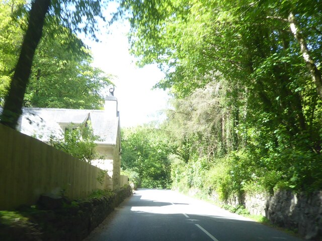
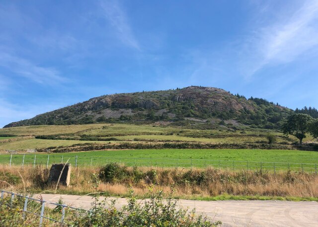
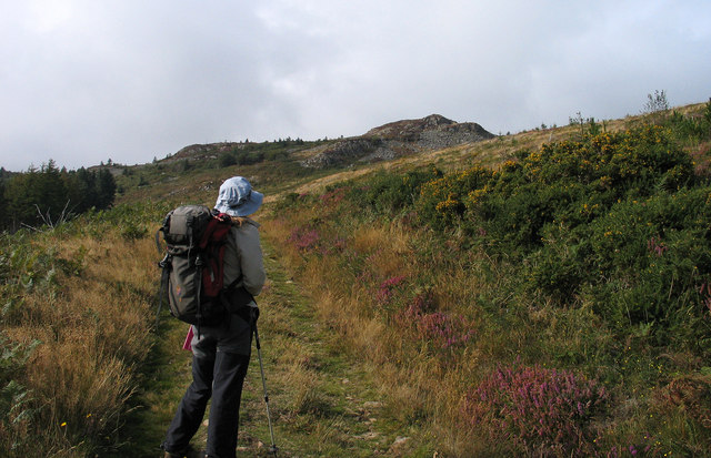
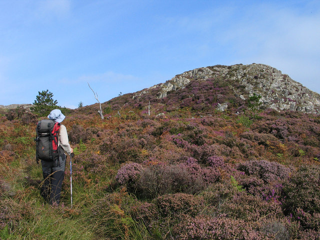
Bodfean is known for its tranquil and rural setting, making it a popular destination for those seeking a peaceful retreat. The village is characterized by its traditional Welsh architecture, with charming stone cottages and farmhouses dotting the landscape. The surrounding countryside offers a plethora of scenic walks and hikes, allowing visitors to immerse themselves in the stunning scenery.

Despite its small size, Bodfean has a strong sense of community. The village is home to a close-knit population, with many residents involved in local activities and events. The nearby town of Caernarfon provides additional amenities, including shops, restaurants, and leisure facilities.

For history enthusiasts, Bodfean offers a glimpse into Wales' rich past. The area is scattered with ancient monuments, including burial chambers and standing stones, which provide intriguing insights into the region's prehistoric heritage.

Overall, Bodfean is a hidden gem in Caernarfonshire, offering visitors a chance to escape the hustle and bustle of modern life and immerse themselves in the beauty of the Welsh countryside.

If you have any feedback on the listing, please let us know in the comments section below.
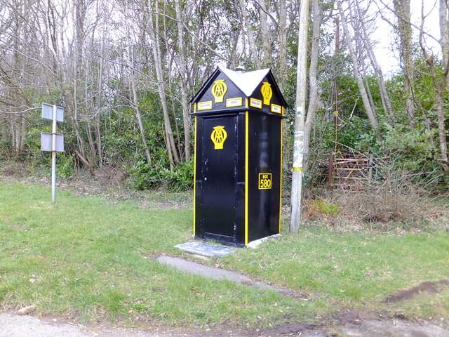
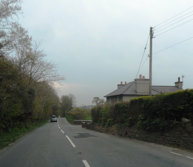
Bodfean Images

Images are sourced within 2km of 52.912212/-4.493675 or Grid Reference SH3237. Thanks to Geograph Open Source API. All images are credited.

B4354 west of Frochas
B4354 at Gorphwysfa
B4354 at Gorphwysfa
Garn Boduan This hill is the site of an Iron Age hillfort
Garn Boduan
This hill is the site of an Iron Age hillfort
Frochas farm
Frochas farm
Eglwys Buan Sant Boduan Deconsecrated church at Boduan. See Alan Fryer's contribution <a href="https://www.geograph.org.uk/photo/618261">SH3237 : Eglwys Buan Sant Boduan</a> for more information.
Eglwys Buan Sant Boduan
Deconsecrated church at Boduan. See Alan Fryer's contribution SH3237 : Eglwys Buan Sant Boduan for more information.
A497 near Boduan A straight section of the road as it crosses the Llyn Peninsula.
A497 near Boduan
A straight section of the road as it crosses the Llyn Peninsula.
Lloches gwaith coed - Woodworking shelter In the woods at <a href="https://www.geograph.org.uk/photo/852637">SH3339 : Gwarchodfa Boduan - Boduan Sanctuary</a>
Classes in traditional woodworking are held the first Saturday of every month.
Lloches gwaith coed - Woodworking shelter
In the woods at SH3339 : Gwarchodfa Boduan - Boduan Sanctuary Classes in traditional woodworking are held the first Saturday of every month.
Gwarchodfa Boduan - Boduan Sanctuary
Eglwys Buan Sant Since earlier pictures were taken the churchyard has become overgrown with brambles.
Eglwys Buan Sant
Since earlier pictures were taken the churchyard has become overgrown with brambles.
Mynwent Eglwys Buan Sant Graveyard The extent to which the older part of the graveyard at <a href="https://www.geograph.org.uk/photo/3072427">SH3237 : Eglwys Buan Sant</a> has been neglected
Mynwent Eglwys Buan Sant Graveyard
The extent to which the older part of the graveyard at SH3237 : Eglwys Buan Sant has been neglected
Eglwys Buan Sant Inside the lych gate biblical texts beginning in English and continuing in Welsh
Eglwys Buan Sant
Inside the lych gate biblical texts beginning in English and continuing in Welsh
Eglwys Buan Sant Inside the lych gate biblical texts beginning in English and continuing in Welsh
Eglwys Buan Sant
Inside the lych gate biblical texts beginning in English and continuing in Welsh
Path rising to Garn Boduan Garn Boduan is one of a number of relatively low yet prominent hills of the Lleyn Peninsula; there are ramparts of an old iron age hill fort about the top which can be seen in the distance. The path rises from the B4354 on the south side of the hill.
Path rising to Garn Boduan
Garn Boduan is one of a number of relatively low yet prominent hills of the Lleyn Peninsula; there are ramparts of an old iron age hill fort about the top which can be seen in the distance. The path rises from the B4354 on the south side of the hill.
Rocks and heathers on Garn Boduan Garn Boduan is one of a number of relatively low yet prominent hills of the Lleyn Peninsula; there are ramparts of an old iron age hill fort about the top. The view here is from the south with the rise directly ahead not being the actual summit which lies beyond. More than one heather species can be seen in flower, now past their best.
Rocks and heathers on Garn Boduan
Garn Boduan is one of a number of relatively low yet prominent hills of the Lleyn Peninsula; there are ramparts of an old iron age hill fort about the top. The view here is from the south with the rise directly ahead not being the actual summit which lies beyond. More than one heather species can be seen in flower, now past their best.
AA Box number 580 On the side of the A497 road.
AA Box number 580
On the side of the A497 road.
Lych gate to St Buan's Church The church of St Buan was founded in 595 AD. No traces of it remain. The present building was first erected by the Wynne family of Plas Boduan in 1765 and after falling into disrepair rebuilt between 1890 and 1894. After falling into disrepair again in the 20th century it was deconsecrated in 1991 and reopened in 2004 as the Buan centre. It is now closed.
Lych gate to St Buan's Church
The church of St Buan was founded in 595 AD. No traces of it remain. The present building was first erected by the Wynne family of Plas Boduan in 1765 and after falling into disrepair rebuilt between 1890 and 1894. After falling into disrepair again in the 20th century it was deconsecrated in 1991 and reopened in 2004 as the Buan centre. It is now closed.
Eglwys Buan Sant, Boduan I am obliged to Alan Fryer for the following:-
The present building was first erected by the Wynne family of Plas Boduan in 1765 and after falling into disrepair rebuilt between 1890 and 1894. After falling into disrepair again in the 20th century it was deconsecrated in 1991 and reopened in 2004 as the Buan centre. It is now closed.
Eglwys Buan Sant, Boduan
I am obliged to Alan Fryer for the following:- The present building was first erected by the Wynne family of Plas Boduan in 1765 and after falling into disrepair rebuilt between 1890 and 1894. After falling into disrepair again in the 20th century it was deconsecrated in 1991 and reopened in 2004 as the Buan centre. It is now closed.
House by the A497
House by the A497
Show me another place!

Bodfean is located at Grid Ref: SH3237 (Lat: 52.912212, Lng: -4.493675)

Unitary Authority: Gwynedd

Police Authority: North Wales

Also known as: Boduan

What 3 Words

///customers.crouching.denser. Near Nefyn, Gwynedd

Related Wikis

Boduan

Boduan is a village in Gwynedd, Wales, about 4 miles from Pwllheli. It is in the historic county of Caernarfonshire. It was due to host the National Eisteddfod...

Buan, Gwynedd

Buan is a community in the Welsh county of Gwynedd, located on the Llŷn Peninsula. It includes the villages of Boduan and Rhydyclafdy, and has a population...

Garn Boduan

Garn Boduan is an Iron Age hillfort and hill near Nefyn, on the Llŷn Peninsula in Wales. In a survey in the 1950s the traces of over 170 round houses were...
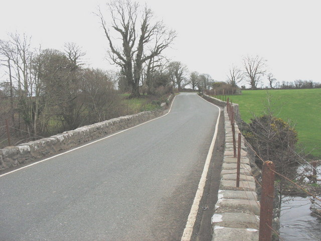
Pont Bodfel

Pont Bodfel is a bridge between the villages of Boduan and Efailnewydd in Wales. The bridge formerly carried the A497 road over the Afon Rhyd-hir. It has...

Nearby Amenities

Located within 500m of 52.912212,-4.493675
Boduan
Place: hamlet
Wikidata: Q4936754
Lat/Long: 52.9108657/-4.4949585
Place Of Worship
Religion: christian
Source: Bing
Lat/Long: 52.9108979/-4.4918851
Parking
Lat/Long: 52.9113321/-4.4930832
Power: pole
Lat/Long: 52.9113/-4.4999689
Power: pole
Lat/Long: 52.9109409/-4.4986385
Power: pole
Lat/Long: 52.9106724/-4.4976971
Power: pole
Lat/Long: 52.9104233/-4.4965196
Power: pole
Lat/Long: 52.9100448/-4.495503
Power: pole
Lat/Long: 52.9095029/-4.4933921
Power: pole
Lat/Long: 52.9092069/-4.4923246
Power: pole
Lat/Long: 52.9089028/-4.4912061
Power: pole
Lat/Long: 52.9085631/-4.489916
Power: pole
Lat/Long: 52.9088834/-4.4887009
Telephone
Boduan Box
Covered: booth
Description: old black and yellow AA phone box
Listed Status: Grade II
Operator: AA
Ref: 580
Lat/Long: 52.9115358/-4.4935763
The data included in this document is from www.openstreetmap.org. The data is made available under ODbL.

Have you been to Bodfean?

Leave your review of Bodfean below (or comments, questions and feedback).