Stanley

Settlement in Nottinghamshire Ashfield

England

Stanley

Cottages at Hardwick Hall Some of the original buildings outside the garden walls have recently been converted to holiday accommodation.
Cottages at Hardwick Hall Credit: Graham Hogg

Stanley is a small village located in the county of Nottinghamshire, England. Situated approximately 5 miles east of the city of Nottingham, Stanley is part of the Gedling borough. The village is nestled in the picturesque countryside, surrounded by rolling hills and green fields, providing a tranquil and peaceful atmosphere.

With a population of around 2,000 residents, Stanley offers a close-knit community feel. The village itself is characterized by charming cottages and well-kept gardens, adding to its idyllic appeal. The local architecture showcases a mix of historical buildings, including the Grade II listed St. Andrew's Church, which dates back to the 13th century.

Amenities in Stanley include a primary school, a post office, a village hall, and a few local shops and pubs. The village also benefits from excellent transport links, with regular bus services connecting it to nearby towns and cities.

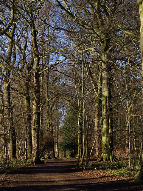
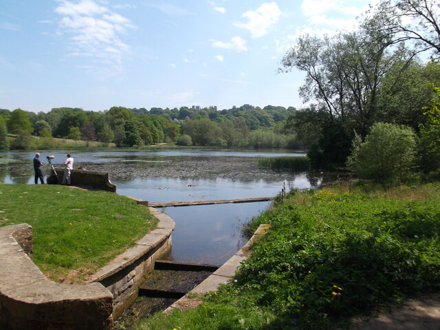
The surrounding area provides plenty of opportunities for outdoor activities. The nearby Gedling Country Park offers beautiful walking trails, picnic spots, and wildlife sightings. Additionally, the village is within close proximity to Colwick Country Park, which boasts a large lake for fishing, sailing, and other water activities.

Residents of Stanley enjoy a peaceful and scenic lifestyle while still having easy access to the amenities and attractions of Nottingham city. Overall, Stanley offers a charming countryside retreat within easy reach of urban conveniences.

If you have any feedback on the listing, please let us know in the comments section below.
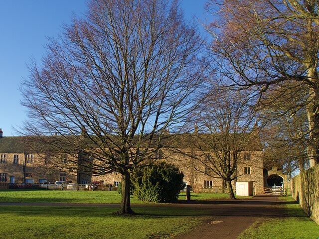
Stanley Images

Images are sourced within 2km of 53.154928/-1.312066 or Grid Reference SK4662. Thanks to Geograph Open Source API. All images are credited.

Cottages at Hardwick Hall Some of the original buildings outside the garden walls have recently been converted to holiday accommodation.
Cottages at Hardwick Hall
Some of the original buildings outside the garden walls have recently been converted to holiday accommodation.
Grassed garden path in Hardwick Hall  Grassed walkways divide the walled garden at Hardwick into quarters. At the time of this visit in early January they were out of use to allow the grass to recover.
Grassed garden path in Hardwick Hall
Grassed walkways divide the walled garden at Hardwick into quarters. At the time of this visit in early January they were out of use to allow the grass to recover.
Hardwick Hall reflection The east face of the Hall reflected in the garden pond
Hardwick Hall reflection
The east face of the Hall reflected in the garden pond
Hardwick Hall The east face of the Hall viewed from the orchard.
Hardwick Hall
The east face of the Hall viewed from the orchard.
Hardwick Hall The south face of the Hall viewed from the walled garden in winter.
Hardwick Hall
The south face of the Hall viewed from the walled garden in winter.
Woodland path at Hardwick Hall In Lady Spencer's Wood, a popular walk to the south of the Hall.
Woodland path at Hardwick Hall
In Lady Spencer's Wood, a popular walk to the south of the Hall.
The Great Pond, Hardwick Estate
Tree-lined path through the park
A busy day at Hardwick Hall
M1 at Deep Lane overbridge
Hardwick Old Hall The south facade of the shell of the old hall
Hardwick Old Hall
The south facade of the shell of the old hall
Hardwick Hall The west facade viewed from a high platform in the old hall
Hardwick Hall
The west facade viewed from a high platform in the old hall
Wooded boundary of Tibshelf Services
The Silverhill Trail near Woodend Formerly part of the Pleasley - Tibshelf railway. The original halt of the latter can be found a little further ahead.
The Silverhill Trail near Woodend
Formerly part of the Pleasley - Tibshelf railway. The original halt of the latter can be found a little further ahead.
Path Junction on the Silverhill Trail Footpath leading away from the trail and former railway line towards Orchard Farm on the left of picture.
Path Junction on the Silverhill Trail
Footpath leading away from the trail and former railway line towards Orchard Farm on the left of picture.
'Testing for Gas' Statue Much photographed statue commemorating and celebrating the legacy of the Nottinghamshire mining industry. Even on a dank day like today it's still a stunning location - especially when you have the place to yourself for a few moments.
'Testing for Gas' Statue
Much photographed statue commemorating and celebrating the legacy of the Nottinghamshire mining industry. Even on a dank day like today it's still a stunning location - especially when you have the place to yourself for a few moments.
Weeping Willow on Silverdale Lane
Footpath and Field Approaching Stanley Despite its proximity tyo the M1 motorway this is a pleasant undulating grid square. The footpath exits this fields towards the right of picture.
Footpath and Field Approaching Stanley
Despite its proximity tyo the M1 motorway this is a pleasant undulating grid square. The footpath exits this fields towards the right of picture.
Show me another place!

Stanley is located at Grid Ref: SK4662 (Lat: 53.154928, Lng: -1.312066)

Administrative County: Nottinghamshire

District: Ashfield

Police Authority: Nottinghamshire

What 3 Words

///filed.pouch.wool. Near Tibshelf, Derbyshire

Nearby Locations

Silverhill Stanley

Related Wikis

Silverhill, Nottinghamshire

Silverhill is an artificial hill near Teversal in Nottinghamshire, and is one of the highest points in the county at 204.3 metres (670 ft). Originally...
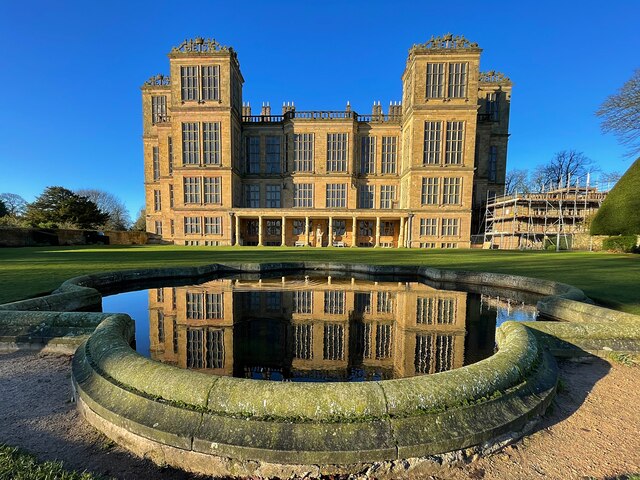
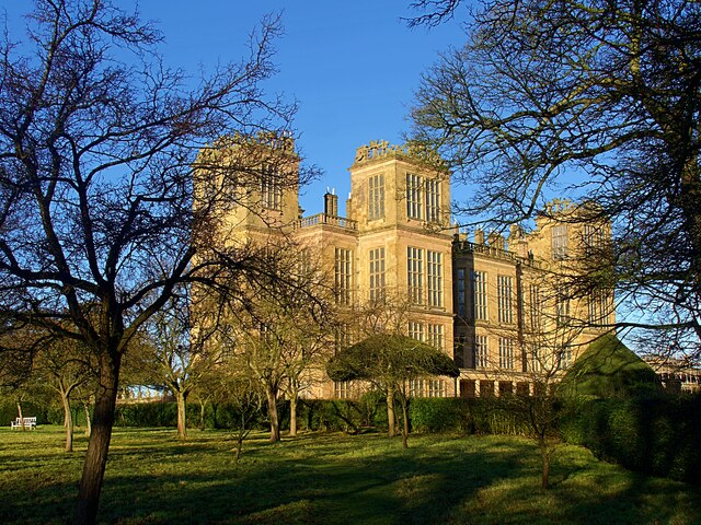
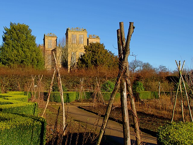
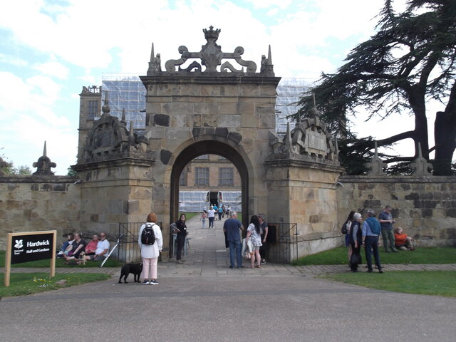
Hardwick Hall

Hardwick Hall in Derbyshire is an architecturally significant country house from the Elizabethan era, a leading example of the Elizabethan prodigy house...

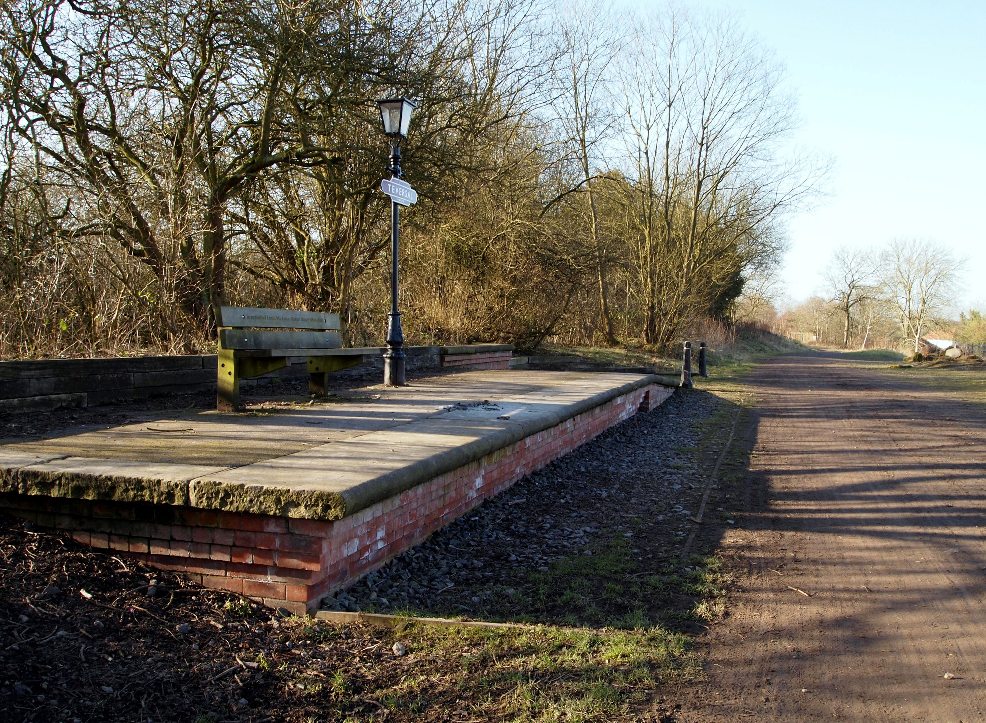
Teversall Manor railway station

Teversall Manor is a former railway station in Teversal, Nottinghamshire, England. It was located on the border with Derbyshire, west of Mansfield. The...

Teversal F.C.

Teversal Football Club are a semi-professional football club based in Teversal, near Mansfield, Nottinghamshire, England. Teversal will rejoin the Central...

Nearby Amenities

Located within 500m of 53.154928,-1.312066
Stanley
Is In: Nottinghamshire, United Kingdom
Place: village
Lat/Long: 53.1550682/-1.3114202
Barrier: stile
Steps: 1
Stile: stepover
Lat/Long: 53.1539465/-1.3116513
Barrier: stile
Lat/Long: 53.1541463/-1.3120597
Barrier: stile
Steps: 2
Stile: stepover
Lat/Long: 53.1528712/-1.3078603
Passing Place
Lat/Long: 53.15634/-1.3126369
Passing Place
Lat/Long: 53.1561623/-1.3123687
Passing Place
Lat/Long: 53.158209/-1.3144476
Passing Place
Lat/Long: 53.1586391/-1.3148442
Passing Place
Lat/Long: 53.1543602/-1.3084539
Passing Place
Lat/Long: 53.1549731/-1.3105798
Generator Method: photovoltaic
Generator Orientation: SSE
Generator Output Electricity: yes
Generator Solar Modules: 15
Generator Source: solar
Generator Type: solar_photovoltaic_panel
Location: roof
Power: generator
Lat/Long: 53.154667/-1.3124072
The data included in this document is from www.openstreetmap.org. The data is made available under ODbL.

Have you been to Stanley?

Leave your review of Stanley below (or comments, questions and feedback).