Stanklyn

Settlement in Worcestershire Wyre Forest

England

Stanklyn

Spennells Valley Nature Reserve A nature reserve situated within an extensive housing development. Picture taken looking west into the reserve from grid reference SO84790 75310, a few metres west of the A448.
Spennells Valley Nature Reserve Credit: Martyn B

Stanklyn is a small village located in the county of Worcestershire, England. Situated in the heart of the county, it is surrounded by picturesque countryside and rolling hills. With a population of around 500 residents, Stanklyn offers a tranquil and close-knit community.

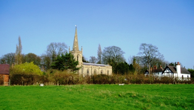
The village dates back to medieval times and has managed to maintain its traditional charm. Its architecture reflects its rich history, with many well-preserved buildings showcasing Tudor and Georgian styles. Stanklyn is known for its beautiful parish church, St. Mary's, which dates back to the 12th century and features stunning stained glass windows.

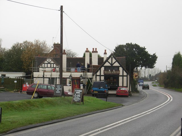
Despite its small size, Stanklyn boasts a range of amenities to serve its residents. The village has a primary school, a village hall, and a local pub, The Stag's Head, which serves as a hub for social gatherings and community events. Additionally, Stanklyn benefits from being in close proximity to larger towns and cities, such as Worcester and Kidderminster, providing residents with access to a wider range of services and employment opportunities.

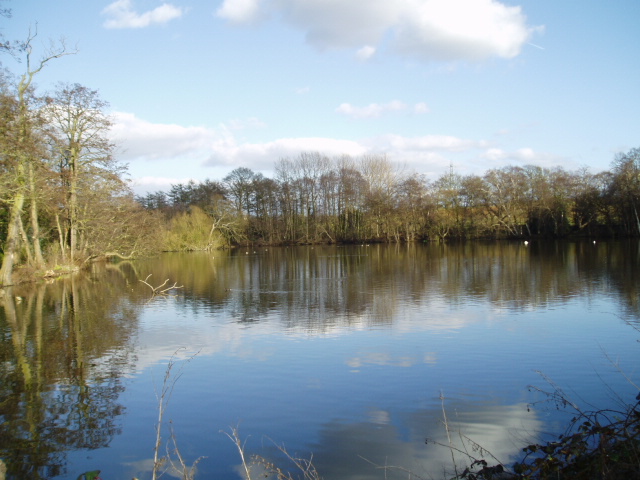
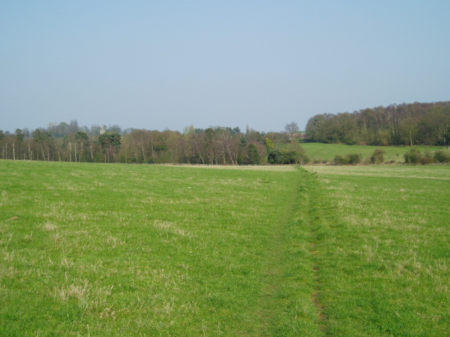
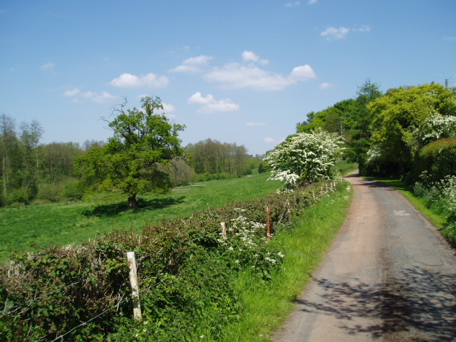
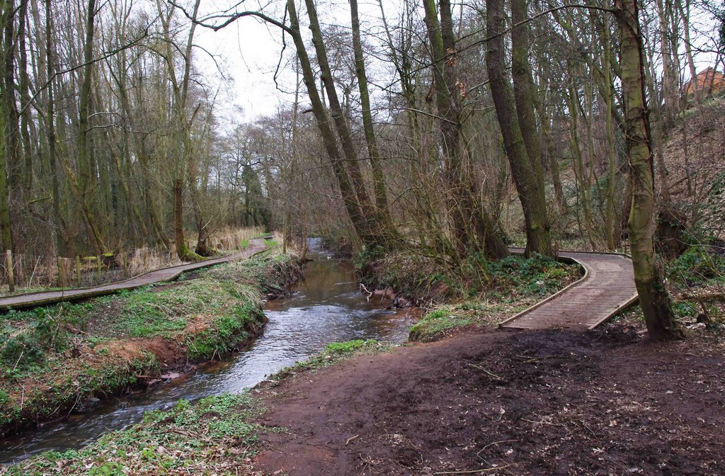
The surrounding countryside offers numerous opportunities for outdoor activities, including walking, cycling, and horse riding. Stanklyn is also within easy reach of the Worcestershire Wildlife Trust's nature reserves, allowing residents to enjoy the region's diverse flora and fauna.

In summary, Stanklyn is a quaint village that prides itself on its rich history, strong community spirit, and idyllic rural surroundings. It offers a peaceful and picturesque setting for those seeking an escape from the hustle and bustle of city life.

If you have any feedback on the listing, please let us know in the comments section below.
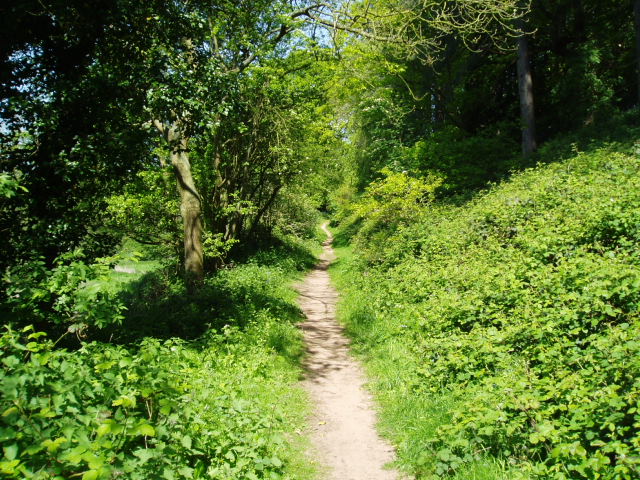
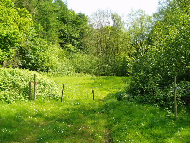
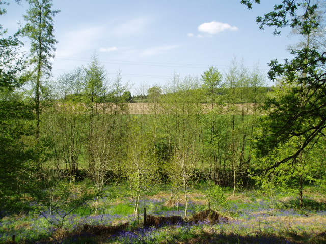
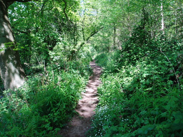
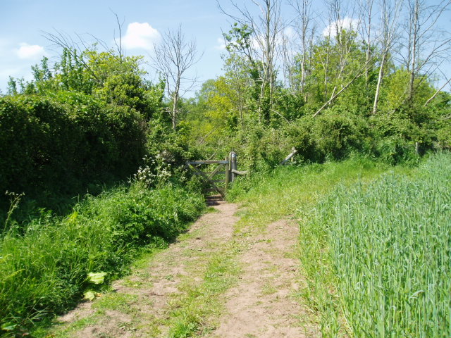
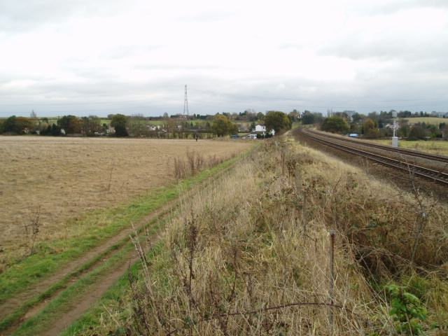
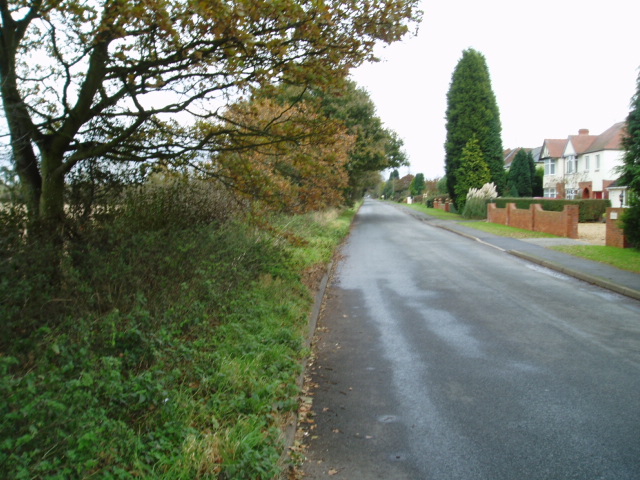
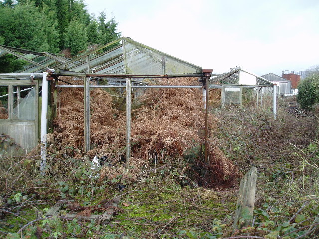
Stanklyn Images

Images are sourced within 2km of 52.369682/-2.208386 or Grid Reference SO8574. Thanks to Geograph Open Source API. All images are credited.

Spennells Valley Nature Reserve A nature reserve situated within an extensive housing development. Picture taken looking west into the reserve from grid reference SO84790 75310, a few metres west of the A448.
Spennells Valley Nature Reserve
A nature reserve situated within an extensive housing development. Picture taken looking west into the reserve from grid reference SO84790 75310, a few metres west of the A448.
Farmland Taken at the western edge of the grid square at reference SO85028 75636, at the junction of a rough farm track and bridleway, looking in a north-easterly direction. There are not so many geographical features publicly accessible in this square, although the pylon in the north-east section of the square is just visible.
Farmland
Taken at the western edge of the grid square at reference SO85028 75636, at the junction of a rough farm track and bridleway, looking in a north-easterly direction. There are not so many geographical features publicly accessible in this square, although the pylon in the north-east section of the square is just visible.
Captain's Pool A small lake situated on the edge of a large housing development. The lake is home to a variety of wildfowl and a popular venue for fishermen. The picture has been taken from the public footpath on the west side of the pool at SO 84732 74929.
Captain's Pool
A small lake situated on the edge of a large housing development. The lake is home to a variety of wildfowl and a popular venue for fishermen. The picture has been taken from the public footpath on the west side of the pool at SO 84732 74929.
Stone Church & School Taken from the footpath leading to the A448, to the south-west of the church. The school is the white building on the right of the photograph. The stile leading out on to the road is visible in the middle of the picture, on the left-hand side.
Stone Church & School
Taken from the footpath leading to the A448, to the south-west of the church. The school is the white building on the right of the photograph. The stile leading out on to the road is visible in the middle of the picture, on the left-hand side.
Around Stanklyn Picture taken looking east along the public footpath leading to Stanklyn Lane, from grid reference SO85175 74444, directly under the power lines. Stanklyn Wood can be seen on the higher ground to the right of the picture, and the spire of Stone Church (see image in adjacent square) is just visible above the tree-line towards the left.
Around Stanklyn
Picture taken looking east along the public footpath leading to Stanklyn Lane, from grid reference SO85175 74444, directly under the power lines. Stanklyn Wood can be seen on the higher ground to the right of the picture, and the spire of Stone Church (see image in adjacent square) is just visible above the tree-line towards the left.
Harvington Hall Harvington Hall is a moated medieval and Elizabethan manor house, famous for its magnificent priest-holes.
Harvington Hall
Harvington Hall is a moated medieval and Elizabethan manor house, famous for its magnificent priest-holes.
Around Dunclent Picture taken from SO 86387 75602 from the track south-west of Dunclent House, shown on the OS map as a public footpath, looking north-east across pastureland.
Around Dunclent
Picture taken from SO 86387 75602 from the track south-west of Dunclent House, shown on the OS map as a public footpath, looking north-east across pastureland.
Around Dunclent Supplementary photograph taken from the public footpath at SO 86539 75769, looking north-east along the edge of the wood
Around Dunclent
Supplementary photograph taken from the public footpath at SO 86539 75769, looking north-east along the edge of the wood
Fenny Rough Supplementary photograph taken from the public footpath at SO 86396 75285, looking south-east into the steep-sided valley known as Fenny Rough
Fenny Rough
Supplementary photograph taken from the public footpath at SO 86396 75285, looking south-east into the steep-sided valley known as Fenny Rough
Around Dunclent, Mount Segg Public access is limited to a footpath across the south-east corner of this square, thus limiting photographic opportunities. The picture is taken from the public footpath at SO 86912 76245, looking north across the farmland towards the southern tip of Bissell Wood.
Around Dunclent, Mount Segg
Public access is limited to a footpath across the south-east corner of this square, thus limiting photographic opportunities. The picture is taken from the public footpath at SO 86912 76245, looking north across the farmland towards the southern tip of Bissell Wood.
Mount Segg Taken from the same location as the main picture at SO 86912 76245, looking north-east along the footpath through woodland at Mount Segg
Mount Segg
Taken from the same location as the main picture at SO 86912 76245, looking north-east along the footpath through woodland at Mount Segg
Farmland south of Mount Segg Picture taken looking north from SO87199 75871 at the point where the bridleway passes through the field boundary into the area of heathland shown in the adjacent northern square, SO 8776.
Farmland south of Mount Segg
Picture taken looking north from SO87199 75871 at the point where the bridleway passes through the field boundary into the area of heathland shown in the adjacent northern square, SO 8776.
Farmland Taken from the same spot as the first geograph picture, compare this early winter view with the early spring view taken eight months earlier.
Farmland
Taken from the same spot as the first geograph picture, compare this early winter view with the early spring view taken eight months earlier.
The pool which does not exist! For some inexplicable reason, this pool is not shown on the Ordnance Survey map. The picture has been taken from SO 85469 75614, looking north, and the pool is situated on the north side of the public footpath which runs roughly east to west between Heathy Mill Farm and Dunclent Farm. The obvious explanation for its non-appearance on the maps would be that it has only recently been artificially created, but to my knowledge, it has existed in its current location for at least seven years and probably much longer than that! Perhaps the next revised editions of the relevant maps will include the pool - or perhaps there is something lurking within its depths which render it invisible to aerial and satellite photography....!!
The pool which does not exist!
For some inexplicable reason, this pool is not shown on the Ordnance Survey map. The picture has been taken from SO 85469 75614, looking north, and the pool is situated on the north side of the public footpath which runs roughly east to west between Heathy Mill Farm and Dunclent Farm. The obvious explanation for its non-appearance on the maps would be that it has only recently been artificially created, but to my knowledge, it has existed in its current location for at least seven years and probably much longer than that! Perhaps the next revised editions of the relevant maps will include the pool - or perhaps there is something lurking within its depths which render it invisible to aerial and satellite photography....!!
Mainline railway, near Kidderminster Picture taken from the north-west corner of the square looking south south-east towards Stanklyn Lane. The clearly defined path following the field boundary is not a right of way and thus does not appear on the Ordnance Survey maps of the area. The railway is the main line between Kidderminster and Worcester.
Mainline railway, near Kidderminster
Picture taken from the north-west corner of the square looking south south-east towards Stanklyn Lane. The clearly defined path following the field boundary is not a right of way and thus does not appear on the Ordnance Survey maps of the area. The railway is the main line between Kidderminster and Worcester.
Stanklyn Lane, near Kidderminster Taken from the bend in the road at SO 844 737 looking north-east, the picture shows Stanklyn Lane at the point where it remains perfectly straight for a distance of about 1 mile.
Stanklyn Lane, near Kidderminster
Taken from the bend in the road at SO 844 737 looking north-east, the picture shows Stanklyn Lane at the point where it remains perfectly straight for a distance of about 1 mile.
Ruined greenhouses Situated in the triangle between two minor roads in the north-west section of the square, these greenhouses have clearly seen better times ! Picture taken from the minor road at SO 87117 73628.
Ruined greenhouses
Situated in the triangle between two minor roads in the north-west section of the square, these greenhouses have clearly seen better times ! Picture taken from the minor road at SO 87117 73628.
The Hare and Hounds
The Hare and Hounds
Show me another place!

Stanklyn is located at Grid Ref: SO8574 (Lat: 52.369682, Lng: -2.208386)

Administrative County: Worcestershire

District: Wyre Forest

Police Authority: West Mercia

What 3 Words

///remedy.dices.scare. Near Kidderminster, Worcestershire

Related Wikis

Stone, Worcestershire

Stone is a village and civil parish in the Wyre Forest District of Worcestershire, England. Of Anglo-Saxon origin, it lies two miles south-east of Kidderminster...

Spennells

Spennells is a suburb of Kidderminster, Worcestershire about a mile south of the town centre. It is located just to the east of the A449 and the railway...

Shenstone, Worcestershire

Shenstone is a village in Worcestershire, England, located near Kidderminster.

Wyre Forest School

Wyre Forest School (formerly Stourminster Special School) is a school in Kidderminster, Worcestershire, for students with complex special needs, and...

Harvington Hall

Harvington Hall is a moated medieval and Elizabethan manor house in the hamlet of Harvington in the civil parish of Chaddesley Corbett, southeast of Kidderminster...
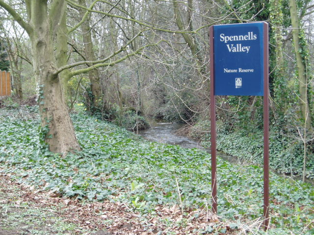
Spennells Valley

Spennells Valley is a local nature reserve in south-east Kidderminster, in Worcestershire, England. == Description == It was declared a local nature reserve...

Summerfield Research Station

The Summerfield Research Station is a development and production site for solid rocket motors in the United Kingdom officially formed on 1 September 1951...

Coalyard Miniature Railway

The Coalyard Miniature Railway, opened in 1988, and relaid in 1990 as a 7+1⁄4 in (184 mm) gauge railway, operates in the grounds of the Severn Valley Railway...

Nearby Amenities

Located within 500m of 52.369682,-2.208386
Bus Stop
Butts Lane
Bus: yes
Naptan AtcoCode: 2000G018900
Naptan Bearing: NW
Naptan BusStopType: CUS
Naptan CommonName: Butts Lane
Naptan Crossing: Butts Lane
Naptan Indicator: adj
Naptan NaptanCode: wocdjmjm
Naptan PlusbusZoneRef: KDRMNST
Naptan Street: Stone Hill
Naptan Verified: no
Public Transport: platform
Source: naptan_import
Lat/Long: 52.3716317/-2.2042638
Bus Stop
Stanklyn Lane
Bus: yes
Naptan AtcoCode: 2000G502307
Naptan Bearing: SE
Naptan CommonName: Stanklyn Lane
Naptan Crossing: Stanklyn Lane
Naptan Indicator: opp
Naptan NaptanCode: wocgjtpg
Naptan PlusbusZoneRef: KDRMNST
Naptan Street: Stone Hill
Naptan Verified: no
Public Transport: platform
Source: naptan_import
Lat/Long: 52.3741264/-2.2083382
Bus Stop
Stanklyn Lane
Bench: no
Bin: no
Bus: yes
Lit: no
Naptan AtcoCode: 2000G502308
Naptan Bearing: NW
Naptan CommonName: Stanklyn Lane
Naptan Crossing: Stanklyn Lane
Naptan Indicator: adj
Naptan NaptanCode: wocgjtpj
Naptan PlusbusZoneRef: KDRMNST
Naptan Street: Stone Hill
Naptan Verified: no
Public Transport: platform
Shelter: yes
Source: naptan_import
Tactile Paving: no
Lat/Long: 52.3739555/-2.2083814
Butts Lane
Naptan AtcoCode: 2000G581600
Naptan Bearing: W
Naptan BusStopType: CUS
Naptan CommonName: Butts Lane
Naptan Crossing: Butts Lane
Naptan Indicator: opp
Naptan NaptanCode: wocgmwgw
Naptan PlusbusZoneRef: KDRMNST
Naptan Street: Stone Hill
Naptan Verified: no
Source: naptan_import
Lat/Long: 52.3715542/-2.203758
Turning Circle
Lat/Long: 52.3699463/-2.2065022
Defibrillator
Defibrillator Location: On outside wall of building at junction of Church Lane and Stone Hill
Emergency: defibrillator
Indoor: no
Mapillary: 206466258456253
Lat/Long: 52.371865/-2.2041492
Post Box
Mapillary: 156501700471552
Operator: Royal Mail
Operator Wikidata: Q638098
Post Box Type: wall
Lat/Long: 52.3720188/-2.2045476
The data included in this document is from www.openstreetmap.org. The data is made available under ODbL.

Have you been to Stanklyn?

Leave your review of Stanklyn below (or comments, questions and feedback).