St James
Settlement in Norfolk Broadland
England
St James

St James, Norfolk is a small village located in the eastern part of England. Situated in the county of Norfolk, it is part of the larger district of King's Lynn and West Norfolk. St James is nestled in the picturesque countryside, surrounded by fields and meadows.
The village is home to a close-knit community of residents who enjoy the tranquility and charm of rural life. The architecture in St James reflects its rich history, with several old buildings and cottages dating back to the 17th and 18th centuries. These structures add to the village's rustic appeal and give visitors a glimpse into its past.
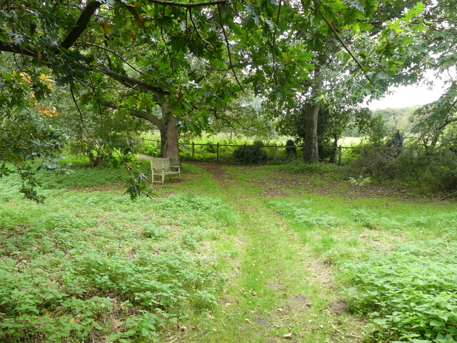
St James is known for its beautiful natural surroundings, making it an ideal destination for outdoor enthusiasts. The village is located near the Norfolk Coast Area of Outstanding Natural Beauty, providing residents and visitors with access to stunning coastal landscapes and scenic walks.
Despite its small size, St James boasts a few amenities to cater to the needs of its residents. These include a local pub, a village hall, and a primary school, ensuring that the community has essential services within reach.
The village's location also offers easy access to nearby towns and cities. King's Lynn, a historic market town, is just a short drive away, providing residents with a range of shops, restaurants, and cultural attractions.
Overall, St James, Norfolk offers a peaceful and idyllic setting for those seeking a slower pace of life in a charming rural village.
If you have any feedback on the listing, please let us know in the comments section below.
St James Images
Images are sourced within 2km of 52.732268/1.3732387 or Grid Reference TG2720. Thanks to Geograph Open Source API. All images are credited.


St James is located at Grid Ref: TG2720 (Lat: 52.732268, Lng: 1.3732387)
Administrative County: Norfolk
District: Broadland
Police Authority: Norfolk
What 3 Words
///beep.gobblers.assembles. Near Coltishall, Norfolk
Nearby Locations
Related Wikis

Coltishall
Coltishall is a village on the River Bure, west of Wroxham, in the English county of Norfolk. The village is located within the Norfolk Broads. == Etymology... ==
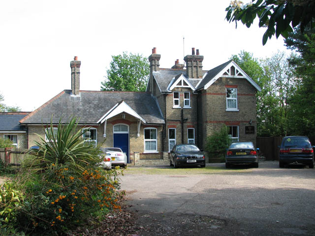
Coltishall railway station
Coltishall railway station serves the village of Coltishall in Norfolk, and is currently operated by the Bure Valley Railway. == Standard gauge operation... ==

St Theobald's Church, Great Hautbois
St Theobald's Church is a former church at Great Hautbois, near Coltishall in Norfolk, England. During the medieval period it was a place of pilgrimage...

Horstead with Stanninghall
Horstead with Stanninghall is a civil parish in the English county of Norfolk which is also known as 'The Gateway of The Broads' consisting of the former...

Belaugh
Belaugh is a small village (population 105) increasing to 134 at the 2011 Census, that occupies a bend in the River Bure in Norfolk, England - within The...

Tunstead, Norfolk
Tunstead is a village and a civil parish in the English county of Norfolk. The village is 10.7 miles north north east of the city of Norwich, 15 miles...

Horstead Hall
Horstead Hall was a country house in Norfolk that was demolished in the 1950s. The village of Horstead in the county of Norfolk is not short of country...
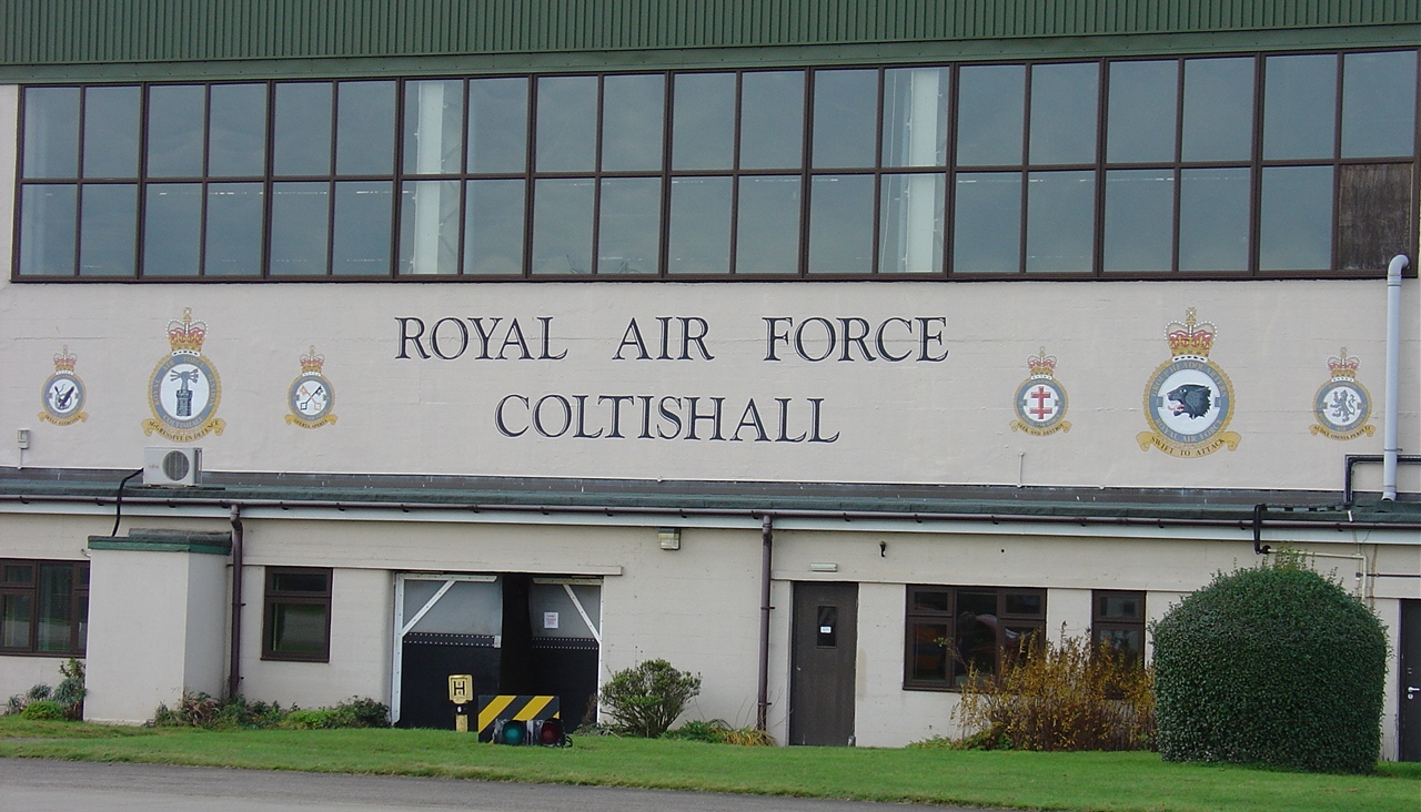
RAF Coltishall
Royal Air Force Coltishall, more commonly known as RAF Coltishall (IATA: CLF, ICAO: EGYC), is a former Royal Air Force station located 10 miles (16 kilometres...
Nearby Amenities
Located within 500m of 52.732268,1.3732387Have you been to St James?
Leave your review of St James below (or comments, questions and feedback).