Blythe Marsh
Settlement in Staffordshire Staffordshire Moorlands
England
Blythe Marsh
Blythe Marsh is a small village located in the county of Staffordshire, England. Situated approximately 6 miles east of the town of Uttoxeter, it falls within the East Staffordshire district.
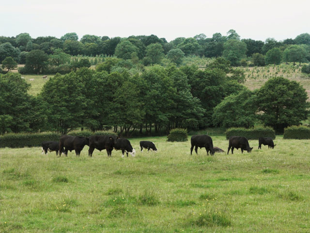
The village is nestled in a picturesque countryside setting, surrounded by lush green fields and rolling hills. It has a population of around 500 residents, giving it a close-knit community feel.
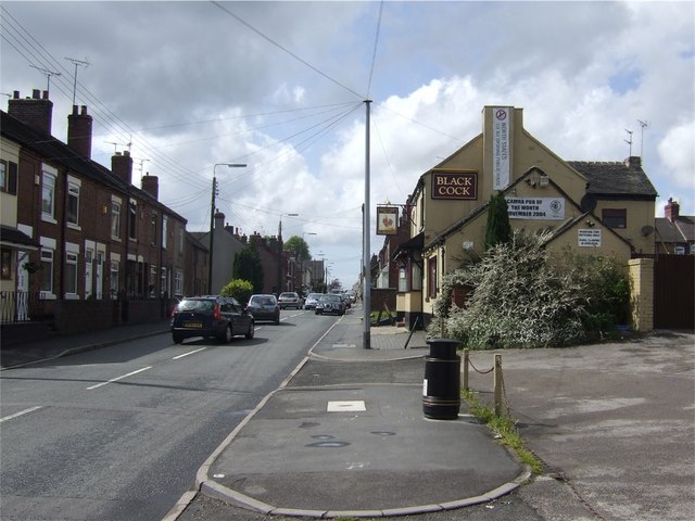
Blythe Marsh is known for its tranquil and idyllic atmosphere, making it a desirable place to live for those seeking a peaceful rural lifestyle. The village is dotted with charming cottages and traditional country houses, adding to its quaint appeal.
Despite its small size, Blythe Marsh offers essential amenities to its residents. It boasts a local pub, where locals and visitors can gather for a drink and socialize. Additionally, the village has a community center that hosts various events and activities throughout the year, fostering a sense of community spirit.
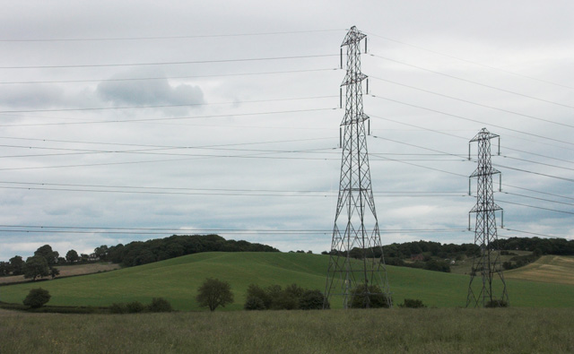
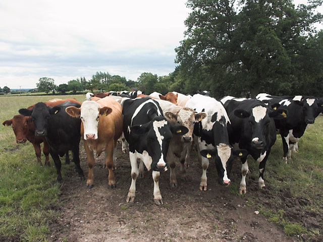
For those who enjoy outdoor pursuits, Blythe Marsh is surrounded by beautiful countryside, offering ample opportunities for walking, cycling, and exploring the natural surroundings. The nearby River Blythe also provides a scenic spot for fishing and boating.
Overall, Blythe Marsh is a charming village that offers a peaceful and rural lifestyle, making it a desirable place to reside for those seeking tranquility and natural beauty.
If you have any feedback on the listing, please let us know in the comments section below.
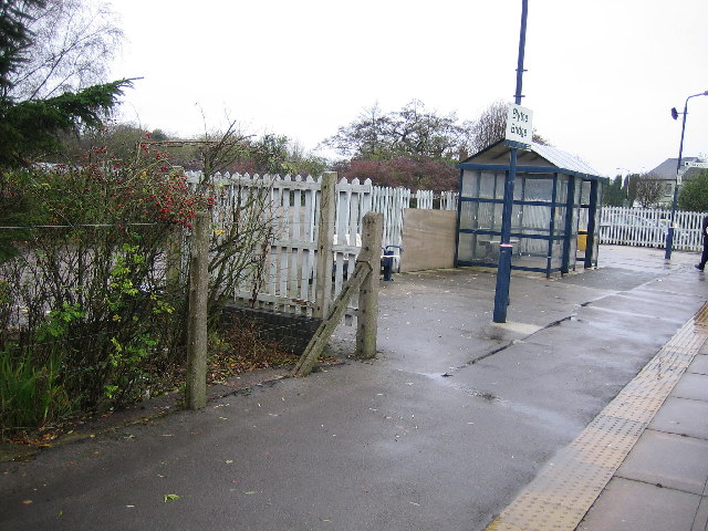
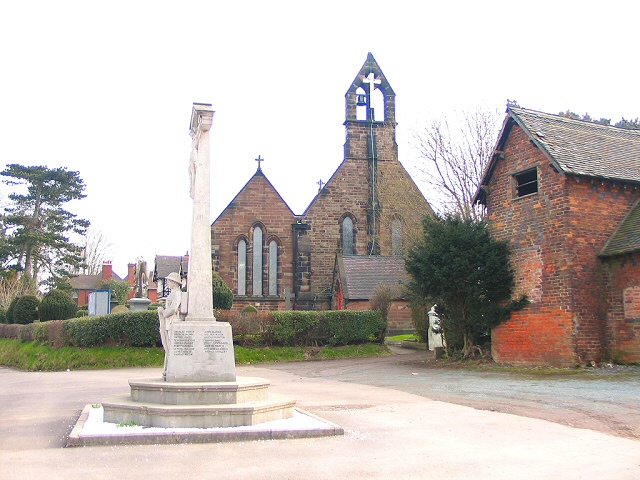
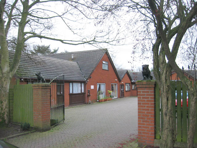
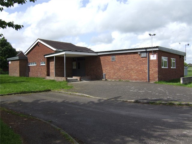
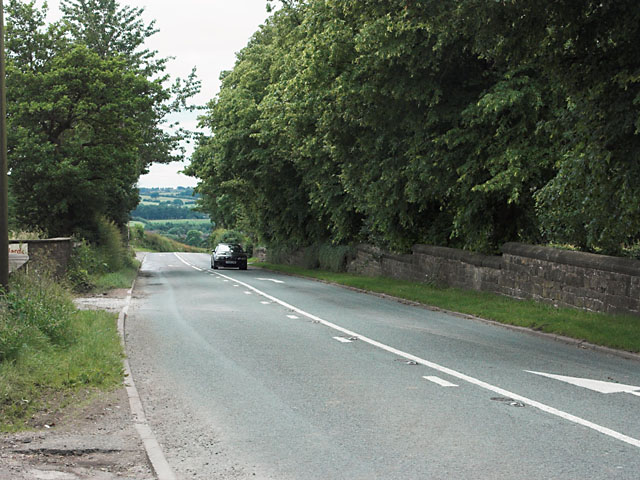
Blythe Marsh Images
Images are sourced within 2km of 52.966687/-2.059078 or Grid Reference SJ9641. Thanks to Geograph Open Source API. All images are credited.


Blythe Marsh is located at Grid Ref: SJ9641 (Lat: 52.966687, Lng: -2.059078)
Administrative County: Staffordshire
District: Staffordshire Moorlands
Police Authority: Staffordshire
What 3 Words
///visa.track.etchings. Near Cheadle, Staffordshire
Nearby Locations
Related Wikis

Blythe Bridge High School
Blythe Bridge High School is a coeducational secondary school and sixth form located in Blythe Bridge in the English county of Staffordshire.Previously...
Forsbrook
Forsbrook is a village in Staffordshire, around three miles southwest of Cheadle and situated on the edge of the Staffordshire Moorlands. It is an old...
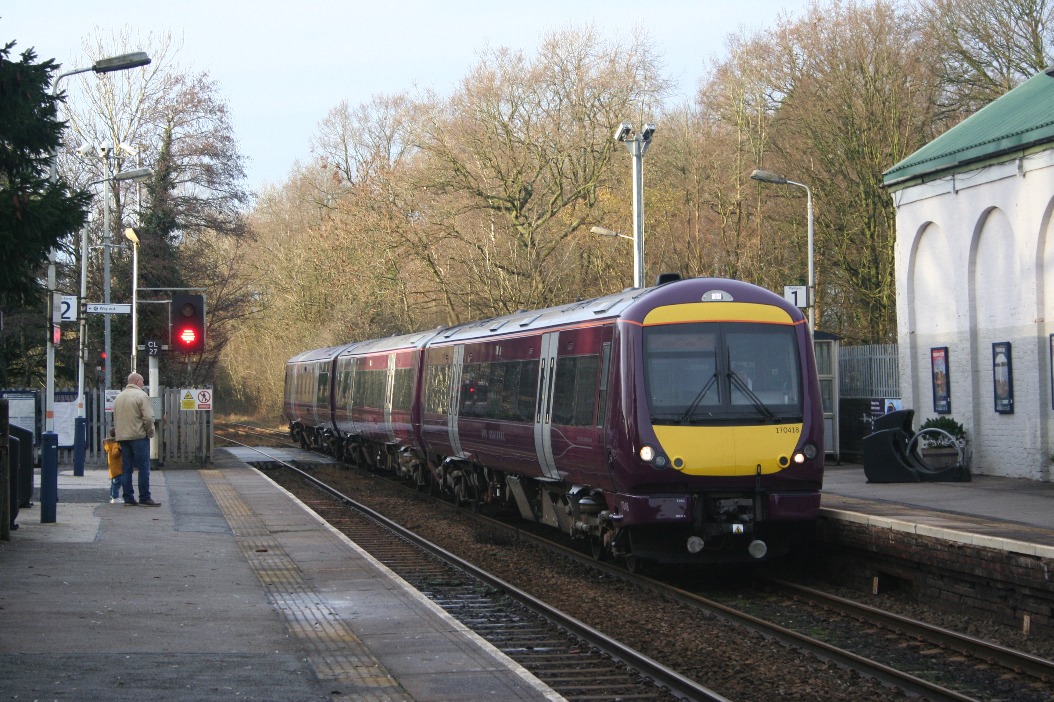
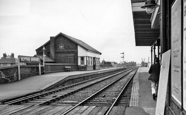
Blythe Bridge railway station
Blythe Bridge railway station in Blythe Bridge, Staffordshire, England, is served by trains on the Crewe to Derby Line; it is also a Community rail line...
Forsbrook Pendant
The Forsbrook Pendant is a piece of Anglo Saxon jewellery found in Forsbrook, Staffordshire, England and sold to the British Museum in 1879. It is a 7th...
Nearby Amenities
Located within 500m of 52.966687,-2.059078Have you been to Blythe Marsh?
Leave your review of Blythe Marsh below (or comments, questions and feedback).