Bluecairn

Settlement in Roxburghshire

Scotland

Bluecairn

Stripwood, Blackcock Hill
Stripwood, Blackcock Hill Credit: Richard Webb

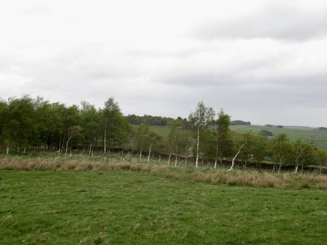
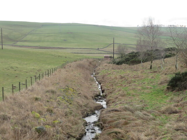
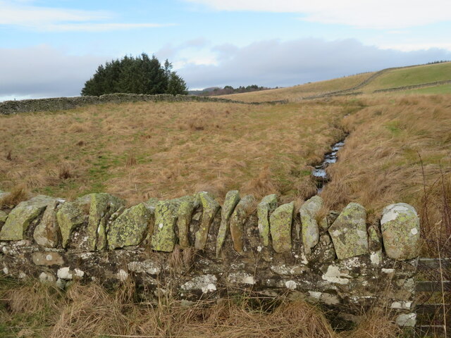
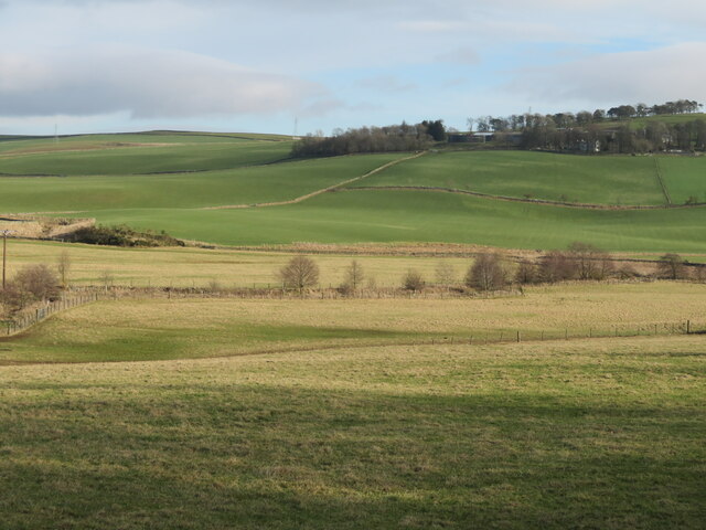
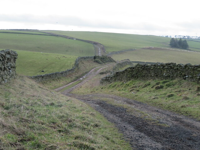
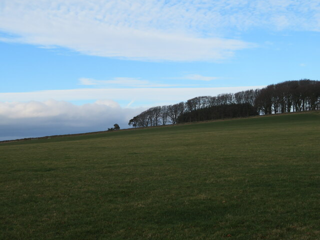
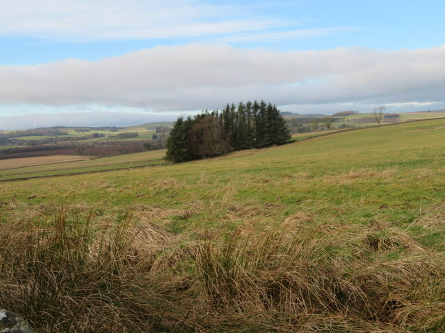
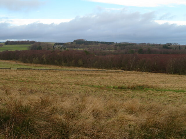
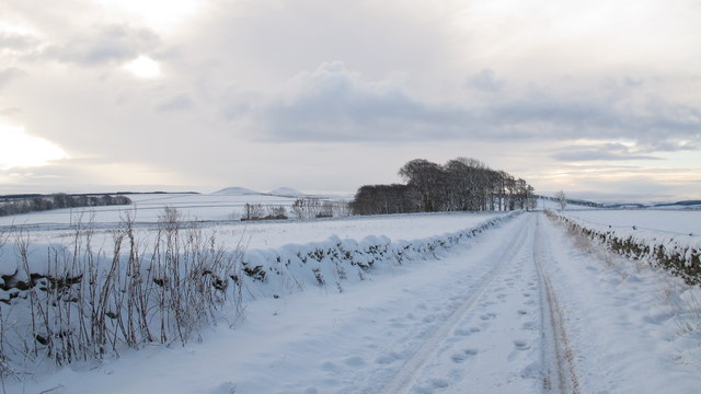
Bluecairn is a small hamlet located in the region of Roxburghshire, in the southeastern part of Scotland. Situated in the heart of the Scottish Borders, Bluecairn is known for its picturesque landscapes and rural charm. The hamlet is nestled amidst rolling hills and fertile farmlands, providing a serene and tranquil environment for its residents.

With a population of around 200 people, Bluecairn boasts a close-knit community that prides itself on its strong sense of belonging and neighborly spirit. The hamlet offers a peaceful respite from the bustling urban life, attracting those seeking a slower pace of living and a connection with nature.

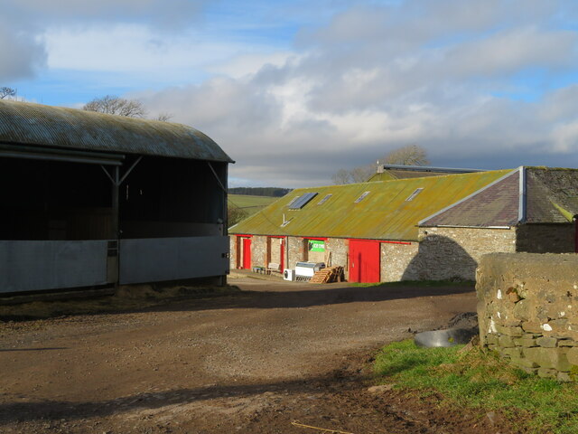
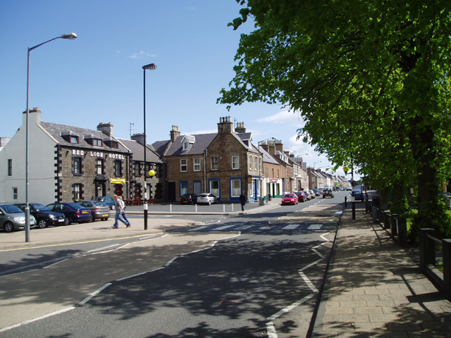
Despite its small size, Bluecairn benefits from its proximity to nearby towns and villages, including Hawick and Jedburgh, where residents can access a wider range of amenities such as shops, schools, and healthcare facilities. The hamlet also benefits from good transport links, making it easily accessible by road.

The surrounding area of Bluecairn offers ample opportunities for outdoor activities, including hiking, cycling, and fishing. The nearby Teviotdale Leisure Centre in Hawick provides additional recreational facilities for residents to enjoy.

History enthusiasts will find Bluecairn intriguing, as the region has a rich heritage dating back centuries. The ruins of nearby medieval castles, such as Hermitage Castle and Jedburgh Abbey, provide a glimpse into the area's past.

Overall, Bluecairn offers a charming and idyllic setting for those seeking a rural lifestyle, with its beautiful landscapes, close community ties, and access to nearby amenities and historical sites.

If you have any feedback on the listing, please let us know in the comments section below.

Bluecairn Images

Images are sourced within 2km of 55.660232/-2.7486017 or Grid Reference NT5341. Thanks to Geograph Open Source API. All images are credited.

Stripwood, Blackcock Hill
Farm buildings at Over Langshaw With Over Langshaw Farm ice cream dispenser, between the rightmost red doors.
Farm buildings at Over Langshaw
With Over Langshaw Farm ice cream dispenser, between the rightmost red doors.
Over Langshaw Farm Shop A novel use for a container.
Over Langshaw Farm Shop
A novel use for a container.
Telephone Exchange near Langshaw In what might be described as 'the middle of nowhere'.
Telephone Exchange near Langshaw
In what might be described as 'the middle of nowhere'.
Rough grassland near Bluecairn With a small plantation and electricity transmission line.
Rough grassland near Bluecairn
With a small plantation and electricity transmission line.
The Moss Burn A tributary of the Allan Water, near Langshaw. The small building will be connected with the hydraulic ram on the burn, marked on the map.
The Moss Burn
A tributary of the Allan Water, near Langshaw. The small building will be connected with the hydraulic ram on the burn, marked on the map.
The Moss Burn Looking north from the bridge over. A tributary of the Allan Water.
The Moss Burn
Looking north from the bridge over. A tributary of the Allan Water.
The valley of the Allan Water Looking east across the valley to Over Langshaw.
The valley of the Allan Water
Looking east across the valley to Over Langshaw.
The Southern Upland Way at Bluecairn Looking south over a landscape of pastures and drystone walls.
The Southern Upland Way at Bluecairn
Looking south over a landscape of pastures and drystone walls.
Landscape at Bluecairn Looking southwest from Bluecairn over an expanse of grassy farmland. The forestry in the distance is on Ladhope Moor.
Landscape at Bluecairn
Looking southwest from Bluecairn over an expanse of grassy farmland. The forestry in the distance is on Ladhope Moor.
Southern Upland Way signpost By a shelter belt at a crossroads near Bluecairn.
Southern Upland Way signpost
By a shelter belt at a crossroads near Bluecairn.
Pasture at Jeaniefield Looking over the pasture to a hill top plantation.
Pasture at Jeaniefield
Looking over the pasture to a hill top plantation.
Rough grassland and a small plantation Near Jeaniefield and Bluecairn.
Rough grassland and a small plantation
Near Jeaniefield and Bluecairn.
Rough grassland near Threepwood With Birch woodland along the course of the Moss Burn.
Rough grassland near Threepwood
With Birch woodland along the course of the Moss Burn.
Rough grassland on Colmslie Hill Marginal land near Threepwood.
Rough grassland on Colmslie Hill
Marginal land near Threepwood.
Early snow at Bluecairns Farm near Blainslie. The farm lies on the route of the Southern Upland Way path. The Eildon Hills are in the distance.
Early snow at Bluecairns Farm near Blainslie.
The farm lies on the route of the Southern Upland Way path. The Eildon Hills are in the distance.
Southern Upland Way near Jeaniefield Bluecairn Farm is just visible behind the copse ahead and the Eildon Hills are a distinctive landmark on the horizon.
Southern Upland Way near Jeaniefield
Bluecairn Farm is just visible behind the copse ahead and the Eildon Hills are a distinctive landmark on the horizon.
Minor road, Lauderdale A quiet road running over the hill from Bainslie towards Stow via Threepwood.
Minor road, Lauderdale
A quiet road running over the hill from Bainslie towards Stow via Threepwood.
Show me another place!

Bluecairn is located at Grid Ref: NT5341 (Lat: 55.660232, Lng: -2.7486017)

Unitary Authority: The Scottish Borders

Police Authority: The Lothians and Scottish Borders

What 3 Words

///braved.roughest.cabinet. Near Earlston, Scottish Borders

Nearby Locations

Bluecairn Bluecairn Strip

Related Wikis

Birkenside, Scottish Borders

Birkenside is a village in the Scottish Borders, Scotland.

Carolside, Scottish Borders

Carolside is an estate by the Leader Water, in the Scottish Borders. It is located one mile (1.6 km) north of Earlston, in the former county of Berwickshire...

Allanshaws

Allanshaws is a place and farm off the B6362, in Lauderdale, by the Allan Water, in the parish of Melrose in the Scottish Borders area of Scotland, formerly...

Whitslaid Tower

Whitslaid Tower was an ancient Berwickshire seat of the Lauder family for over 300 years. It is today a ruin high above the eastern bank of the Leader...

A6105 road

The A6105 road is an A road in the Scottish Borders, Scotland and Northumberland, England. It runs from the village of Earlston to Berwick on Tweed going...

Rhymer's Tower

Rhymer's Tower, also known as Earlston Castle, is located near the village of Earlston, Scottish Borders, Scotland. The castle was the caput baroniae of...

Earlston

Earlston (Scots: Yerlston; Scottish Gaelic: Dùn Airchill) is a civil parish and market town in the county of Berwickshire, within the Scottish Borders...

Earlston railway station

Earlston railway station, in the Scottish Borders village of Earlston, was a station on the now disused Berwickshire Railway.There were two platforms...

Nearby Amenities

Located within 500m of 55.660232,-2.7486017
Power: tower
Lat/Long: 55.658373/-2.7522541
Power: tower
Lat/Long: 55.6606007/-2.7514862
Power: tower
Lat/Long: 55.6627/-2.7505128
The data included in this document is from www.openstreetmap.org. The data is made available under ODbL.

Have you been to Bluecairn?

Leave your review of Bluecairn below (or comments, questions and feedback).