South Thoresby

Settlement in Lincolnshire East Lindsey

England

South Thoresby

Direction Sign – Signpost at Aby village Located on the west side of a T junction in Aby in Aby with Greenfield parish. 3 arms and no finial. See also <a title="https://www.geograph.org.uk/photo/1003737" href="https://www.geograph.org.uk/photo/1003737">Link</a>.

Milestone Society National ID: LI_TF4178
Direction Sign – Signpost at Aby village Credit: A Riley

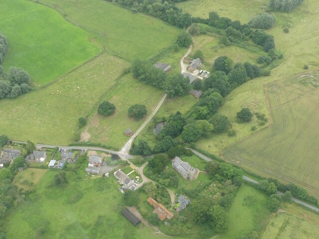
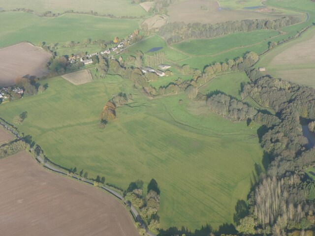
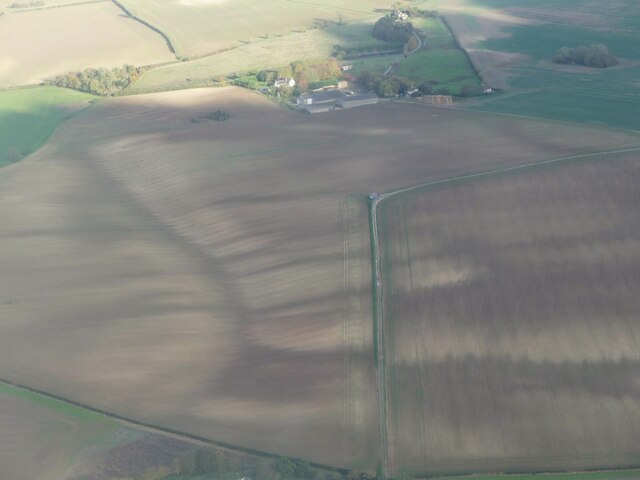
South Thoresby is a small village located in the East Lindsey district of Lincolnshire, England. Situated approximately 10 miles north-east of the market town of Horncastle, the village is nestled amidst the tranquil Lincolnshire Wolds Area of Outstanding Natural Beauty.

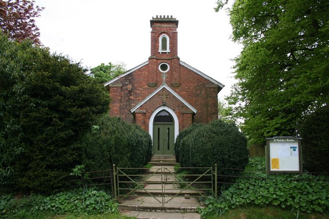
The village dates back to the medieval period and still retains much of its historic charm, with several well-preserved buildings and traditional cottages. The centerpiece of South Thoresby is the Church of St. Leonard, a Grade I listed building that dates back to the 12th century. This striking church boasts a remarkable tower and a beautiful stained glass window.

Despite its small size, South Thoresby offers a range of amenities and facilities for its residents and visitors. The village has a primary school, a village hall, and a post office. It also boasts a welcoming local pub, The King's Head, which serves traditional English fare and provides a cozy atmosphere for socializing.

Surrounded by picturesque countryside, South Thoresby is a haven for nature lovers and outdoor enthusiasts. The village is well-connected to a network of footpaths and bridleways, making it an ideal base for exploring the stunning landscapes of the Lincolnshire Wolds. Additionally, the nearby village of Alford offers a range of attractions, including the Alford Manor House and the Alford Five Sailed Windmill.

Overall, South Thoresby is a charming and peaceful village that offers a glimpse into Lincolnshire's rich history and natural beauty. Whether one is seeking tranquility or outdoor adventures, this idyllic village has something to offer for everyone.

If you have any feedback on the listing, please let us know in the comments section below.

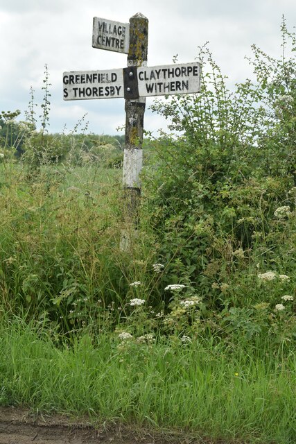
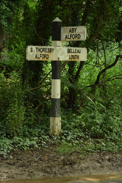
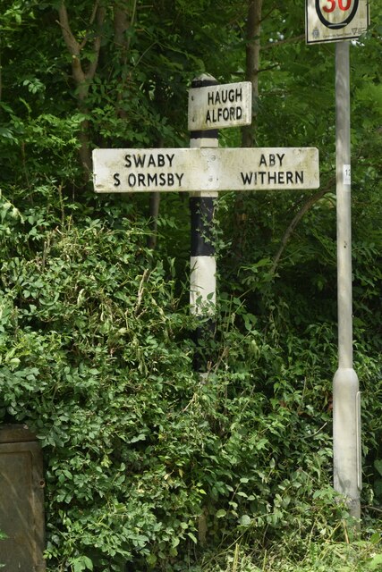
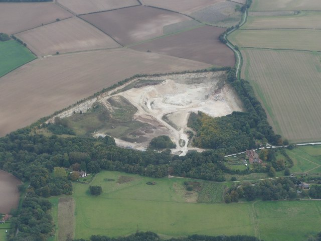
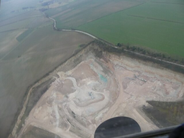
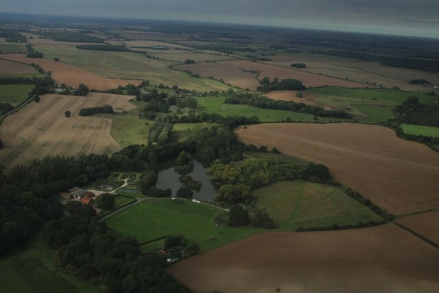
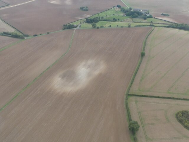
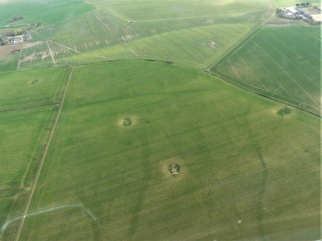
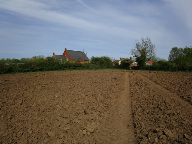
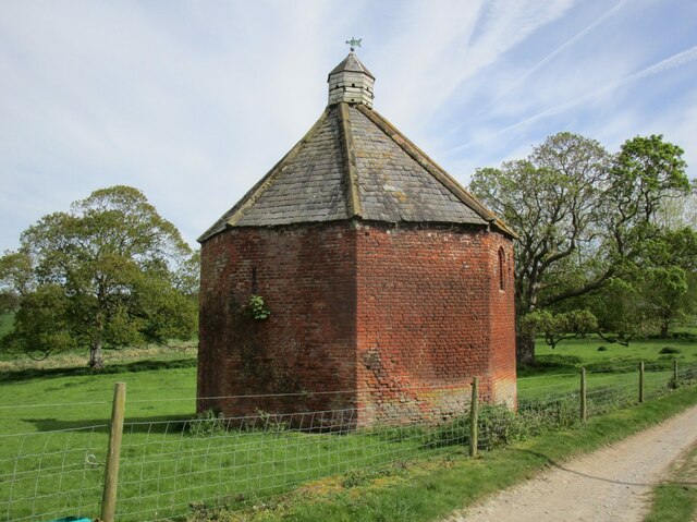
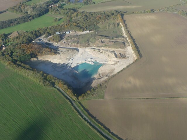
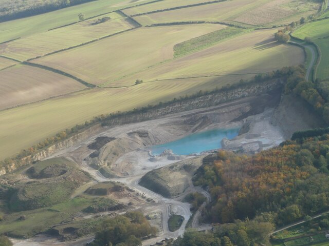
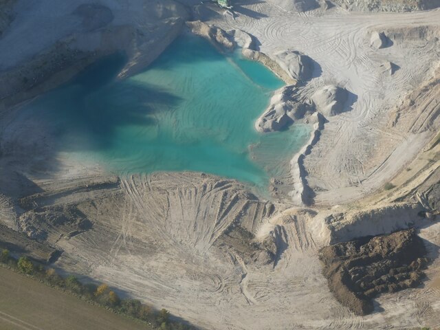
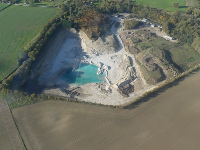
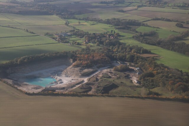
South Thoresby Images

Images are sourced within 2km of 53.272607/0.103785 or Grid Reference TF4077. Thanks to Geograph Open Source API. All images are credited.

Direction Sign – Signpost at Aby village Located on the west side of a T junction in Aby in Aby with Greenfield parish. 3 arms and no finial. See also <a title="https://www.geograph.org.uk/photo/1003737" href="https://www.geograph.org.uk/photo/1003737">Link</a>.

Milestone Society National ID: LI_TF4178
Direction Sign – Signpost at Aby village
Located on the west side of a T junction in Aby in Aby with Greenfield parish. 3 arms and no finial. See also Link. Milestone Society National ID: LI_TF4178
Direction Sign – Signpost northeast of South Thoresby Located on the west side of a T junction northeast of the village in South Thoresby parish. 3 arms and no finial. See also <a title="https://www.geograph.org.uk/photo/1738562" href="https://www.geograph.org.uk/photo/1738562">Link</a>.

Milestone Society National ID: LI_TF4077
Direction Sign – Signpost northeast of South Thoresby
Located on the west side of a T junction northeast of the village in South Thoresby parish. 3 arms and no finial. See also Link. Milestone Society National ID: LI_TF4077
Direction Sign – Signpost opposite Haugh Lane in South Thoresby Located on the northwest side of a T junction opposite Haugh Lane in South Thoresby parish. 3 arms and no finial.

Milestone Society National ID: LI_TF4077A
Direction Sign – Signpost opposite Haugh Lane in South Thoresby
Located on the northwest side of a T junction opposite Haugh Lane in South Thoresby parish. 3 arms and no finial. Milestone Society National ID: LI_TF4077A
Belleau: aerial 2021
Chalk Quarry at South Thoresby: aerial 2021 See <span class="nowrap"><a title="https://gbmsouththoresbyquarry.co.uk/" rel="nofollow ugc noopener" href="https://gbmsouththoresbyquarry.co.uk/">Link</a><img style="margin-left:2px;" alt="External link" title="External link - shift click to open in new window" src="https://s1.geograph.org.uk/img/external.png" width="10" height="10"/></span>
Chalk Quarry at South Thoresby: aerial 2021
See LinkExternal link
Limestone quarry at South Thorseby: aerial 2022
Trout Farm, Belleau: aerial 2022
Soil Mark on field NE of Haugh: aerial 2022
Former chalk pits on field at Haugh: aerial 2023
Footpath approaching Aby The former Methodist chapel, now a house, on the left.
Footpath approaching Aby
The former Methodist chapel, now a house, on the left.
Dovecote at Belleau Dates from the early sixteenth century <span class="nowrap"><a title="https://historicengland.org.uk/listing/the-list/list-entry/1063631?section=official-list-entry" rel="nofollow ugc noopener" href="https://historicengland.org.uk/listing/the-list/list-entry/1063631?section=official-list-entry">Link</a><img style="margin-left:2px;" alt="External link" title="External link - shift click to open in new window" src="https://s1.geograph.org.uk/img/external.png" width="10" height="10"/></span>
Dovecote at Belleau
Dates from the early sixteenth century LinkExternal link
Limestone Quarry and blue lagoon, South Thoresby: aerial 2023 (1) For explanation of blue quarry lakes see <span class="nowrap"><a title="https://en.wikipedia.org/wiki/Harpur_Hill_Quarry?fbclid=IwAR1DY23Hhe8TIAJmY2HvKQ5dHJKsoxANUsRKbHyBVxfBFYG_gAuKwgvre2k" rel="nofollow ugc noopener" href="https://en.wikipedia.org/wiki/Harpur_Hill_Quarry?fbclid=IwAR1DY23Hhe8TIAJmY2HvKQ5dHJKsoxANUsRKbHyBVxfBFYG_gAuKwgvre2k">Link</a><img style="margin-left:2px;" alt="External link" title="External link - shift click to open in new window" src="https://s1.geograph.org.uk/img/external.png" width="10" height="10"/></span>
Limestone Quarry and blue lagoon, South Thoresby: aerial 2023 (1)
For explanation of blue quarry lakes see LinkExternal link
Limestone Quarry and blue lagoon, South Thoresby: aerial 2023 (2) For explanation of blue quarry lakes see <span class="nowrap"><a title="https://en.wikipedia.org/wiki/Harpur_Hill_Quarry?fbclid=IwAR1DY23Hhe8TIAJmY2HvKQ5dHJKsoxANUsRKbHyBVxfBFYG_gAuKwgvre2k" rel="nofollow ugc noopener" href="https://en.wikipedia.org/wiki/Harpur_Hill_Quarry?fbclid=IwAR1DY23Hhe8TIAJmY2HvKQ5dHJKsoxANUsRKbHyBVxfBFYG_gAuKwgvre2k">Link</a><img style="margin-left:2px;" alt="External link" title="External link - shift click to open in new window" src="https://s1.geograph.org.uk/img/external.png" width="10" height="10"/></span>
Limestone Quarry and blue lagoon, South Thoresby: aerial 2023 (2)
For explanation of blue quarry lakes see LinkExternal link
Limestone Quarry and blue lagoon, South Thoresby: aerial 2023 (3) For explanation of blue quarry lakes see <span class="nowrap"><a title="https://en.wikipedia.org/wiki/Harpur_Hill_Quarry?fbclid=IwAR1DY23Hhe8TIAJmY2HvKQ5dHJKsoxANUsRKbHyBVxfBFYG_gAuKwgvre2k" rel="nofollow ugc noopener" href="https://en.wikipedia.org/wiki/Harpur_Hill_Quarry?fbclid=IwAR1DY23Hhe8TIAJmY2HvKQ5dHJKsoxANUsRKbHyBVxfBFYG_gAuKwgvre2k">Link</a><img style="margin-left:2px;" alt="External link" title="External link - shift click to open in new window" src="https://s1.geograph.org.uk/img/external.png" width="10" height="10"/></span>
Limestone Quarry and blue lagoon, South Thoresby: aerial 2023 (3)
For explanation of blue quarry lakes see LinkExternal link
Limestone Quarry and blue lagoon, South Thoresby: aerial 2023 (4) For explanation of blue quarry lakes see <span class="nowrap"><a title="https://en.wikipedia.org/wiki/Harpur_Hill_Quarry?fbclid=IwAR1DY23Hhe8TIAJmY2HvKQ5dHJKsoxANUsRKbHyBVxfBFYG_gAuKwgvre2k" rel="nofollow ugc noopener" href="https://en.wikipedia.org/wiki/Harpur_Hill_Quarry?fbclid=IwAR1DY23Hhe8TIAJmY2HvKQ5dHJKsoxANUsRKbHyBVxfBFYG_gAuKwgvre2k">Link</a><img style="margin-left:2px;" alt="External link" title="External link - shift click to open in new window" src="https://s1.geograph.org.uk/img/external.png" width="10" height="10"/></span>
Limestone Quarry and blue lagoon, South Thoresby: aerial 2023 (4)
For explanation of blue quarry lakes see LinkExternal link
Limestone Quarry and blue lagoon, South Thoresby: aerial 2023 (4)  For explanation of blue quarry lakes see <span class="nowrap"><a title="https://en.wikipedia.org/wiki/Harpur_Hill_Quarry?fbclid=IwAR1DY23Hhe8TIAJmY2HvKQ5dHJKsoxANUsRKbHyBVxfBFYG_gAuKwgvre2k" rel="nofollow ugc noopener" href="https://en.wikipedia.org/wiki/Harpur_Hill_Quarry?fbclid=IwAR1DY23Hhe8TIAJmY2HvKQ5dHJKsoxANUsRKbHyBVxfBFYG_gAuKwgvre2k">Link</a><img style="margin-left:2px;" alt="External link" title="External link - shift click to open in new window" src="https://s1.geograph.org.uk/img/external.png" width="10" height="10"/></span>
Limestone Quarry and blue lagoon, South Thoresby: aerial 2023 (4)
For explanation of blue quarry lakes see LinkExternal link
Earthworks in field at Belleau: aerial 2023 (1) There are several features mentioned in the HER. See also  <a href="https://www.geograph.org.uk/photo/7658054">TF4078 : Earthworks in field at Belleau: aerial 2023 (2) </a>.

Medieval Village (seems to be just a cropmark, below the light-coloured trapezoidal field): <span class="nowrap"><a title="https://www.heritagegateway.org.uk/Gateway/Results_Single.aspx?uid=MLI42428&resourceID=1006" rel="nofollow ugc noopener" href="https://www.heritagegateway.org.uk/Gateway/Results_Single.aspx?uid=MLI42428&resourceID=1006">Link</a><img style="margin-left:2px;" alt="External link" title="External link - shift click to open in new window" src="https://s1.geograph.org.uk/img/external.png" width="10" height="10"/></span>

Belleau Manor moated site, which does not seem to coincide exactly with the rectangular earthworks: <span class="nowrap"><a title="https://www.heritagegateway.org.uk/Gateway/Results_Single.aspx?uid=MLI43600&resourceID=1006" rel="nofollow ugc noopener" href="https://www.heritagegateway.org.uk/Gateway/Results_Single.aspx?uid=MLI43600&resourceID=1006">Link</a><img style="margin-left:2px;" alt="External link" title="External link - shift click to open in new window" src="https://s1.geograph.org.uk/img/external.png" width="10" height="10"/></span>
Earthworks in field at Belleau: aerial 2023 (1)
There are several features mentioned in the HER. See also TF4078 : Earthworks in field at Belleau: aerial 2023 (2) . Medieval Village (seems to be just a cropmark, below the light-coloured trapezoidal field): LinkExternal link Belleau Manor moated site, which does not seem to coincide exactly with the rectangular earthworks: LinkExternal link
Cropmarks on field at Haugh: aerial 2023
Show me another place!

South Thoresby is located at Grid Ref: TF4077 (Lat: 53.272607, Lng: 0.103785)

Division: Parts of Lindsey

Administrative County: Lincolnshire

District: East Lindsey

Police Authority: Lincolnshire

What 3 Words

///gilding.levels.adjusted. Near Burwell, Lincolnshire

Related Wikis

South Thoresby

South Thoresby is a village and civil parish in the East Lindsey district of Lincolnshire, England. It is situated 10 miles (16 km) north-east from Horncastle...

Belleau, Lincolnshire

Belleau is a hamlet and civil parish in the East Lindsey district of Lincolnshire, England. It is situated approximately 7 miles (11 km) south-east of...

Aby, Lincolnshire

Aby ( AY-bee) is a village in the East Lindsey district of Lincolnshire, England. It is approximately 30 miles (48 km) east from the city and county town...

Swaby

Swaby is a civil parish and village in the East Lindsey district of Lincolnshire, England, about 8 miles (13 km) north from Spilsby, and 6 miles (9.7 km...

Nearby Amenities

Located within 500m of 53.272607,0.103785
South Thoresby
Is In: Lincolnshire, England, UK
Place: hamlet
Source: Bing
Lat/Long: 53.2715916/0.1003293
Bus Stop
Vine Inn
Naptan AtcoCode: 270000009789
Naptan Bearing: SE
Naptan CommonName: Vine Inn
Naptan Indicator: SE - bound
Naptan Landmark: Vine Inn
Naptan NaptanCode: linjdwjt
Naptan Street: South Thoresby
Naptan Verified: no
Source: naptan_import
Lat/Long: 53.2707987/0.0998247
Bus Stop
Vine Inn
Naptan AtcoCode: 270000014536
Naptan Bearing: NE
Naptan CommonName: Vine Inn
Naptan Indicator: NE - bound
Naptan Landmark: Vine Inn
Naptan NaptanCode: linjpwga
Naptan Street: South Thoresby
Naptan Verified: no
Source: naptan_import
Lat/Long: 53.2700185/0.1007313
Bus Stop
Vine Inn
Naptan AtcoCode: 270000014537
Naptan Bearing: SW
Naptan CommonName: Vine Inn
Naptan Indicator: SW - bound
Naptan Landmark: Vine Inn
Naptan NaptanCode: linjpwgd
Naptan Street: South Thoresby
Naptan Verified: no
Source: naptan_import
Lat/Long: 53.2699274/0.1008019
Bus Stop
Vine Inn
Naptan AtcoCode: 2700LSTT1553
Naptan Bearing: NW
Naptan CommonName: Vine Inn
Naptan Indicator: NW - bound
Naptan Landmark: Vine Inn
Naptan NaptanCode: linamatj
Naptan Street: South Thoresby
Naptan Verified: no
Source: naptan_import
Lat/Long: 53.2706251/0.0999812
Limepits Farm
Place: farm
Source: Bing
Lat/Long: 53.273073/0.1033839
Manor Farm
Place: farm
Source: Bing
Lat/Long: 53.2703424/0.0990255
The Vine B & B
Addr City: Alford
Addr Country: GB
Addr Housename: Vine Inn
Addr Postcode: LN13 0AS
Addr Street: Church Lane
Addr Village: South Thoresby
Fhrs Authority: East Lindsey
Fhrs Id: 1178673
Fhrs Local Authority Id: EHFDI/03398/19
Tourism: guest_house
Lat/Long: 53.270396/0.1004836
Man Made: windpump
Material: metal
Lat/Long: 53.2762338/0.1026002
The data included in this document is from www.openstreetmap.org. The data is made available under ODbL.

Have you been to South Thoresby?

Leave your review of South Thoresby below (or comments, questions and feedback).