Blowinghouse
Settlement in Cornwall
England
Blowinghouse

The requested URL returned error: 429 Too Many Requests
If you have any feedback on the listing, please let us know in the comments section below.
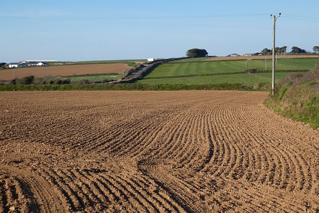
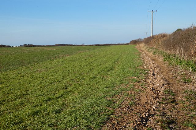
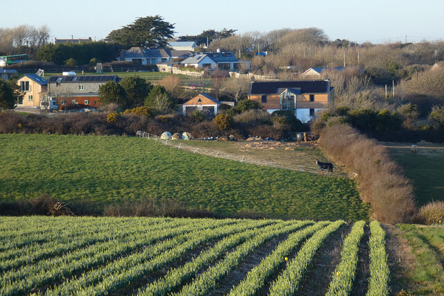
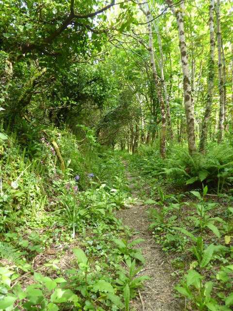
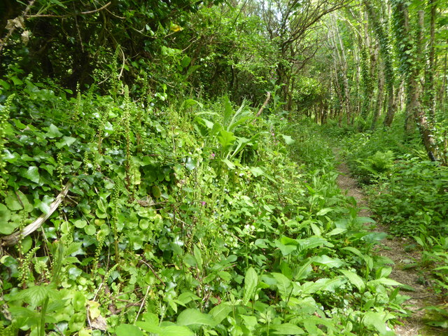
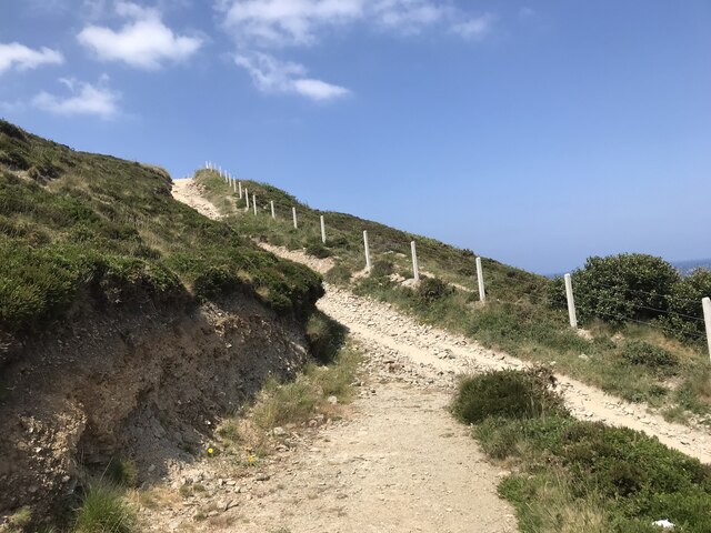
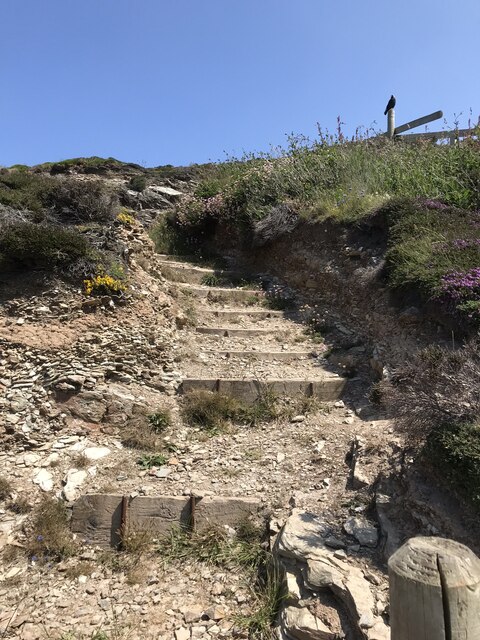
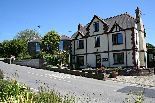
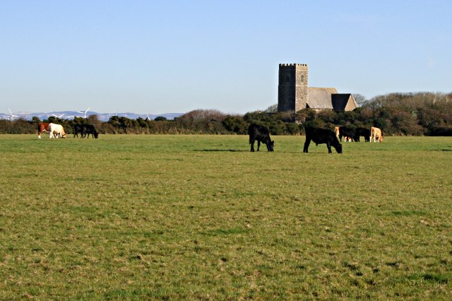
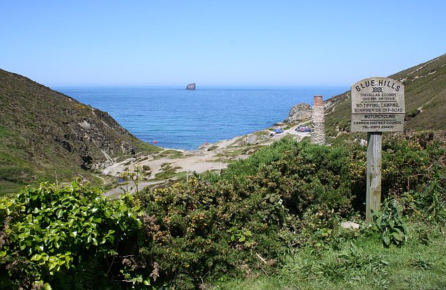
Blowinghouse Images
Images are sourced within 2km of 50.315514/-5.17585 or Grid Reference SW7451. Thanks to Geograph Open Source API. All images are credited.


Blowinghouse is located at Grid Ref: SW7451 (Lat: 50.315514, Lng: -5.17585)
Unitary Authority: Cornwall
Police Authority: Devon and Cornwall
What 3 Words
///incurs.songs.flashback. Near St Agnes, Cornwall
Nearby Locations
Related Wikis
Barkla Shop
Barkla Shop is a small hamlet in mid Cornwall, England, United Kingdom half-a-mile east of St Agnes. It is in the civil parish of Perranzabuloe. Barkla...
Mithian
Mithian (Cornish: Mydhyan) is a village in Cornwall, England, United Kingdom. It is about six miles (9.6 km) northeast of Redruth and a mile east of St...
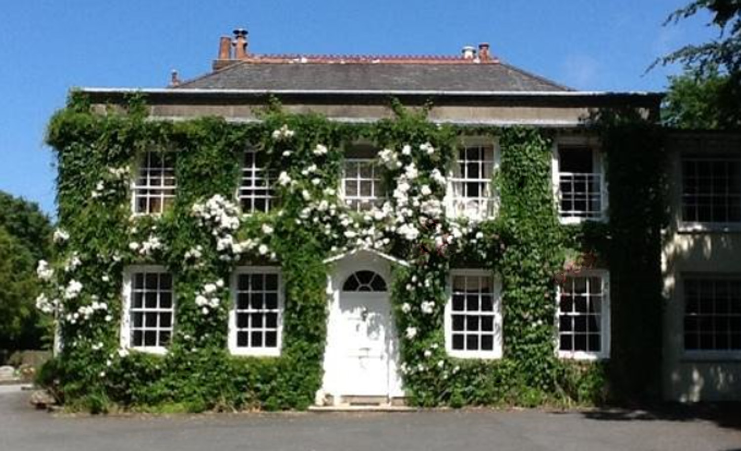
Rose in Vale Country House Hotel
Rose in Vale Country House Hotel, in Mithian, Cornwall, England, UK, is a building of historical significance and is Grade II* listed on the English Heritage...
Trevellas
Trevellas is a village in Cornwall, England, United Kingdom, situated midway between St Agnes and Perranporth. It was first recorded as a place in Cornwall...
Nearby Amenities
Located within 500m of 50.315514,-5.17585Have you been to Blowinghouse?
Leave your review of Blowinghouse below (or comments, questions and feedback).