Bloomfield
Settlement in Staffordshire
England
Bloomfield

Bloomfield is a small village located in the county of Staffordshire, England. Situated in the West Midlands region, it is part of the East Staffordshire district and lies approximately five miles northeast of the town of Burton upon Trent. The village is surrounded by picturesque countryside, with the River Trent flowing nearby, offering residents and visitors a tranquil and scenic environment.
Bloomfield has a rich history, with evidence of human settlement dating back to Roman times. Today, it is a close-knit community with a population of around 500 residents. The village retains its rural charm, characterized by its quaint cottages, leafy lanes, and a traditional village green.
Despite its relatively small size, Bloomfield offers a range of amenities for its residents. There is a local primary school, providing education for children in the area, and a village hall that serves as a hub for community activities and events. The village also has a charming local pub, where locals and visitors can enjoy a drink or a bite to eat.
For those seeking recreational opportunities, Bloomfield benefits from its proximity to the beautiful Staffordshire countryside. The area offers numerous walking and cycling routes, allowing residents to explore the natural beauty of the surrounding landscape.
Overall, Bloomfield is a peaceful and idyllic village that provides a serene setting for its residents. With its rich history, friendly community, and access to the stunning Staffordshire countryside, it is a wonderful place to live or visit.
If you have any feedback on the listing, please let us know in the comments section below.
Bloomfield Images
Images are sourced within 2km of 52.536072/-2.072209 or Grid Reference SO9593. Thanks to Geograph Open Source API. All images are credited.


Bloomfield is located at Grid Ref: SO9593 (Lat: 52.536072, Lng: -2.072209)
Unitary Authority: Sandwell
Police Authority: West Midlands
What 3 Words
///impose.dirt.ruled. Near Tipton, West Midlands
Nearby Locations
Related Wikis
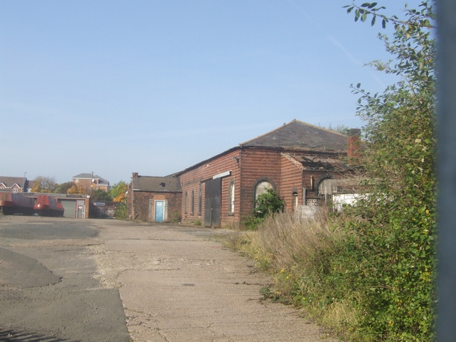
Boat Gauging House, Tipton
The Boat Gauging House is a building in Tipton, West Midlands, England. It is situated by the Main Line of the Birmingham Canal Navigations, and was used...

BCN Main Line
The BCN Main Line, or Birmingham Canal Navigations Main Line is the evolving route of the Birmingham Canal between Birmingham and Wolverhampton in England...
Tibbington
Tibbington is a residential area of Tipton, a town in the West Midlands of England. It takes its name from the original 11th-century name of Tipton – Tibbingtone...

Princes End and Coseley railway station
Princes End and Coseley railway station was a station built by the Oxford, Worcester and Wolverhampton Railway in 1853. It was one of two stations in Princes...
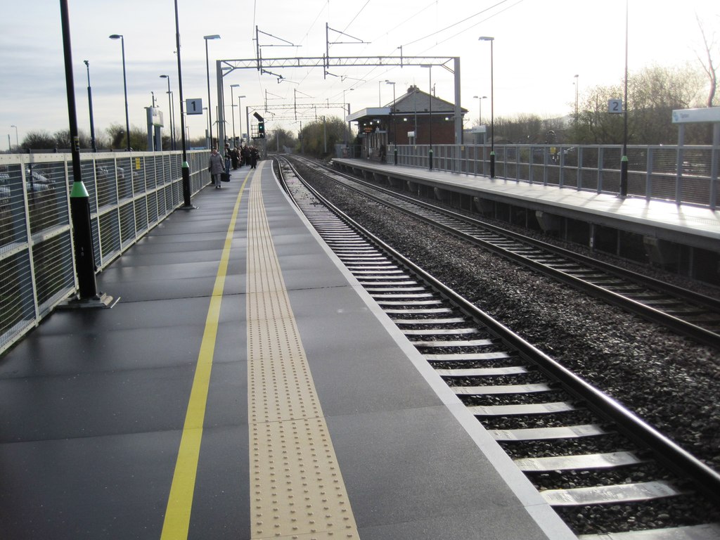
Tipton railway station
Tipton railway station is located in the industrial town of Tipton in the borough of Sandwell, West Midlands, England and was known as Tipton Owen Street...
Black Country Urban Forest
The Black Country Urban Forest (BCUF) is a project to make urban forestry the characteristic landscape of one of England's industrial areas, The Black...
Tipton Five Ways railway station
Tipton Five Ways railway station was a station built by the Oxford, Worcester and Wolverhampton Railway, serving the town of Tipton in the western section...

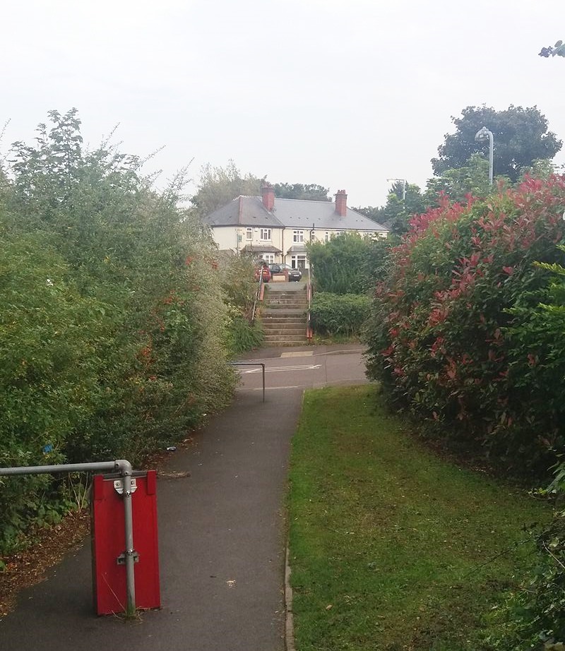
Princes End
Princes End is an area of Tipton, West Midlands, England, near the border with Coseley (of which approximately half of the area was part of until 1966...
Related Videos

Walking Into The Village At The Black Country Living Museum
Walking into the village area at The Black Country Living Museum, Dudley, West Midlands.
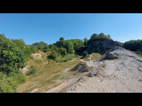
Wrens Nest| walk about and chill
hey everyone, this is a little different to my normal videos but seeing as my last one did really well, I thought I'd upload another ...
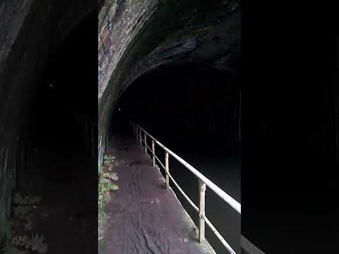
Netherton Tunnel - A Real Dark Experience
Netherton Tunnel in netherton in the west midlands is one of the longest tunnels in great Britain and the last Canal Tunnel to be ...
Nearby Amenities
Located within 500m of 52.536072,-2.072209Have you been to Bloomfield?
Leave your review of Bloomfield below (or comments, questions and feedback).