Littleton, South
Settlement in Worcestershire Wychavon
England
Littleton, South

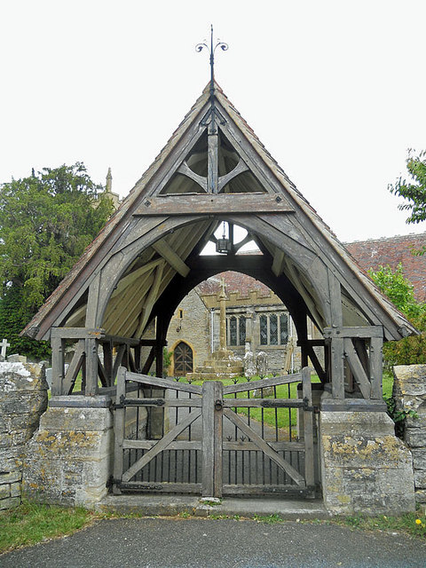
Littleton is a small village located in the southern part of Worcestershire County, England. It is situated near the town of Evesham and lies in the Vale of Evesham, a picturesque area renowned for its vibrant landscapes and agricultural heritage. Littleton is a well-established community with a population of around 1,000 residents.
The village is known for its charming thatched-roof cottages and historic buildings, which contribute to its quaint and traditional atmosphere. Littleton offers a range of amenities for its residents, including a local primary school, a village hall, and a post office. There is also a village pub, providing a social hub for locals and visitors alike.
Nature lovers can enjoy the surrounding countryside, which offers numerous walking and cycling routes, allowing residents to explore the beautiful Worcestershire countryside. Nearby attractions include the Vale Golf and Country Club and the renowned Cotswolds, a designated Area of Outstanding Natural Beauty, which is just a short drive away.
Littleton benefits from its proximity to larger towns such as Evesham, where residents can access a wider range of services, including supermarkets, shops, and leisure facilities. The village also enjoys good transportation links, with regular bus services connecting it to neighboring towns and cities.
Overall, Littleton, South, Worcestershire offers a peaceful and idyllic village lifestyle, with its stunning rural surroundings and close-knit community, making it an attractive place to live for those seeking a slower pace of life within easy reach of larger urban centers.
If you have any feedback on the listing, please let us know in the comments section below.
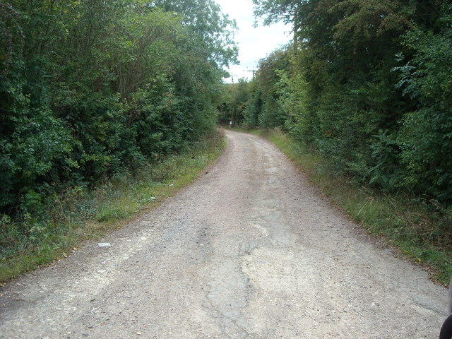
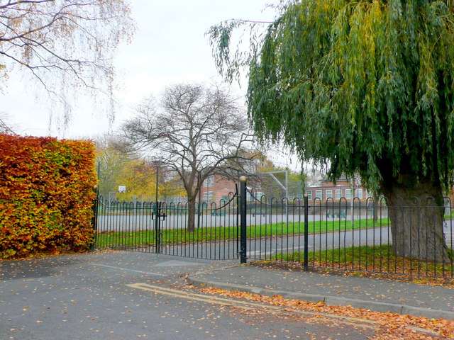
Littleton, South Images
Images are sourced within 2km of 52.113738/-1.890092 or Grid Reference SP0746. Thanks to Geograph Open Source API. All images are credited.


Littleton, South is located at Grid Ref: SP0746 (Lat: 52.113738, Lng: -1.890092)
Administrative County: Worcestershire
District: Wychavon
Police Authority: West Mercia
What 3 Words
///pulps.aimless.avoiding. Near South Littleton, Worcestershire
Nearby Locations
Related Wikis
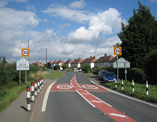
South Littleton
South Littleton is a village and civil parish located in the Wychavon district of Worcestershire, England. South Littleton is located midway between Evesham...
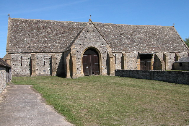
Middle Littleton Tythe Barn
Middle Littleton Tythe Barn, also known as Middle Littleton Tithe Barn, is a grade I listed 13th or 14th-century tithe barn in the village of Middle Littleton...
North and Middle Littleton
North and Middle Littleton is a civil parish located in the Wychavon district of Worcestershire, England. The parish comprises the villages of North Littleton...

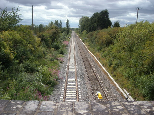
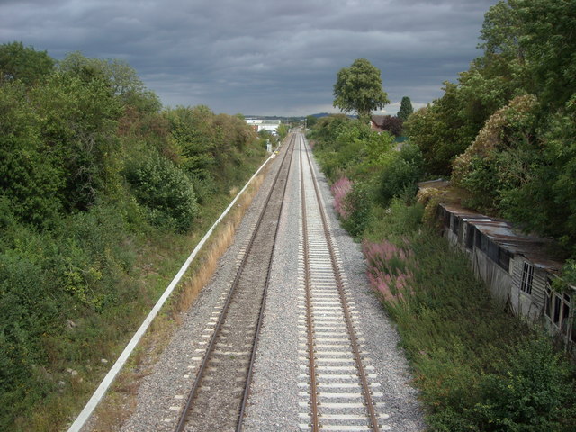
Littleton and Badsey railway station
Littleton and Badsey railway station was a station on the Great Western Railway's Oxford, Worcester and Wolverhampton line, near the town of Evesham, Worcestershire...
Nearby Amenities
Located within 500m of 52.113738,-1.890092Have you been to Littleton, South?
Leave your review of Littleton, South below (or comments, questions and feedback).