Lane, South

Settlement in Yorkshire

England

Lane, South

Old milestone Travelling westwards and back out of Cawthorne village is the 5 miles from Barnsley West Riding CC milestone.   It is on the north side of the road at Clough Green and opposite the pipeworks.  Another milestone that was professionally painted in 2015.   The full height of the metal attachment with the two fastening bolts at ground level visible.   About 15-20cm of stone will be under ground level.  The Public Footpath sign indicates a section of the Barnsley Boundary Walk.   Grade II listed 1286788.
Old milestone Credit: Chris Minto

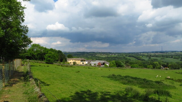
Lane, South Yorkshire is a small village located in the county of South Yorkshire in England. Situated approximately 8 miles south of the city of Sheffield, Lane is known for its picturesque countryside and tranquil atmosphere.

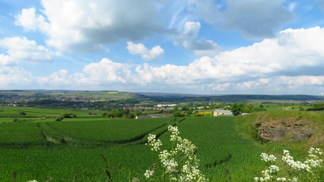
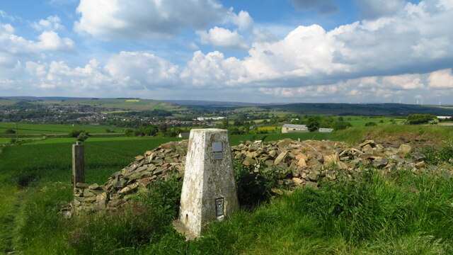
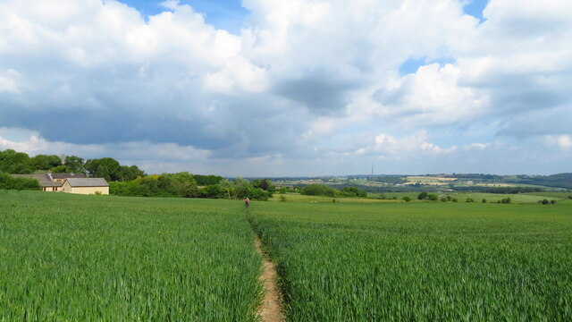
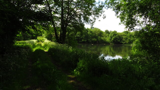
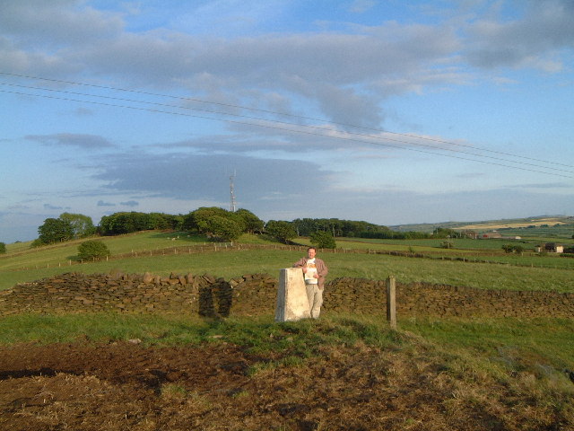
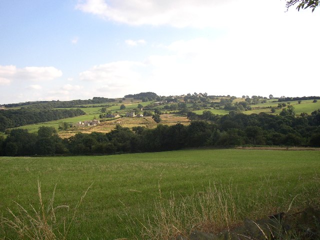
The village is surrounded by rolling hills and lush green fields, making it an ideal location for those seeking a peaceful retreat from the hustle and bustle of city life. The area is popular with walkers and hikers, as it offers a variety of scenic trails and paths to explore.

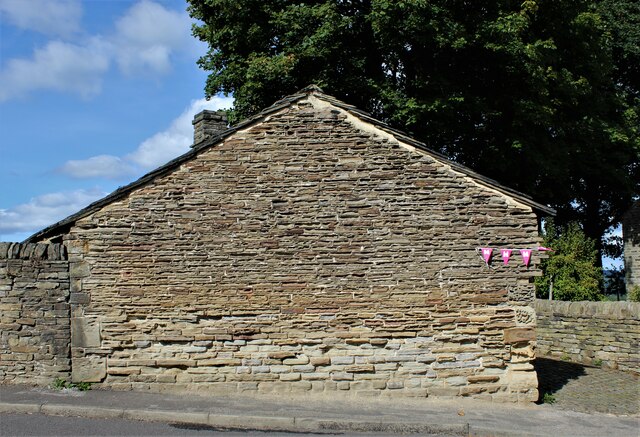
Lane itself is a close-knit community with a population of around 500 residents. The village is characterized by charming stone cottages and traditional buildings, which give it a quaint and timeless feel. The local economy is primarily based on agriculture, with many residents working in the farming industry.

Although small in size, Lane offers a range of amenities for its residents. These include a village hall, a small primary school, and a local pub, which serves as a social hub for the community. The village also has good transport links, with regular bus services connecting it to nearby towns and cities.

Overall, Lane, South Yorkshire is a rural idyll that offers a peaceful and picturesque lifestyle. With its beautiful countryside, strong sense of community, and convenient amenities, it is a popular choice for those looking to escape the urban sprawl and embrace a more relaxed way of life.

If you have any feedback on the listing, please let us know in the comments section below.
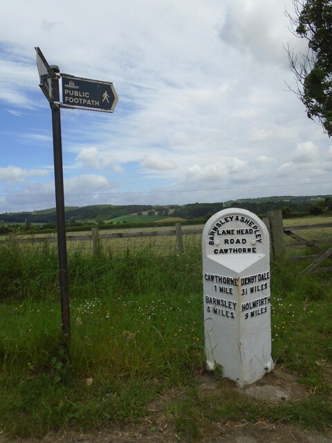
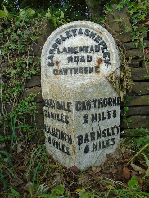
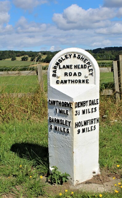
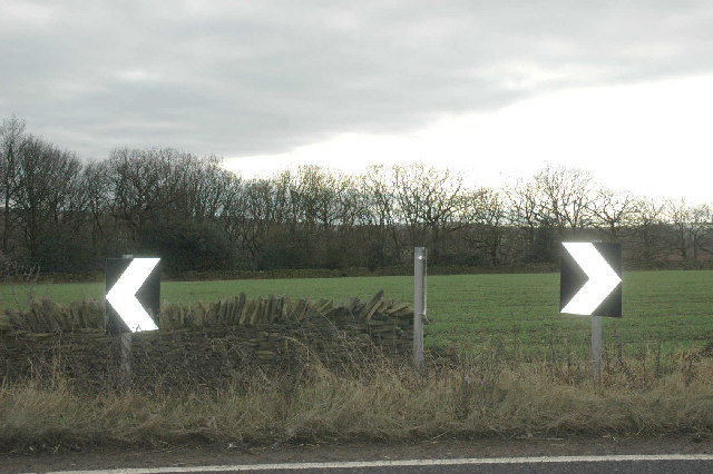
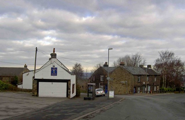
Lane, South Images

Images are sourced within 2km of 53.549994/-1.6090553 or Grid Reference SE2606. Thanks to Geograph Open Source API. All images are credited.

Old milestone Travelling westwards and back out of Cawthorne village is the 5 miles from Barnsley West Riding CC milestone.   It is on the north side of the road at Clough Green and opposite the pipeworks.  Another milestone that was professionally painted in 2015.   The full height of the metal attachment with the two fastening bolts at ground level visible.   About 15-20cm of stone will be under ground level.  The Public Footpath sign indicates a section of the Barnsley Boundary Walk.   Grade II listed 1286788.
Old milestone
Travelling westwards and back out of Cawthorne village is the 5 miles from Barnsley West Riding CC milestone. It is on the north side of the road at Clough Green and opposite the pipeworks. Another milestone that was professionally painted in 2015. The full height of the metal attachment with the two fastening bolts at ground level visible. About 15-20cm of stone will be under ground level. The Public Footpath sign indicates a section of the Barnsley Boundary Walk. Grade II listed 1286788.
Old milestone The route between Barnsley, Shepley Lane Head and Holmfirth was never turnpiked.  So before County Councils erected milestones in the late 19C/early 20C simple stones would have been set up at junctions to guide travellers.   This stone is at the junction of the A635 with North Lane which meanders towards Penistone.  It is thought that it was originally inscribed with Penistone, Barnsley and Huddersfield.  Although painted in 2015 it is under a large tree hence the green mould.  On the day of this picture it was covered with an advertising hoarding, taken off and replaced.
Old milestone
The route between Barnsley, Shepley Lane Head and Holmfirth was never turnpiked. So before County Councils erected milestones in the late 19C/early 20C simple stones would have been set up at junctions to guide travellers. This stone is at the junction of the A635 with North Lane which meanders towards Penistone. It is thought that it was originally inscribed with Penistone, Barnsley and Huddersfield. Although painted in 2015 it is under a large tree hence the green mould. On the day of this picture it was covered with an advertising hoarding, taken off and replaced.
Old milestone The 6 miles from Barnsley, late 19C West Riding CC, milestone is just west of Coach Gate Lane which leads to the ancient Gunthwaite Hall.   It is on a very narrow verge almost at the Barnsley/Kirklees boundary.  Not well painted but in a very difficult place to work.  It is Grade II listed 1314730.
Old milestone
The 6 miles from Barnsley, late 19C West Riding CC, milestone is just west of Coach Gate Lane which leads to the ancient Gunthwaite Hall. It is on a very narrow verge almost at the Barnsley/Kirklees boundary. Not well painted but in a very difficult place to work. It is Grade II listed 1314730.
Milepost on the A635
Hoylandswaine Nail Forge
View towards Penistone from Hoylandswaine Trig Point
Hoylandswaine trig point and view over Penistone
On the path from Hoylandswaine towards Renald Lane
On path leading west towards Cat Hill Farm, Cat Hill
Gunthwaite Dam near Upper Denby
Trig point at Hunger Hill near Hoylandswaine Looking east towards transmitter in same square.
Trig point at Hunger Hill near Hoylandswaine
Looking east towards transmitter in same square.
Gunthwaite Spa This is a strongly tasting spring that is supposed to have healing qualities and was at one time blessed annually by religious leaders from Wakefield, Doncaster and Pontefract.
Gunthwaite Spa
This is a strongly tasting spring that is supposed to have healing qualities and was at one time blessed annually by religious leaders from Wakefield, Doncaster and Pontefract.
View towards the Cat Hill area of Hoyland Swaine This is taken from the lane near Broad Oak, in Gunthwaite.
View towards the Cat Hill area of Hoyland Swaine
This is taken from the lane near Broad Oak, in Gunthwaite.
Dangerous bend near Nether End Winter woodland, winter cereal and dead roadside vegetation . . . only the signs seem perky.
Dangerous bend near Nether End
Winter woodland, winter cereal and dead roadside vegetation . . . only the signs seem perky.
Copses on Whin Moor The moor with its whins has long gone, isolated patches of trees now provide welcome havens for wildlife.
Copses on Whin Moor
The moor with its whins has long gone, isolated patches of trees now provide welcome havens for wildlife.
Near Guyder Bottom An ornamental gateway, rough pasture and woodland under the January sun.
Near Guyder Bottom
An ornamental gateway, rough pasture and woodland under the January sun.
St. John the Evangelist Church, Hoylandswaine This church has the look of a nineteenth century Gothic Revival building - possibly a 'Waterloo church' built using labour involving troops coming back from the Napoleonic wars, in an attempt to reduce potential social unrest.
St. John the Evangelist Church, Hoylandswaine
This church has the look of a nineteenth century Gothic Revival building - possibly a 'Waterloo church' built using labour involving troops coming back from the Napoleonic wars, in an attempt to reduce potential social unrest.
Show me another place!

Lane, South is located at Grid Ref: SE2606 (Lat: 53.549994, Lng: -1.6090553)

Division: West Riding

Unitary Authority: Barnsley

Police Authority: South Yorkshire

What 3 Words

///soft.deciding.sidelined. Near Penistone, South Yorkshire

Related Wikis

Hoylandswaine

Hoylandswaine is a village in the Metropolitan Borough of Barnsley, South Yorkshire, England. Located near Penistone and west of the M1 along the A628...

Barnsley West and Penistone (UK Parliament constituency)

Barnsley West and Penistone was a parliamentary constituency in South Yorkshire which returned one Member of Parliament (MP) to the House of Commons of...

Gunthwaite

Gunthwaite is a hamlet in the Metropolitan Borough of Barnsley in South Yorkshire, England. It is in the civil parish of Gunthwaite and Ingbirchworth and...

Kine Moor

Kine Moor is a settlement in the English county of South Yorkshire. Kine Moor is part of the metropolitan borough of Barnsley and the civil parish of Silkstone...

Cannon Hall

Cannon Hall is a country house museum located between the villages of Cawthorne and High Hoyland some 5 miles (8 km) west of Barnsley, South Yorkshire...

Penistone Grammar School

Penistone Grammar School (PGS) is a co-educational secondary school and sixth form located in Penistone, South Yorkshire, England.Founded in 1392, it is...

Cannon Hall Farm

Cannon Hall Farm is a working farm and tourist attraction close to the village of Cawthorne, near Barnsley in the English county of South Yorkshire. Open...

Noblethorpe

Noblethorpe is a hamlet in the English county of South Yorkshire. The hamlet falls within the Penistone East Ward of the Barnsley MBC. Noblethorpe lies...

Nearby Amenities

Located within 500m of 53.549994,-1.6090553
Animal Shelter
Albert's Horse Sanctuary
Lat/Long: 53.5510274/-1.6037037
Barrier: stile
Stile: stepover
Lat/Long: 53.5507045/-1.6032408
Barrier: stile
Lat/Long: 53.550703/-1.6151672
Barrier: stile
Step Count: 2
Stile: stepover
Lat/Long: 53.5523249/-1.6089957
Barrier: stile
Stile: stepover
Lat/Long: 53.5513215/-1.6096846
Barrier: stile
Stile: stepover
Lat/Long: 53.5512968/-1.604746
The data included in this document is from www.openstreetmap.org. The data is made available under ODbL.

Have you been to Lane, South?

Leave your review of Lane, South below (or comments, questions and feedback).