Lambeth, South
Settlement in Surrey
England
Lambeth, South

Lambeth is a district located in the southern part of Surrey, England. It is situated just south of the River Thames and is part of the larger metropolitan area of London. Lambeth is known for its rich history, diverse culture, and vibrant atmosphere.
The district is home to several iconic landmarks and institutions. One of the most notable is the Lambeth Palace, which has been the official residence of the Archbishop of Canterbury since the 13th century. This historic building is surrounded by beautiful gardens and serves as an important religious and cultural center.
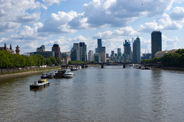
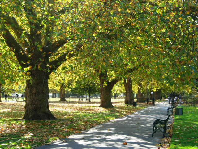
Lambeth is also famous for its proximity to the South Bank of the Thames, which offers stunning views of the cityscape. The South Bank is home to various cultural attractions, including the renowned Southbank Centre, which hosts a range of events and festivals throughout the year.
In addition to its cultural offerings, Lambeth boasts a bustling food and drink scene. The district is home to numerous restaurants, cafes, and bars, offering a wide range of cuisines and dining experiences.
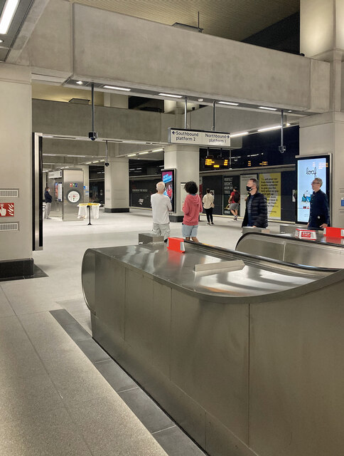
Lambeth is well-connected to the rest of London, with excellent transport links. The area is served by several underground and railway stations, providing easy access to the city center and other parts of Surrey.
Overall, Lambeth is a vibrant and lively district, offering a unique blend of history, culture, and modern amenities. Its central location and diverse attractions make it an appealing destination for residents and visitors alike.
If you have any feedback on the listing, please let us know in the comments section below.
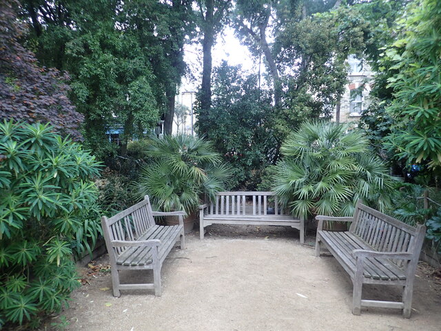
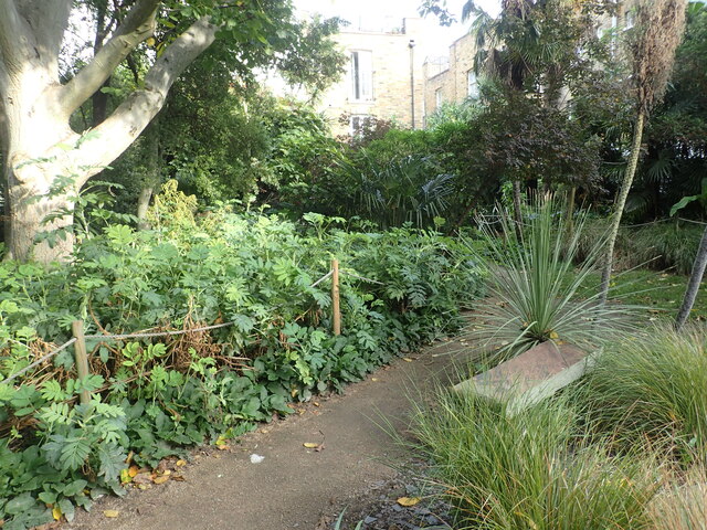
Lambeth, South Images
Images are sourced within 2km of 51.477795/-0.124364 or Grid Reference TQ3077. Thanks to Geograph Open Source API. All images are credited.


Lambeth, South is located at Grid Ref: TQ3077 (Lat: 51.477795, Lng: -0.124364)
Unitary Authority: Lambeth
Police Authority: Metropolitan
What 3 Words
///funded.plus.unwanted. Near Brixton, London
Nearby Locations
Related Wikis
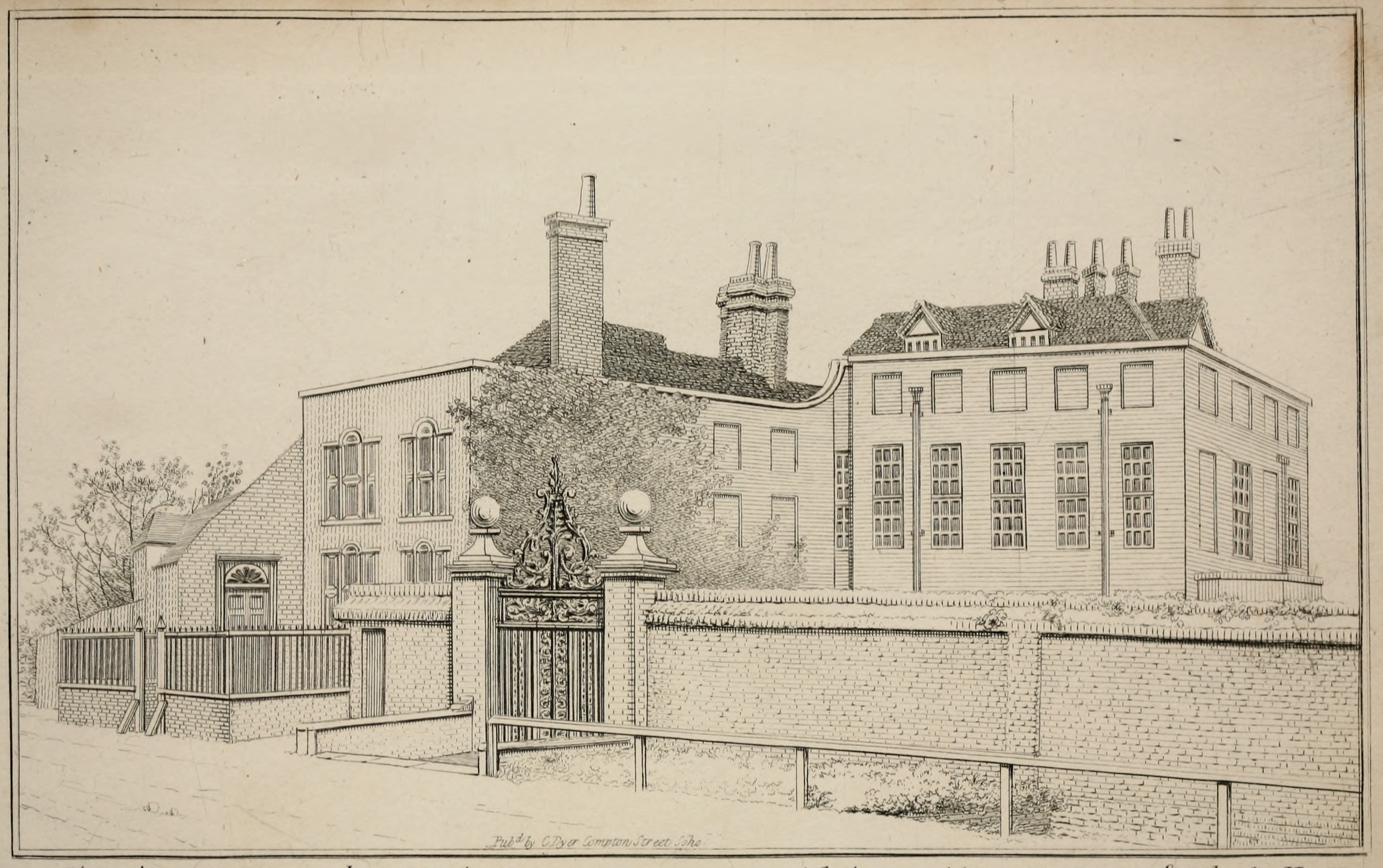
Musaeum Tradescantianum
The Musaeum Tradescantianum was the first museum open to the public to be established in England. Located in South Lambeth, London, it comprised a collection...

Stockwell (ward)
Stockwell was an administrative ward of the London Borough of Lambeth, England from 1965 to 2022. It contained much of the area known as Stockwell. Stockwell...
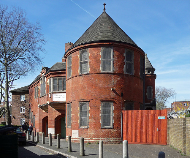
Wheatsheaf Hall
The Wheatsheaf Hall is a former Congregational Church mission hall in Vauxhall, south London. It is a grade II listed building.The earliest reference of...
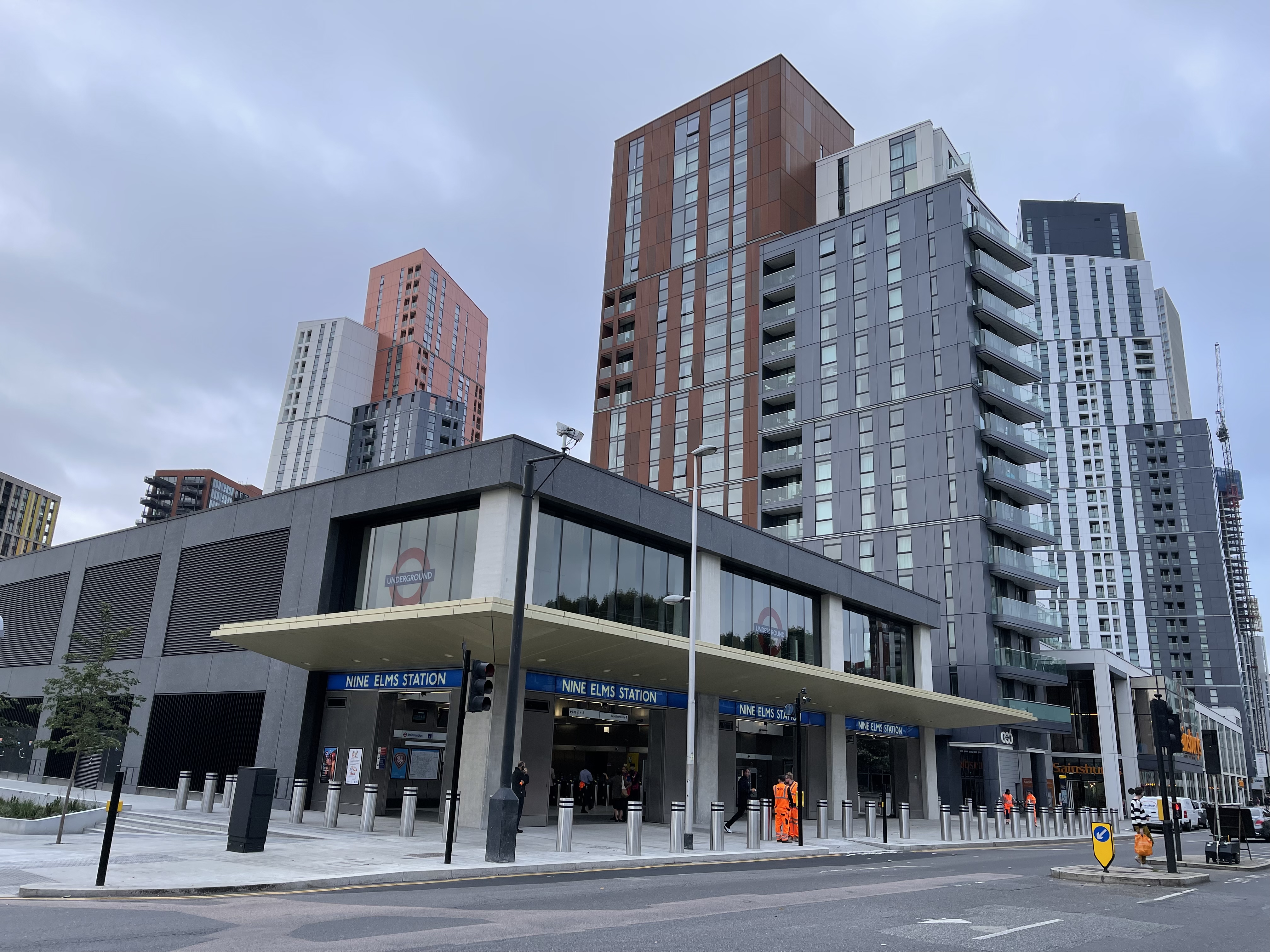
Nine Elms tube station
Nine Elms is a London Underground station in Nine Elms, London. The station opened on 20 September 2021, as part of the Northern line extension to Battersea...
Kennington
Kennington is a district in south London, England. It is mainly within the London Borough of Lambeth, running along the boundary with the London Borough...
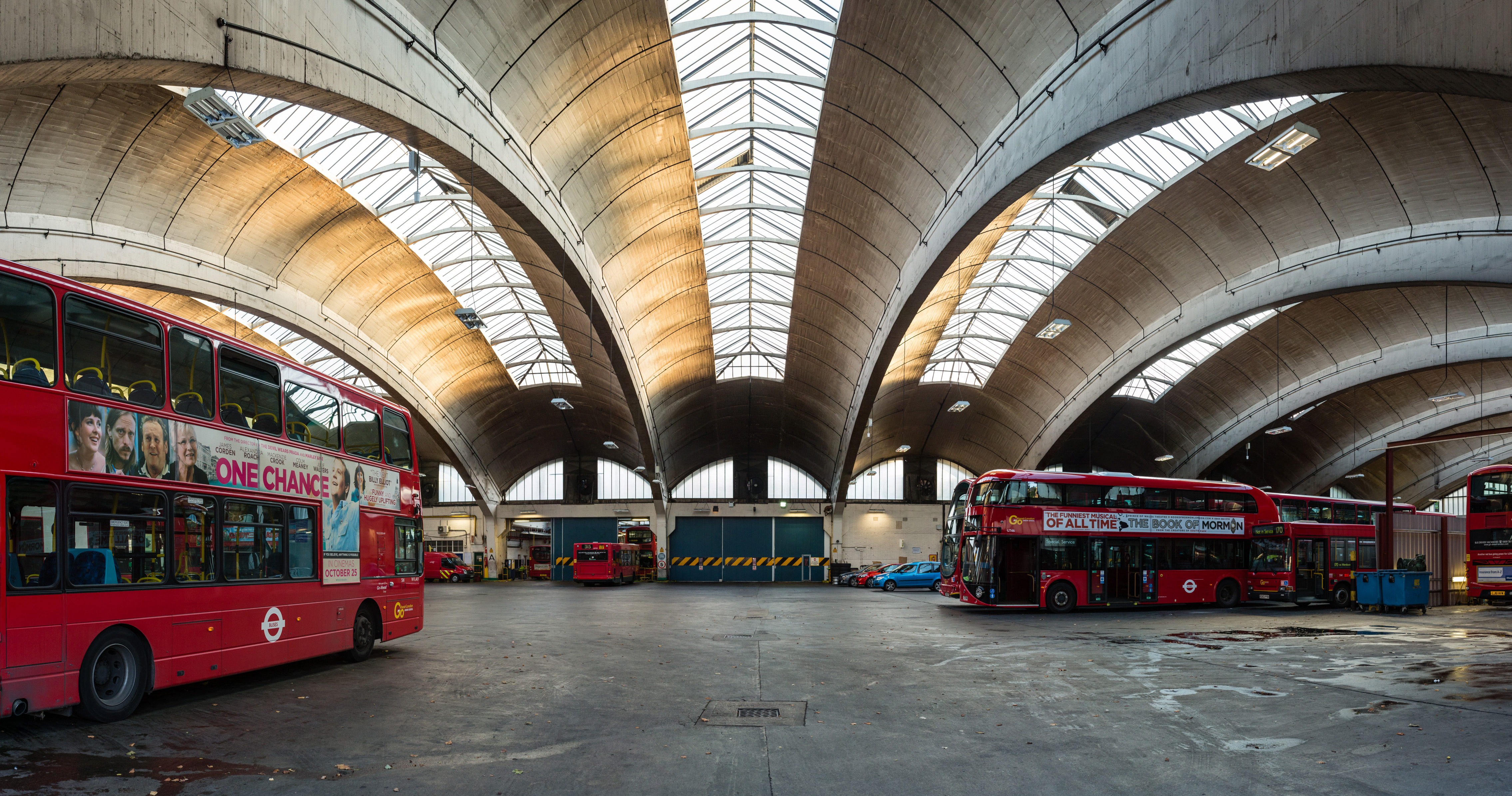
Stockwell Garage
Stockwell Garage is a large bus garage in Stockwell, in the London Borough of Lambeth, which opened in April 1952. At the time of construction it was Europe...
Little Portugal, London
Little Portugal is the nickname for the large Portuguese community in the South Lambeth area in South London, which is between Vauxhall, Stockwell and...
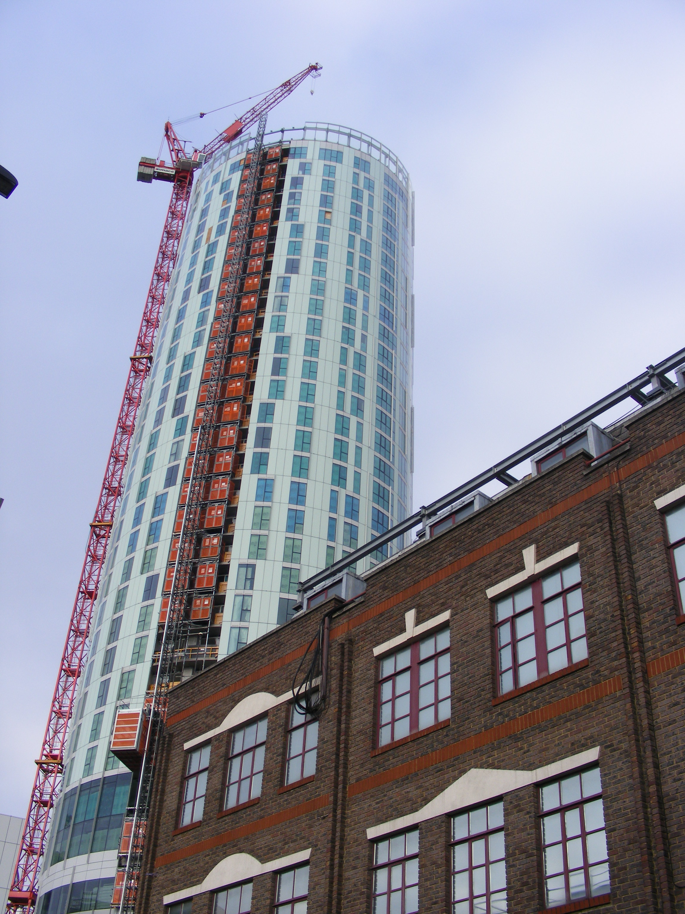
Sky Gardens Nine Elms
Sky Gardens Nine Elms is a residential and retail tower in Nine Elms, within the borough of Lambeth, London. The scheme has been designed by architects...
Nearby Amenities
Located within 500m of 51.477795,-0.124364Have you been to Lambeth, South?
Leave your review of Lambeth, South below (or comments, questions and feedback).