South Green

Settlement in Essex Basildon

England

South Green

Sports field, White's Bridge
Sports field, White's Bridge Credit: JThomas

South Green is a small village located in the county of Essex, England. Situated approximately 30 miles east of London, it is part of the civil parish of Great Burstead and South Green. The village is surrounded by picturesque countryside, offering a tranquil and idyllic setting.

South Green is a close-knit community with a population of around 1,000 residents. The village is primarily residential, with a mix of traditional and modern houses, ranging from charming cottages to spacious family homes. The architecture reflects the village's history, with some buildings dating back to the 17th century.

Despite its small size, South Green boasts a number of amenities that cater to the needs of its residents. These include a local convenience store, a primary school, a village hall, and a recreation ground. The village also has a pub, providing a social hub for locals and visitors alike.

Nature enthusiasts can take advantage of the village's proximity to surrounding green spaces, such as the nearby Hanningfield Reservoir and Norsey Wood. These areas offer opportunities for leisurely walks, birdwatching, and other outdoor activities.

South Green benefits from excellent transport links, with easy access to major road networks including the A127 and M25. The village is served by regular bus services, connecting residents to nearby towns and cities.

Overall, South Green offers a charming rural lifestyle while still providing convenient access to urban amenities. Its strong sense of community and natural beauty make it an attractive place to live for those seeking a peaceful and picturesque setting.

If you have any feedback on the listing, please let us know in the comments section below.
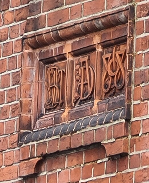
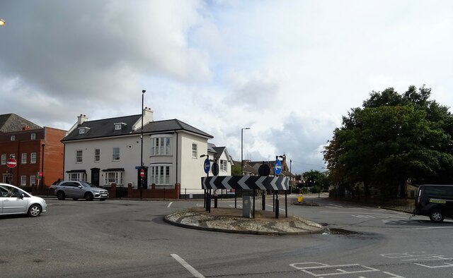
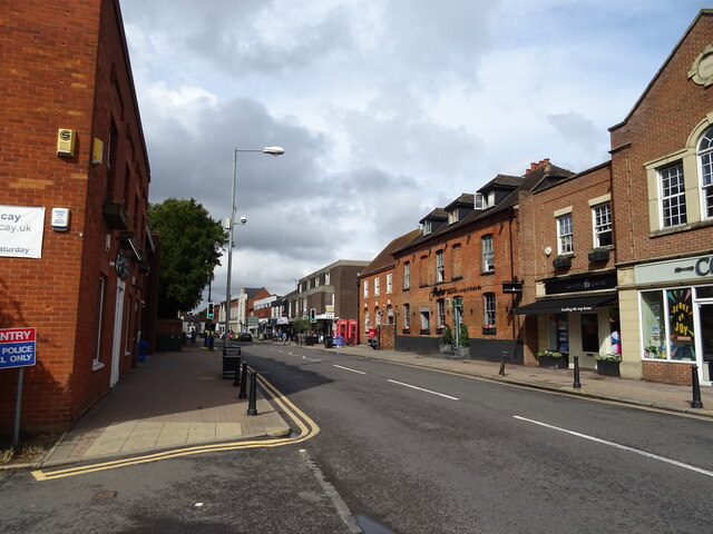
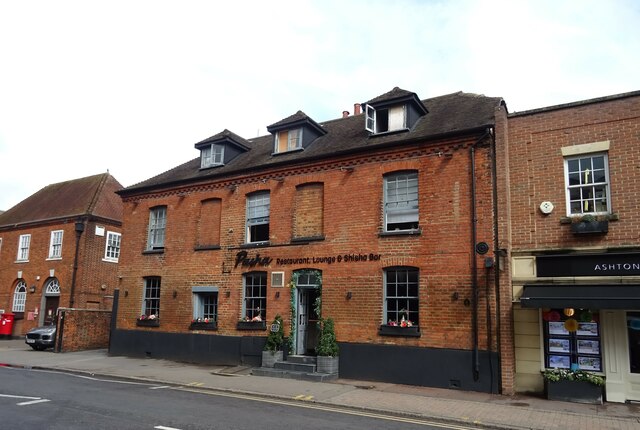
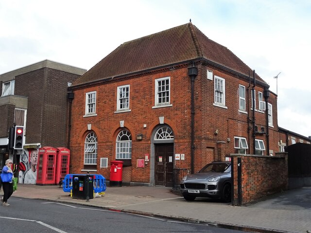
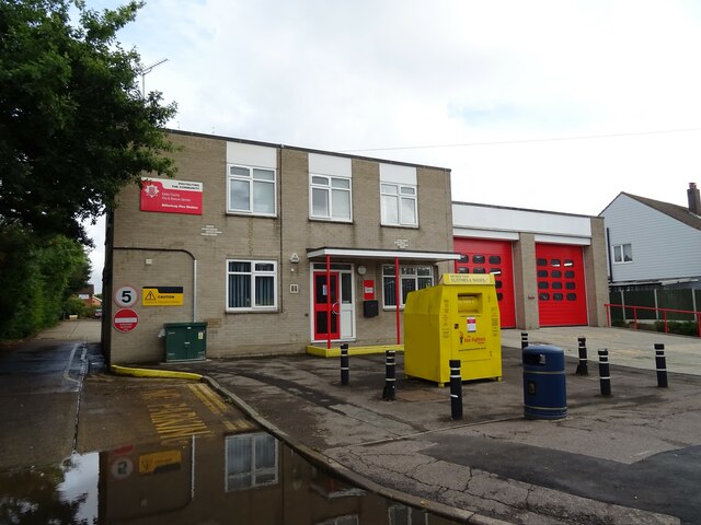
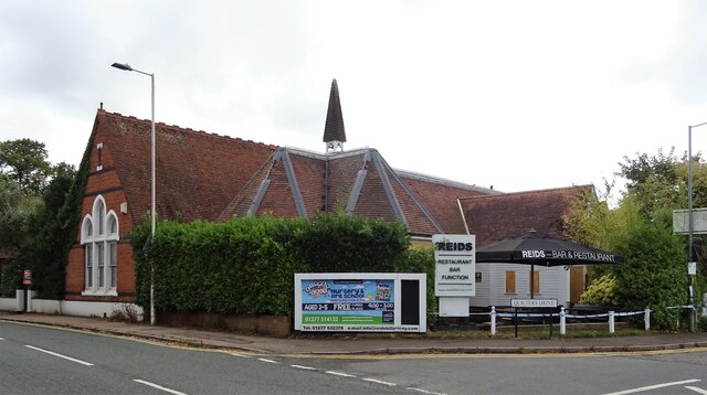
South Green Images

Images are sourced within 2km of 51.611849/0.430902 or Grid Reference TQ6893. Thanks to Geograph Open Source API. All images are credited.

Sports field, White's Bridge
Lloyds Bank, Billericay Opened in 1953, the date of 1898(?) on the side wall must relate to the original owners of these premises, see <a title="https://www.geograph.org.uk/photo/6931516" href="https://www.geograph.org.uk/photo/6931516">Link</a>
Lloyds Bank, Billericay
Opened in 1953, the date of 1898(?) on the side wall must relate to the original owners of these premises, see Link
Elaborate inscription on Lloyds Bank, Billericay branch The bank, see <a title="https://www.geograph.org.uk/photo/6931515" href="https://www.geograph.org.uk/photo/6931515">Link</a> , wasn't opened until 1953 so 1898(?) must relate to a previous owner.
Elaborate inscription on Lloyds Bank, Billericay branch
The bank, see Link , wasn't opened until 1953 so 1898(?) must relate to a previous owner.
Roundabout on the A129, Billericay
Businesses on High Street, Billericay
High Street (B1007), Billericay
Pasha Lounge & Shisha, High Street, Billericay
Double aperture Elizabeth II postbox on High Street, Billericay Postbox No. CM12 2 and Postbox No. CM12 222.
See <a href="https://www.geograph.org.uk/photo/7275520">TQ6794 : Royal Mail delivery Office on High Street, Billericay</a> for context.
Double aperture Elizabeth II postbox on High Street, Billericay
Postbox No. CM12 2 and Postbox No. CM12 222. See TQ6794 : Royal Mail delivery Office on High Street, Billericay for context.
Royal Mail delivery Office on High Street, Billericay Showing position of Postbox No. CM12 2 and Postbox No. CM12 222.
See <a href="https://www.geograph.org.uk/photo/7275519">TQ6794 : Double aperture Elizabeth II postbox on High Street, Billericay</a> for postbox.
Royal Mail delivery Office on High Street, Billericay
Showing position of Postbox No. CM12 2 and Postbox No. CM12 222. See TQ6794 : Double aperture Elizabeth II postbox on High Street, Billericay for postbox.
Police Station on High Street, Billericay
Billericay Fire Station On Laindon Road.
Billericay Fire Station
On Laindon Road.
2nd Billericay Scout Group Hall On Laindon Road.
2nd Billericay Scout Group Hall
On Laindon Road.
Reids Bar & Restaurant, Billericay On Laindon Road.
Reids Bar & Restaurant, Billericay
On Laindon Road.
Laindon Road (A176)
Laindon Road (A176)
Stubble field off Southend Road
Southend Road (A129)
High Street, Billericay
Footpath to Gurnard's Farm The farm road to <a href="https://www.geograph.org.uk/photo/3053332">TQ6992 : Gunard's Farm</a> is footpath 37
Footpath to Gurnard's Farm
The farm road to TQ6992 : Gunard's Farm is footpath 37
Show me another place!

South Green is located at Grid Ref: TQ6893 (Lat: 51.611849, Lng: 0.430902)

Administrative County: Essex

District: Basildon

Police Authority: Essex

What 3 Words

///composers.fuel.exam. Near Billericay, Essex

Nearby Locations

Green, South South Green

Related Wikis

Burstead Grange

Burstead Grange was a priory in Essex, England. == References ==

Great Burstead and South Green

Great Burstead and South Green is a civil parish in the Basildon district, in the county of Essex, England. The parish includes the settlements of Great...

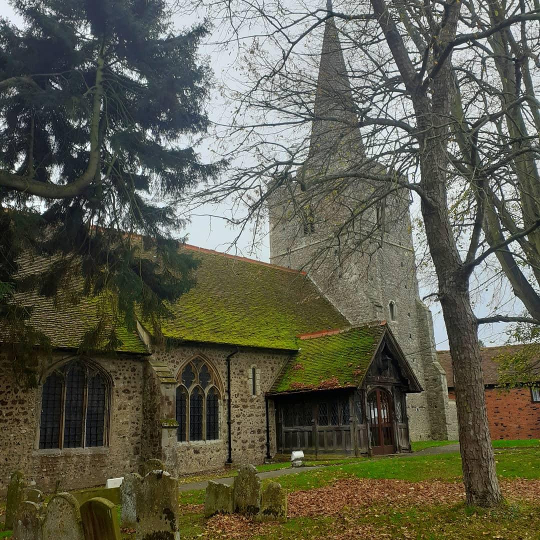
St Mary Magdalene, Great Burstead

St Mary Magdalene is a Grade I-listed parish church in the village of Great Burstead, about 1.5 mi (2.4 km) south of Billericay, Essex, England. The present...

The Billericay School

The Billericay School is an academy secondary school and sixth form college located in Billericay, England. The school is led by headmaster Patrick Berry...

Nearby Amenities

Located within 500m of 51.611849,0.430902
South Green
Created By: Potlatch alpha
Is In: Billericay, Essex, England, UK
Place: suburb
Source: knowledge
Lat/Long: 51.6150046/0.4303753
Great Burstead
Created By: Potlatch alpha
Is In: Billericay, Essex, England, UK
Place: village
Wikidata: Q2614059
Lat/Long: 51.6096747/0.4339802
Bus Stop
Duke Of York
Naptan AtcoCode: 150007002018
Naptan Bearing: SE
Naptan CommonName: Duke Of York
Naptan Crossing: Burstead Drive
Naptan Indicator: Opp
Naptan Landmark: Duke Of York
Naptan NaptanCode: esxajgag
Naptan PlusbusZoneRef: BILERCY
Naptan Street: Southend Road
Naptan Verified: no
Public Transport: platform
Source: naptan_import
Lat/Long: 51.6126561/0.4352221
Bus Stop
Duke Of York
Bench: no
Bin: no
Lit: no
Naptan AtcoCode: 150007002019
Naptan Bearing: W
Naptan CommonName: Duke Of York
Naptan Crossing: Grange Road
Naptan Indicator: o/s
Naptan Landmark: Duke Of York
Naptan NaptanCode: esxagwma
Naptan PlusbusZoneRef: BILERCY
Naptan Street: Southend Road
Naptan Verified: no
Public Transport: platform
Shelter: no
Source: naptan_import
Tactile Paving: no
Lat/Long: 51.6134691/0.4332625
Bus Stop
Grange Parade
Naptan AtcoCode: 1500IM195
Naptan Bearing: E
Naptan CommonName: Grange Parade
Naptan Crossing: Grange Road
Naptan Indicator: Opp
Naptan Landmark: Grange Parade
Naptan NaptanCode: esxagwmd
Naptan PlusbusZoneRef: BILERCY
Naptan Street: Southend Road
Naptan Verified: no
Public Transport: platform
Source: naptan_import
Lat/Long: 51.6140915/0.4303093
Bus Stop
Grange Parade
Bench: no
Bin: no
Lit: no
Naptan AtcoCode: 1500IM195B
Naptan Bearing: NW
Naptan CommonName: Grange Parade
Naptan Crossing: Hickstars Lane
Naptan Indicator: Adj
Naptan Landmark: Grange Parade
Naptan NaptanCode: esxagwmg
Naptan PlusbusZoneRef: BILERCY
Naptan Street: Southend Road
Naptan Verified: no
Public Transport: platform
Shelter: yes
Source: naptan_import
Tactile Paving: no
Lat/Long: 51.6141753/0.4295503
Bus Stop
Paddock Close
Naptan AtcoCode: 1500IM2376
Naptan Bearing: NE
Naptan CommonName: Paddock Close
Naptan Crossing: Southend Road
Naptan Indicator: Adj
Naptan Landmark: Paddock Close
Naptan NaptanCode: esxagwpw
Naptan PlusbusZoneRef: BILERCY
Naptan Street: Outwood Common Road
Naptan Verified: no
Public Transport: platform
Source: naptan_import
Lat/Long: 51.6143308/0.4313442
Bus Stop
Paddock Close
Naptan AtcoCode: 1500IM2376B
Naptan Bearing: SW
Naptan CommonName: Paddock Close
Naptan Crossing: Southend Road
Naptan Indicator: Opp
Naptan Landmark: Paddock Close
Naptan NaptanCode: esxagwta
Naptan PlusbusZoneRef: BILERCY
Naptan Street: Outwood Common Road
Naptan Verified: no
Public Transport: platform
Source: naptan_import
Lat/Long: 51.6144255/0.4316777
Ganels Road
Naptan AtcoCode: 1500STHGRN2
Naptan Bearing: SW
Naptan BusStopType: CUS
Naptan CommonName: Ganels Road
Naptan Crossing: Ganels Road
Naptan Indicator: Adj
Naptan Landmark: Ganels Road
Naptan NaptanCode: esxgmpaj
Naptan PlusbusZoneRef: BILERCY
Naptan Street: Hickstars Lane
Naptan Verified: no
Source: naptan_import
Lat/Long: 51.6134358/0.4273724
Ganels Road
Naptan AtcoCode: 1500STHGRN2Y
Naptan Bearing: NE
Naptan BusStopType: CUS
Naptan CommonName: Ganels Road
Naptan Crossing: Ganels Road
Naptan Indicator: Opp
Naptan Landmark: Ganels Road
Naptan NaptanCode: esxjdmga
Naptan PlusbusZoneRef: BILERCY
Naptan Street: Hickstars Lane
Naptan Verified: no
Source: naptan_import
Lat/Long: 51.6140052/0.4278404
Crossing
Crossing: uncontrolled
Crossing Ref: zebra
Lat/Long: 51.6141901/0.4287858
Crossing
Crossing: uncontrolled
Crossing Island: no
Crossing Ref: zebra
Tactile Paving: yes
Lat/Long: 51.6145096/0.4289829
Speed Camera
Lat/Long: 51.6155112/0.4279701
Crossing
Crossing: uncontrolled
Crossing Ref: zebra
Lat/Long: 51.6137602/0.4305094
Crossing
Crossing: traffic_signals
Crossing Ref: pelican
Lat/Long: 51.613868/0.43131
Tesco Express
Addr Housename: Grange Parade
Addr Postcode: CM11 2RF
Addr Street: Grange Road
Addr Unit: 1-2
Brand: Tesco Express
Brand Wikidata: Q98456772
Contact Website: https://www.tesco.com/store-locator/essex/grange-parade
Fhrs Id: 1263524
Shop: convenience
Lat/Long: 51.6133191/0.4306072
Entrance: main
Lat/Long: 51.6125271/0.435008
The data included in this document is from www.openstreetmap.org. The data is made available under ODbL.

Have you been to South Green?

Leave your review of South Green below (or comments, questions and feedback).