South Green

Settlement in Norfolk Breckland

England

South Green

Direction Sign – Signpost on Dereham Road, Mattishall Located on the northwest side of the crossroads of Dereham Road, Norwich Road, Burgh Lane and Church Plain in Mattishall parish. 3 arms and missing annulus finial. 

Milestone Society National ID: NO_TG0511
Direction Sign – Signpost on Dereham Road, Mattishall Credit: A Hogg

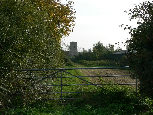
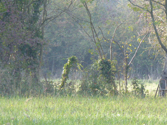
South Green is a small village located in the county of Norfolk, England. Situated approximately 12 miles west of the city of Norwich, it is part of the South Norfolk district. The village is nestled in a rural setting, surrounded by picturesque countryside and farmland.

South Green is a close-knit community with a population of around 500 residents. The village is known for its peaceful and idyllic atmosphere, making it a popular choice for those looking to escape the hustle and bustle of city life.

The village features a charming village green, a central focal point for community events and gatherings. It is a place where locals often come together for recreational activities such as picnics and sports. The green is surrounded by traditional thatched cottages, which add to the village's quaint and traditional charm.

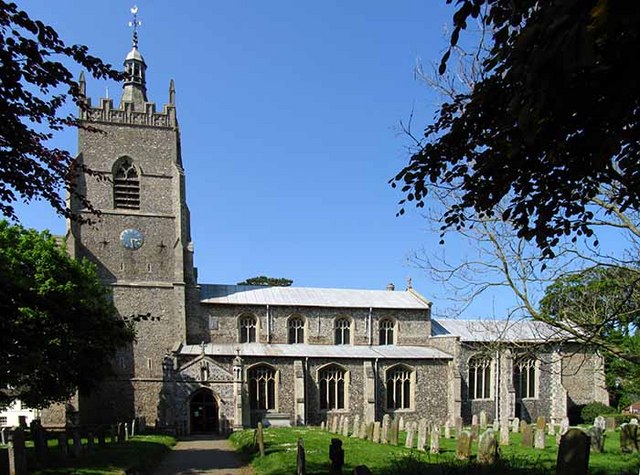
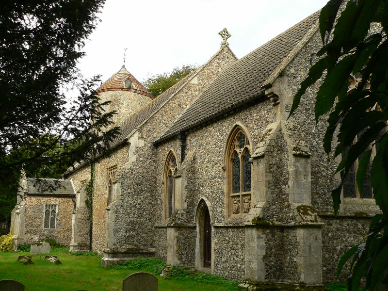
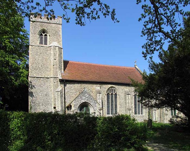
South Green is home to St. Margaret's Church, a beautiful medieval church dating back to the 14th century. The church is a significant historical landmark and serves as an important place of worship for the villagers.

While South Green lacks major amenities, it benefits from its proximity to nearby towns and cities, such as Norwich and Diss, where residents can find a wider range of services and facilities. The village is well-connected to these urban areas by road, making commuting and access to amenities relatively convenient.

In conclusion, South Green is a peaceful and picturesque village in Norfolk, offering a tranquil countryside lifestyle. Its close-knit community and beautiful surroundings make it an attractive place to live for those seeking a slower pace of life.

If you have any feedback on the listing, please let us know in the comments section below.
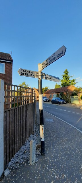
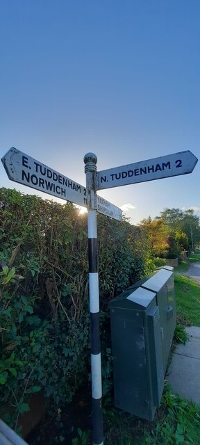
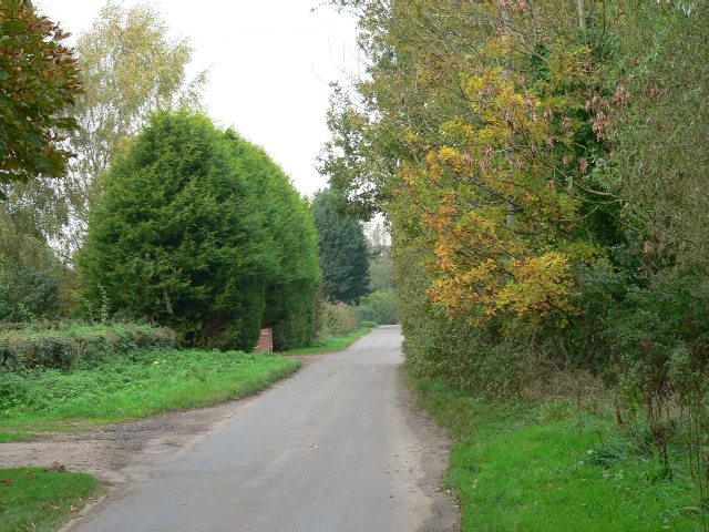
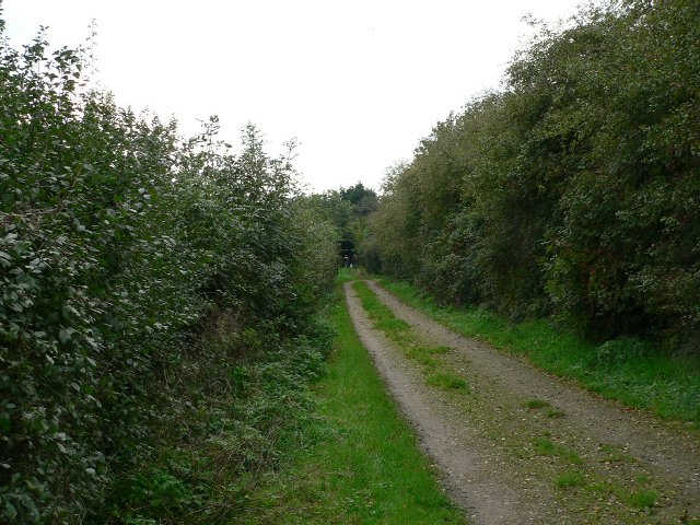
South Green Images

Images are sourced within 2km of 52.651877/1.037384 or Grid Reference TG0510. Thanks to Geograph Open Source API. All images are credited.

Direction Sign – Signpost on Dereham Road, Mattishall Located on the northwest side of the crossroads of Dereham Road, Norwich Road, Burgh Lane and Church Plain in Mattishall parish. 3 arms and missing annulus finial. 

Milestone Society National ID: NO_TG0511
Direction Sign – Signpost on Dereham Road, Mattishall
Located on the northwest side of the crossroads of Dereham Road, Norwich Road, Burgh Lane and Church Plain in Mattishall parish. 3 arms and missing annulus finial. Milestone Society National ID: NO_TG0511
Direction Sign – Signpost on Dereham Road, Mattishall Located on the south side of the junction of Dereham Road and Mill Road in Mattishall parish. 3 arms and ball finial. A replacement at some time after 2012 for a fingerpost with a wooden post and arms which can be seen on Street View.

Milestone Society National ID: NO_TG0411
Direction Sign – Signpost on Dereham Road, Mattishall
Located on the south side of the junction of Dereham Road and Mill Road in Mattishall parish. 3 arms and ball finial. A replacement at some time after 2012 for a fingerpost with a wooden post and arms which can be seen on Street View. Milestone Society National ID: NO_TG0411
Bales of straw by Stone Lane, Brandon Parva
Field by Stone Lane, Brandon Parva
Vincents Road at the junction of Burnthouse Lane
The Road To Whitford Bridge From Mattishall.
The Road To Whitford Bridge
From Mattishall.
Crossing Norwich Road From Church Lane into Blind Lane.
Crossing Norwich Road
From Church Lane into Blind Lane.
The Hungry Horse In a field alongside Church Lane, Welborne.
The Hungry Horse
In a field alongside Church Lane, Welborne.
Mill Road, Mattishall Looking towards Clippings Farm.
Mill Road, Mattishall
Looking towards Clippings Farm.
A Track Between Two Hedges The Public Footpath from Thynne's Lane to Old Hall Road.
A Track Between Two Hedges
The Public Footpath from Thynne's Lane to Old Hall Road.
To Church On Foot A Public Footpath off Burgh Lane, Mattishall Burgh.
To Church On Foot
A Public Footpath off Burgh Lane, Mattishall Burgh.
Mattishall Sports And Social Club The building is also a Memorial Hall, at South Green, Mattishall.
Mattishall Sports And Social Club
The building is also a Memorial Hall, at South Green, Mattishall.
Entering Mattishall From Welborne Common.
Entering Mattishall
From Welborne Common.
Awaiting The Plough A cropped field between East Tuddenham and Mattishall.
Awaiting The Plough
A cropped field between East Tuddenham and Mattishall.
The Road To Mattishall From East Tuddenham.
The Road To Mattishall
From East Tuddenham.
The Road To Welborne From Whitford Bridge.
The Road To Welborne
From Whitford Bridge.
"Mon Yana" A bungalow for sale between Welborne and Whitford Bridge.
"Mon Yana"
A bungalow for sale between Welborne and Whitford Bridge.
On Burgh Lane Barns on the Northern outskirts of Mattishall.
On Burgh Lane
Barns on the Northern outskirts of Mattishall.
Show me another place!

South Green is located at Grid Ref: TG0510 (Lat: 52.651877, Lng: 1.037384)

Administrative County: Norfolk

District: Breckland

Police Authority: Norfolk

What 3 Words

///reprints.unfair.convey. Near Mattishall, Norfolk

Nearby Locations

Green, South South Green

Related Wikis

Mattishall

Mattishall is a village and civil parish in the English county of Norfolk. It is situated 13 miles (21 km) west of Norwich and 4 miles (6.4 km) east of...

Welborne

Welborne is a village and former civil parish, now in the parish of Brandon Parva, Coston, Runhall and Welborne, in the South Norfolk district, in the...

RAF Mattishall

RAF Mattishall is a former Royal Flying Corps landing ground located 1 mile (1.6 km) east of Mattishall, Norfolk and 10.2 miles (16.4 km) north west of...

Rosie Curston's Meadow, Mattishall

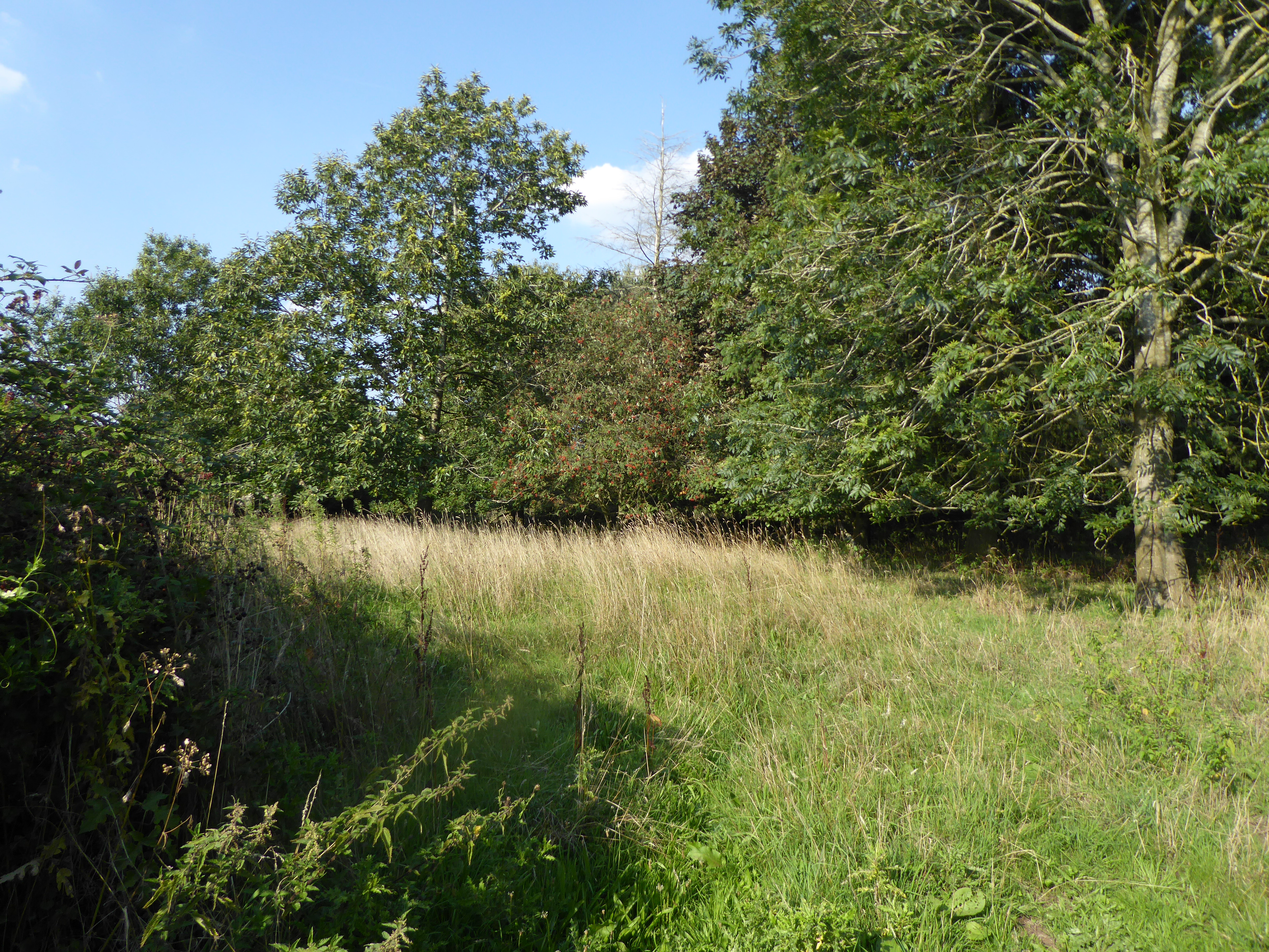
Rosie Curston's Meadow is a 2.3-hectare (5.7-acre) biological Site of Special Scientific Interest in Mattishall in Norfolk.This unimproved calcareous clay...

List of Sites of Special Scientific Interest in Norfolk

In England, Sites of Special Scientific Interest (SSSIs) are designated by Natural England, which is responsible for protecting England's natural environment...

List of local nature reserves in Norfolk

Norfolk is a county in East Anglia. It has an area of 2,074 square miles (5,370 square kilometres) and a population as of mid-2017 of 898,400. The top...

Brandon Parva

Brandon Parva is a village and former civil parish, now in the parish of Brandon Parva, Coston, Runhall and Welborne, in the South Norfolk district, in...

Mattishall Moor

Mattishall Moor is a 5.5-hectare (14-acre) biological Site of Special Scientific Interest east of Dereham in Norfolk.This area of calcareous fen and marshy...

Nearby Amenities

Located within 500m of 52.651877,1.037384
South Green
Place: village
Lat/Long: 52.6535064/1.0370689
Barrier: stile
Bicycle: no
Foot: yes
Material: wood
Stile: stepover
Lat/Long: 52.6560727/1.0374406
Post Box
Collection Times: Mo-Fr 09:00; Sa 07:00
Operator: Royal Mail
Operator Wikidata: Q638098
Post Box Mounting: brick_pillar
Post Box Type: wall
Ref: NR20 2014D
Royal Cypher: VR
Royal Cypher Wikidata: Q33102356
Lat/Long: 52.6533974/1.0371765
Crossing
Crossing: unmarked
Lat/Long: 52.6553551/1.0349173
Crossing
Crossing: unmarked
Lat/Long: 52.6557902/1.0351846
The data included in this document is from www.openstreetmap.org. The data is made available under ODbL.

Have you been to South Green?

Leave your review of South Green below (or comments, questions and feedback).