South Gosforth
Settlement in Northumberland
England
South Gosforth

South Gosforth is a small suburban area located in the county of Northumberland, England. Situated approximately three miles north of the city center of Newcastle upon Tyne, it is a popular residential neighborhood known for its peaceful atmosphere and excellent transport links.
The area is characterized by a mix of residential properties, ranging from Victorian terraced houses to modern apartment complexes. The streets are lined with well-maintained gardens, and there are several green spaces and parks scattered throughout the neighborhood, providing ample recreational opportunities for residents.
South Gosforth benefits from its close proximity to the city center, making it an ideal location for commuters. The South Gosforth Metro station provides quick and convenient access to Newcastle and other neighboring towns. Additionally, the area is well-served by bus routes, with regular services connecting it to various parts of the region.
Residents of South Gosforth enjoy a range of amenities, including local shops, supermarkets, and restaurants. There is also a small retail park nearby, offering a wider selection of stores and services. The neighborhood is home to several schools, making it a popular choice for families with children.
For those seeking leisure activities, South Gosforth offers easy access to nearby attractions such as Jesmond Dene, a picturesque park with a river and walking trails. The area also boasts a number of sports facilities, including a leisure center and a golf course.
Overall, South Gosforth is a desirable residential area, offering a peaceful suburban lifestyle with excellent transport links and a range of amenities.
If you have any feedback on the listing, please let us know in the comments section below.
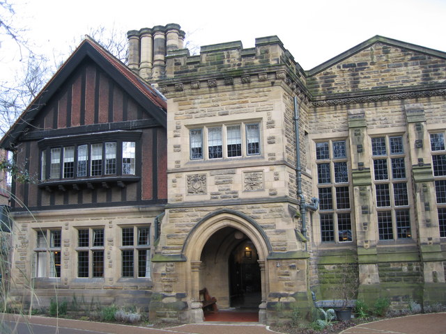
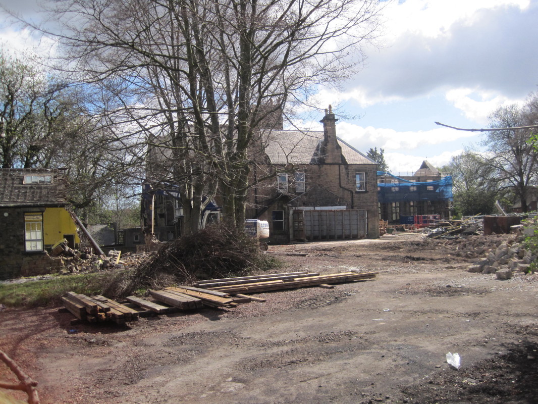
South Gosforth Images
Images are sourced within 2km of 55.005949/-1.605966 or Grid Reference NZ2568. Thanks to Geograph Open Source API. All images are credited.


![Pigg family memorial, St Nicholas churchyard, Gosforth The unusual wording caught my eye: &#039;The burial place of James Pigg of Bulman Village&#039;. The full text is transcribed in his entry on findagrave.com <span class="nowrap"><a title="https://www.findagrave.com/memorial/159092845/james-pigg" rel="nofollow ugc noopener" href="https://www.findagrave.com/memorial/159092845/james-pigg">Link</a><img style="margin-left:2px;" alt="External link" title="External link - shift click to open in new window" src="https://s1.geograph.org.uk/img/external.png" width="10" height="10"/></span>
Bulman Village was the previous name of Gosforth, after Job Bulman (after whom the town&#039;s Wetherspoon pub is now named) built Coxlodge Hall in 1796, after making his fortune in India. [Source: <span class="nowrap"><a title="https://www.curiousfox.com/vill100/NorthumberlandSmallerVillages_2.html" rel="nofollow ugc noopener" href="https://www.curiousfox.com/vill100/NorthumberlandSmallerVillages_2.html">Link</a><img style="margin-left:2px;" alt="External link" title="External link - shift click to open in new window" src="https://s1.geograph.org.uk/img/external.png" width="10" height="10"/></span> ]](https://s3.geograph.org.uk/geophotos/07/04/18/7041879_4547a474.jpg)

South Gosforth is located at Grid Ref: NZ2568 (Lat: 55.005949, Lng: -1.605966)
Unitary Authority: Newcastle upon Tyne
Police Authority: Northumbria
What 3 Words
///plant.warm.twins. Near Gosforth, Tyne & Wear
Nearby Locations
Related Wikis
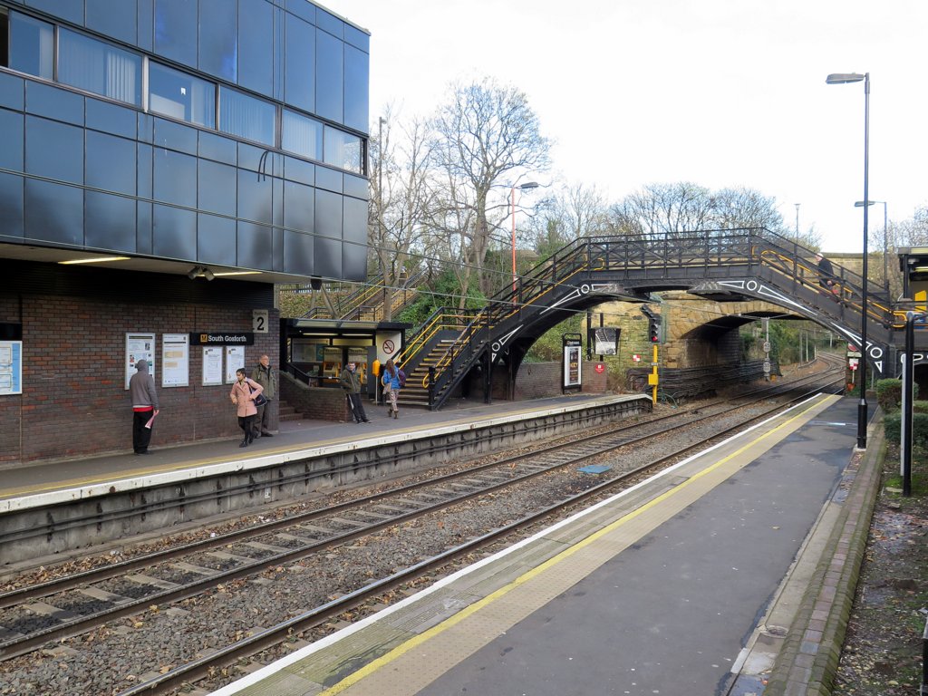
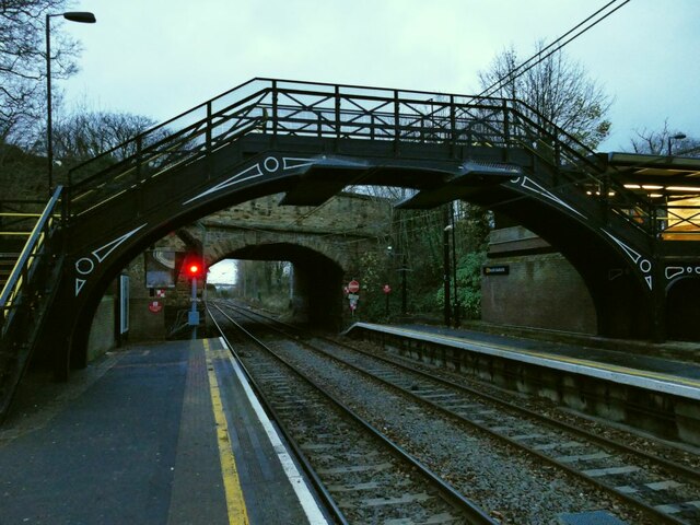
South Gosforth Metro station
South Gosforth is a Tyne and Wear Metro station, serving the suburb of Gosforth, Newcastle upon Tyne in Tyne and Wear, England. It joined the network on...
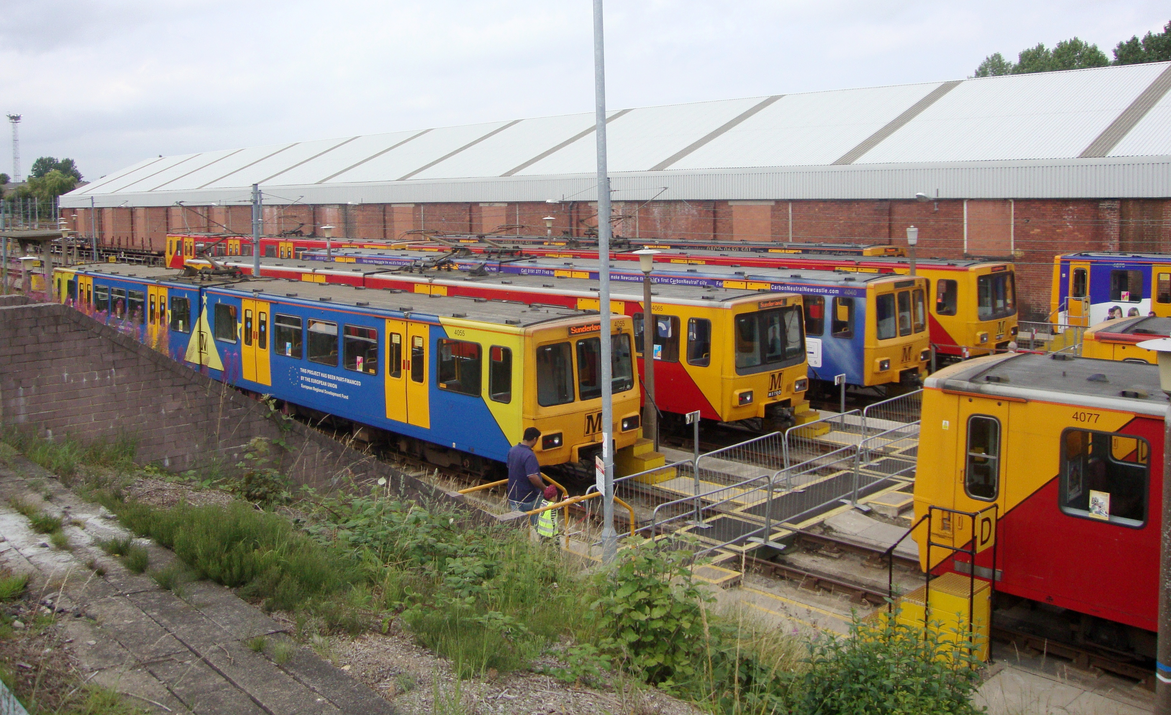
South Gosforth TMD
South Gosforth Traction Maintenance Depot is a vehicle cleaning, maintenance and stabling facility used by the Tyne and Wear Metro. It was originally constructed...

Newcastle upon Tyne Central (UK Parliament constituency)
Newcastle upon Tyne Central is a constituency represented in the House of Commons of the UK Parliament since 2010 by Chi Onwurah of the Labour Party. As...
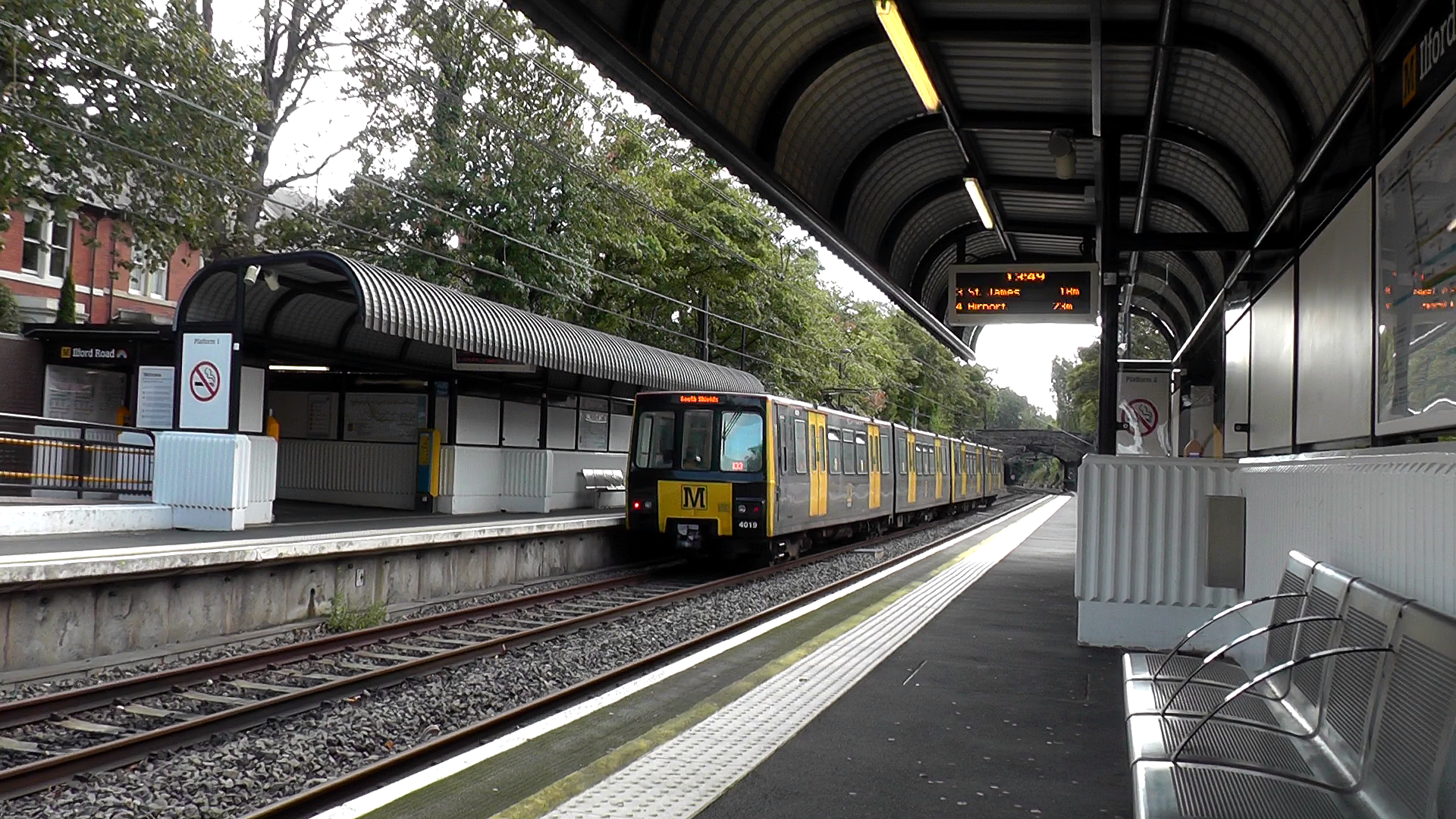
Ilford Road Metro station
Ilford Road is a Tyne and Wear Metro station, primarily serving the suburb of Gosforth, Newcastle upon Tyne, England. It joined the network on 11 August...

Gosforth Central Park
Gosforth Central Park is a small public park in Gosforth, north of Newcastle City Centre, Tyne and Wear, England. == History == The park was opened by...
Jesmond Dene House
Jesmond Dene House is a 19th-century mansion house at Jesmond Dene, Newcastle upon Tyne, England which is now a hotel. It is a Grade II listed building...
St Mary's Catholic School, Newcastle upon Tyne
St Mary's Catholic School (formerly St Mary's Catholic Comprehensive School) is an English secondary school in Longbenton, Newcastle, England. In September...
La Sagesse School
La Sagesse School was a 3–18, Roman Catholic, private school for girls in Jesmond, Newcastle upon Tyne, Tyne and Wear, England. It was established in 1906...
Nearby Amenities
Located within 500m of 55.005949,-1.605966Have you been to South Gosforth?
Leave your review of South Gosforth below (or comments, questions and feedback).