South Feorline

Settlement in Buteshire

Scotland

South Feorline

Unmade road to the south of Blackwaterfoot Eilean Mòr is to the right. Some very desirable properties along this road, given their outlook across the sea.
Unmade road to the south of Blackwaterfoot Credit: John Lucas

South Feorline is a small coastal village located in the Buteshire region of Scotland. Situated on the southern coast of the Isle of Bute, it is known for its picturesque landscapes and tranquil surroundings. The village is part of the larger community of Rothesay, which is the principal town on the island.

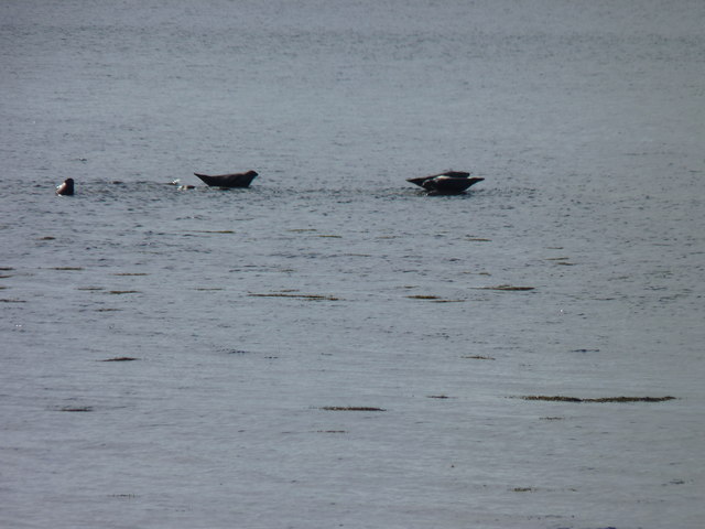
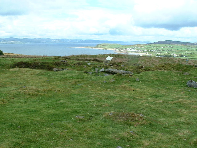
South Feorline offers a charming and idyllic setting, with its traditional stone-built houses and spectacular views of the sea and surrounding countryside. The village is surrounded by rolling hills and vast stretches of greenery, making it a popular destination for nature lovers and outdoor enthusiasts. Its close proximity to the coast also provides opportunities for various water activities such as fishing, sailing, and kayaking.

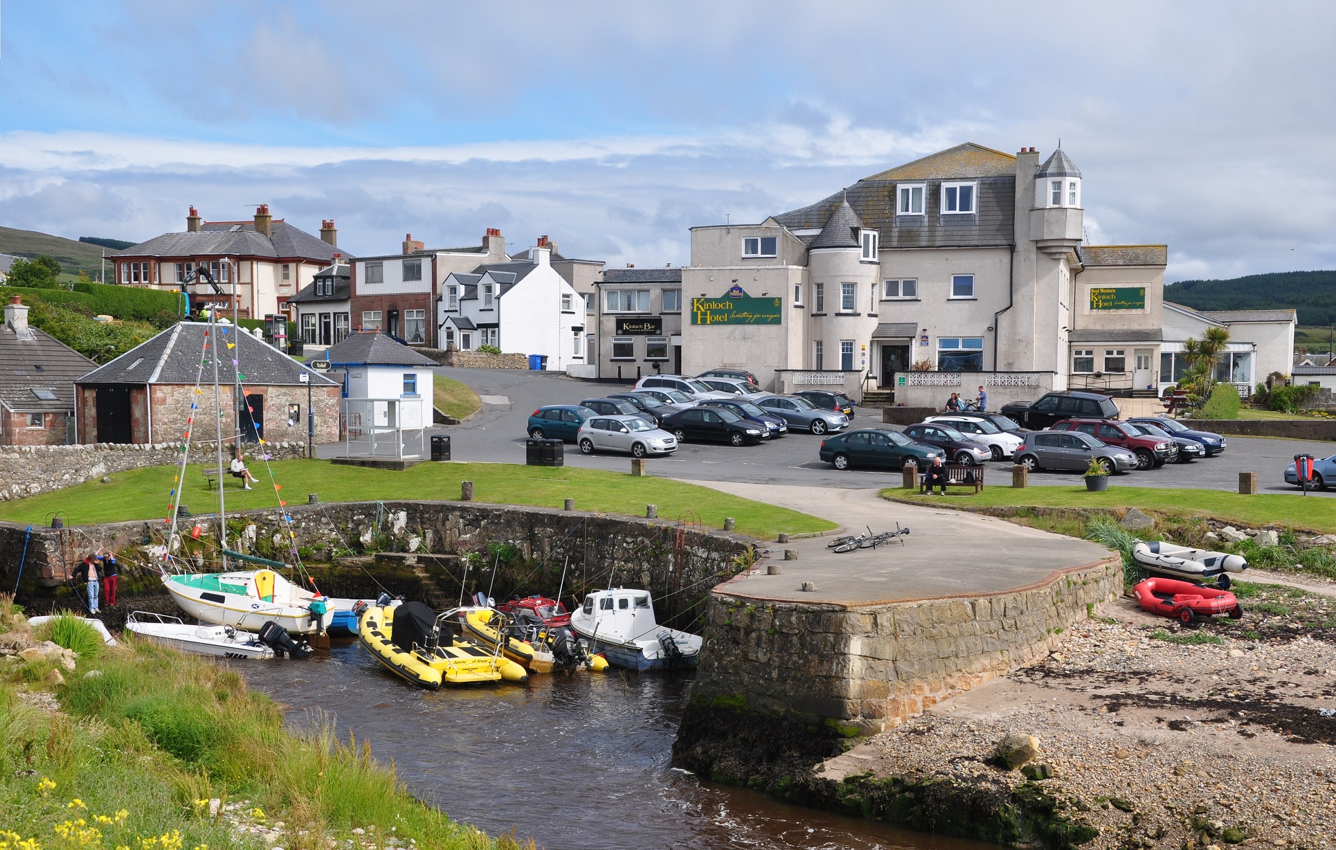
While South Feorline itself is relatively small, it benefits from being just a short drive away from Rothesay, where residents and visitors can find a wider range of amenities including shops, restaurants, and leisure facilities. Rothesay Castle, a medieval fortress, is also a notable attraction in the area, showcasing the rich history of the region.

South Feorline offers a peaceful and tight-knit community, where residents enjoy a slower pace of life. It is well-connected to other parts of the island and mainland Scotland via regular ferry services, making it an accessible and convenient location. Whether seeking a tranquil getaway or a place to call home, South Feorline provides a captivating and serene environment.

If you have any feedback on the listing, please let us know in the comments section below.

South Feorline Images

Images are sourced within 2km of 55.50109/-5.3235872 or Grid Reference NR9028. Thanks to Geograph Open Source API. All images are credited.

Unmade road to the south of Blackwaterfoot Eilean Mòr is to the right. Some very desirable properties along this road, given their outlook across the sea.
Unmade road to the south of Blackwaterfoot
Eilean Mòr is to the right. Some very desirable properties along this road, given their outlook across the sea.
Bus for Brodick at Blackwaterfoot The bus is operated by Stagecoach on behalf of Strathclyde Passenger Transport. It is operating the 323 route which runs to Brodick via the south of Arran.
Bus for Brodick at Blackwaterfoot
The bus is operated by Stagecoach on behalf of Strathclyde Passenger Transport. It is operating the 323 route which runs to Brodick via the south of Arran.
The Blackwaterfoot Hotel A large hotel which dominates the village.
The Blackwaterfoot Hotel
A large hotel which dominates the village.
View from Drumadoon Point Looking towards Blackwaterfoot.
View from Drumadoon Point
Looking towards Blackwaterfoot.
The Doon A prominent basalt sill northwest of Blackwaterfoot.
The Doon
A prominent basalt sill northwest of Blackwaterfoot.
Cliff face, The Doon A prominent basalt sill northwest of Blackwaterfoot.
Cliff face, The Doon
A prominent basalt sill northwest of Blackwaterfoot.
Blackwaterfoot on a wet and windy April lunchtime
Blackwaterfoot Bridge - Isle of Arran Blackwaterfoot Bridge & Harbour.
Blackwaterfoot Bridge - Isle of Arran
Blackwaterfoot Bridge & Harbour.
Torbeg Farm - Isle of Arran Torbeg Farm
Torbeg Farm - Isle of Arran
Torbeg Farm
Blackwaterfoot Harbour - Isle of Arran Blackwaterfoot Harbour
Blackwaterfoot Harbour - Isle of Arran
Blackwaterfoot Harbour
Blackwaterfoot Bridge, Blackwaterfoot, Arran Blackwaterfoot Bridge carries the circular road round Arran across the Black Water at the small harbour.
Blackwaterfoot Bridge, Blackwaterfoot, Arran
Blackwaterfoot Bridge carries the circular road round Arran across the Black Water at the small harbour.
Small Harbour, Blackwaterfoot, Arran The small village of Blackwaterfoot is the largest settlement on the west coast of Arran. Its small harbour is at the mouth of the Black Water. The photograph also shows a good view across the Kilbrannan Sound to the Kintyre Peninsula.
Small Harbour, Blackwaterfoot, Arran
The small village of Blackwaterfoot is the largest settlement on the west coast of Arran. Its small harbour is at the mouth of the Black Water. The photograph also shows a good view across the Kilbrannan Sound to the Kintyre Peninsula.
Blackwaterfoot Quay
Blackwaterfoot Quay
Beach to the south of Blackwaterfoot Looking towards Kilpatrick Point
Beach to the south of Blackwaterfoot
Looking towards Kilpatrick Point
The Black Water enters the sea at Blackwaterfoot A fisherman has just motored carefully in to this shallow entrance and is starting to retrieve his boat onto its trailer.
The Black Water enters the sea at Blackwaterfoot
A fisherman has just motored carefully in to this shallow entrance and is starting to retrieve his boat onto its trailer.
Braeside Cottage, by Blackwaterfoot
Coastline at Blackwaterfoot Small harbour on Arran's west coast.
Coastline at Blackwaterfoot
Small harbour on Arran's west coast.
Seals on a sandbank Grey seals hauled out on a sandbank in Drumadoon Bay.
Seals on a sandbank
Grey seals hauled out on a sandbank in Drumadoon Bay.
Show me another place!

South Feorline is located at Grid Ref: NR9028 (Lat: 55.50109, Lng: -5.3235872)

Unitary Authority: North Ayrshire

Police Authority: Ayrshire

What 3 Words

///closed.fairness.incurring. Near Blackwaterfoot, North Ayrshire

Related Wikis

Blackwaterfoot

Blackwaterfoot (Scottish Gaelic: Bun na Uisge Dubh lit. 'foot of the black water') is a village on the Isle of Arran in the Firth of Clyde, Scotland. The...

Torbeg

Torbeg (Scottish Gaelic: An Tòrr Beag) is a village on the Isle of Arran in the Firth of Clyde, Scotland. == References ==

Kilpatrick Dun

Kilpatrick Dun is an Iron Age dun, located about 1 mile (2 kilometres) south of the village of Blackwaterfoot on the Isle of Arran in Scotland (grid reference...

Shiskine

Shiskine (Scottish Gaelic: An t-Seasgann) is a small village on the Isle of Arran in the Firth of Clyde, Scotland. The village is within the parish of...

Nearby Amenities

Located within 500m of 55.50109,-5.3235872
Fire Station
Blackwaterfoot Community Fire Station
Operator: Scottish Fire and Rescue Service
Lat/Long: 55.5018888/-5.330259
Give Way
Lat/Long: 55.5035691/-5.3234502
Turning Loop
Lat/Long: 55.5026175/-5.3207597
Westholme
Place: isolated_dwelling
Lat/Long: 55.4986722/-5.3224587
Tigheanfraoch Farm
Place: farm
Lat/Long: 55.5052976/-5.322798
Power: pole
Lat/Long: 55.5032756/-5.3245767
Power: pole
Lat/Long: 55.5030255/-5.3258375
Power: pole
Lat/Long: 55.5026666/-5.3276388
Power: pole
Lat/Long: 55.5041937/-5.3289908
Power: pole
Lat/Long: 55.5034779/-5.3285242
Passing Place
Lat/Long: 55.5004094/-5.3251895
Power: pole
Lat/Long: 55.5031522/-5.3301713
Power: pole
Lat/Long: 55.5033181/-5.3293485
Blackwaterfoot Lodge
Tourism: guest_house
Lat/Long: 55.50216/-5.3312767
The data included in this document is from www.openstreetmap.org. The data is made available under ODbL.

Have you been to South Feorline?

Leave your review of South Feorline below (or comments, questions and feedback).