South End
Settlement in Norfolk Breckland
England
South End

South End, Norfolk is a vibrant neighborhood located in the southeastern part of Norfolk, Virginia. It is situated on the southern edge of the city, bordered by the Elizabeth River on the west and the Chesapeake Bay on the east. With a rich history and a diverse community, South End offers a unique blend of residential, commercial, and recreational opportunities.
One of the notable features of South End is its picturesque waterfront. The neighborhood boasts stunning views of the Elizabeth River and offers various waterfront activities, including boating, fishing, and kayaking. Residents and visitors alike can enjoy leisurely strolls along the waterfront promenade and take in the scenic beauty.
South End is also home to a range of residential options, from historic homes to modern apartment complexes. The neighborhood exudes a welcoming atmosphere with tree-lined streets and well-maintained parks. The local community takes pride in its historic preservation and showcases several beautifully restored homes and buildings.
In terms of amenities, South End offers a diverse array of dining and shopping options. The neighborhood is known for its eclectic mix of local restaurants, cafes, and boutiques, providing residents and visitors with a vibrant culinary and shopping scene.
Furthermore, South End is conveniently located near various cultural and entertainment attractions. The neighborhood is a short distance away from downtown Norfolk, where one can find museums, theaters, and art galleries. Additionally, South End is home to several parks and recreational facilities, offering opportunities for outdoor activities such as hiking, biking, and picnicking.
In conclusion, South End, Norfolk is a charming and lively neighborhood that seamlessly combines natural beauty, historic charm, and modern amenities. It is a sought-after destination for those looking for a vibrant community with a strong sense of identity and a range of recreational and cultural offerings.
If you have any feedback on the listing, please let us know in the comments section below.
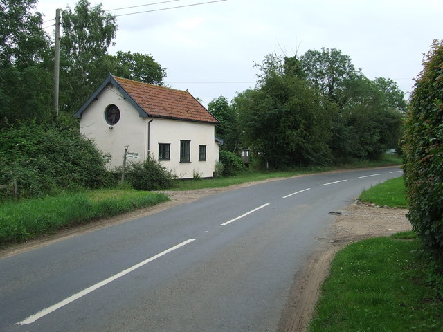
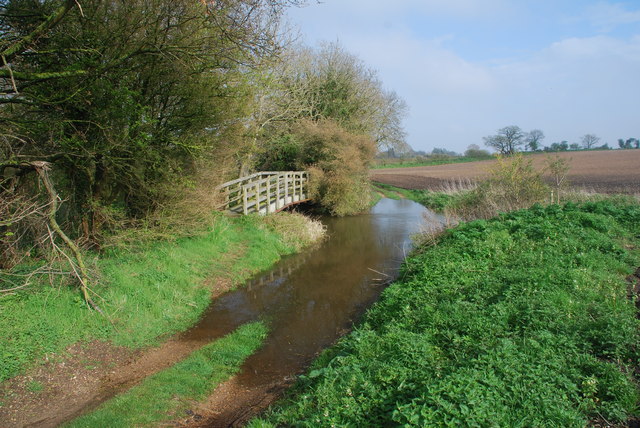
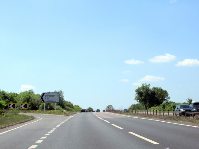
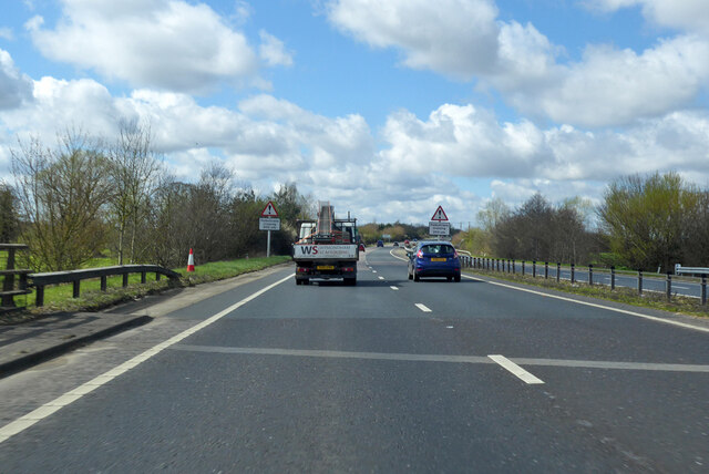
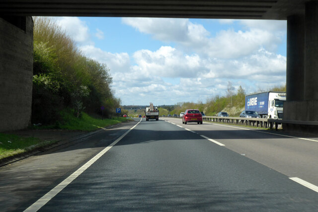
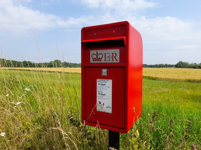
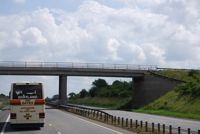
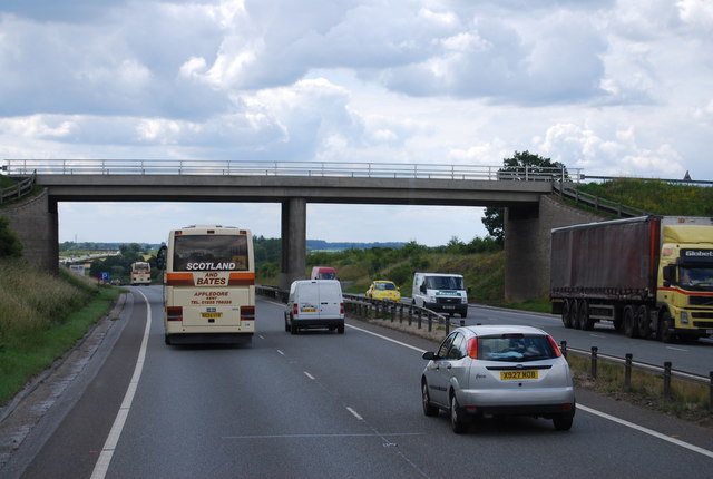
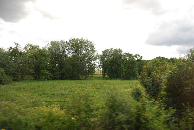
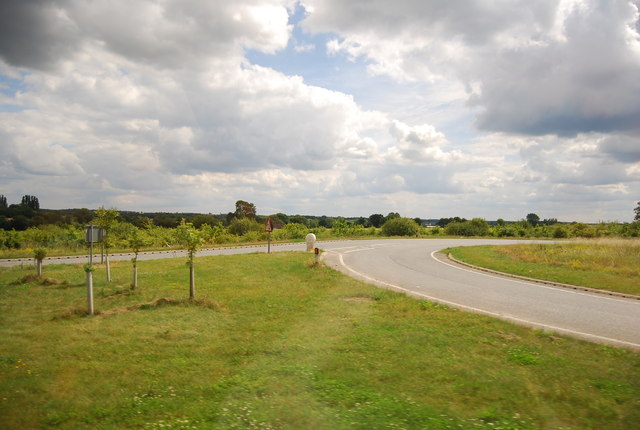
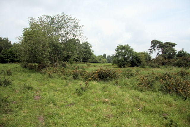
South End Images
Images are sourced within 2km of 52.476064/0.930256 or Grid Reference TL9990. Thanks to Geograph Open Source API. All images are credited.


South End is located at Grid Ref: TL9990 (Lat: 52.476064, Lng: 0.930256)
Administrative County: Norfolk
District: Breckland
Police Authority: Norfolk
What 3 Words
///restriction.enlighten.inform. Near East Harling, Norfolk
Nearby Locations
Related Wikis

Snetterton
Snetterton is a village and civil parish in Norfolk, England. The village is about 9 miles (14 km) east-northeast of Thetford and 19 miles (31 km) southwest...

Larling
Larling is a village and former civil parish, now in the parish of Roudham and Larling, in the Breckland district, in the county of Norfolk, England. The...

Kenninghall Road Mill, East Harling
Kenninghall Road Mill is a Grade II listed tower mill at East Harling, Norfolk, England which has been converted to residential accommodation. == History... ==

Snetterton Circuit
Snetterton Circuit is a motor racing course in Norfolk, England, originally opened in 1953. Owned by Jonathan Palmer's MotorSport Vision organisation,...

Roudham and Larling
Roudham and Larling is a civil parish in the English county of Norfolk. It includes the villages of Roudham and Larling. It covers an area of 15.20 km2...
East Harling Common
East Harling Common is a 15.1-hectare (37-acre) biological Site of Special Scientific Interest east of Thetford in Norfolk.The importance of this site...

Shropham
Shropham is a civil parish in the English county of Norfolk. It covers an area of 11.12 km2 (4.29 sq mi) and had a population of 351 in 155 households...
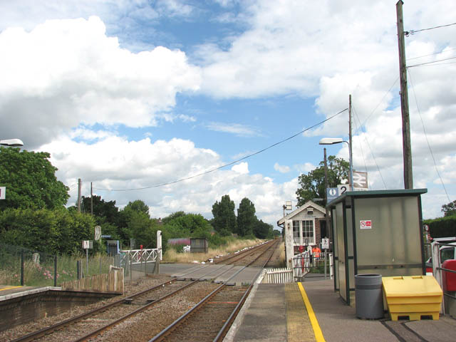
Eccles Road railway station
Eccles Road railway station is on the Breckland line in the east of England, serving the villages of Eccles, Quidenham and Wilby in Norfolk. The line runs...
Nearby Amenities
Located within 500m of 52.476064,0.930256Have you been to South End?
Leave your review of South End below (or comments, questions and feedback).