South End
Settlement in Bedfordshire
England
South End

The requested URL returned error: 429 Too Many Requests
If you have any feedback on the listing, please let us know in the comments section below.
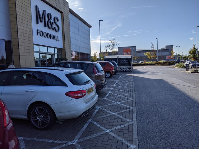
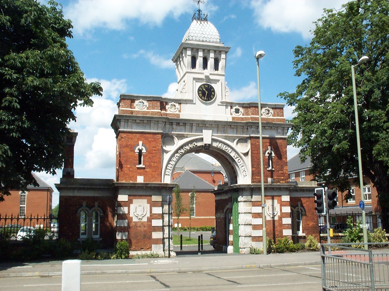
South End Images
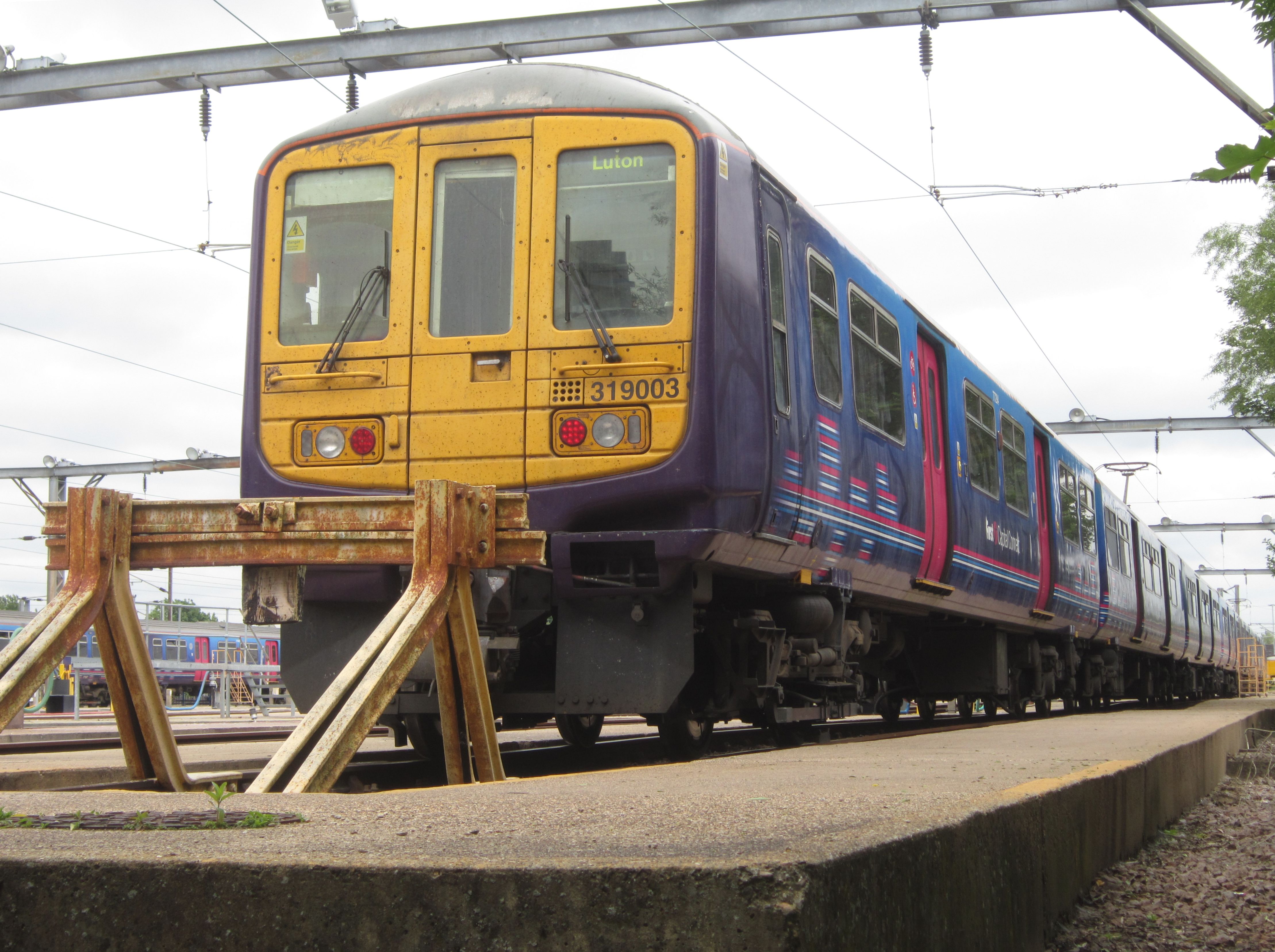
Images are sourced within 2km of 52.120792/-0.469972 or Grid Reference TL0448. Thanks to Geograph Open Source API. All images are credited.


South End is located at Grid Ref: TL0448 (Lat: 52.120792, Lng: -0.469972)
Unitary Authority: Bedford
Police Authority: Bedfordshire
What 3 Words
///agent.drip.march. Near Bedford, Bedfordshire
Nearby Locations
Related Wikis
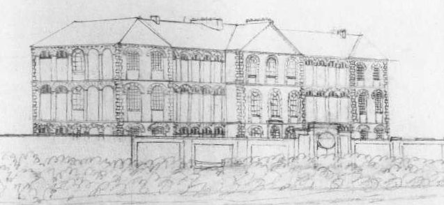
Bedford Lunatic Asylum
The Bedford Lunatic Asylum was a mental health facility. It opened in 1812 and closed in 1860. == History == Samuel Whitbread headed the committee which...
Cauldwell, Bedford
Cauldwell is an electoral ward and area within the town of Bedford, England. The boundaries of Cauldwell are approximately Rope Walk to the north, Redwood...
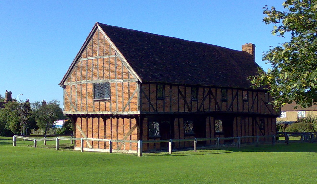
Moot Hall, Elstow
The Moot Hall, also known as the Green House, is a medieval structure on The Green in Elstow, Bedfordshire, England. The structure, which currently operates...
Bedford Carriage Sidings
Bedford Carriage Sidings are located in Bedford, Bedfordshire, England on the Midland Main Line, near Bedford station. == History == The former steam...
Nearby Amenities
Located within 500m of 52.120792,-0.469972Have you been to South End?
Leave your review of South End below (or comments, questions and feedback).